Bleaberry Hill
Hill, Mountain in Yorkshire Richmondshire
England
Bleaberry Hill

Bleaberry Hill, located in Yorkshire, England, is a prominent hill that forms part of the stunning landscape of the Yorkshire Dales National Park. Standing at an elevation of 590 meters (1,936 feet), it offers breathtaking panoramic views of the surrounding countryside.
This hill is known for its distinctive shape, with a gently sloping gradient that gradually ascends towards its summit. The terrain is predominantly covered in heather, giving the hill a beautiful purple hue during the summer months. Bleaberry Hill is also home to a variety of plant species, including bilberry bushes, from which it takes its name.
Hikers and outdoor enthusiasts flock to Bleaberry Hill to explore its diverse trails and take in its natural beauty. The ascent to the summit is relatively moderate, making it accessible for walkers of various fitness levels. From the top, visitors are treated to uninterrupted vistas of the Yorkshire Dales, with rolling hills, valleys, and quaint villages dotting the landscape.
The hill is particularly popular among birdwatchers, as it provides an excellent vantage point for observing a wide range of avian species. The hillside boasts a rich bird population, including peregrine falcons, curlews, and red grouse. It is not uncommon to spot these majestic creatures soaring through the skies or perched on rocky outcrops.
Bleaberry Hill offers a serene and peaceful escape from the hustle and bustle of everyday life. Its natural beauty, coupled with its accessibility and abundant wildlife, make it a must-visit destination for nature lovers and outdoor enthusiasts alike.
If you have any feedback on the listing, please let us know in the comments section below.
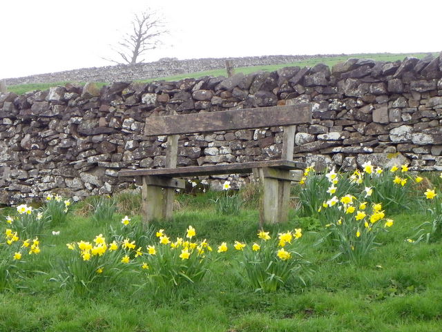
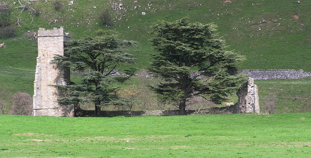
Bleaberry Hill Images
Images are sourced within 2km of 54.368002/-1.9074032 or Grid Reference SE0696. Thanks to Geograph Open Source API. All images are credited.


Bleaberry Hill is located at Grid Ref: SE0696 (Lat: 54.368002, Lng: -1.9074032)
Division: North Riding
Administrative County: North Yorkshire
District: Richmondshire
Police Authority: North Yorkshire
What 3 Words
///twit.certified.replays. Near Leyburn, North Yorkshire
Nearby Locations
Related Wikis

Marrick Priory
Marrick Priory was a Benedictine nunnery in Richmondshire, North Yorkshire, England, established between 1140 and 1160 by Roger de Aske. The parish Church...

Grinton Smelt Mill
Grinton Smelt Mill (also known as How Mill) is a ruined lead mining and processing site on Cogden Moor, south of Grinton in Swaledale, North Yorkshire...

Ellerton Abbey
Ellerton Abbey is a civil parish in the Richmondshire district of North Yorkshire, England. It is located on the River Swale in lower Swaledale, 6 miles...
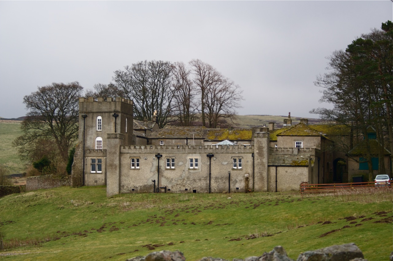
Grinton Lodge
Grinton Lodge is a 19th-century former shooting lodge that has been a youth hostel since 1948. A Grade II listed building, it is situated above the village...
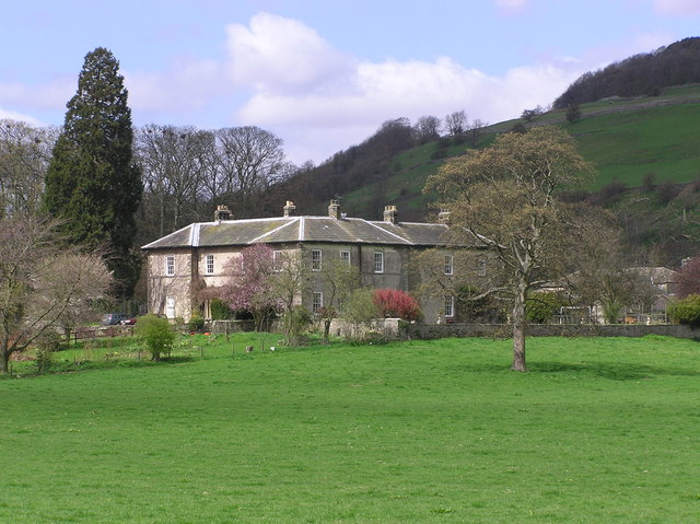
Ellerton Abbey House
Ellerton Abbey House is an historic building and estate in Ellerton Abbey, North Yorkshire, England. It was built around 1830 for the Fore Erle-Drax family...
Ellerton Priory (Swaledale)
Ellerton Priory was a priory of Cistercian nuns in Swaledale in North Yorkshire, England. Its ruins lie in the civil parish of Ellerton Abbey. == History... ==

Marrick
Marrick is a village and civil parish in the Richmondshire district of North Yorkshire, England, situated in lower Swaledale in the Yorkshire Dales National...
Grinton
Grinton is a small village and civil parish in the Yorkshire Dales, North Yorkshire, England. Close to Reeth and Fremington, it lies 9 miles (15 km) west...
Nearby Amenities
Located within 500m of 54.368002,-1.9074032Have you been to Bleaberry Hill?
Leave your review of Bleaberry Hill below (or comments, questions and feedback).