Benlow Hill
Hill, Mountain in Northumberland
England
Benlow Hill
Benlow Hill is a prominent hill located in the county of Northumberland, England. It stands at an elevation of approximately 204 meters (669 feet) above sea level, making it a notable landmark in the area. The hill is situated within the picturesque Northumberland National Park, which is renowned for its stunning natural beauty and rich biodiversity.
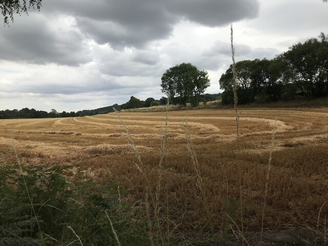
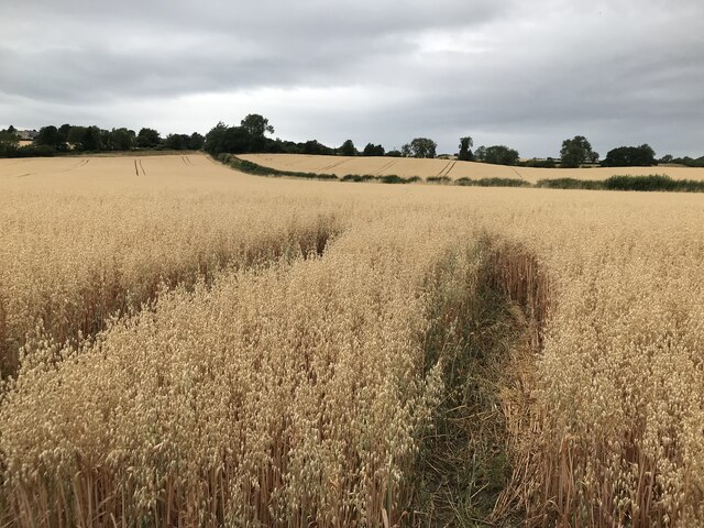
Benlow Hill offers breathtaking panoramic views of the surrounding countryside, including the nearby Cheviot Hills and the rolling landscapes of the Northumberland countryside. On a clear day, visitors can even catch a glimpse of the North Sea in the distance. The hill is covered in lush greenery, with a variety of plant species thriving in its fertile soils.
The area around Benlow Hill is home to a diverse range of wildlife, including various bird species, mammals, and insects. Nature enthusiasts can often spot red grouse, curlews, and skylarks, among other bird species, soaring through the skies above the hill. The hillside is also home to grazing livestock, adding to the rural charm of the area.
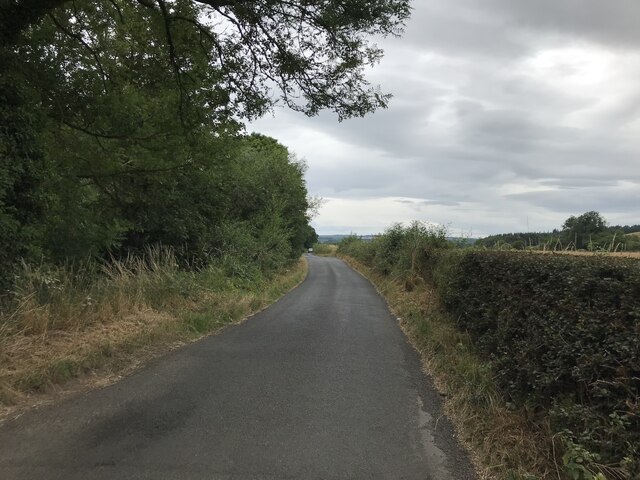
For those seeking outdoor activities, Benlow Hill offers excellent opportunities for hiking, walking, and nature exploration. There are several well-marked trails and footpaths that lead to the summit and provide stunning views along the way. The hill's close proximity to the Northumberland National Park also means that there are numerous other outdoor attractions and recreational activities available nearby, including cycling trails, nature reserves, and historical sites.
Overall, Benlow Hill is a captivating natural landmark in Northumberland, offering visitors a chance to immerse themselves in the beauty of the region's countryside and enjoy a range of outdoor activities.
If you have any feedback on the listing, please let us know in the comments section below.
Benlow Hill Images
Images are sourced within 2km of 54.973346/-1.9115498 or Grid Reference NZ0564. Thanks to Geograph Open Source API. All images are credited.


Benlow Hill is located at Grid Ref: NZ0564 (Lat: 54.973346, Lng: -1.9115498)
Unitary Authority: Northumberland
Police Authority: Northumbria
What 3 Words
///comply.ruler.pinch. Near Stocksfield, Northumberland
Nearby Locations
Related Wikis

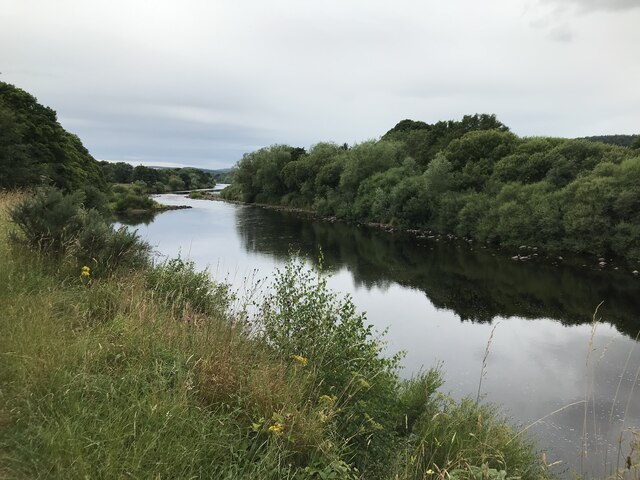
Ovington, Northumberland
The civil parish of Ovington lies in southern Northumberland, on the north bank of the River Tyne. It is one of the smallest parishes in the county....

Newton, Northumberland
Newton is a village and former civil parish, now the parish of Bywell, in Northumberland, England. It is situated close to the A69 road, 3 miles (5 km...

Bywell Bridge
Bywell Bridge is a 19th-century stone bridge across the River Tyne. It is a Grade II listed building. == History == The bridge was opened in 1838. It was...

Cherryburn
Cherryburn is a cottage in Mickley, Northumberland, England. It was the birthplace of Thomas Bewick, an English wood engraver and ornithologist. The cottage...

Bywell Castle
Bywell Castle is situated in the village of Bywell overlooking the River Tyne, four miles east of Corbridge, Northumberland, England (grid reference NZ049615...
Stocksfield
Stocksfield is a small commuter village situated close to the River Tyne, about 14 miles (23 km) west of Newcastle upon Tyne in the southern part of Northumberland...
Stocksfield Parish
Stocksfield, formerly Broomley and Stocksfield is a civil parish in Northumberland, England. At the 2001 census, the parish, which includes the village...

Branch End
Branch End is part of the village of Stocksfield in Northumberland, England. It is situated at the junction of the A695 Main Road with New Ridley Road...
Related Videos

Welcome to UK Tourism Online!
Welcome to UK Tourism Online North East England! Within this channel you'll find many playlists about accommodation, ...

Walking Route - Stocksfield to Bywell to North Acomb to Stocksfield
Walking Route - Stocksfield to Bywell to North Acomb to Stocksfield in Northumberland. Also tested crossing the A69. Start and ...

Coach Trip Holidays From The North East Of England | Reviews
In today's video we check out two different coach trip companies from the north East Of England. National Holidays and Family ...

Whitley Bay, Cullercoats, Tynemouth etc.
Some footage of my local beaches, mostly filmed at 5am after the sunrise!
Have you been to Benlow Hill?
Leave your review of Benlow Hill below (or comments, questions and feedback).