Bale Hill

Hill, Mountain in Northumberland

England

Bale Hill

'Young Wood' between New Ridley and Apperley Dene
'Young Wood' between New Ridley and Apperley Dene Credit: Ann Hodgson

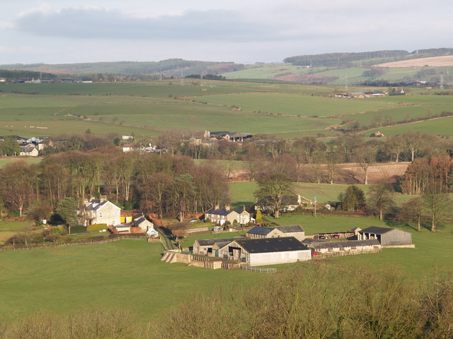
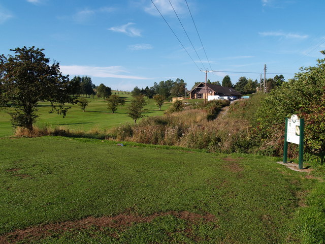
Bale Hill, located in Northumberland, England, is a prominent hill that offers picturesque views of the surrounding landscape. Standing at an elevation of 1,080 feet (329 meters), it is one of the highest points in the area, making it a popular destination for hikers and nature enthusiasts.

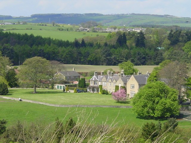
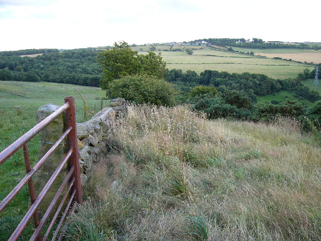
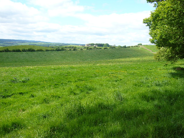
Situated in the North Pennines Area of Outstanding Natural Beauty, Bale Hill is characterized by its rolling moorland and heather-covered slopes. The hill is known for its rugged terrain, with rocky outcrops and steep inclines adding to its appeal for more experienced walkers.

The summit of Bale Hill provides breathtaking panoramic views of Northumberland and its neighboring counties. On a clear day, visitors can admire the sweeping vistas of the Cheviot Hills, the Simonside Hills, and even glimpses of the Scottish borders in the distance. The surrounding area is home to an abundance of wildlife, including birds of prey, grouse, and the occasional glimpse of wild deer.

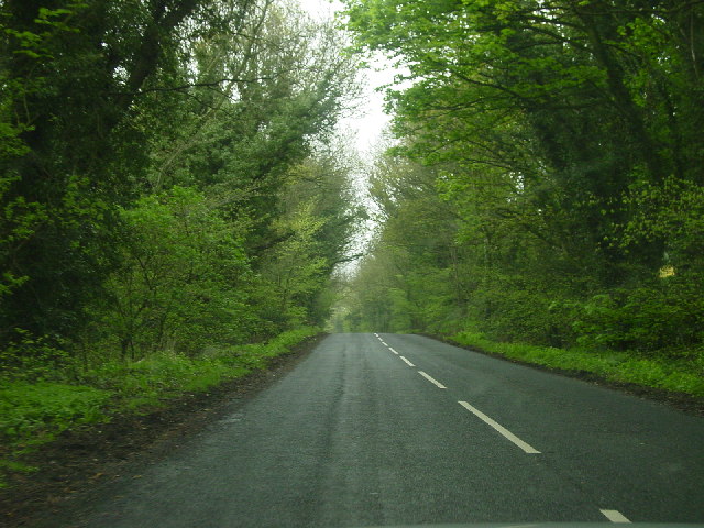
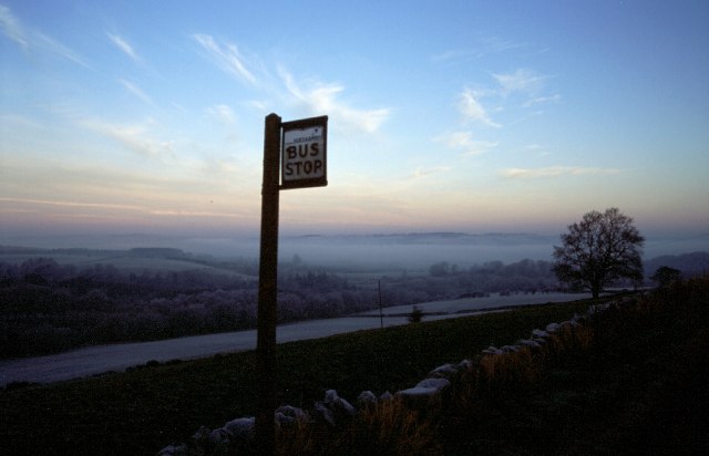
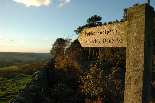
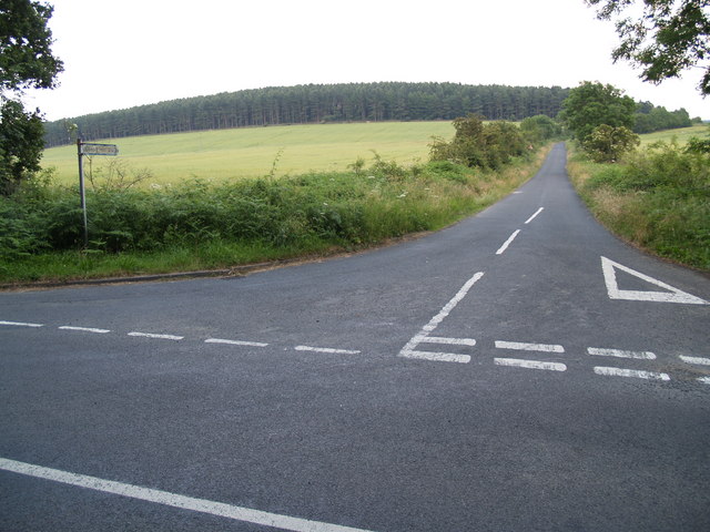
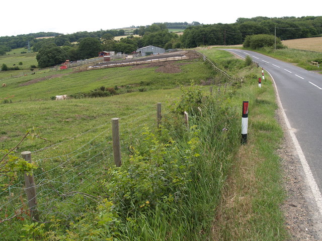
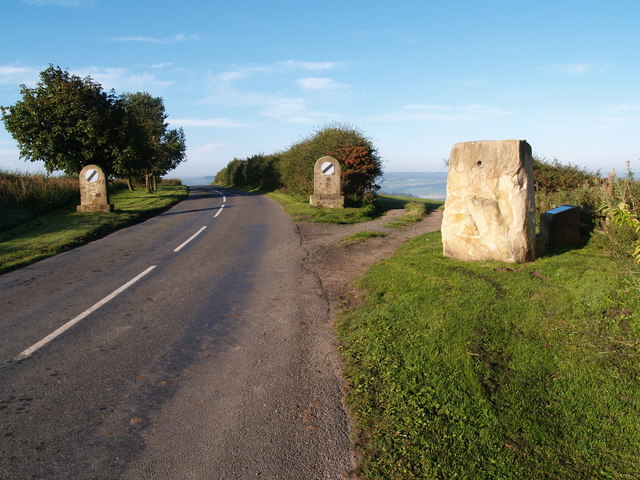
Access to Bale Hill is primarily through public footpaths and bridleways, which are well-maintained and signposted. The hill is located near the village of Elsdon, which offers amenities such as parking, accommodation, and refreshments for those embarking on a hike up the hill.

Bale Hill is a destination that showcases the natural beauty of Northumberland, offering visitors a chance to immerse themselves in the tranquil countryside and enjoy the striking views that this elevated vantage point provides.

If you have any feedback on the listing, please let us know in the comments section below.
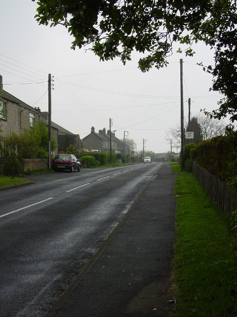
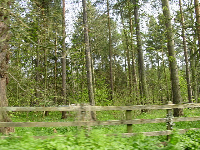
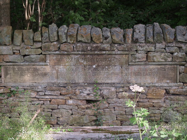
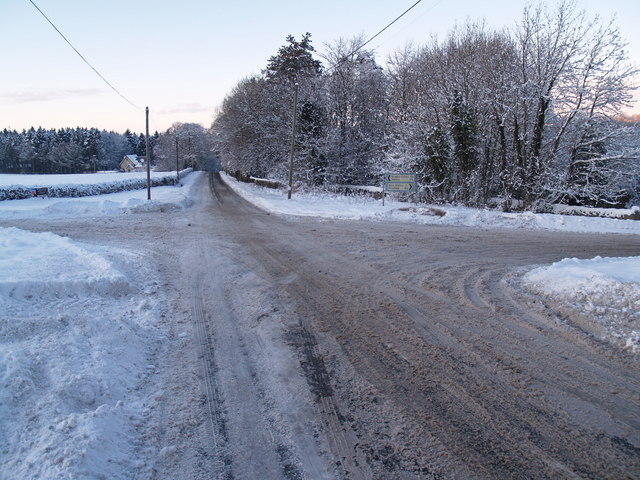
Bale Hill Images

Images are sourced within 2km of 54.926744/-1.9121979 or Grid Reference NZ0559. Thanks to Geograph Open Source API. All images are credited.

'Young Wood' between New Ridley and Apperley Dene
New Ridley village, not looking its best.
Woodland on the B6306 past Wheel Birks Bridge
Hindley from Bale Hill
Bus Stop, New Ridley
Whittonstall Village from Apperley Fell Looking south east towards Whittonstall Village from Apperley Fell.
Whittonstall Village from Apperley Fell
Looking south east towards Whittonstall Village from Apperley Fell.
B6309 From Whittonstall Looking towards Kipperlynn on the B6309 on true winter's day.
B6309 From Whittonstall
Looking towards Kipperlynn on the B6309 on true winter's day.
Apperley Fell Farmland Fields adjacent to Apperley Fell from below Hedley Grange Wood.
Apperley Fell Farmland
Fields adjacent to Apperley Fell from below Hedley Grange Wood.
View over Apperley Bank
Hindley near Stocksfield The hamlet of Hindley is in the foreground and just above is another hamlet called Brookside both residing in the Parish of Broomley and Stocksfield.
Hindley near Stocksfield
The hamlet of Hindley is in the foreground and just above is another hamlet called Brookside both residing in the Parish of Broomley and Stocksfield.
Watch Hill Road Junction on Lead Road Watch Hill is the pine wooded Hill visible to the south.
Watch Hill Road Junction on Lead Road
Watch Hill is the pine wooded Hill visible to the south.
B6309 and Dere Street Farm buildings The immediate foreground shows a recently layered hawthorn hedge.
On the top most horizon is the village of Whittonstall.
B6309 and Dere Street Farm buildings
The immediate foreground shows a recently layered hawthorn hedge. On the top most horizon is the village of Whittonstall.
Foot Bridge and Ford on Batt House Road
Stocksfield Golf Club and Course
Hedley on the Hill village limits and Millennium Stone The road climbs up the steep hill from Stocksfield and enters the village from the west. The Millennium Stone has a seat on the other side for those wanting to enjoy the grand view of the Tyne valley.
Hedley on the Hill village limits and Millennium Stone
The road climbs up the steep hill from Stocksfield and enters the village from the west. The Millennium Stone has a seat on the other side for those wanting to enjoy the grand view of the Tyne valley.
Inscription on Wheelbirks Bridge (west side) Inscription on Wheelbirks Bridge which carries Dere Street over the Stocksfield Burn.
Inscription on Wheelbirks Bridge (west side)
Inscription on Wheelbirks Bridge which carries Dere Street over the Stocksfield Burn.
Inscription on Wheelbirks Bridge (east side) The inscription reads:
"Does the road lead up hill all the way. Yes to the very end.
Will the journey take the whole long day. From morn to night my friend."
Inscription on Wheelbirks Bridge (east side)
The inscription reads: "Does the road lead up hill all the way. Yes to the very end. Will the journey take the whole long day. From morn to night my friend."
Inscription at Watch Hill road junction The whole inscription reads:-

For Friends in Council

“It is good in conversation: to vary speech of present occasion: with experience of the past: fact with argument: tales with reason: question with opinion: jest with earnest: but tiresome to press discourse too far:”

1901
Inscription at Watch Hill road junction
The whole inscription reads:- For Friends in Council “It is good in conversation: to vary speech of present occasion: with experience of the past: fact with argument: tales with reason: question with opinion: jest with earnest: but tiresome to press discourse too far:” 1901
Show me another place!

Bale Hill is located at Grid Ref: NZ0559 (Lat: 54.926744, Lng: -1.9121979)

Unitary Authority: Northumberland

Police Authority: Northumbria

What 3 Words

///chambers.snowmen.croutons. Near Stocksfield, Northumberland

Related Wikis

New Ridley

New Ridley is a hamlet in the county of Northumberland, England. It is in the parish of Stocksfield and the parliamentary constituency of Hexham. It is...

Apperley Dene

Apperley Dene is a hamlet in Stocksfield parish, Northumberland, England. It is situated south of the River Tyne between Hexham and Newcastle upon Tyne...

Hindley, Northumberland

Hindley is a small hamlet, comprising around 20 residences. It is in the parish of Stocksfield and is just to the south of Stocksfield in Northumberland...

Painshawfield Estate

The Painshawfield, Batt House and Birches Nook Estate is a housing estate in the village of Stocksfield in Northumberland, England. It is commonly known...

Hedley on the Hill

Hedley on the Hill is a village in Northumberland, west of Newcastle upon Tyne. It is located between the valley of the River Derwent, and the watershed...

Stocksfield railway station

Stocksfield is a railway station on the Tyne Valley Line, which runs between Newcastle and Carlisle via Hexham. The station, situated 14 miles 47 chains...

Stocksfield

Stocksfield is a small commuter village situated close to the River Tyne, about 14 miles (23 km) west of Newcastle upon Tyne in the southern part of Northumberland...

Stocksfield Parish

Stocksfield, formerly Broomley and Stocksfield is a civil parish in Northumberland, England. At the 2001 census, the parish, which includes the village...

Nearby Amenities

Located within 500m of 54.926744,-1.9121979
Pub
The Doctor Syntax
Addr City: New Ridley
Addr Street: New Ridley Road
Alt Name: The Syntax
Lat/Long: 54.9292027/-1.9105308
Power: tower
Lat/Long: 54.9243517/-1.91815
Barrier: stile
Lat/Long: 54.9298151/-1.9106514
Restaurant
Lat/Long: 54.9287497/-1.9061083
Bus Stop
Bench: no
Covered: yes
Naptan AtcoCode: 3100Z058594
Naptan NaptanCode: nldagjwm
Shelter: yes
Lat/Long: 54.9293803/-1.9101594
Post Box
Post Box Type: lamp
Ref: NE43 298
Royal Cypher: EIIR
Royal Cypher Wikidata: Q33102113
Lat/Long: 54.9293927/-1.9102667
Generator Method: photovoltaic
Generator Output Electricity: yes
Generator Source: solar
Generator Type: solar_photovoltaic_panel
Location: roof
Power: generator
Lat/Long: 54.9296247/-1.9112778
Generator Method: photovoltaic
Generator Output Electricity: yes
Generator Source: solar
Generator Type: solar_photovoltaic_panel
Location: roof
Power: generator
Lat/Long: 54.9287504/-1.9062044
Generator Method: photovoltaic
Generator Output Electricity: yes
Generator Source: solar
Generator Type: solar_photovoltaic_panel
Location: roof
Power: generator
Lat/Long: 54.9282109/-1.9077011
Power: pole
Lat/Long: 54.930941/-1.9103773
Power: pole
Lat/Long: 54.9305283/-1.9092743
Power: pole
Lat/Long: 54.9301438/-1.9082662
Power: pole
Lat/Long: 54.9297617/-1.9072416
The data included in this document is from www.openstreetmap.org. The data is made available under ODbL.

Have you been to Bale Hill?

Leave your review of Bale Hill below (or comments, questions and feedback).