Knowsley Hill
Hill, Mountain in Yorkshire
England
Knowsley Hill

Knowsley Hill is a prominent landmark located in the picturesque county of Yorkshire, England. It is situated in the southern part of the county, near the town of Knowsley. While not classified as a mountain, it is a notable and distinct hill within the region.
Rising to an elevation of approximately 200 meters (656 feet), Knowsley Hill offers breathtaking panoramic views of the surrounding countryside. Its location provides visitors with an excellent vantage point to appreciate the beauty of Yorkshire's rolling hills, lush green fields, and quaint villages.
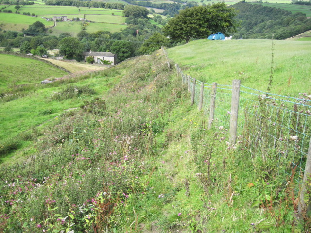
The hill itself is covered in a patchwork of vegetation, including grasses, shrubs, and scattered trees. This diverse flora provides a habitat for a range of wildlife, making Knowsley Hill a popular destination for nature enthusiasts and birdwatchers.
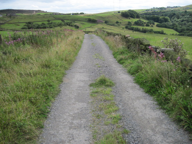
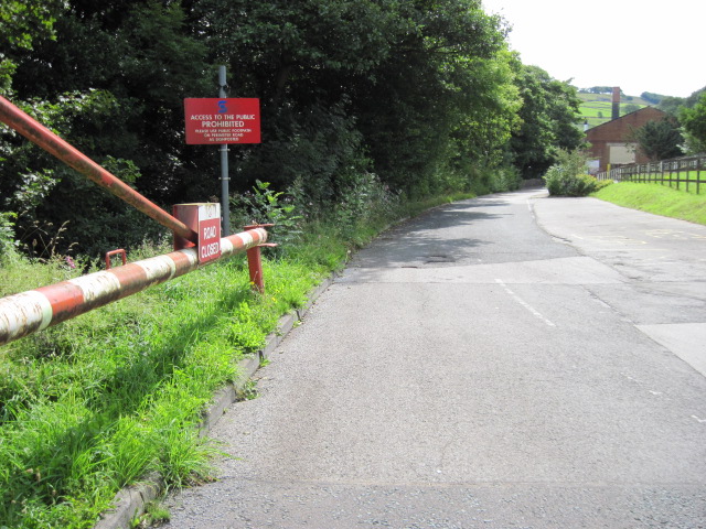
Access to Knowsley Hill is easy, with well-maintained paths and trails leading to the summit. Visitors can enjoy leisurely walks or more strenuous hikes, depending on their preferences. Along the way, they may encounter historical landmarks, such as ancient stone walls or remnants of old settlements, adding an extra layer of interest to the experience.
At the top of Knowsley Hill, visitors can take in the breathtaking views and enjoy a moment of tranquility. Whether it is a sunny day with clear blue skies or a misty afternoon, the ever-changing landscape provides a sense of awe and appreciation for the natural beauty of Yorkshire.
Knowsley Hill is a hidden gem within Yorkshire, offering an escape from the hustle and bustle of modern life and a chance to reconnect with nature.
If you have any feedback on the listing, please let us know in the comments section below.
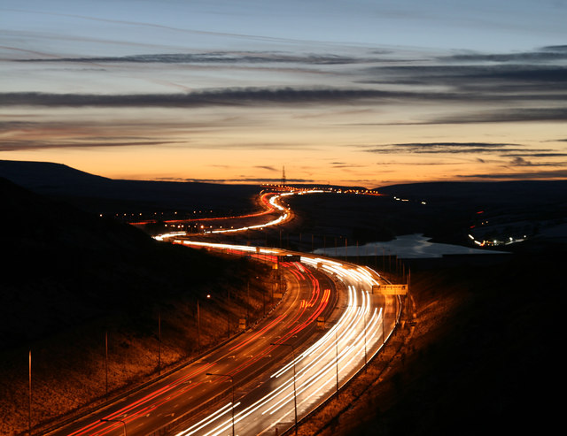
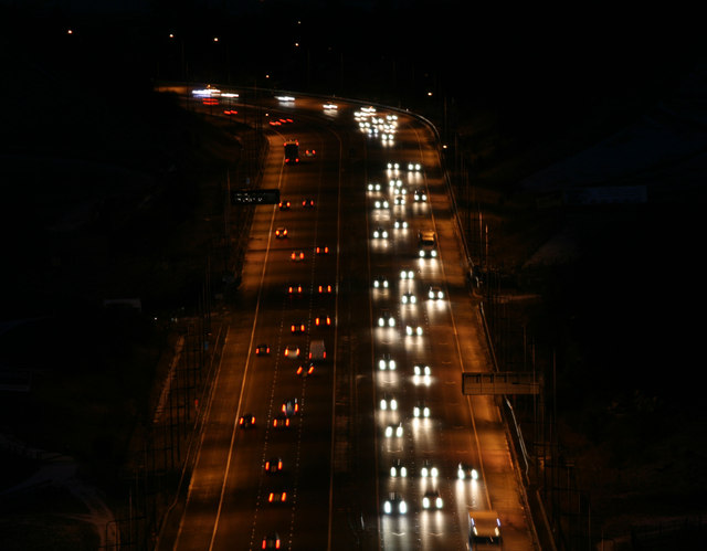
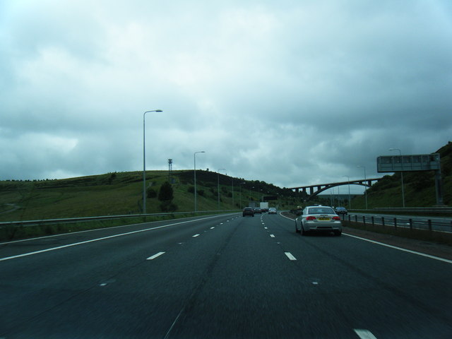
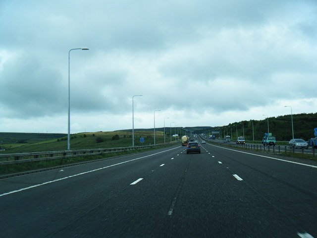
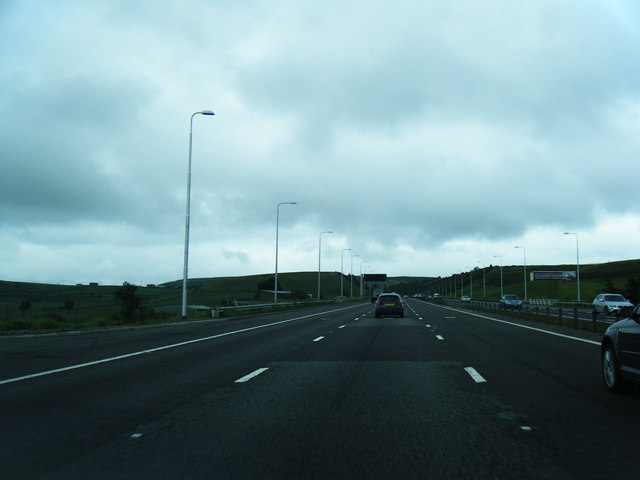
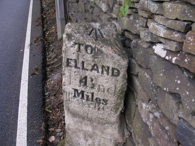
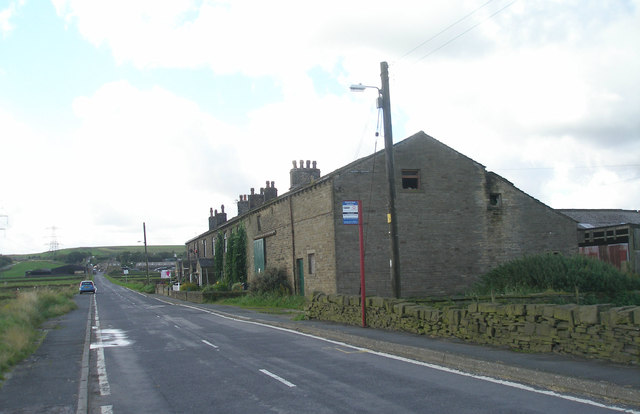
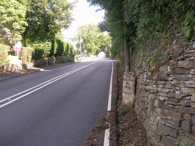
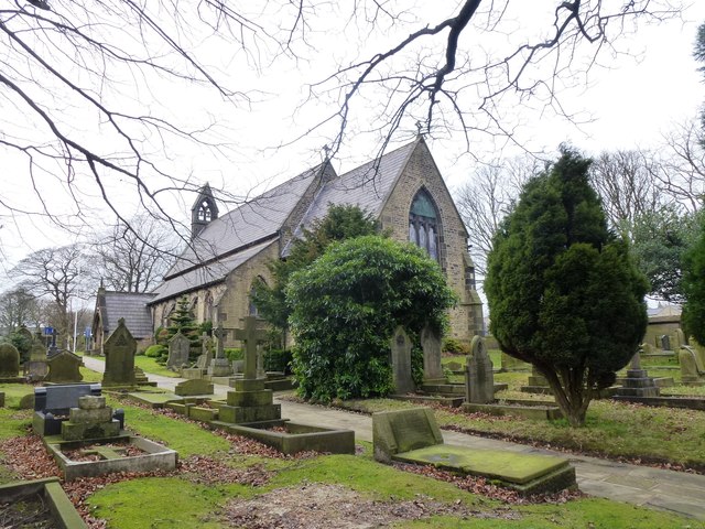
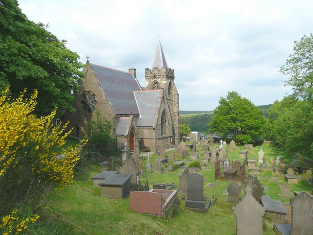
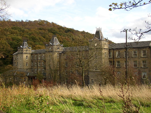
Knowsley Hill Images
Images are sourced within 2km of 53.659001/-1.9167828 or Grid Reference SE0518. Thanks to Geograph Open Source API. All images are credited.


Knowsley Hill is located at Grid Ref: SE0518 (Lat: 53.659001, Lng: -1.9167828)
Division: West Riding
Unitary Authority: Calderdale
Police Authority: West Yorkshire
What 3 Words
///professed.muted.line. Near Barkisland, West Yorkshire
Nearby Locations
Related Wikis

Black Brook, West Yorkshire
The Black Brook is a small river in Calderdale, West Yorkshire, England. The Black Brook rises near the border of Calderdale and Kirklees next to Scammonden...
Scammonden
Scammonden or Dean Head was a village close to Huddersfield, in the Dean Head Valley, England, before the valley was flooded to create Scammonden Reservoir...

Scammonden Bridge
Scammonden Bridge, also known locally as the Brown Cow Bridge (after the nearby Brown Cow Inn, now closed), spans the Deanhead cutting carrying the B6114...
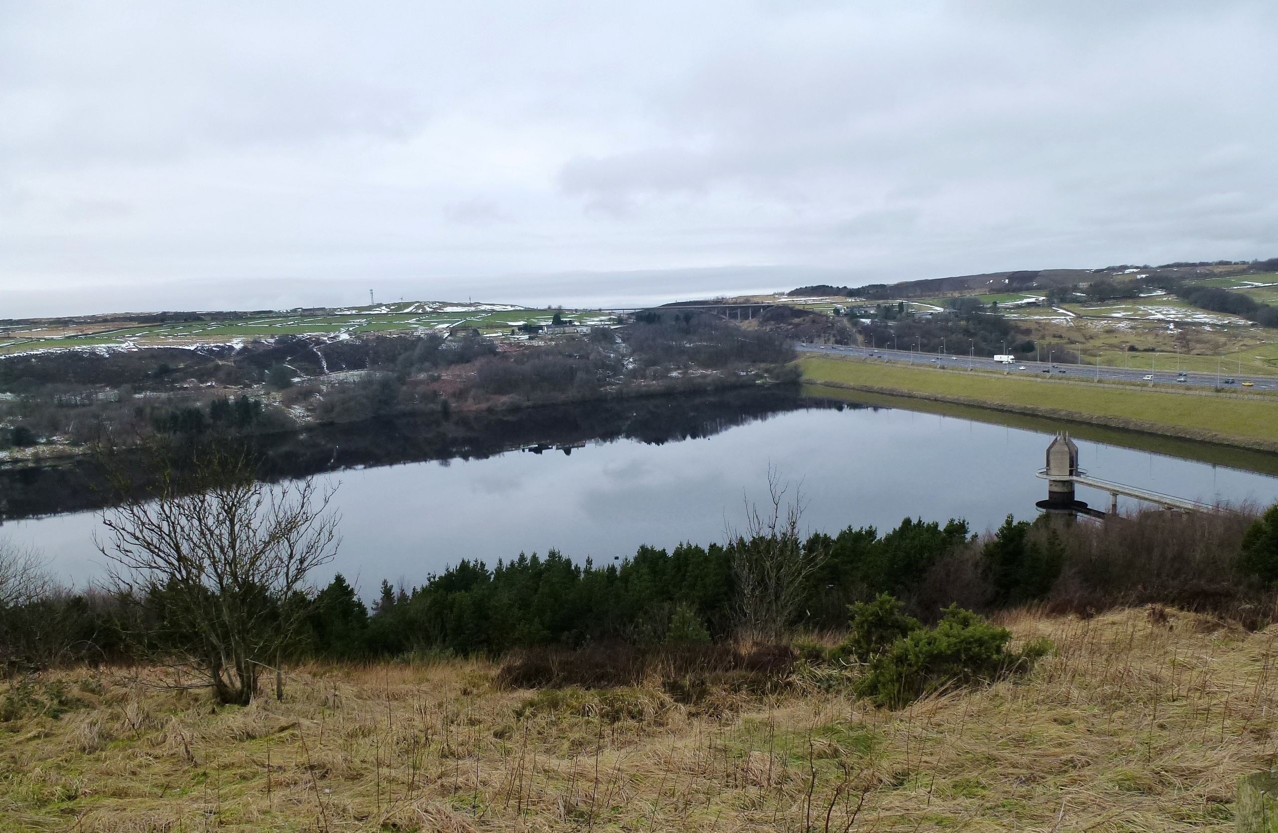
Scammonden Reservoir
Scammonden Reservoir is a water reservoir in West Yorkshire, England. Its water surface area when full is 42 hectares (0.16 sq mi). The level of the bellmouth...

Rishworth railway station
Rishworth railway station was a railway station on the Rishworth branch, built by the Lancashire & Yorkshire Railway, to serve the village of Rishworth...
Barkisland
Barkisland () is a village in Calderdale, West Yorkshire, England. Historically part of the West Riding of Yorkshire, it is 1 mile (1.6 km) east of Ripponden...

Ripponden and Barkisland railway station
Ripponden and Barkisland railway station was opened by the Lancashire & Yorkshire Railway on the Rishworth branch in 1878 as Ripponden. Ripponden is in...

Rishworth
Rishworth is a village in Calderdale, West Yorkshire, England. Historically in the West Riding of Yorkshire, it has a small church, farms and schools...
Nearby Amenities
Located within 500m of 53.659001,-1.9167828Have you been to Knowsley Hill?
Leave your review of Knowsley Hill below (or comments, questions and feedback).