Longdon Hill

Hill, Mountain in Worcestershire Wychavon

England

Longdon Hill

A44 - view across the Badsey Brook's valley
A44 - view across the Badsey Brook's valley Credit: Peter Whatley

Longdon Hill, located in Worcestershire, England, is a prominent hill that forms part of the Malvern Hills range. It is situated near the village of Longdon, approximately 5 miles southeast of the town of Upton-upon-Severn.

Rising to a height of 284 meters (932 feet), Longdon Hill offers breathtaking panoramic views of the surrounding countryside. The hill is characterized by its steep slopes, which are covered in lush green vegetation, including grasses, shrubs, and occasional patches of woodland. The area is known for its rich biodiversity, with a variety of plant and animal species calling it home.

Longdon Hill is a popular destination for walkers, hikers, and nature enthusiasts. Several footpaths and trails crisscross the hill, providing visitors with opportunities to explore its diverse landscape. Additionally, the hill is a designated Area of Outstanding Natural Beauty, ensuring its preservation for future generations.

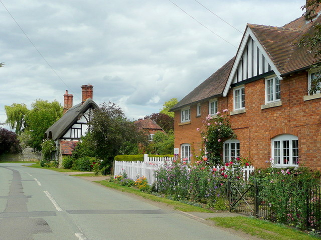
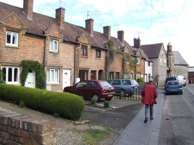
At the base of Longdon Hill lies the picturesque village of Longdon, which is known for its historic buildings and charming atmosphere. The hill's proximity to the village makes it easily accessible for residents and visitors alike.

Overall, Longdon Hill in Worcestershire offers a tranquil and scenic escape for those seeking to immerse themselves in the natural beauty of the Malvern Hills. Its stunning vistas, diverse ecosystems, and recreational opportunities make it a must-visit destination for outdoor enthusiasts and nature lovers.

If you have any feedback on the listing, please let us know in the comments section below.
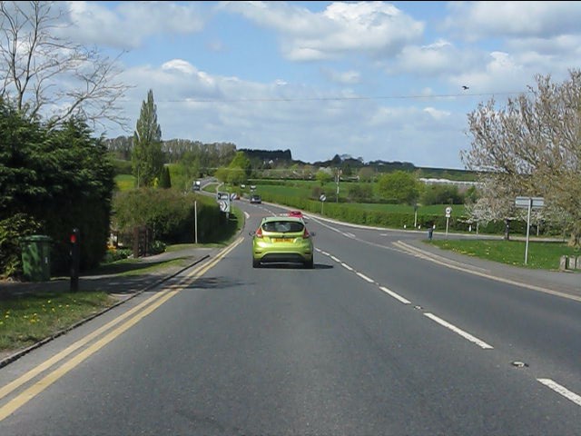
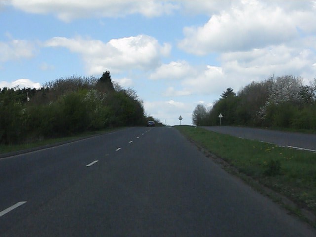
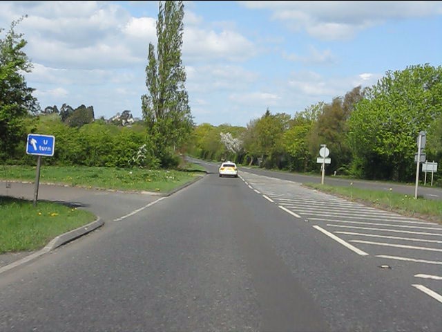
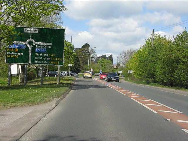
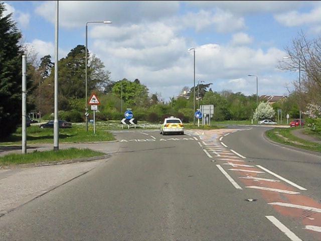
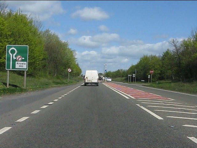
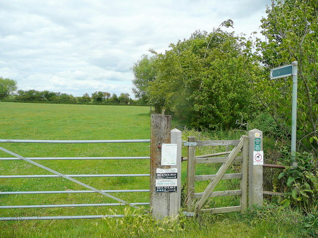
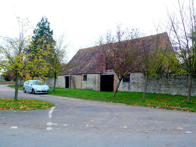
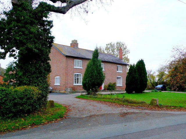
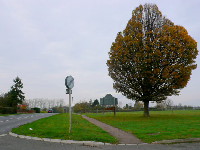
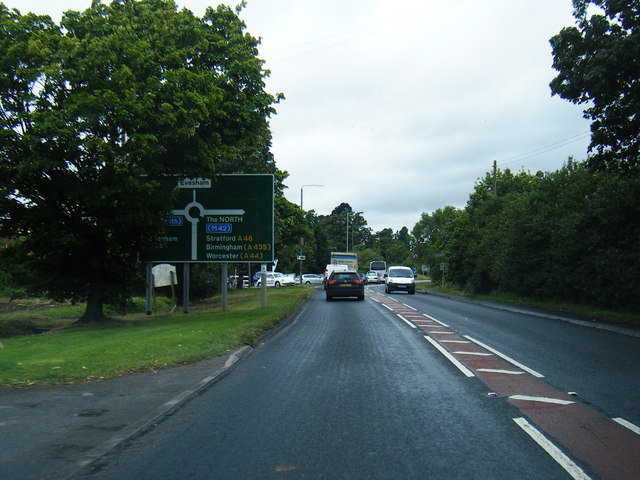
Longdon Hill Images

Images are sourced within 2km of 52.07313/-1.9265087 or Grid Reference SP0541. Thanks to Geograph Open Source API. All images are credited.

A44 - view across the Badsey Brook's valley
A44 at Leystones Garage
A brief interlude of dual carriageway Blessed relief on the A44 over Longdon Hill!
A brief interlude of dual carriageway
Blessed relief on the A44 over Longdon Hill!
Dual carriageway ends on the A44 The north side of Longdon Hill's dual carriageway.  The "U" turn facility is interesting: this is the only signpost for it.
Dual carriageway ends on the A44
The north side of Longdon Hill's dual carriageway. The "U" turn facility is interesting: this is the only signpost for it.
A44 approaches the Evesham bypass The A44 and A46 are conjoined for the bypass, going separate ways again near Twyford.
A44 approaches the Evesham bypass
The A44 and A46 are conjoined for the bypass, going separate ways again near Twyford.
A44 southern roundabout, Evesham bypass
Evesham bypass - no right turn ahead for Knowle Hill
Footpath to Wickhamford church Heading north from the Evesham Road.
Footpath to Wickhamford church
Heading north from the Evesham Road.
Cottages in Wickhamford Victorian, and older, farm cottages at the church end of the village.
Cottages in Wickhamford
Victorian, and older, farm cottages at the church end of the village.
Crossing Davies Road, Evesham
The way to town, Evesham From Davies Road, through the houses.
The way to town, Evesham
From Davies Road, through the houses.
Old Barn at Wickhamford This old barn is one of the old agricultural buildings associated with the old Manor House which is just round the corner. It is just off the road to Badsey.
Old Barn at Wickhamford
This old barn is one of the old agricultural buildings associated with the old Manor House which is just round the corner. It is just off the road to Badsey.
House at Wickham Farm This is the main house for what appears to be a large working farm on the west side of Manor Road, the main road down through Wickhamford.
House at Wickham Farm
This is the main house for what appears to be a large working farm on the west side of Manor Road, the main road down through Wickhamford.
Sandys Arms Public House This pub is on Manor Road at its junction with Longdon Hill and Pitchers Hill. The main road , the A44 now misses out the pub by a few yards due to road straightening.
Sandys Arms Public House
This pub is on Manor Road at its junction with Longdon Hill and Pitchers Hill. The main road , the A44 now misses out the pub by a few yards due to road straightening.
Wickhamford This is the green triangle on the A44 at Wickhamford. The old road passes behind the tree and goes off to the village on the right. The road was straightened many years ago and the new straight road is on the left.
Wickhamford
This is the green triangle on the A44 at Wickhamford. The old road passes behind the tree and goes off to the village on the right. The road was straightened many years ago and the new straight road is on the left.
Ropers Farm This farm is just outside Evesham of the A44 at Pitchers Hill. Just behind it is the small rise of Longdon Hill.
Ropers Farm
This farm is just outside Evesham of the A44 at Pitchers Hill. Just behind it is the small rise of Longdon Hill.
A44 looking north west
A44 nears Evesham by-pass roundabout
Show me another place!

Longdon Hill is located at Grid Ref: SP0541 (Lat: 52.07313, Lng: -1.9265087)

Administrative County: Worcestershire

District: Wychavon

Police Authority: West Mercia

What 3 Words

///sandbags.juniors.snows. Near Badsey, Worcestershire

Nearby Locations

The Spinney Longdon Hill

Related Wikis

Bengeworth

Bengeworth is a locality adjoining Evesham in Worcestershire, England. In 1887 it had a population of 1,311. Today it has a school and an Anglican church...

Vale of Evesham School

Vale of Evesham School in Evesham, in the county of Worcestershire, England, is a special needs school for around 150 mixed gender pupils aged 3 to 19...

The De Montfort School

The De Montfort School (formerly known as The Federation of Evesham High School & Simon de Montfort Middle School) is a co-educational secondary school...

Wickhamford

Wickhamford is a village and a civil parish in Worcestershire, England. It is situated on the A44 road approximately halfway between the towns of Evesham...

Nearby Amenities

Located within 500m of 52.07313,-1.9265087
Power: pole
Lat/Long: 52.0764481/-1.9246997
Power: pole
Lat/Long: 52.0735449/-1.9250699
Power: pole
Lat/Long: 52.0709005/-1.925955
Power: pole
Lat/Long: 52.069659/-1.9263734
Power: pole
Lat/Long: 52.0750353/-1.9245817
Power: pole
Lat/Long: 52.0722161/-1.9255098
Lift UP Gym
Addr City: Evesham
Addr Housename: !st Floor, Stewart House, 7F
Phone: +441386830668
Website: https://www.liftupgym.com/
Lat/Long: 52.0732443/-1.9336972
Fire Hydrant
Emergency: fire_hydrant
Fire Hydrant Type: underground
Water Source: main
Lat/Long: 52.0729705/-1.9331172
Fire Hydrant
Emergency: fire_hydrant
Fire Hydrant Type: underground
Water Source: main
Lat/Long: 52.0729963/-1.9334558
Fire Hydrant
Emergency: fire_hydrant
Fire Hydrant Type: underground
Water Source: main
Lat/Long: 52.0740464/-1.9315515
Windy Ridge
Power: pole
Transformer: distribution
Voltage Primary: 11000
Lat/Long: 52.0751668/-1.9222145
Power: pole
Lat/Long: 52.0760599/-1.9218591
Location Transition: yes
Power: pole
Lat/Long: 52.0712921/-1.9323425
Power: pole
Lat/Long: 52.0708552/-1.9312401
Power: pole
Lat/Long: 52.0704529/-1.9302182
Power: pole
Lat/Long: 52.0700704/-1.9292875
Power: pole
Lat/Long: 52.0699748/-1.9279879
Power: pole
Lat/Long: 52.0699113/-1.9270894
Power: pole
Lat/Long: 52.0698132/-1.9258676
Power: pole
Lat/Long: 52.0697646/-1.9252293
Power: pole
Lat/Long: 52.0697827/-1.9239968
Power: pole
Lat/Long: 52.0697934/-1.9229776
Power: pole
Lat/Long: 52.0698099/-1.9218779
The data included in this document is from www.openstreetmap.org. The data is made available under ODbL.

Have you been to Longdon Hill?

Leave your review of Longdon Hill below (or comments, questions and feedback).