Blake's Hill
Hill, Mountain in Gloucestershire Wychavon
England
Blake's Hill
Blake's Hill is a prominent hill located in the rural county of Gloucestershire in England. Standing at an elevation of approximately 180 meters, it is part of the picturesque Cotswold range and offers breathtaking panoramic views of the surrounding countryside.
Situated near the village of Batsford, Blake's Hill is covered in lush greenery, with its slopes adorned by an abundance of trees, including beech and oak. The hill's terrain is mostly gentle, making it accessible for hikers and nature enthusiasts of all skill levels.
At the summit of Blake's Hill, visitors can enjoy a stunning vista, with rolling hills, farmland, and quaint villages stretching out as far as the eye can see. On a clear day, it is even possible to catch a glimpse of the nearby Malvern Hills and the distant Welsh mountains.
The hill is named after the renowned English poet and painter William Blake, who is said to have found inspiration in the beauty of the landscape during his visits to the area.
Blake's Hill is a popular destination for outdoor activities such as walking, picnicking, and birdwatching. The area is home to a diverse range of flora and fauna, including various bird species, small mammals, and wildflowers.
Overall, Blake's Hill is a tranquil and idyllic spot, offering visitors a chance to immerse themselves in nature and experience the breathtaking beauty of the Gloucestershire countryside.
If you have any feedback on the listing, please let us know in the comments section below.
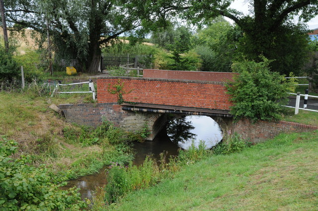
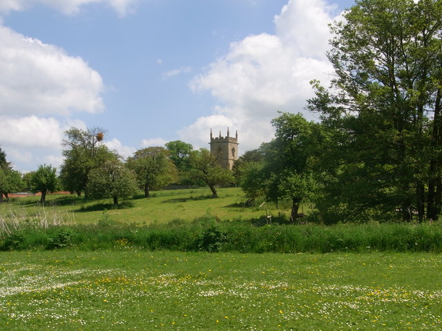
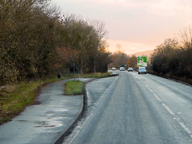
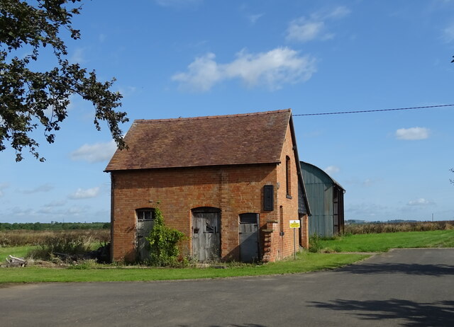
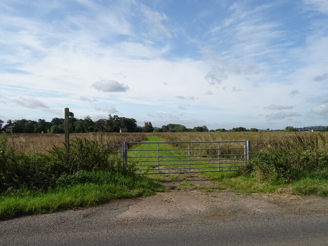
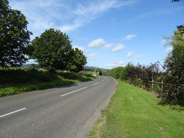
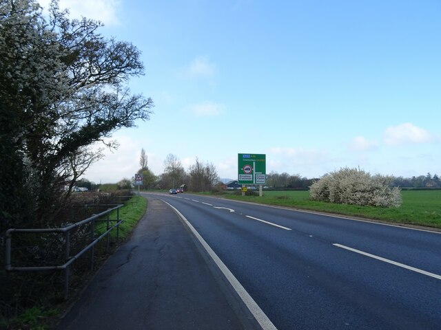
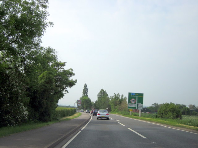
Blake's Hill Images
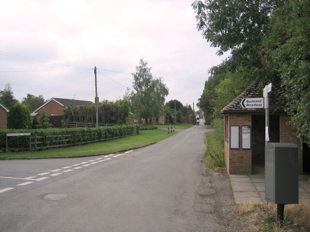
Images are sourced within 2km of 52.051007/-1.9485793 or Grid Reference SP0339. Thanks to Geograph Open Source API. All images are credited.


Blake's Hill is located at Grid Ref: SP0339 (Lat: 52.051007, Lng: -1.9485793)
Administrative County: Worcestershire
District: Wychavon
Police Authority: West Mercia
What 3 Words
///strongman.wove.basically. Near Evesham, Worcestershire
Nearby Locations
Related Wikis
Hinton on the Green
Hinton on the Green is a village and civil parish in the Wychavon district of Worcestershire in England. It is situated at the foot of Bredon Hill, about...

Sedgeberrow
Sedgeberrow is a village and civil parish in the Wychavon district of Worcestershire, England, about 3 miles (4.8 km) south of Evesham. It stands beside...
Aston Somerville
Aston Somerville is a small village approximately 3 miles (4.8 km) south of Evesham, Worcestershire, England. == History == Historically, the Aston Somerville...

Hinton railway station (England)
Hinton railway station was a station on the Midland Railway between Tewkesbury and Evesham, England. It opened 1 October 1864 by the Midland Railway. The...

Evesham United F.C.
Evesham United Football Club are an English football club based in Evesham, Worcestershire. They reached the first round proper of the FA Cup for the first...

Murcot
Murcot is a hamlet in the English county of Worcestershire. Murcot is located in the west of the Vale of Evesham and is to the west and south of the village...

Wormington
Wormington is a village civil parish in the Tewkesbury district, in Gloucestershire, England. It lies on the River Isbourne, 5 miles (8 km) north of Winchcombe...

Ashton-under-Hill railway station
Ashton-under-Hill railway station was a station on the Midland Railway between Great Malvern and Evesham. It served Ashton under Hill in Worcestershire...
Nearby Amenities
Located within 500m of 52.051007,-1.9485793Have you been to Blake's Hill?
Leave your review of Blake's Hill below (or comments, questions and feedback).