Constitution Hill
Hill, Mountain in Dorset
England
Constitution Hill

Constitution Hill is a prominent landmark located in the county of Dorset, England. Rising to an elevation of 253 meters (830 feet), it is classified as a hill rather than a mountain due to its relatively modest height. The hill is situated near the town of Poole, specifically within the borough of Bournemouth, and forms part of the wider Purbeck Hills range.
One of the main attractions of Constitution Hill is its stunning panoramic views of the surrounding countryside and coastline. From the summit, visitors can enjoy a breathtaking vista that encompasses the English Channel, Poole Bay, and the Isle of Wight on clear days. The hill's vantage point also offers an excellent perspective of the nearby towns of Poole, Bournemouth, and Swanage.
Aside from its natural beauty, Constitution Hill is historically significant. It derives its name from the fact that King George III declared from this location that the Regency Act of 1788 would be passed, allowing his son, the future King George IV, to rule as his regent due to his mental illness. This declaration marked a pivotal moment in British history and led to a significant shift in the monarchy's power dynamics.
Constitution Hill attracts a range of outdoor enthusiasts, including hikers, walkers, and nature lovers. The hill is part of a network of footpaths and trails that provide opportunities for exploration and adventure. Furthermore, the surrounding area is rich in wildlife, with various species of plants, birds, and animals making their home in the diverse habitats found on and around the hill.
All in all, Constitution Hill offers both natural beauty and historical significance, making it a must-visit destination for individuals seeking outdoor activities and a deeper understanding of British history.
If you have any feedback on the listing, please let us know in the comments section below.
Constitution Hill Images
Images are sourced within 2km of 50.729841/-1.9538856 or Grid Reference SZ0392. Thanks to Geograph Open Source API. All images are credited.


Constitution Hill is located at Grid Ref: SZ0392 (Lat: 50.729841, Lng: -1.9538856)
Unitary Authority: Bournemouth, Christchurch and Poole
Police Authority: Dorset
What 3 Words
///tiger.mess.pines. Near Parkstone, Dorset
Nearby Locations
Related Wikis
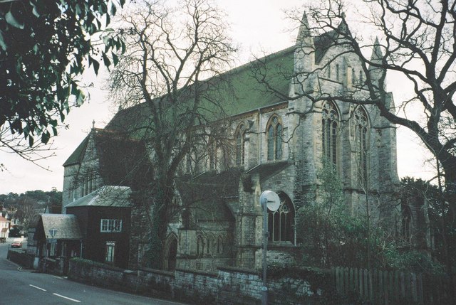
St. Peter's Church, Parkstone
St. Peter's Church is a historic Anglican church in the Parkstone area of Poole, Dorset, England. == History == The church was commenced in 1876 and completed...

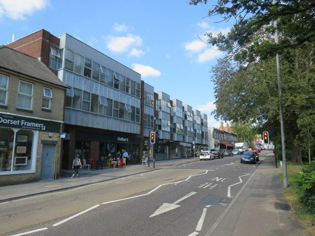
Bournemouth and Poole College
The Bournemouth and Poole College (BPC) is a well established educational provider which delivers further education, higher education and community based...

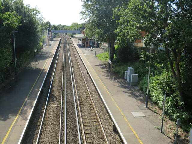
Parkstone railway station
Parkstone railway station serves the Parkstone area of Poole in Dorset, England. The platform sign formerly read Parkstone (for Sandbanks). The station...

Poole Civic Centre
Poole Civic Centre is an Art Deco municipal building in Poole, Dorset. Since 7 October 2019 the building has been a Grade II listed building. Also sometimes...
Nearby Amenities
Located within 500m of 50.729841,-1.9538856Have you been to Constitution Hill?
Leave your review of Constitution Hill below (or comments, questions and feedback).