Axe Edge

Hill, Mountain in Derbyshire High Peak

England

Axe Edge

View from the Longnor Road To "The Knights Table" inn - by the A53 Buxton/Leek road.
View from the Longnor Road Credit: Neil Theasby

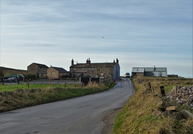
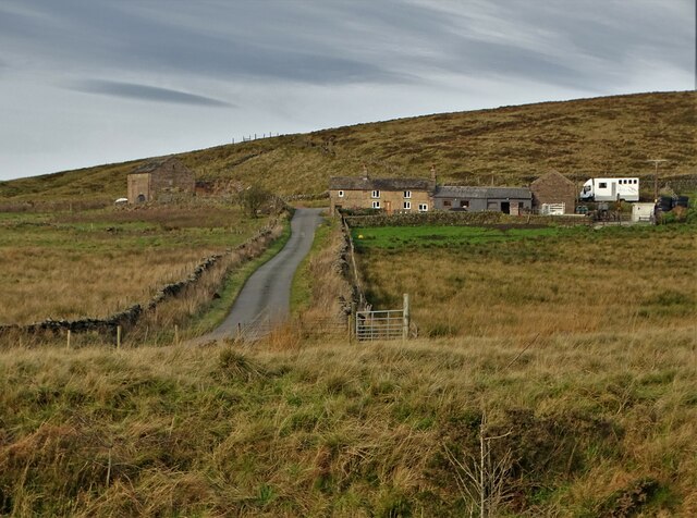
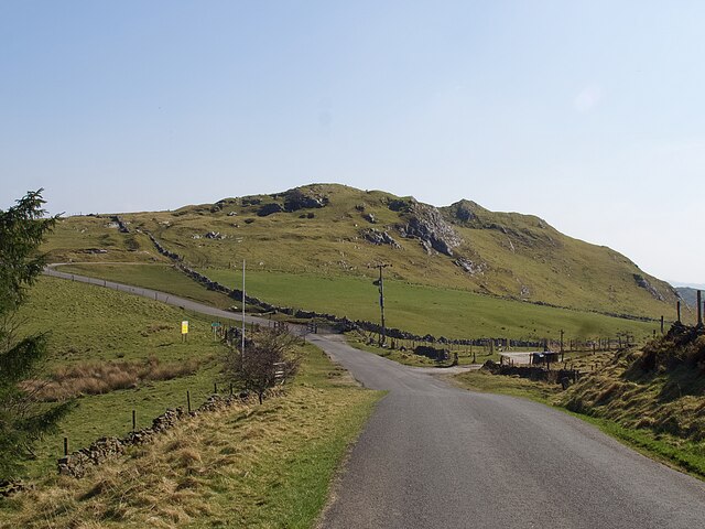
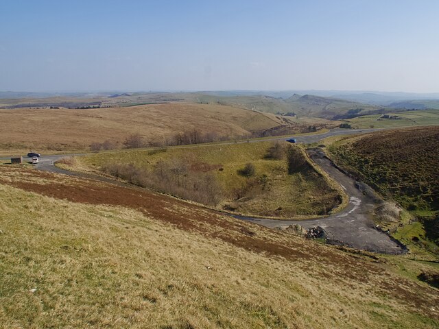
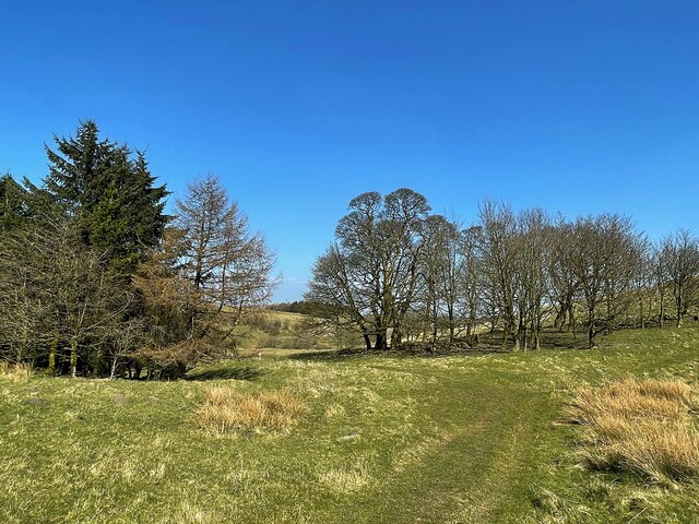
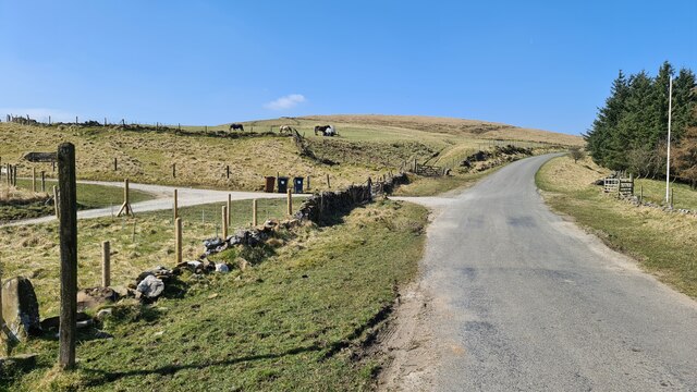
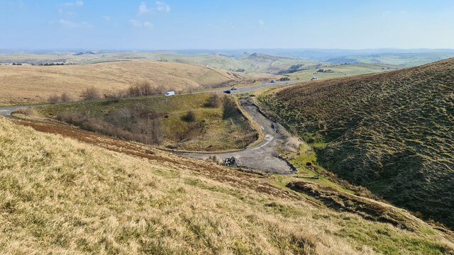
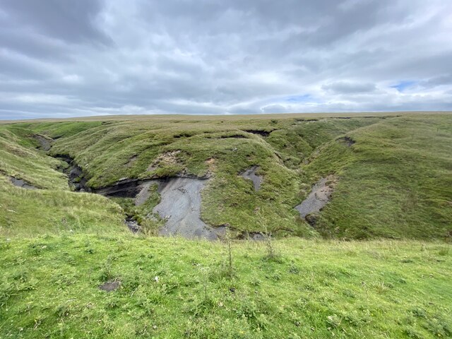
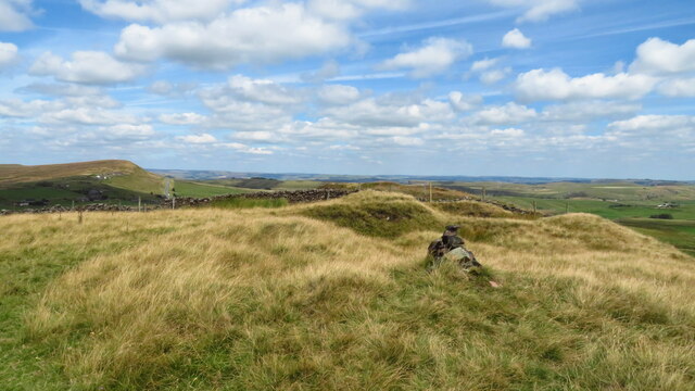
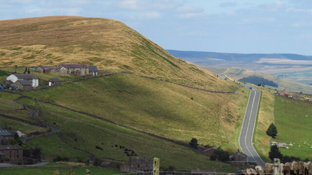
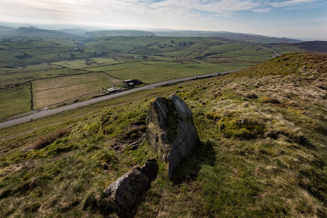
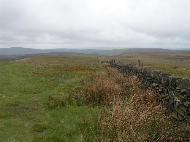
Axe Edge is a prominent hill located in the Peak District National Park, Derbyshire, England. Standing at an elevation of 550 meters (1,805 feet), it is one of the highest points in the region and offers breathtaking panoramic views of the surrounding countryside. The hill is situated on the border between Derbyshire and Staffordshire, marking the boundary between the White Peak and the Dark Peak areas of the Peak District.

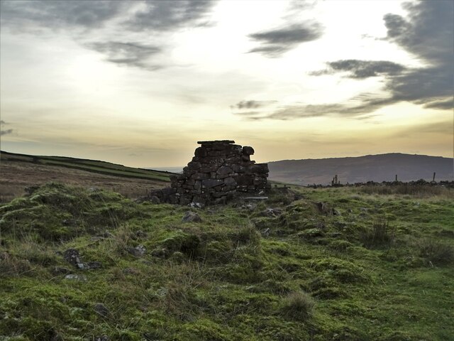
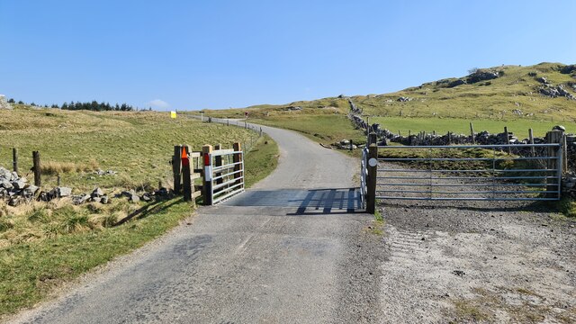
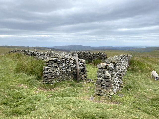
Axe Edge is formed by a ridge of gritstone, which is characteristic of the Peak District landscape. The hill is a popular destination for hikers and outdoor enthusiasts, offering a range of walking trails and scenic routes that cater to different skill levels. The highest point of Axe Edge is marked by a trig point, allowing visitors to accurately determine their location.

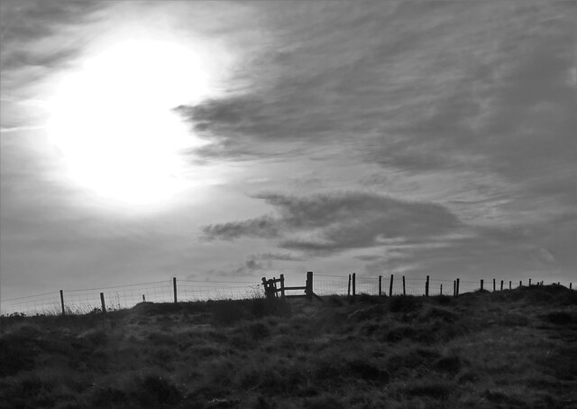
The hill is known for its unpredictable weather conditions, with strong winds and mist often shrouding the summit. Due to its exposed location, Axe Edge can experience harsh weather even when the surrounding areas are relatively calm. This makes it a challenging and exciting destination for adventurers seeking a thrilling outdoor experience.

In addition to its natural beauty, Axe Edge holds historical significance. It was once an important route for packhorse trains, which traveled across the ridge to transport goods between the neighboring towns and villages. Today, remnants of these ancient routes can still be seen, adding to the charm and heritage of the area.

Overall, Axe Edge is a stunning natural landmark that offers a unique blend of natural beauty, challenging terrain, and historical significance, making it a must-visit destination for nature lovers and history enthusiasts alike.

If you have any feedback on the listing, please let us know in the comments section below.

Axe Edge Images

Images are sourced within 2km of 53.220886/-1.9529773 or Grid Reference SK0369. Thanks to Geograph Open Source API. All images are credited.

View from the Longnor Road To "The Knights Table" inn - by the A53 Buxton/Leek road.
View from the Longnor Road
To "The Knights Table" inn - by the A53 Buxton/Leek road.
A view of Blackclough Farm
View to Readyleech Green Farm
Lonely ruin on Oliver Hill Long ago someone might have lived here but more likely it was a sheep barn.
Lonely ruin on Oliver Hill
Long ago someone might have lived here but more likely it was a sheep barn.
On the path to Oliver Hill
Blackclough & Dane Valley Way
Minor road passing Thirkelow Rocks
Overlooking the A53 Leek - Buxton Road Evidence of the road having been straightened here.
Overlooking the A53 Leek - Buxton Road
Evidence of the road having been straightened here.
Footpath through trees On moorland near Turncliffe Common
Footpath through trees
On moorland near Turncliffe Common
Road below Thirkelow Rocks
A53 below Axe Edge
A53 below Axe Edge
Farm track to Blackclough
Orchard Clough South of Axe Edge.
Orchard Clough
South of Axe Edge.
Boundary sheepfold Situated on the boundary of Derbyshire and Staffordshire.
Boundary sheepfold
Situated on the boundary of Derbyshire and Staffordshire.
Oliver Hill summit
Oliver Hill summit
A53 below Axe Edge from Oliver Hill
Axe Edge Summit Looking Down On The A53
Show me another place!

Axe Edge is located at Grid Ref: SK0369 (Lat: 53.220886, Lng: -1.9529773)

Administrative County: Derbyshire

District: High Peak

Police Authority: Derbyshire

What 3 Words

///treatment.future.fired. Near Buxton, Derbyshire

Nearby Locations

Axe Edge

Related Wikis

Nearby Amenities

Located within 500m of 53.220886,-1.9529773
Axe Edge
Ele: 549
Natural: peak
Source Ele: OS1 countours
Lat/Long: 53.2205388/-1.9529597
Barrier: stile
Material: wood
Source: survey;gps
Stile: stepover
Lat/Long: 53.2168974/-1.950181
Barrier: stile
Material: stone
Source: survey;gps
Stile: stepover
Lat/Long: 53.2175012/-1.9521779
Barrier: stile
Material: wood
Source: survey;gps
Stile: stepover
Lat/Long: 53.2194607/-1.9460994
Barrier: stile
Material: wood
Source: survey;gps
Stile: stepover
Lat/Long: 53.2195106/-1.9461602
Barrier: stile
Material: wood
Source: survey;gps
Stile: stepover
Lat/Long: 53.2213568/-1.9498502
Barrier: stile
Material: stone
Source: survey;gps
Stile: squeezer
Lat/Long: 53.2215171/-1.9473371
Barrier: stile
Material: wood
Source: survey;gps
Stile: stepover
Lat/Long: 53.2224109/-1.9461229
Five Stones
Ele: 529
Natural: peak
Lat/Long: 53.2214041/-1.9597741
The data included in this document is from www.openstreetmap.org. The data is made available under ODbL.

Have you been to Axe Edge?

Leave your review of Axe Edge below (or comments, questions and feedback).