Bruxie Hill

Hill, Mountain in Aberdeenshire

Scotland

Bruxie Hill

The derelict railway carriage at Cairnglass Farm
The derelict railway carriage at Cairnglass Farm Credit: Peter Aikman

Bruxie Hill is a prominent hill located in Aberdeenshire, Scotland. Standing at an elevation of approximately 300 meters, it is a popular destination for outdoor enthusiasts and nature lovers. The hill is part of the larger Grampian Mountains range and offers stunning panoramic views of the surrounding countryside.

Known for its rugged terrain and challenging trails, Bruxie Hill is a favorite among hikers and climbers. The hill features a variety of paths, ranging from gentle slopes to steep ascents, catering to all levels of fitness and expertise. Its rocky slopes and heather-covered moorland provide a unique and picturesque landscape.

The hill is also home to a diverse range of flora and fauna. The surrounding area is rich in wildlife, with sightings of deer, birds, and other small mammals being common. The heather-clad slopes are particularly beautiful during the summer months when the purple blooms create a vibrant and colorful display.

Bruxie Hill is easily accessible, with several entry points and parking areas nearby. It is often frequented by locals and tourists alike, who come to enjoy the tranquility and natural beauty that the hill has to offer. Visitors are advised to come prepared with appropriate footwear and clothing, as the weather conditions can be unpredictable, especially at higher altitudes.

Overall, Bruxie Hill in Aberdeenshire provides a fantastic opportunity for outdoor enthusiasts to explore the Scottish countryside, offering breathtaking views, challenging hikes, and a chance to immerse oneself in nature.

If you have any feedback on the listing, please let us know in the comments section below.
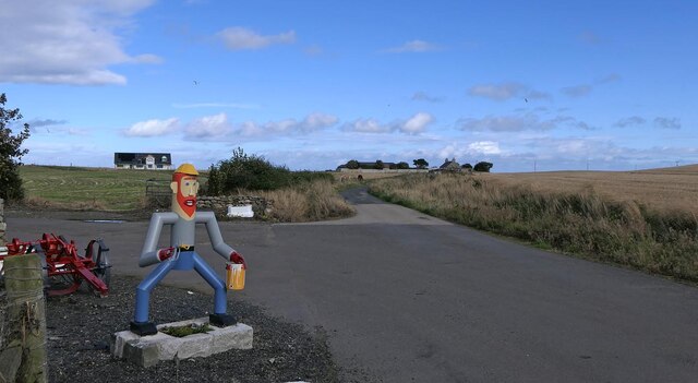
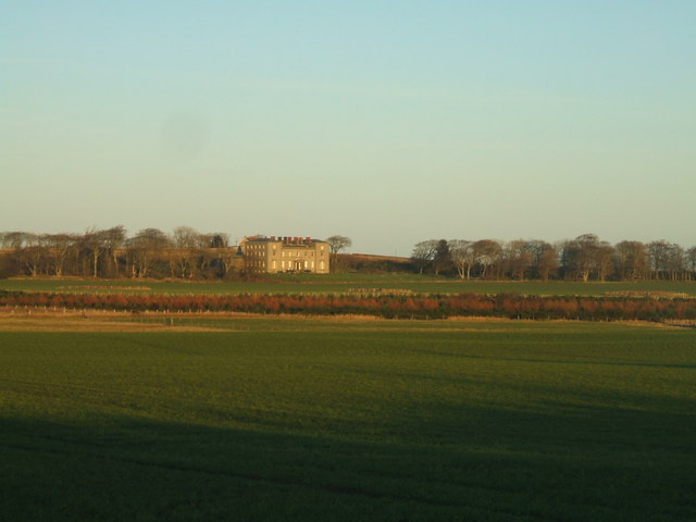
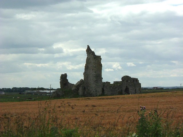
Bruxie Hill Images

Images are sourced within 2km of 57.651772/-1.948984 or Grid Reference NK0362. Thanks to Geograph Open Source API. All images are credited.

The derelict railway carriage at Cairnglass Farm
A small wind farm near Inverallochy I am no fan of (onshore) wind farms, which usually seem to despoil beautiful upland landscapes for little real benefit. But it is difficult to object to a small farm such as this, in country which, with respect, could hardly be described as 'of outstanding natural beauty'.
A small wind farm near Inverallochy
I am no fan of (onshore) wind farms, which usually seem to despoil beautiful upland landscapes for little real benefit. But it is difficult to object to a small farm such as this, in country which, with respect, could hardly be described as 'of outstanding natural beauty'.
Field at Corsekelly The farm buildings are in the next square, but the foreground field is in this square.
Field at Corsekelly
The farm buildings are in the next square, but the foreground field is in this square.
Triangulation pillar, Moat Hill, Aberdeenshire The pillar sits on top of a covered reservoir and is still in use as a passive station.
Triangulation pillar, Moat Hill, Aberdeenshire
The pillar sits on top of a covered reservoir and is still in use as a passive station.
Minor road near Hallmoss, Aberdeenshire Although the road is open to all traffic, it has not been adopted by the local authority and is privately maintained.

The figure advertises a protective coatings company which operates from buildings at the farm at Hallmoss.
Minor road near Hallmoss, Aberdeenshire
Although the road is open to all traffic, it has not been adopted by the local authority and is privately maintained. The figure advertises a protective coatings company which operates from buildings at the farm at Hallmoss.
Air Raid Shelter, RAF Fraserburgh, Aberdeenshire RAF Fraserburgh was a WWII airfield which opened in December 1941 and closed in June 1945.  The airfield was used by Aberdeen Gliding Club in the 1950s and one of the runways now houses poultry sheds.  Housing has been built on the northern edge of the airfield.

During its period of operation it was home to various operational and training squadrons.  One of the later operational squadrons to be based there was 279 Squadron, an air sea rescue unit.  Aeroplanes would meet damaged aircraft and escort them back to base.  If a damaged aeroplane couldn’t make it to land and had to ditch in the sea, a lifeboat would be dropped by its escort.  Training units included 8 Operational Training Unit which trained pilots to undertake photo reconnaissance flights.  

In 1943 the airfield was visited by a USAF B-17 bomber which crashed landed on its way back 
from a mission to Norway.

Source:  Action Stations Vol 7, David J Smith
Air Raid Shelter, RAF Fraserburgh, Aberdeenshire
RAF Fraserburgh was a WWII airfield which opened in December 1941 and closed in June 1945. The airfield was used by Aberdeen Gliding Club in the 1950s and one of the runways now houses poultry sheds. Housing has been built on the northern edge of the airfield. During its period of operation it was home to various operational and training squadrons. One of the later operational squadrons to be based there was 279 Squadron, an air sea rescue unit. Aeroplanes would meet damaged aircraft and escort them back to base. If a damaged aeroplane couldn’t make it to land and had to ditch in the sea, a lifeboat would be dropped by its escort. Training units included 8 Operational Training Unit which trained pilots to undertake photo reconnaissance flights. In 1943 the airfield was visited by a USAF B-17 bomber which crashed landed on its way back from a mission to Norway. Source: Action Stations Vol 7, David J Smith
Cairnglass near St Combs Note the old railway carriage on the right.
Cairnglass near St Combs
Note the old railway carriage on the right.
Rathen Station Buchan Line, old station buildings converted to house
Rathen Station
Buchan Line, old station buildings converted to house
Buchan Line Walkway at Concraigs disused rail line, popular with walkers + cyclists ...and also ideal for joggers and their dogs
Buchan Line Walkway at Concraigs
disused rail line, popular with walkers + cyclists ...and also ideal for joggers and their dogs
Craigellie A field with both a dry-stone dyke and a new fence near Craigellie.
Craigellie
A field with both a dry-stone dyke and a new fence near Craigellie.
Strathellie Looking towards Lower Strathellie.
Strathellie
Looking towards Lower Strathellie.
looking towards Cairness House <span class="nowrap"><a title="http://www.cairnesshouse.com/" rel="nofollow ugc noopener" href="http://www.cairnesshouse.com/">Link</a><img style="margin-left:2px;" alt="External link" title="External link - shift click to open in new window" src="https://s1.geograph.org.uk/img/external.png" width="10" height="10"/></span>
looking towards Cairness House
Church at Mosstown Still marked on current maps as a church though I think it may now be a private house.
Church at Mosstown
Still marked on current maps as a church though I think it may now be a private house.
Drainage ditch
Drainage ditch
Formartine and Buchan Way cyclepath Uses disused railway line
Formartine and Buchan Way cyclepath
Uses disused railway line
Cairnbulg Mains
Cairnbulg Mains
Hillhead The 'hill' is hardly a notable one, being a little over 25 metres above sea level, but the houses do stand on a ridge.
Hillhead
The 'hill' is hardly a notable one, being a little over 25 metres above sea level, but the houses do stand on a ridge.
Woodhead A dead tree partly screens the large barn opposite Woodhead. The sky is obscured by a typical east coast haar which is creeping back inland after being held off by the sun during the heat of the day.
Woodhead
A dead tree partly screens the large barn opposite Woodhead. The sky is obscured by a typical east coast haar which is creeping back inland after being held off by the sun during the heat of the day.
Show me another place!

Bruxie Hill is located at Grid Ref: NK0362 (Lat: 57.651772, Lng: -1.948984)

Unitary Authority: Aberdeenshire

Police Authority: North East

What 3 Words

///curls.bidder.tables. Near Fraserburgh, Aberdeenshire

Nearby Locations

Bruxie Hill Fairy Hillock

Related Wikis

Nearby Amenities

Located within 500m of 57.651772,-1.948984
Power: pole
Lat/Long: 57.6562309/-1.9500158
Power: pole
Lat/Long: 57.6555775/-1.9492619
Power: pole
Lat/Long: 57.6549362/-1.9486795
Power: pole
Lat/Long: 57.6542732/-1.9480767
Power: pole
Lat/Long: 57.6535811/-1.947474
Power: pole
Lat/Long: 57.653596/-1.9517255
Power: pole
Lat/Long: 57.6533402/-1.9512867
Power: pole
Lat/Long: 57.6530201/-1.9507416
Power: pole
Lat/Long: 57.6527106/-1.9502025
Power: pole
Lat/Long: 57.6523484/-1.9496003
Power: pole
Lat/Long: 57.6520789/-1.9483095
Power: pole
Lat/Long: 57.6519957/-1.9472588
Power: pole
Lat/Long: 57.6519736/-1.9460683
Power: pole
Lat/Long: 57.6519747/-1.9451494
Power: pole
Lat/Long: 57.6519641/-1.9441183
Power: pole
Lat/Long: 57.6519652/-1.9425875
Power: pole
Lat/Long: 57.6488192/-1.9446693
Power: pole
Lat/Long: 57.648777/-1.9461136
Power: pole
Lat/Long: 57.6487523/-1.947429
Power: pole
Lat/Long: 57.6487276/-1.9487444
Power: pole
Lat/Long: 57.6486965/-1.9501365
Power: pole
Lat/Long: 57.6491787/-1.9512581
Power: pole
Lat/Long: 57.6496494/-1.9522125
Power: pole
Lat/Long: 57.648349/-1.9438143
Power: pole
Lat/Long: 57.6473624/-1.9501287
Power: pole
Lat/Long: 57.6480037/-1.949802
Power: pole
Lat/Long: 57.6483848/-1.949253
Power: pole
Lat/Long: 57.6555433/-1.9478685
Power: pole
Lat/Long: 57.6555275/-1.9464791
Power: pole
Lat/Long: 57.6554902/-1.9451648
The data included in this document is from www.openstreetmap.org. The data is made available under ODbL.

Have you been to Bruxie Hill?

Leave your review of Bruxie Hill below (or comments, questions and feedback).