Moor Top

Hill, Mountain in Staffordshire Staffordshire Moorlands

England

Moor Top

Onecote, sheep grazing On the ridge above Bradnop.
Onecote, sheep grazing Credit: Mike Faherty

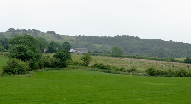
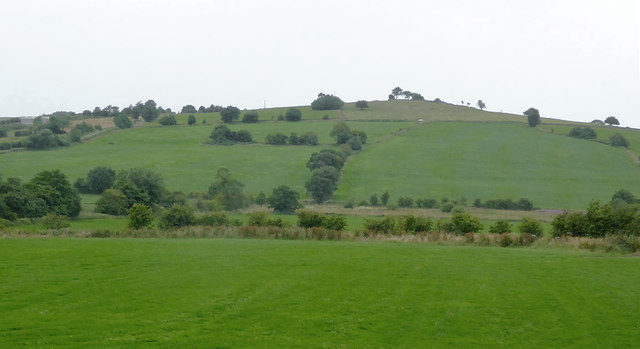
Moor Top is a picturesque hill located in the county of Staffordshire, England. Situated in the Staffordshire Moorlands district, it is part of the stunning Peak District National Park. Rising to an elevation of approximately 410 meters (1,345 feet), Moor Top is a prominent landmark in the area.

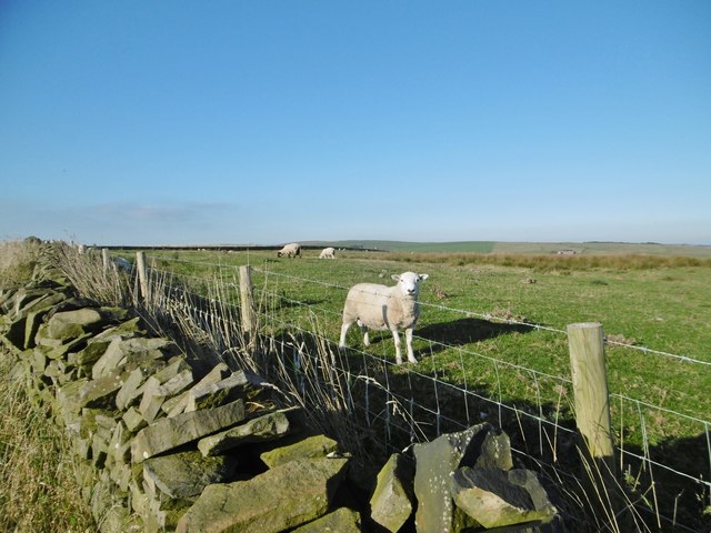
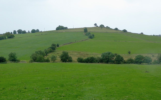
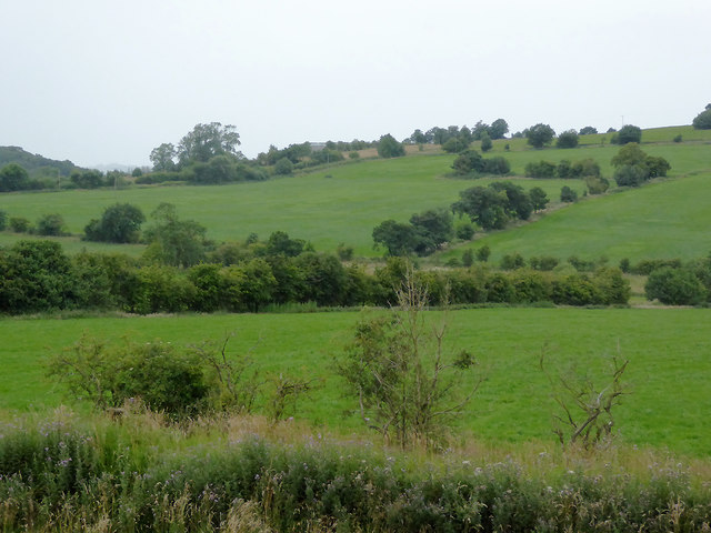
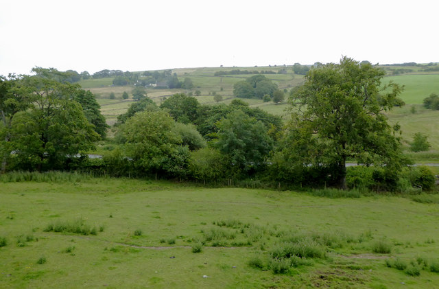
The hill is characterized by its rugged and rocky terrain, covered in heather and grasses. It offers breathtaking panoramic views of the surrounding countryside, including the rolling hills and valleys that stretch as far as the eye can see. On a clear day, one can even catch a glimpse of the distant cities of Stoke-on-Trent and Manchester.

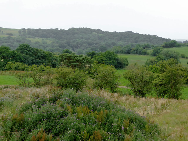
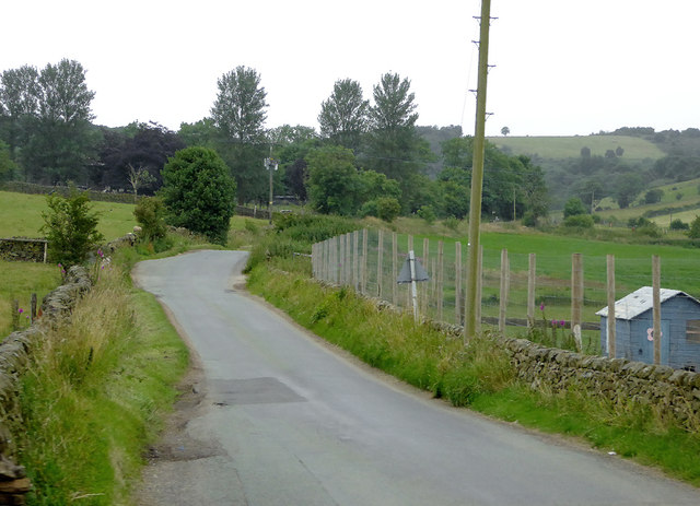
Moor Top is a popular destination for outdoor enthusiasts and nature lovers alike. It is a haven for hikers and walkers, who can explore the numerous trails and footpaths that traverse the hill. The area is also home to abundant wildlife, including birds of prey, deer, and various species of flora and fauna.

For those seeking a more challenging adventure, Moor Top is a fantastic spot for paragliding and hang gliding. The vast open spaces and favorable wind conditions make it an ideal location for these exhilarating aerial sports.

In addition to its natural beauty, Moor Top also has historical significance. It is believed that the hill was once used as a lookout point during the Roman occupation of Britain. Furthermore, there are remnants of ancient settlements and burial mounds in the vicinity, adding to the area's archaeological importance.

Overall, Moor Top is a stunning hill in Staffordshire, offering breathtaking views, outdoor recreation opportunities, and a glimpse into the region's rich history.

If you have any feedback on the listing, please let us know in the comments section below.
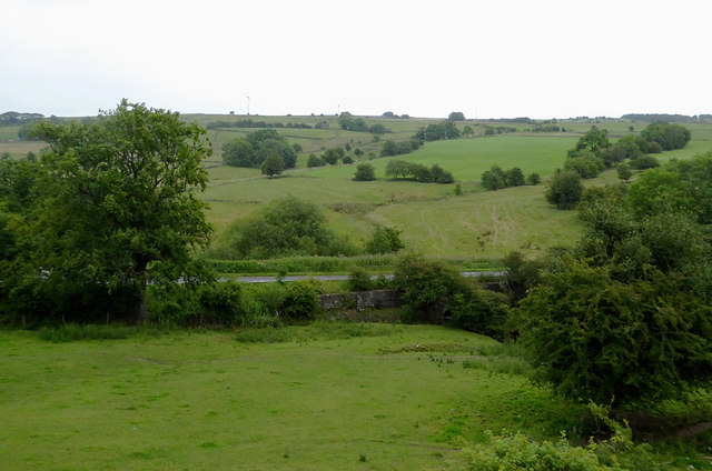
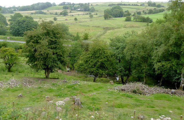
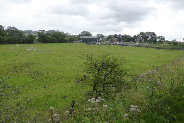
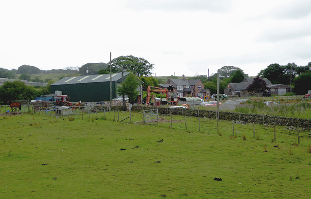
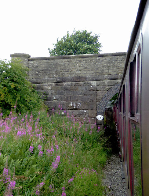
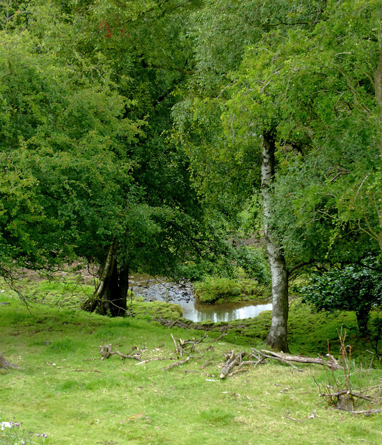
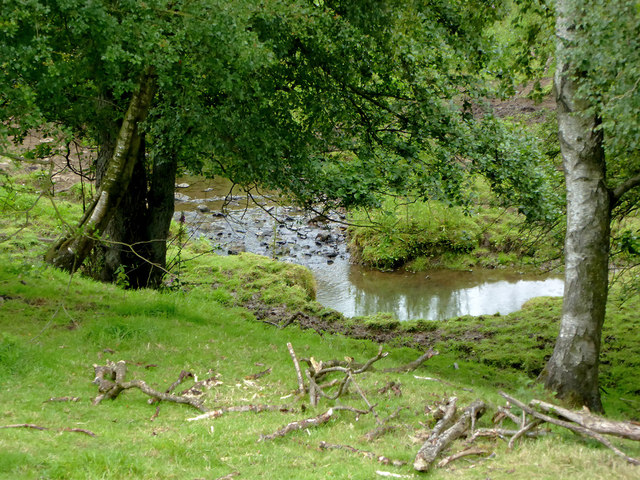
Moor Top Images

Images are sourced within 2km of 53.094926/-1.9571908 or Grid Reference SK0255. Thanks to Geograph Open Source API. All images are credited.

Onecote, sheep grazing On the ridge above Bradnop.
Onecote, sheep grazing
On the ridge above Bradnop.
The Stable at Harvey Gate
Pasture south-east of Leek, Staffordshire Seen from a passing train on the Churnet Valley Railway, looking south-west from near Longshaw Farm.
Pasture south-east of Leek, Staffordshire
Seen from a passing train on the Churnet Valley Railway, looking south-west from near Longshaw Farm.
Pasture south-east of Leek, Staffordshire Seen from a passing train on the Churnet Valley Railway, looking south-west from near Longshaw Farm.
Pasture south-east of Leek, Staffordshire
Seen from a passing train on the Churnet Valley Railway, looking south-west from near Longshaw Farm.
Farmland and woodland south-east of Leek, Staffordshire Seen from a passing train on the Churnet Valley Railway.
Farmland and woodland south-east of Leek, Staffordshire
Seen from a passing train on the Churnet Valley Railway.
Farmland south-east of Leek, Staffordshire Seen from a passing train on the Churnet Valley Railway, looking towards Apesford Farm.
Farmland south-east of Leek, Staffordshire
Seen from a passing train on the Churnet Valley Railway, looking towards Apesford Farm.
Farmland south-east of Leek, Staffordshire Seen from a passing train on the Churnet Valley Railway, looking towards Revedge  Farm.
Farmland south-east of Leek, Staffordshire
Seen from a passing train on the Churnet Valley Railway, looking towards Revedge Farm.
Lane to Cheddleton, Staffordshire Looking south-west from the level crossing over the Churnet Valley Railway.
Lane to Cheddleton, Staffordshire
Looking south-west from the level crossing over the Churnet Valley Railway.
Staffordshire farmland south-east of Leek The pasture and A523 road at Cook's Hollow are seen here from a passing railway train.
Staffordshire farmland south-east of Leek
The pasture and A523 road at Cook's Hollow are seen here from a passing railway train.
Staffordshire farmland south-east of Leek The pasture and A523 road at Cook's Hollow are seen here from a passing railway train.
Staffordshire farmland south-east of Leek
The pasture and A523 road at Cook's Hollow are seen here from a passing railway train.
Staffordshire farmland south-east of Leek The pasture and A523 road at Cook's Hollow are seen here from a passing railway train.
Staffordshire farmland south-east of Leek
The pasture and A523 road at Cook's Hollow are seen here from a passing railway train.
Pasture south-east of Leek, Staffordshire Land by Woodleigh Farm is seen here from a passing railway train.
Pasture south-east of Leek, Staffordshire
Land by Woodleigh Farm is seen here from a passing railway train.
Pasture and farm south-east of Leek, Staffordshire Woodleigh Farm is seen here from a passing railway train.
Pasture and farm south-east of Leek, Staffordshire
Woodleigh Farm is seen here from a passing railway train.
Woodleigh Farm Bridge near Bradnop, Staffordshire This is a farmer's accommodation bridge across the (now) Churnet Valley Railway, looking north-west towards Leekbrook.
Woodleigh Farm Bridge near Bradnop, Staffordshire
This is a farmer's accommodation bridge across the (now) Churnet Valley Railway, looking north-west towards Leekbrook.
Farm buildings south-east of Bradnop, Staffordshire Buildings around Woodleigh Farm seen from a passing railway train.
Farm buildings south-east of Bradnop, Staffordshire
Buildings around Woodleigh Farm seen from a passing railway train.
Grazing near Bradnop, Staffordshire The buildings around Woodleigh Farm are seen here from a passing railway train.
Grazing near Bradnop, Staffordshire
The buildings around Woodleigh Farm are seen here from a passing railway train.
Combes Brook south-east of Bradnop, Staffordshire Seen from a waiting train, this is Combes Brook between the railway and the A523 Leek to Ashbourne road. It is carried under the railway through a culvert.
Combes Brook south-east of Bradnop, Staffordshire
Seen from a waiting train, this is Combes Brook between the railway and the A523 Leek to Ashbourne road. It is carried under the railway through a culvert.
Show me another place!

Moor Top is located at Grid Ref: SK0255 (Lat: 53.094926, Lng: -1.9571908)

Administrative County: Staffordshire

District: Staffordshire Moorlands

Police Authority: Staffordshire

What 3 Words

///logs.paddocks.prance. Near Leek, Staffordshire

Nearby Locations

Moor Top Will's Wood

Related Wikis

Morridge

Morridge is a geographical feature, a few mile east of Leek, in Staffordshire, England. It is in the local government district of Staffordshire Moorlands...

Bradnop

Bradnop is a village in Staffordshire, England, located just a few miles to the southeast of the market town of Leek. The name Bradnop was first recorded...

Bradnop railway station

Bradnop railway station was a railway station that served the village of Bradnop, Staffordshire. It was opened by the North Staffordshire Railway (NSR...

Onecote

Onecote is a village and civil parish on the B5053 road, near Leek, in the Staffordshire Moorlands district, in the county of Staffordshire, England. The...

Nearby Amenities

Located within 500m of 53.094926,-1.9571908
Barrier: stile
Material: stone
Source: survey;gps
Stile: stepover
Lat/Long: 53.0922315/-1.9529473
Barrier: stile
Material: stone
Source: survey;gps
Stile: squeezer
Lat/Long: 53.0922407/-1.9529626
Barrier: stile
Material: wood
Source: survey;gps
Stile: stepover
Lat/Long: 53.0923298/-1.9517929
Barrier: stile
Material: stone
Source: survey;gps
Stile: squeezer
Lat/Long: 53.093441/-1.9553519
Barrier: stile
Material: wood
Source: survey;gps
Stile: stepover
Lat/Long: 53.093443/-1.9553465
The data included in this document is from www.openstreetmap.org. The data is made available under ODbL.

Have you been to Moor Top?

Leave your review of Moor Top below (or comments, questions and feedback).