Brund Hill

Hill, Mountain in Staffordshire Staffordshire Moorlands

England

Brund Hill

Heading north towards the A53 On the moorland road over Middle Hills.
Heading north towards the A53 Credit: John H Darch

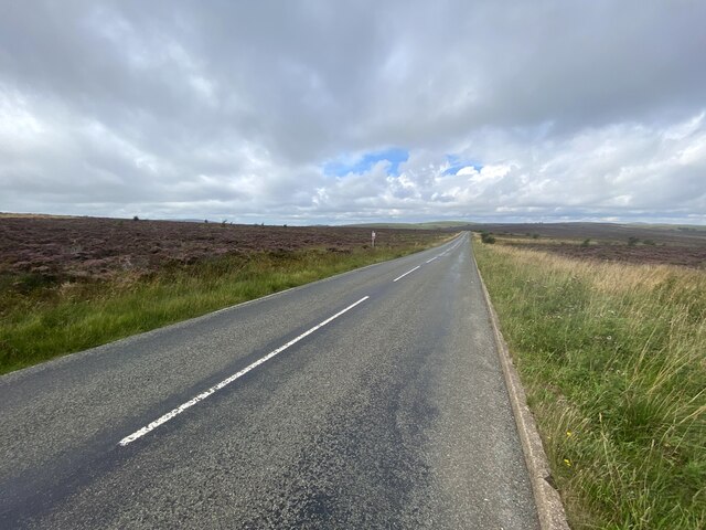
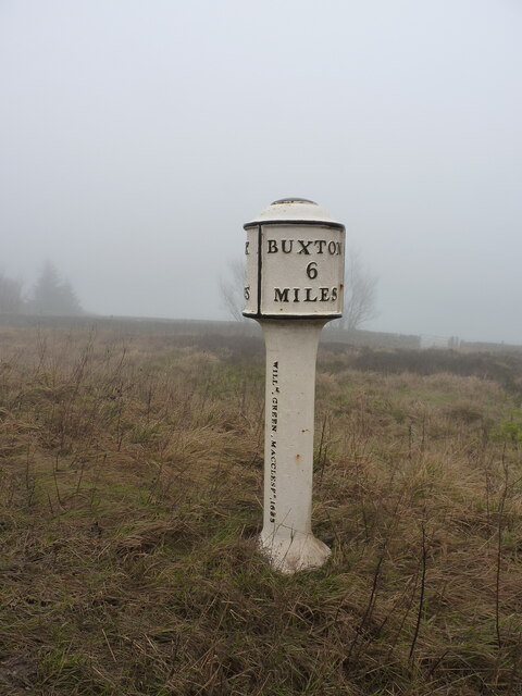
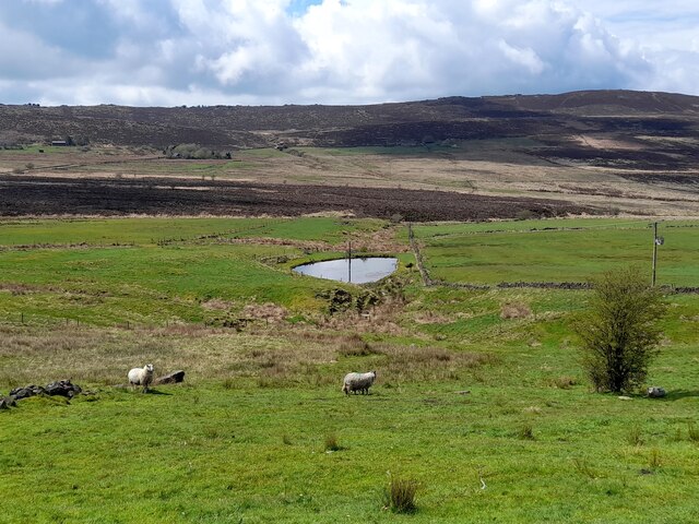
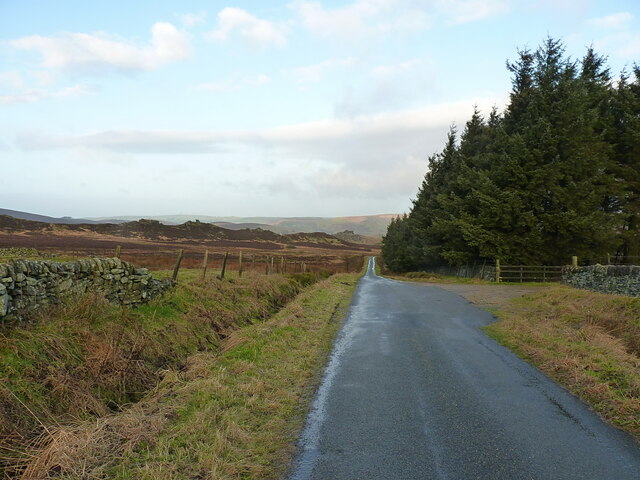
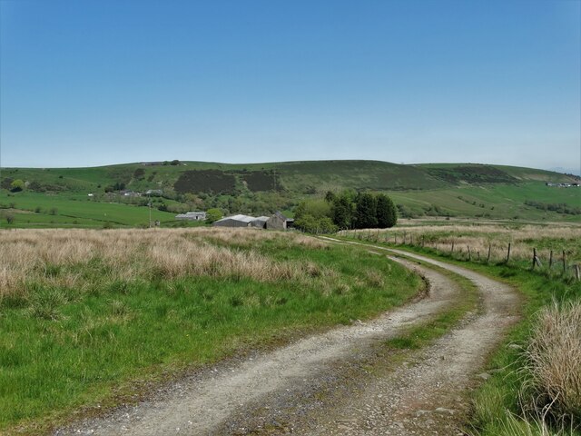
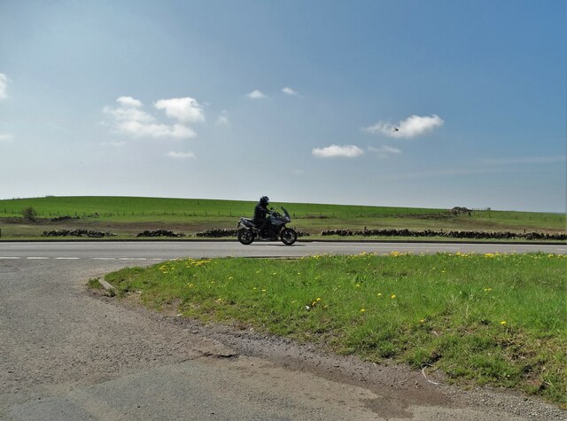
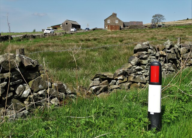
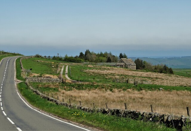
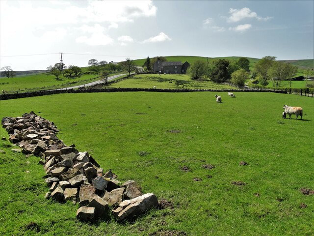
Brund Hill is a prominent hill located in the county of Staffordshire, England. It is situated near the village of Brund, which lies approximately 6 miles north of the town of Leek. The hill is known for its picturesque landscape and stunning panoramic views of the surrounding countryside.

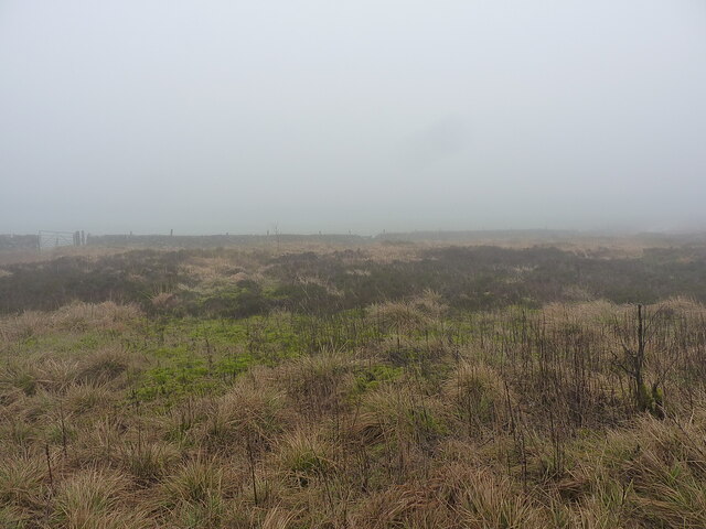
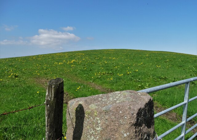
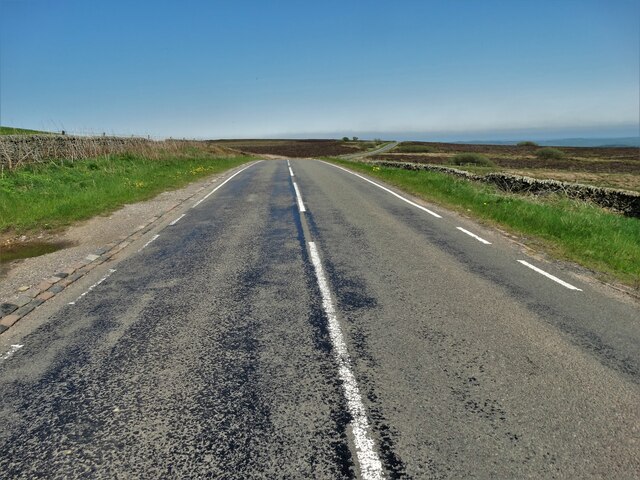
With an elevation of approximately 1,200 feet (366 meters), Brund Hill stands as one of the highest points in Staffordshire, offering visitors a unique opportunity to admire the beauty of the region. The hill is easily accessible and can be reached via a well-maintained footpath that winds its way through the rolling hills and lush green fields.

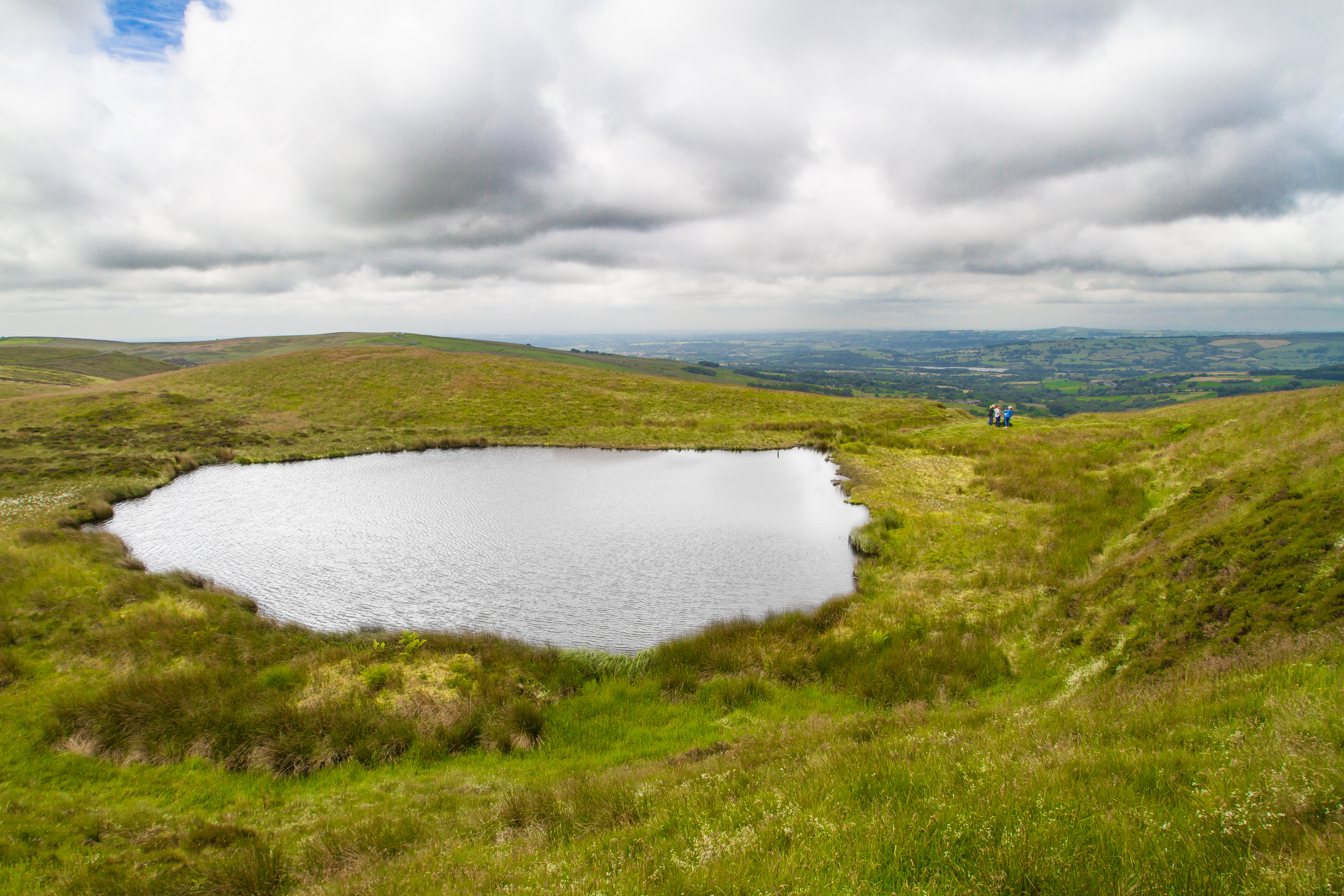
At the summit of Brund Hill, there is a trig point, which serves as a navigational marker for walkers and hikers. From this vantage point, visitors can marvel at the breathtaking vistas that stretch across the Staffordshire Moorlands, with glimpses of the Peak District National Park in the distance.

The hill is also renowned for its rich history, as archaeological evidence suggests that it has been inhabited since Neolithic times. Excavations have revealed the presence of ancient burial mounds and other prehistoric remains, indicating the hill's significance as a place of settlement and ritual activity in the past.

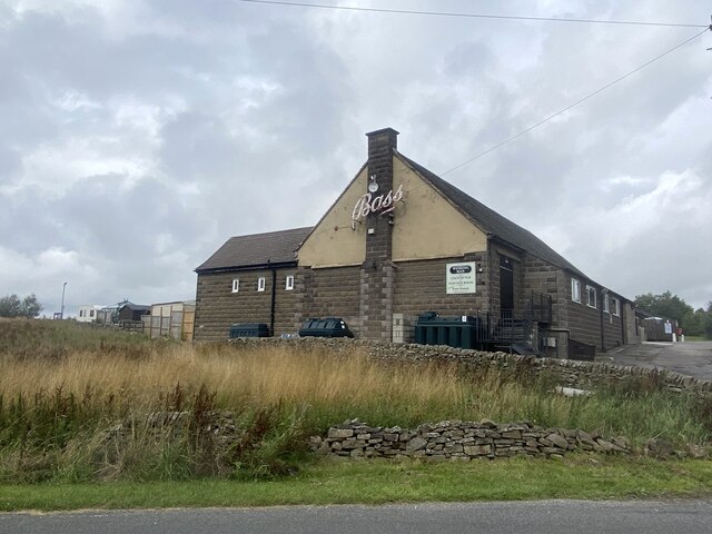
Today, Brund Hill continues to attract outdoor enthusiasts and nature lovers who seek to explore its scenic trails and immerse themselves in the tranquility of the Staffordshire countryside. Whether it is for a leisurely stroll or a more challenging hike, Brund Hill offers an unforgettable experience for those who venture to its summit.

If you have any feedback on the listing, please let us know in the comments section below.

Brund Hill Images

Images are sourced within 2km of 53.179045/-1.9588133 or Grid Reference SK0264. Thanks to Geograph Open Source API. All images are credited.

Heading north towards the A53 On the moorland road over Middle Hills.
Heading north towards the A53
On the moorland road over Middle Hills.
Rear view of the Winking Man At 1450' one of the ten highest pubs in England.
Rear view of the Winking Man
At 1450' one of the ten highest pubs in England.
Straight road near Little Hillend and Green Gutter Head A view of the road as it passes the entrance to Little Hillend (opposite the footpath fingerpost ahead) and heads in the direction of Flash.
Straight road near Little Hillend and Green Gutter Head
A view of the road as it passes the entrance to Little Hillend (opposite the footpath fingerpost ahead) and heads in the direction of Flash.
Valley beside New Road Looking along the course of the stream towards Flash Bottom.
Valley beside New Road
Looking along the course of the stream towards Flash Bottom.
A bleak morning at Morridge Top Driving along the road that particular morning wasn't much more attractive than this view - pretty much wall-to-wall cloud.
A bleak morning at Morridge Top
Driving along the road that particular morning wasn't much more attractive than this view - pretty much wall-to-wall cloud.
Morridge Top (Heathylee) milepost Dating originally from the late 19th century, and Grade II listed <span class="nowrap"><a title="https://britishlistedbuildings.co.uk/101190449-milepost-leek-6-miles-heathylee#.Y9bXlXbP3IU" rel="nofollow ugc noopener" href="https://britishlistedbuildings.co.uk/101190449-milepost-leek-6-miles-heathylee#.Y9bXlXbP3IU">Link</a><img style="margin-left:2px;" alt="External link" title="External link - shift click to open in new window" src="https://s1.geograph.org.uk/img/external.png" width="10" height="10"/></span> & <span class="nowrap"><a title="https://historicengland.org.uk/listing/the-list/list-entry/1190449" rel="nofollow ugc noopener" href="https://historicengland.org.uk/listing/the-list/list-entry/1190449">Link</a><img style="margin-left:2px;" alt="External link" title="External link - shift click to open in new window" src="https://s1.geograph.org.uk/img/external.png" width="10" height="10"/></span> in 1985. It went 'walkabout' sometime after that (stolen, basically...) before being rediscovered for sale on an internet auction site and was restored to its rightful location in mid 2017 <a href="https://www.geograph.org.uk/photo/5436708">SK0365 : Old Milepost by the A53, Morridge Top</a>
Morridge Top (Heathylee) milepost
Dating originally from the late 19th century, and Grade II listed LinkExternal link & LinkExternal link in 1985. It went 'walkabout' sometime after that (stolen, basically...) before being rediscovered for sale on an internet auction site and was restored to its rightful location in mid 2017 SK0365 : Old Milepost by the A53, Morridge Top
Pond below Hazel Barrow Farm
Farm bridge over a tributary of Black Brook
Footbridge over a tributary of Black Brook
Along the road towards Adders Green and Gib Tor A very similar view to that in <a href="https://www.geograph.org.uk/photo/5083781">SK0264 : Minor road below Brund Hill</a>, taken from a little further back towards the A53.
Along the road towards Adders Green and Gib Tor
A very similar view to that in SK0264 : Minor road below Brund Hill, taken from a little further back towards the A53.
The track to Smallshaw Farm
"The Barn" - house by Wickenlow Lane Once a field barn but converted to a house in 1984.
"The Barn" - house by Wickenlow Lane
Once a field barn but converted to a house in 1984.
Biker on the A53 Buxton-Leek road
View to a former wayside tavern on the A53 The pub in question was "The Royal Cottage"
View to a former wayside tavern on the A53
The pub in question was "The Royal Cottage"
Gateway and view of Bareleg Hill From Leek Road near Royal Cottage
Gateway and view of Bareleg Hill
From Leek Road near Royal Cottage
Leek Road by Bareleg Hill
Approaching Ridge Head by Leek Road
View to Merril Grove Farm
Show me another place!

Brund Hill is located at Grid Ref: SK0264 (Lat: 53.179045, Lng: -1.9588133)

Administrative County: Staffordshire

District: Staffordshire Moorlands

Police Authority: Staffordshire

What 3 Words

///quietest.finely.signature. Near Buxton, Derbyshire

Nearby Locations

Brund Hill

Related Wikis

Heathylee

Heathylee is a civil parish in the district of Staffordshire Moorlands in north-east Staffordshire, England. There is no village centre. The parish has...

Black Brook Nature Reserve

Black Brook is a nature reserve of the Staffordshire Wildlife Trust, about 7 miles (11 km) north-east of Leek, in Staffordshire, England. It is moorland...

Flash, Staffordshire

Flash is a village in the Staffordshire Moorlands, England, and Peak District National Park. At 1,519 feet (463 m) above sea level, it is the highest village...

Quarnford

Quarnford is a village and civil parish in the Staffordshire Moorlands district of Staffordshire, England. According to the 2001 census it had a population...

The Roaches

The Roaches (from the French les roches - the rocks) is a prominent rocky ridge above Leek and Tittesworth Reservoir in the Staffordshire Peak District...

Oliver Hill (Peak District)

Oliver Hill is a hill, 513 metres (1,683 ft) high, in the Peak District in the county of Staffordshire in England. It is a treeless summit surrounded by...

Blakemere Pond

Blakemere Pond, also known as Black Mere Pool or Mermaid's Pond, is a small, natural lake in Staffordshire, England, six miles north-west of Leek. The...

Merryton Low

Merryton Low is a hill in Staffordshire, England, a few miles east of Leek. It is in the civil parish of Fawfieldhead in the local government district...

Nearby Amenities

Located within 500m of 53.179045,-1.9588133
Parking
Description: Patch of gravel
Ele: 458.9114990
Parking: lane
Lat/Long: 53.1820118/-1.9552301
The data included in this document is from www.openstreetmap.org. The data is made available under ODbL.

Have you been to Brund Hill?

Leave your review of Brund Hill below (or comments, questions and feedback).