Black Hill

Hill, Mountain in Yorkshire Richmondshire

England

Black Hill

Field barn east of Skelgate Lane Skelgate Lane climbs from the western side of Reeth towards Calver Hill.
Arkengarthdale is beyond the barn with Fremington Edge rising from that valley.
Field barn east of Skelgate Lane Credit: Trevor Littlewood

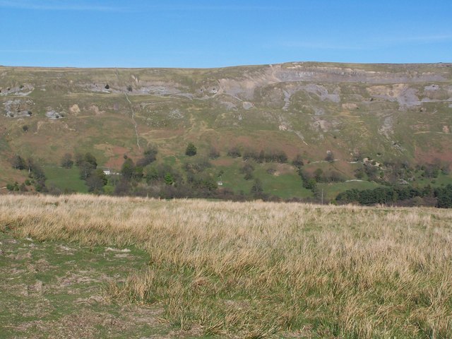
Black Hill is a prominent hill located in the county of Yorkshire, England. Standing at an elevation of 582 meters (1,909 feet), it is part of the Pennine range and is situated in the South Pennines area of the county. The hill is known for its rugged beauty and offers breathtaking panoramic views of the surrounding countryside.

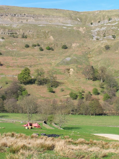
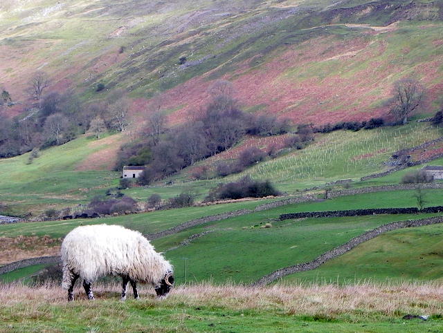
Black Hill is characterized by its wild and windswept moorland, covered in heather and grasses that provide a habitat for various species of birds, including curlews and golden plovers. The hill is also home to a diverse range of flora and fauna, with areas of woodland interspersed with open areas of peat bog. The hill is a popular destination for hikers and nature enthusiasts, as it offers a variety of walking trails and paths that cater to all levels of ability.

At the summit of Black Hill, there is a trig point that marks the highest point of the hill. It is a popular spot for visitors to take in the stunning views across the surrounding countryside, which includes the neighboring peak of Bleaklow and the picturesque valleys of the Peak District National Park.

Black Hill has a rich history, with evidence of human activity in the area dating back thousands of years. The hill is dotted with prehistoric burial sites and ancient settlements, providing a glimpse into the region's past. Today, Black Hill continues to be a place of natural beauty and historical significance, attracting visitors from near and far.

If you have any feedback on the listing, please let us know in the comments section below.
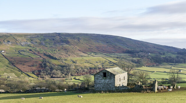
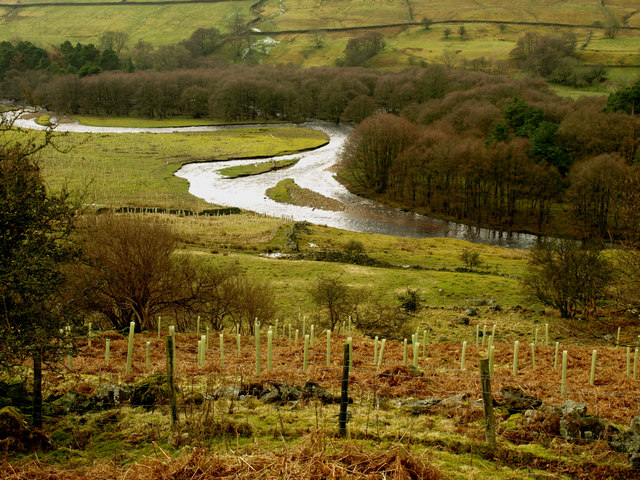
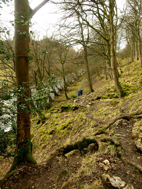
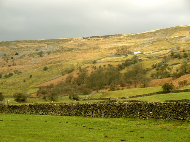
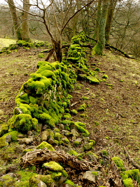
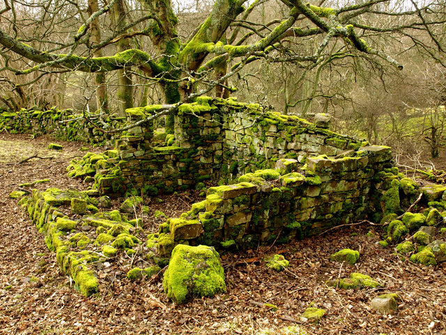
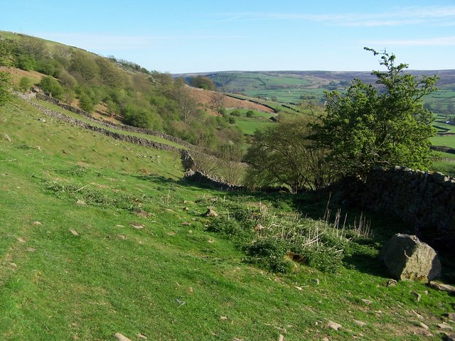
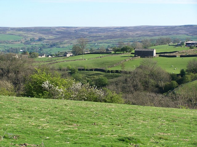
Black Hill Images

Images are sourced within 2km of 54.395558/-1.9589673 or Grid Reference NZ0200. Thanks to Geograph Open Source API. All images are credited.

Field barn east of Skelgate Lane Skelgate Lane climbs from the western side of Reeth towards Calver Hill.
Arkengarthdale is beyond the barn with Fremington Edge rising from that valley.
Field barn east of Skelgate Lane
Skelgate Lane climbs from the western side of Reeth towards Calver Hill. Arkengarthdale is beyond the barn with Fremington Edge rising from that valley.
Fremington Edge as dusk approaches Three walkers along Fremington Edge about to make the descent to Arkengarthdale and Reeth which lie below to the right.
Fremington Edge as dusk approaches
Three walkers along Fremington Edge about to make the descent to Arkengarthdale and Reeth which lie below to the right.
Heather on hill slope above Healaugh in Swaledale The slope rises from Swaledale past the village of Healaugh to Calver Hill.
The main valley of the River Swale extends to the west passing to the right of the central hill, which is Blea Barf.
Heather on hill slope above Healaugh in Swaledale
The slope rises from Swaledale past the village of Healaugh to Calver Hill. The main valley of the River Swale extends to the west passing to the right of the central hill, which is Blea Barf.
Path and wall rising towards summit of Calver Hill The path continues to the hill summit which is ahead to the right, a cairn can just be discerned there. The wall is unusual: it's simply a linear feature beginning at the camera location and ending close to the centre of the image. As it is now there seems to be no real structure to it making it just an elongated pile of stones!
Path and wall rising towards summit of Calver Hill
The path continues to the hill summit which is ahead to the right, a cairn can just be discerned there. The wall is unusual: it's simply a linear feature beginning at the camera location and ending close to the centre of the image. As it is now there seems to be no real structure to it making it just an elongated pile of stones!
Arkle Beck Taken from the Langthwaite to Reeth bridleway.  It seems far more like a river than a beck!
Arkle Beck
Taken from the Langthwaite to Reeth bridleway. It seems far more like a river than a beck!
Castle Farm House Taken from the Langthwaite to Reeth bridleway.
Castle Farm House
Taken from the Langthwaite to Reeth bridleway.
Bridleway next to Arkle Beck
White House from east of Reeth
Mossy Wall
Mossy Wall
Moss-covered Ruin
Moss-covered Ruin
Footpath below Fremington Edge
View across the Arkle Beck
Calver Hill
Calver Hill
View towards Fremington Edge
View from West Raw Croft Farm
View towards Fremington Edge Viewed from footpath on the southwestern side of the valley.
View towards Fremington Edge
Viewed from footpath on the southwestern side of the valley.
Swaledale ewe, Reeth The ewe grazes on the rough hill grasses.
Swaledale ewe, Reeth
The ewe grazes on the rough hill grasses.
Sheep grazing near Reeth Swaledale sheep graze the rough grasses above the valley.
Sheep grazing near Reeth
Swaledale sheep graze the rough grasses above the valley.
Show me another place!

Black Hill is located at Grid Ref: NZ0200 (Lat: 54.395558, Lng: -1.9589673)

Division: North Riding

Administrative County: North Yorkshire

District: Richmondshire

Police Authority: North Yorkshire

What 3 Words

///sues.evolution.pages. Near Barningham, Co. Durham

Nearby Locations

Black Hill

Related Wikis

Reeth, Fremington and Healaugh

Reeth, Fremington and Healaugh is a civil parish in North Yorkshire, England. It consists of the three villages of Reeth, Fremington and Healaugh. As of...

Calver Hill

Calver Hill is a fell in the Yorkshire Dales National Park in North Yorkshire, England. It is composed of limestone and is situated at grid reference NZ012003...

Swaledale Museum

Swaledale Museum is a local museum in the village of Reeth, near Richmond in North Yorkshire, England. It covers rural history including life and work...

Healaugh, Richmondshire

Healaugh (pronounced "hee-law") is a small village in the civil parish of Reeth, Fremington and Healaugh, in Swaledale in the Yorkshire Dales. It is in...

Reeth

Reeth is a village 11 miles (18 km) west of Richmond in North Yorkshire, England, in the civil parish of Reeth, Fremington and Healaugh. Historically part...

Fremington Edge

Fremington Edge is a 3-mile (5 km) long wall of crags and scree slopes that is situated to the north of the village of Reeth in Swaledale in the Yorkshire...

Maiden Castle, North Yorkshire

Maiden Castle is a settlement in Grinton, North Yorkshire (grid reference SE02189808) which probably dates from the Iron Age. It is listed as a Scheduled...

Arkle Beck

Arkle Beck is the stream running through the valley of Arkengarthdale in the Yorkshire Dales, England. It is a tributary of the River Swale, which it joins...

Nearby Amenities

Located within 500m of 54.395558,-1.9589673
Man Made: cairn
Lat/Long: 54.393579/-1.957741
Access: yes
Barrier: entrance
Lat/Long: 54.3988397/-1.9550171
Access: yes
Barrier: entrance
Lat/Long: 54.3978992/-1.9540966
Hunting Stand
Hunting Stand: grouse_butt
Lat/Long: 54.3971037/-1.9649146
Hunting Stand
Hunting Stand: grouse_butt
Lat/Long: 54.3973937/-1.9642939
Hunting Stand
Hunting Stand: grouse_butt
Lat/Long: 54.3968237/-1.9655017
Hunting Stand
Hunting Stand: grouse_butt
Lat/Long: 54.3965578/-1.9660325
Hunting Stand
Hunting Stand: grouse_butt
Lat/Long: 54.3963617/-1.9664407
Hunting Stand
Hunting Stand: grouse_butt
Lat/Long: 54.3976603/-1.9637668
Hunting Stand
Hunting Stand: grouse_butt
Lat/Long: 54.3979217/-1.9632357
The data included in this document is from www.openstreetmap.org. The data is made available under ODbL.

Have you been to Black Hill?

Leave your review of Black Hill below (or comments, questions and feedback).