Clark's Hill
Hill, Mountain in Worcestershire Wychavon
England
Clark's Hill
Clark's Hill, located in Worcestershire, England, is an impressive geographical feature known for its natural beauty and historical significance. Standing at an elevation of approximately 248 meters, it is classified as a hill rather than a mountain. The hill is situated near the village of Abberley and is part of the Abberley Hills, which form a prominent part of the Worcestershire countryside.
Clark's Hill offers breathtaking panoramic views of the surrounding landscape, including the rolling hills, lush green valleys, and charming villages dotted throughout the area. On a clear day, it is possible to see as far as the Malvern Hills and the Welsh borders. The hill is an ideal destination for nature lovers, hikers, and photographers, as it provides ample opportunities to explore the countryside and capture stunning vistas.
Beyond its natural beauty, Clark's Hill boasts a rich historical heritage. It is believed to have been an important site during the Iron Age, with evidence of ancient settlements and earthworks present. The hill also played a role in the Civil War, serving as a vantage point for both Royalist and Parliamentary forces. Additionally, remnants of an old quarry can be found on the hill, serving as a reminder of the area's industrial past.
Today, Clark's Hill continues to attract visitors from near and far who are drawn to its scenic landscapes, historical significance, and opportunities for outdoor activities. Whether it is a leisurely stroll, a challenging hike, or simply admiring the natural beauty, Clark's Hill offers an enchanting experience for all who venture to its summit.
If you have any feedback on the listing, please let us know in the comments section below.
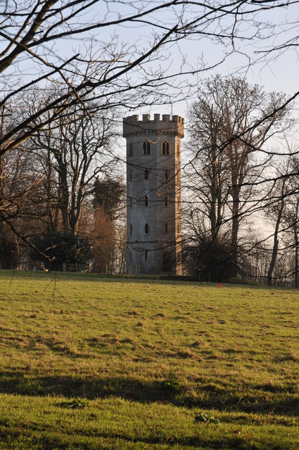
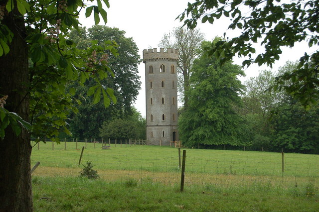
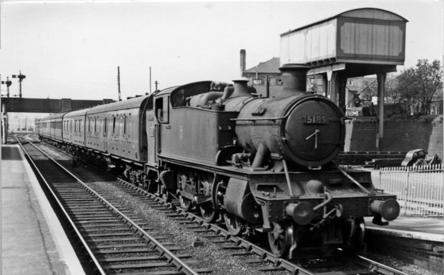
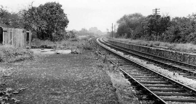
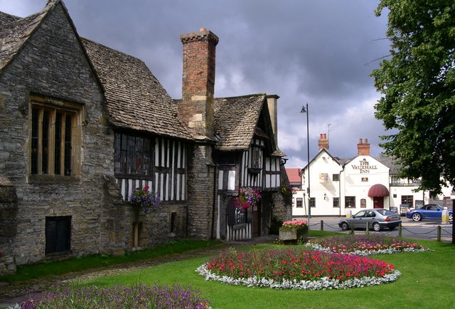
Clark's Hill Images
Images are sourced within 2km of 52.09271/-1.9613618 or Grid Reference SP0243. Thanks to Geograph Open Source API. All images are credited.


Clark's Hill is located at Grid Ref: SP0243 (Lat: 52.09271, Lng: -1.9613618)
Administrative County: Worcestershire
District: Wychavon
Police Authority: West Mercia
What 3 Words
///struggle.bulky.dating. Near Evesham, Worcestershire
Nearby Locations
Related Wikis

Hampton Ferry (River Avon)
The Hampton Ferry is a pedestrian cable ferry linking Evesham and the village of Hampton across the River Avon in the English county of Worcestershire...

Evesham Cricket Club Ground
The Evesham Cricket Club Ground in Evesham, Worcestershire was used for first-class cricket by Worcestershire County Cricket Club on a single occasion...

Hampton, Worcestershire
Hampton is an area of Evesham in Worcestershire, England having formerly been a separate village. It is linked to the nearby town of Evesham by the ancient...
Bengeworth railway station
Bengeworth railway station was a station on the Midland Railway between Ashchurch and Evesham. The precise location of the station was not in the Evesham...

River Isbourne
The River Isbourne is 14 mile (22 km) long tributary of the River Avon which flows through Gloucestershire and Worcestershire in the Midlands of England...
Almonry Museum and Heritage Centre
The Almonry Museum and Tourist Information Centre is a museum in Evesham in Worcestershire, England. It is also referred to as The Almonry Museum and just...

Evesham Town Hall
Evesham Town Hall is a municipal structure in the Market Place in Evesham, Worcestershire, England. The town hall, which was the headquarters of Evesham...
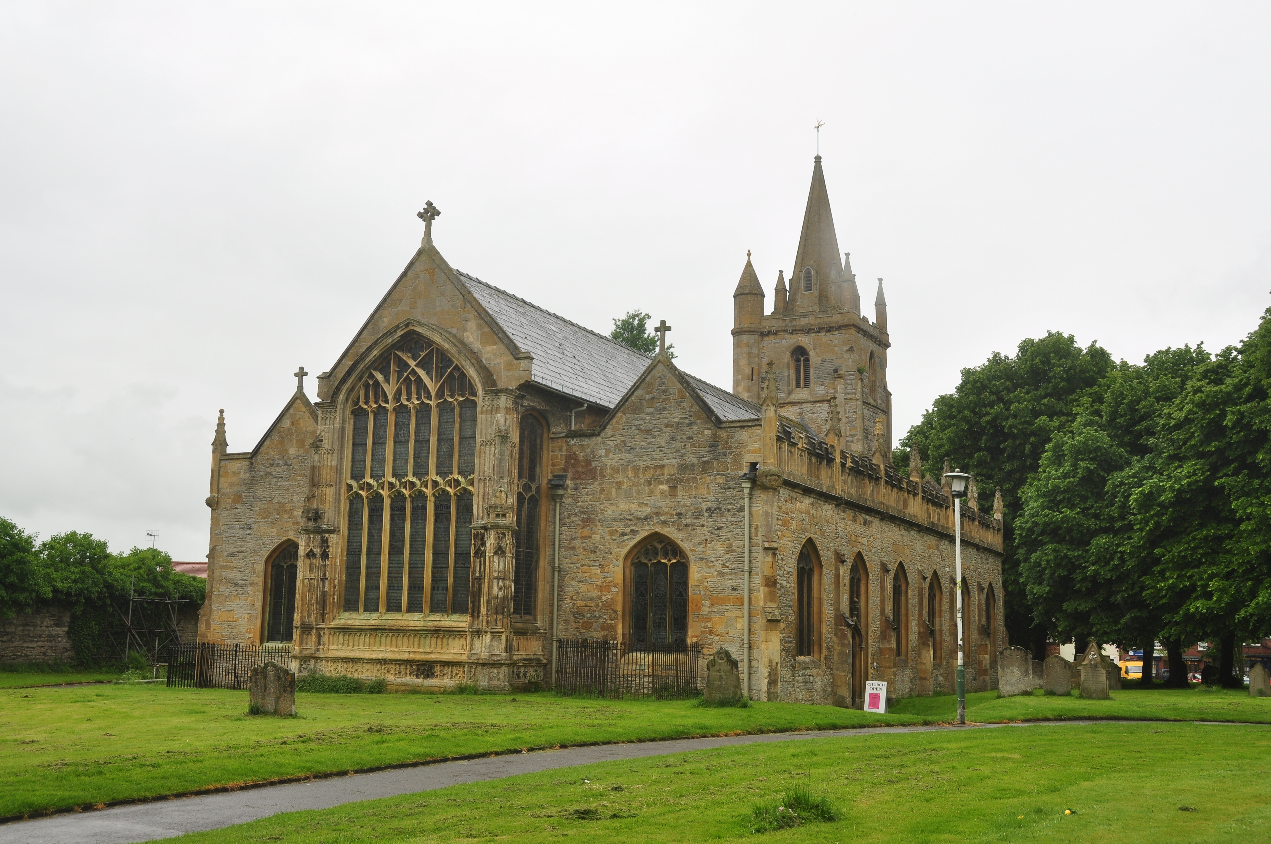
St Lawrence's Church, Evesham
St Lawrence's Church is a redundant Anglican church in the centre of the town of Evesham, Worcestershire, England. It is recorded in the National Heritage...
Nearby Amenities
Located within 500m of 52.09271,-1.9613618Have you been to Clark's Hill?
Leave your review of Clark's Hill below (or comments, questions and feedback).