Oliver Hill

Hill, Mountain in Staffordshire Staffordshire Moorlands

England

Oliver Hill

Lone tree in a sheep pasture at Spring Head
Lone tree in a sheep pasture at Spring Head Credit: Neil Theasby

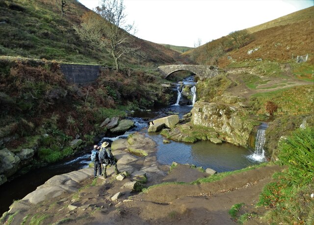
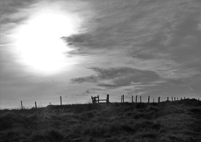
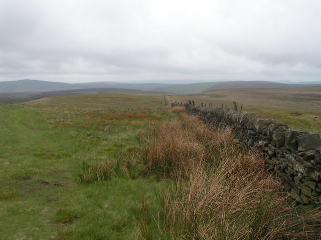
Oliver Hill is a prominent geographical feature located in Staffordshire, England. Situated in the southern part of the county, it is classified as a hill or mountain due to its considerable elevation. With an average height of 402 meters (1,319 feet) above sea level, it offers breathtaking panoramic views of the surrounding landscape.

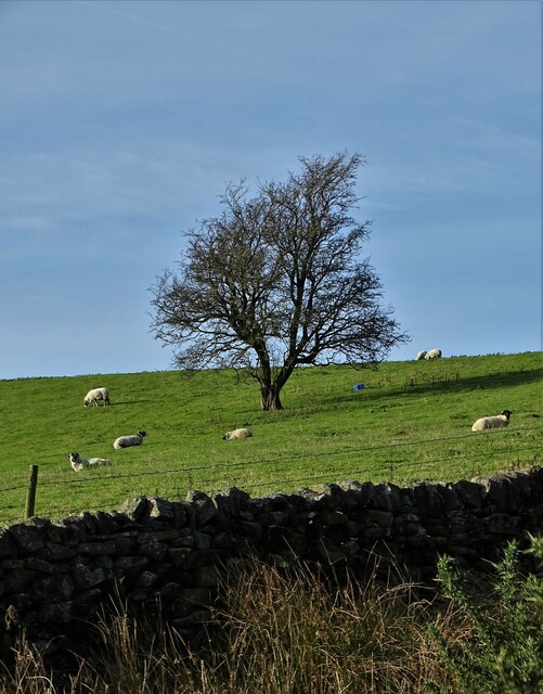
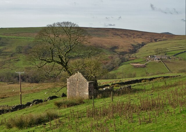
The hill is part of the Cannock Chase Area of Outstanding Natural Beauty, a designated protected area known for its diverse flora and fauna. Oliver Hill is covered in lush greenery, including deciduous and coniferous trees, providing a habitat for numerous species of wildlife.

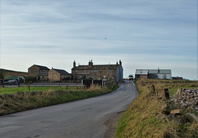
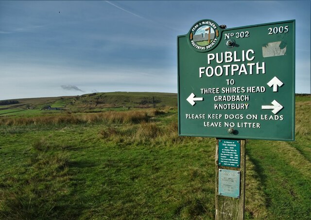
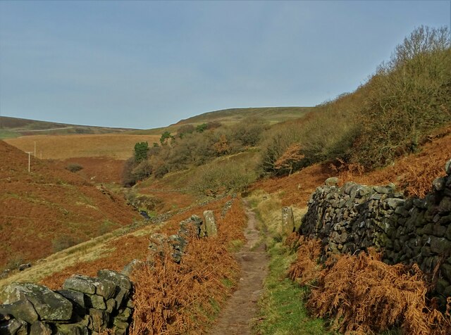
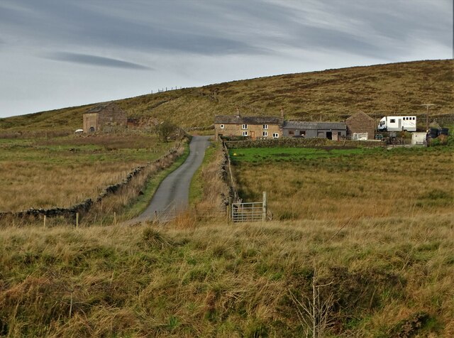
Visitors can access Oliver Hill by following well-marked hiking trails that traverse the area. These trails offer an opportunity to explore the natural beauty of the hill and its surroundings. One of the most popular routes is the Oliver Hill Circular Walk, which takes hikers on a scenic journey around the hill, allowing them to enjoy the stunning vistas from different angles.

The hill is also home to a plethora of recreational activities. Outdoor enthusiasts can engage in activities such as hiking, mountain biking, and birdwatching. Additionally, Oliver Hill is a favorite spot for paragliding and hang gliding due to its favorable wind conditions.

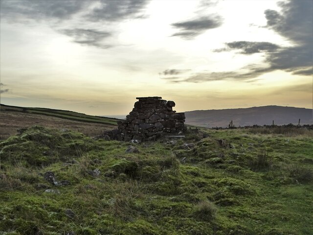
For those interested in history, Oliver Hill holds significance as it was once used as a beacon site during ancient times. This historical aspect adds an extra layer of intrigue to the hill, attracting history enthusiasts and archeologists alike.

Overall, Oliver Hill is a captivating and picturesque destination that offers a unique blend of natural beauty, recreational opportunities, and historical significance.

If you have any feedback on the listing, please let us know in the comments section below.

Oliver Hill Images

Images are sourced within 2km of 53.205608/-1.9606594 or Grid Reference SK0267. Thanks to Geograph Open Source API. All images are credited.

Lone tree in a sheep pasture at Spring Head
View from the Longnor Road To "The Knights Table" inn - by the A53 Buxton/Leek road.
View from the Longnor Road
To "The Knights Table" inn - by the A53 Buxton/Leek road.
St Paul's Church, Flash In the parish of Quarnford, the construction of St Paul's Church began in 1743.
St Paul's Church, Flash
In the parish of Quarnford, the construction of St Paul's Church began in 1743.
Elderberry Cottage near Flash
Boulder in a field in the parish of Quarnford
Crippled tree near Spring Head With a light aircraft flying overhead
Crippled tree near Spring Head
With a light aircraft flying overhead
Junction of paths north of Spring Head
Cocket Knowl High in the Staffordshire moors.
Cocket Knowl
High in the Staffordshire moors.
Barn ruin below Turn Edge
Three Shires Head Bridge - crossing The River Dane This is where the ancient ceremonial counties of Cheshire, Staffordshire and Derbyshire meet. Three Shires Head is also known as Three Shires Heads - both versions are acceptable. The pool to the right is I think known as Panniers Pool - often braved by hardy swimmers.
Three Shires Head Bridge - crossing The River Dane
This is where the ancient ceremonial counties of Cheshire, Staffordshire and Derbyshire meet. Three Shires Head is also known as Three Shires Heads - both versions are acceptable. The pool to the right is I think known as Panniers Pool - often braved by hardy swimmers.
On the moorland track to Three Shires Head Along the valley of The River Dane
On the moorland track to Three Shires Head
Along the valley of The River Dane
A view of Blackclough Farm
View to Readyleech Green Farm
November View Weather-beaten signpost above the village of Flash, looking out over the Staffordshire moors towards Cheshire.
November View
Weather-beaten signpost above the village of Flash, looking out over the Staffordshire moors towards Cheshire.
Lonely ruin on Oliver Hill Long ago someone might have lived here but more likely it was a sheep barn.
Lonely ruin on Oliver Hill
Long ago someone might have lived here but more likely it was a sheep barn.
On the path to Oliver Hill
Sign on "The New Inn" in Flash Shame about the missing apostrophe and the unnecessary capital "V". Perhaps it was the altitude's fault.
Sign on "The New Inn" in Flash
Shame about the missing apostrophe and the unnecessary capital "V". Perhaps it was the altitude's fault.
Blackclough & Dane Valley Way
Show me another place!

Oliver Hill is located at Grid Ref: SK0267 (Lat: 53.205608, Lng: -1.9606594)

Administrative County: Staffordshire

District: Staffordshire Moorlands

Police Authority: Staffordshire

What 3 Words

///work.saints.reissued. Near Buxton, Derbyshire

Nearby Locations

Oliver Hill Flash

Related Wikis

Oliver Hill (Peak District)

Oliver Hill is a hill, 513 metres (1,683 ft) high, in the Peak District in the county of Staffordshire in England. It is a treeless summit surrounded by...

Quarnford

Quarnford is a village and civil parish in the Staffordshire Moorlands district of Staffordshire, England. According to the 2001 census it had a population...

Flash, Staffordshire

Flash is a village in the Staffordshire Moorlands, England, and Peak District National Park. At 1,519 feet (463 m) above sea level, it is the highest village...

Three Shire Heads

Three Shire Heads (also known as Three Shires Head) is the point on Axe Edge Moor where Cheshire, Derbyshire and Staffordshire meet, at UK grid reference...

Cheeks Hill

Cheeks Hill is a hill on Axe Edge Moor in the Peak District, England. It lies just south of the Cat and Fiddle Road near Buxton, and forms part of the...

Axe Edge Moor

Axe Edge Moor is the major moorland southwest of Buxton in the Peak District, England. It is mainly gritstone (Namurian shale and sandstone). Its highest...

Black Brook Nature Reserve

Black Brook is a nature reserve of the Staffordshire Wildlife Trust, about 7 miles (11 km) north-east of Leek, in Staffordshire, England. It is moorland...

Hollins Hill

Hollins Hill is a gritstone hill in the Derbyshire Peak District near the village of Hollinsclough. The summit is 450 metres (1,480 ft) above sea level...

Nearby Amenities

Located within 500m of 53.205608,-1.9606594
Flash
Alt Name: Quarnford
Ele: 463
Is In: Staffordshire, United Kingdom
Place: village
Wikidata: Q8563640
Wikipedia: en:Flash, Staffordshire
Lat/Long: 53.2021778/-1.9640875
Bus Stop
Flash C of E Primary School
Bus: yes
Naptan AtcoCode: 3800C806700
Naptan Bearing: SW
Naptan CommonName: Primary School
Naptan Indicator: Adj
Naptan Landmark: Flash Primary Sch
Naptan Street: Brown Lane
Naptan Verified: no
Public Transport: platform
Source: naptan_import
Lat/Long: 53.202165/-1.9620678
Pub
The New Inn
Car Park: yes
Description Floor: stone
Operator: Freehouse
Real Ale: Storm Bosley Cloud (probably a varying guest)
Lat/Long: 53.2017452/-1.9637269
Barrier: stile
Bicycle: no
Foot: yes
Lat/Long: 53.2032377/-1.9654535
Barrier: stile
Bicycle: yes
Foot: yes
Lat/Long: 53.2026278/-1.9655846
Parking
Description: Layby
Ele: 446.0000000
Surface: paved
Lat/Long: 53.2043416/-1.956317
Booth: K6
Ele: 449.0000000
Removed Amenity: telephone
Lat/Long: 53.2016393/-1.963448
Addr Housename: The Old Schoolhouse
Lat/Long: 53.2017602/-1.9634867
Barrier: kissing_gate
Source: survey;gps
Lat/Long: 53.2012681/-1.9610007
Defibrillator
Defibrillator Location: On outside wall. Available 24/7
Emergency: defibrillator
Indoor: no
Lat/Long: 53.201785/-1.9636476
Oliver Hill
Ele: 513
Natural: peak
Source: https://www.hill-bagging.co.uk/mountaindetails.php?qu=S&rf=3642
Source Ele: NPE (1,684ft)
Wikidata: Q23042112
Wikipedia: en:Oliver Hill (Peak District)
Lat/Long: 53.2053873/-1.9607544
Barrier: stile
Material: wood
Source: survey;gps
Stile: stepover
Lat/Long: 53.2093055/-1.9577005
Barrier: stile
Material: wood
Source: survey;gps
Stile: stepover
Lat/Long: 53.2061967/-1.9571549
Barrier: stile
Material: wood
Source: survey;gps
Stile: stepover
Lat/Long: 53.2065653/-1.9576181
Barrier: stile
Bicycle: no
Foot: yes
Lat/Long: 53.2039797/-1.9655862
Barrier: stile
Bicycle: yes
Foot: yes
Lat/Long: 53.2047618/-1.9656527
Post Box
Post Box Type: lamp
Ref: SK17 13
Royal Cypher: EIIR
Royal Cypher Wikidata: Q33102113
Lat/Long: 53.2017607/-1.9632912
The data included in this document is from www.openstreetmap.org. The data is made available under ODbL.

Have you been to Oliver Hill?

Leave your review of Oliver Hill below (or comments, questions and feedback).