Butler's Hill

Hill, Mountain in Worcestershire Bromsgrove

England

Butler's Hill

Meadows Farm Previously owned by Travelodge but now by Marston Inns.
Meadows Farm Credit: Sandy Gerrard

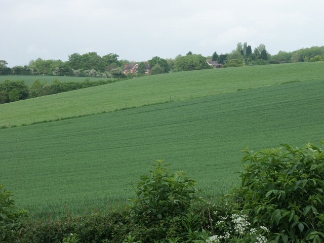
Butler's Hill is a prominent hill located in Worcestershire, England. Situated in the Malvern Hills Area of Outstanding Natural Beauty, it stands at an elevation of approximately 1,109 feet (338 meters) above sea level. The hill is part of the larger Malvern Hills range and offers stunning panoramic views of the surrounding countryside.

Covered in lush green vegetation, Butler's Hill boasts a diverse range of flora and fauna, making it a haven for nature enthusiasts and hikers. The hill is home to several species of wildflowers, including orchids, bluebells, and primroses, which bloom during the spring, creating a colorful tapestry across the landscape. The area is also known for its rich birdlife, with various species such as buzzards, peregrine falcons, and kestrels frequently spotted soaring above.

The summit of Butler's Hill provides visitors with breathtaking vistas, allowing them to admire the scenic beauty of Worcestershire. On a clear day, one can see the Malvern Hills stretching for miles, with the Malvern town and the Severn Valley visible in the distance. The hill is a popular destination for outdoor activities such as walking, hiking, and picnicking, as it offers numerous well-marked trails and footpaths.

Butler's Hill holds historical significance too, as it has remnants of Iron Age hillforts and ancient settlements. Archaeological excavations have revealed artifacts from various periods, showcasing its long-standing human presence.

Overall, Butler's Hill in Worcestershire is a captivating natural landmark, offering a tranquil escape from the hustle and bustle of everyday life, while providing an opportunity to appreciate the beauty of the British countryside.

If you have any feedback on the listing, please let us know in the comments section below.

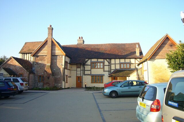
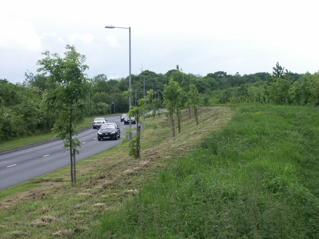
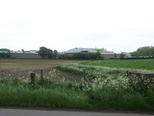
Butler's Hill Images

Images are sourced within 2km of 52.322208/-1.9642739 or Grid Reference SP0269. Thanks to Geograph Open Source API. All images are credited.

Meadows Farm Previously owned by Travelodge but now by Marston Inns.
Meadows Farm
Previously owned by Travelodge but now by Marston Inns.
Path through Foxlydiate Wood, Redditch Woodland on the western edge of Redditch.
Path through Foxlydiate Wood, Redditch
Woodland on the western edge of Redditch.
Grassland on the edge of Foxlydiate Wood
Royal Enfield Factory Or at least a part of it. Lowan's Hill Farm is just visible in the background.
Royal Enfield Factory
Or at least a part of it. Lowan's Hill Farm is just visible in the background.
Abbey Stadium The running track and soccer pitch are just inside the southern edge of the square, the adjoining Leisure Centre is in SP0468.
Abbey Stadium
The running track and soccer pitch are just inside the southern edge of the square, the adjoining Leisure Centre is in SP0468.
Pond Bay A northward view over what is curiously named on the modern OS map as a historical Pond Bay. Possible association with Bordesley Abbey less than a mile downstream?
Pond Bay
A northward view over what is curiously named on the modern OS map as a historical Pond Bay. Possible association with Bordesley Abbey less than a mile downstream?
Weights Lane, Redditch - east end Weights Lane lies to the left of the photographer and heads off under the Redditch-Birmingham railway line. This bypassed piece of road lies in front of a cottage and leads over what appears to be a weighbridge.
Weights Lane, Redditch - east end
Weights Lane lies to the left of the photographer and heads off under the Redditch-Birmingham railway line. This bypassed piece of road lies in front of a cottage and leads over what appears to be a weighbridge.
New road A new piece of road skirting new housing development at the western end of Redditch.
New road
A new piece of road skirting new housing development at the western end of Redditch.
Brockhill Wood "Conservation Wood: Please Keep Out" says the sign.
Brockhill Wood
"Conservation Wood: Please Keep Out" says the sign.
Brockhill Lane 'It doesn't rain in southern California' either...
Brockhill Lane
'It doesn't rain in southern California' either...
Lilly Green Lane New houses off a new road off a new bypass.
Lilly Green Lane
New houses off a new road off a new bypass.
Fields, woods and Brockhill Kennels
Weights Lane, Redditch - western end Not so much a lane as a farm track at this end. <a href="https://www.geograph.org.uk/gridref/SP0369">SP0369</a>
Weights Lane, Redditch - western end
Not so much a lane as a farm track at this end. SP0369
Fields & Shortwood Farm ... or Great Shortwood Farm as the old OS map describes it.
Fields & Shortwood Farm
... or Great Shortwood Farm as the old OS map describes it.
Open fields; closed prison HM Prison which, along with HM Remand Centre, Brockhill, and HM Young Offenders' Institution, Hewell Grange, makes up a surprising concentration of corrective establishments in this square.
Open fields; closed prison
HM Prison which, along with HM Remand Centre, Brockhill, and HM Young Offenders' Institution, Hewell Grange, makes up a surprising concentration of corrective establishments in this square.
Redditch fire station Redditch fire station, Birmingham Road, Redditch, Worcestershire.
Redditch fire station
Redditch fire station, Birmingham Road, Redditch, Worcestershire.
Crematorium near Bordesley Abbey-Redditch This can be seen on the hill overlooking Bordesley Abbey and The Forge Mill Museum.
Crematorium near Bordesley Abbey-Redditch
This can be seen on the hill overlooking Bordesley Abbey and The Forge Mill Museum.
Bordesley from Butler's Hill Looking across the valley of the River Arrow towards Weights Farm and Wellbrook Nursery.
Bordesley from Butler's Hill
Looking across the valley of the River Arrow towards Weights Farm and Wellbrook Nursery.
Show me another place!

Butler's Hill is located at Grid Ref: SP0269 (Lat: 52.322208, Lng: -1.9642739)

Administrative County: Worcestershire

District: Bromsgrove

Police Authority: West Mercia

What 3 Words

///rice.trick.wool. Near Redditch, Worcestershire

Related Wikis

Bordesley, Worcestershire

Bordesley is a village north of Redditch, in Worcestershire, England. Bordesley primarily comprises houses alongside the A441 Birmingham Road between...

Birmingham United F.C.

Birmingham United Football Club is a football club originally representing the village of Barnt Green, near Bromsgrove, in Worcestershire, England. Members...

Redditch United F.C.

Redditch United Football Club is an English football club based in Redditch, Worcestershire. The club participates in the Southern League Premier Division...
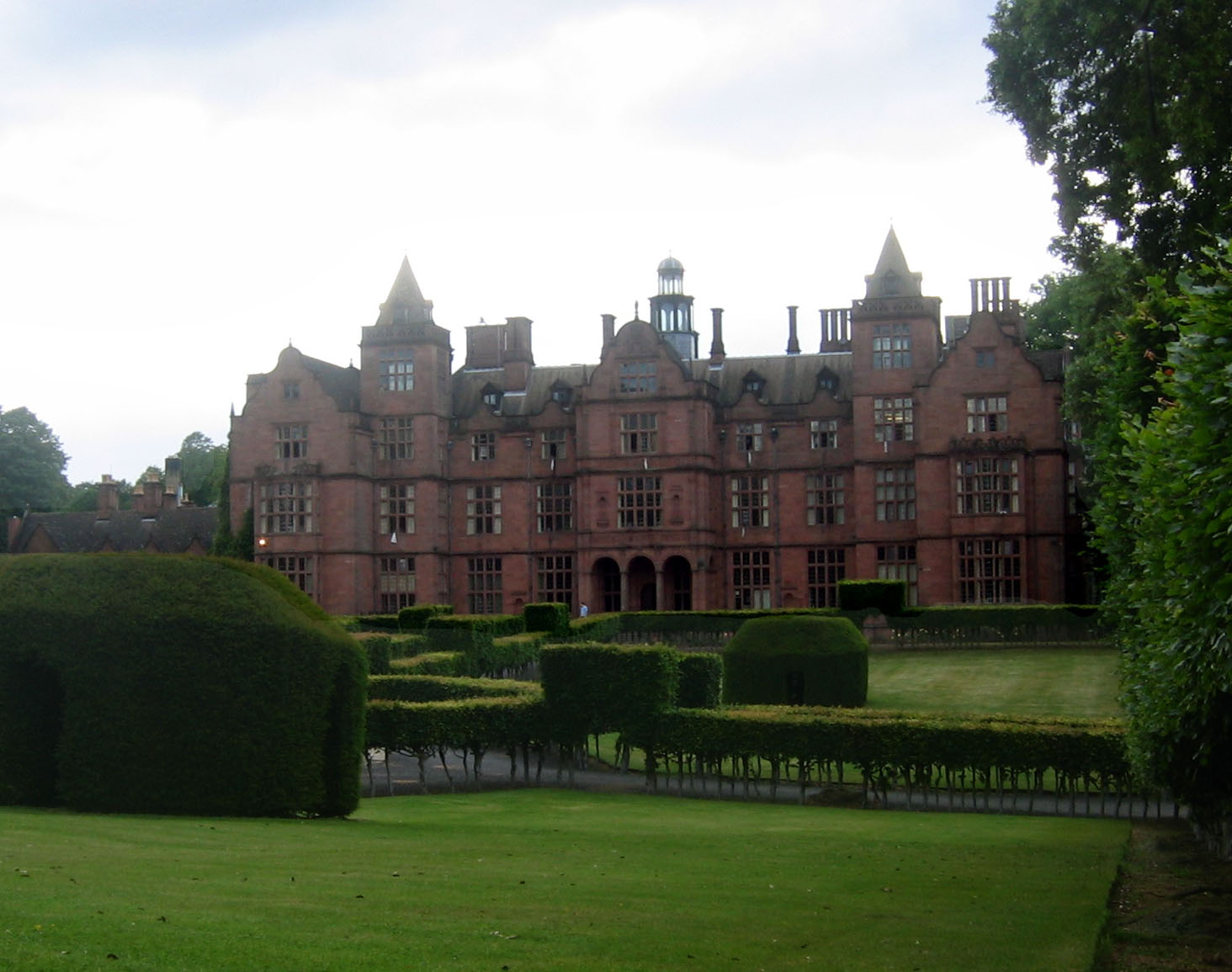
Hewell Grange

Hewell Grange is a former country house in Tardebigge, Worcestershire, England. "One of the most important late 19th century country houses in England...

HM Prison Hewell

HM Prison Hewell is a multiple security category men's prison in the village of Tardebigge in Worcestershire, England. The prison is operated by His Majesty...

Bordesley Abbey

Bordesley Abbey was a 12th-century Cistercian abbey near the town of Redditch, in Worcestershire, England. The abbey's foundation was an act of Waleran...

Forge Mill Needle Museum

The Forge Mill Needle Museum in Redditch, Worcestershire, is a historic museum depicting Redditch's Industrial Heritage. Opened in 1983 by Queen Elizabeth...

Redditch railway station

Redditch railway station serves the town of Redditch, North Worcestershire, England. It is the southern terminus of the Cross-City Line 14.5 miles (23...

Nearby Amenities

Located within 500m of 52.322208,-1.9642739
Brockhill Lane
Power: pole
Ref: 776243
Source: wpd_opendata
Transformer: distribution
Voltage Primary: 11000
Lat/Long: 52.317881/-1.9653377
Location Transition: yes
Power: pole
Source: bing
Lat/Long: 52.3183515/-1.9653243
Power: pole
Source: bing
Lat/Long: 52.3194517/-1.9697902
Power: pole
Source: bing
Lat/Long: 52.3192992/-1.9691169
Power: pole
Source: bing
Lat/Long: 52.3191418/-1.968433
Power: pole
Source: bing
Lat/Long: 52.3189319/-1.9671428
Power: pole
Lat/Long: 52.3187778/-1.9663006
Location Transition: yes
Power: pole
Source: bing
Lat/Long: 52.3186106/-1.9652841
The data included in this document is from www.openstreetmap.org. The data is made available under ODbL.

Have you been to Butler's Hill?

Leave your review of Butler's Hill below (or comments, questions and feedback).