Round Hill
Hill, Mountain in Yorkshire
England
Round Hill
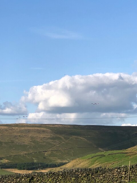
Round Hill is a prominent hill located in the county of Yorkshire, England. Standing at an impressive height of 1,451 feet (442 meters), it is widely recognized as the highest point in the region, making it a popular destination for hikers, outdoor enthusiasts, and nature lovers.
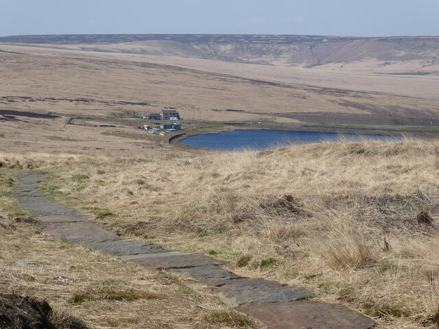
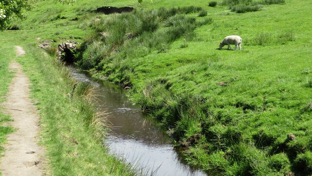
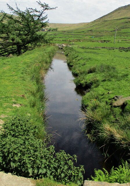
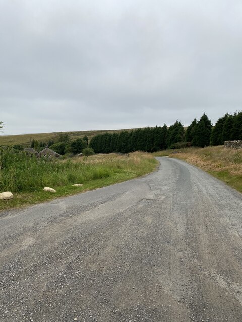
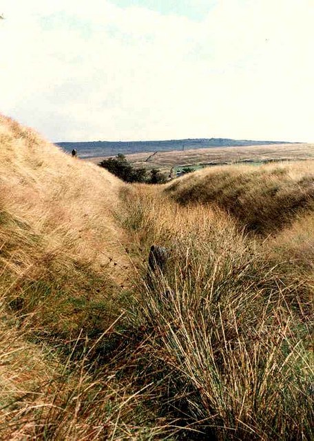
Situated within the Yorkshire Dales National Park, Round Hill boasts breathtaking panoramic views of the surrounding countryside, including picturesque valleys, rolling hills, and charming villages. On a clear day, it is even possible to catch a glimpse of the distant Yorkshire Moors.
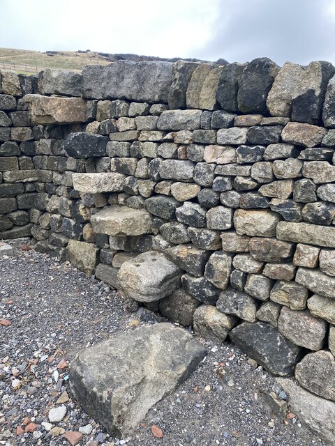
The hill itself is characterized by its rounded shape, which is believed to have been formed during the last Ice Age. It is predominantly covered in lush grassland, dotted with occasional rocky outcrops and patches of heather, providing a diverse habitat for a variety of wildlife.
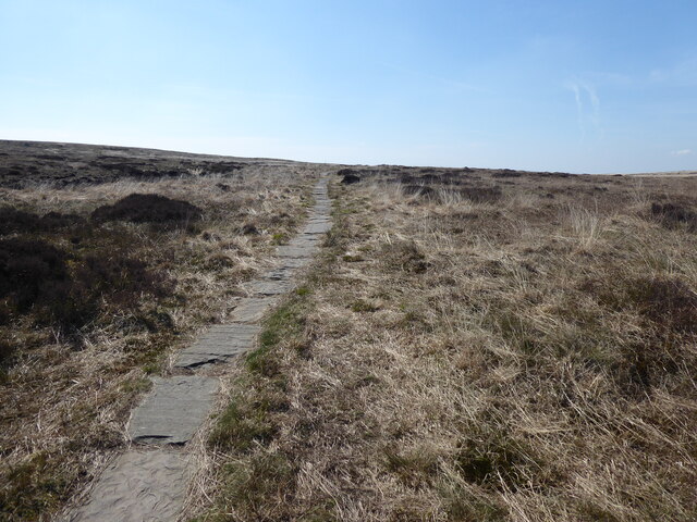
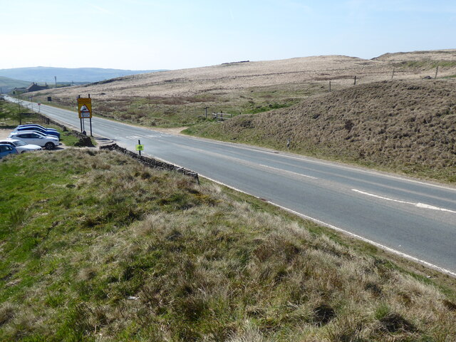
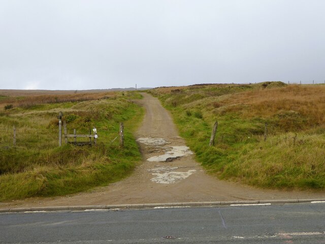
A well-defined footpath leads visitors to the summit of Round Hill, where they are rewarded with awe-inspiring vistas. This path is accessible to both experienced hikers and casual walkers, although caution is advised during adverse weather conditions. Additionally, the hill is surrounded by an extensive network of trails and bridleways, offering opportunities for longer excursions and exploring the surrounding countryside.
While Round Hill itself does not have any amenities or facilities, the nearby town of Masham provides a range of services, including accommodation, shops, and eateries. Overall, Round Hill offers a stunning natural setting and a chance to immerse oneself in the beauty of the Yorkshire landscape.
If you have any feedback on the listing, please let us know in the comments section below.
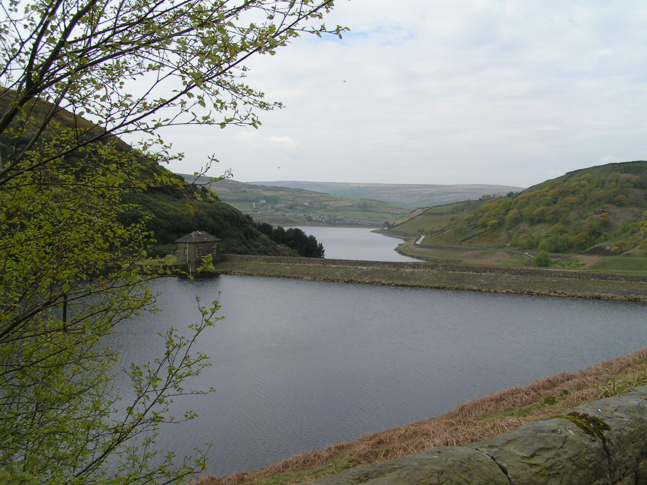
Round Hill Images
Images are sourced within 2km of 53.578509/-1.9656176 or Grid Reference SE0209. Thanks to Geograph Open Source API. All images are credited.


Round Hill is located at Grid Ref: SE0209 (Lat: 53.578509, Lng: -1.9656176)
Division: West Riding
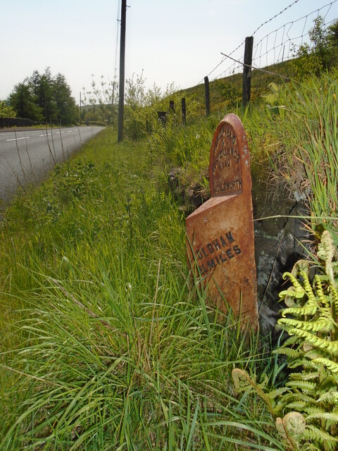
Unitary Authority: Oldham
Police Authority: Greater Manchester
What 3 Words
///teams.paid.reefs. Near Diggle, Manchester
Nearby Locations
Related Wikis

Standedge
Standedge () is a moorland escarpment in the Pennine Hills of northern England between Marsden, West Yorkshire and Diggle, Greater Manchester. Standedge...

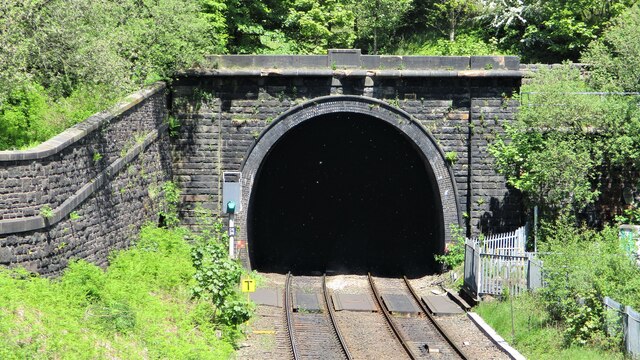
Standedge Tunnels
The Standedge Tunnels () are four parallel tunnels through the Pennine hills at the Standedge crossing between Marsden in Kirklees, West Yorkshire and...

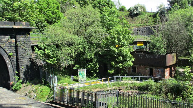
Diggle railway station
Diggle railway station was a station that served the village of Diggle on the Huddersfield Line to the north of Uppermill. Immediately to the west of the...

Castleshaw
Castleshaw is a hamlet in the Saddleworth parish of the Metropolitan Borough of Oldham in Greater Manchester, England. It lies amid the Pennines, 2.4 miles...

Diggle, Greater Manchester
Diggle is a village in the civil parish of the Saddleworth in Metropolitan Borough of Oldham, in Greater Manchester, England. The village is situated on...
Castleshaw Roman Fort
Castleshaw Roman fort was a castellum in the Roman province of Britannia. Although there is no evidence to substantiate the claim, it has been suggested...

Marsden Moor Estate
The Marsden Moor Estate is a large expanse of moorland in the South Pennines, between the conurbations of West Yorkshire and Greater Manchester in the...
Wessenden Valley
The Wessenden Valley is a moorland valley in the Dark Peak, immediately south of Marsden in West Yorkshire, England. The name Wessenden derives from Old...
Nearby Amenities
Located within 500m of 53.578509,-1.9656176Have you been to Round Hill?
Leave your review of Round Hill below (or comments, questions and feedback).