Cage Hill

Hill, Mountain in Staffordshire Stafford

England

Cage Hill

View to Millennium Green, Hixon, Staffordshire The view is taken from the car park. The Bank House public house is immediately behind the camera. The Hixon Millennium Green was opened on January 1st 2000 as part of a nationwide series of Millennium Greens in England each managed by trustees.
View to Millennium Green, Hixon, Staffordshire Credit: Rod Grealish

Cage Hill is a prominent hill located in Staffordshire, England. It is situated near the town of Leek, approximately 10 miles northeast of Stoke-on-Trent. The hill is part of the stunning Peak District National Park, which is renowned for its natural beauty and diverse landscapes.

Rising to an elevation of around 1,500 feet, Cage Hill offers breathtaking panoramic views of the surrounding area. It is characterized by its steep and rugged terrain, making it a popular destination for hikers, climbers, and nature enthusiasts alike. The hill is covered in lush vegetation, including heather, grasses, and scattered trees, providing a rich habitat for a variety of wildlife.

At the summit of Cage Hill, there is an ancient fortification known as The Cage. This historical structure is believed to have been built during the Iron Age, serving as a defensive enclosure for the local population. Today, The Cage stands as a reminder of the area's rich history and provides visitors with a glimpse into the past.

Cage Hill is easily accessible by foot, with several marked trails leading to its summit. The hill offers a challenging yet rewarding hike, allowing visitors to immerse themselves in the natural beauty of Staffordshire and enjoy stunning views of the surrounding countryside. Whether it's for outdoor activities or simply to appreciate the breathtaking vistas, Cage Hill is a must-visit destination for those exploring Staffordshire and the Peak District.

If you have any feedback on the listing, please let us know in the comments section below.
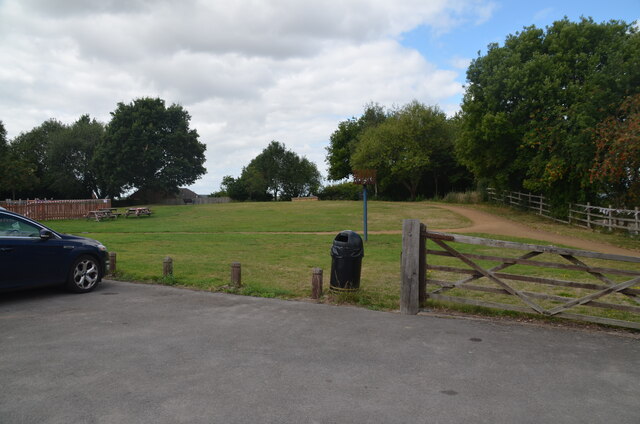
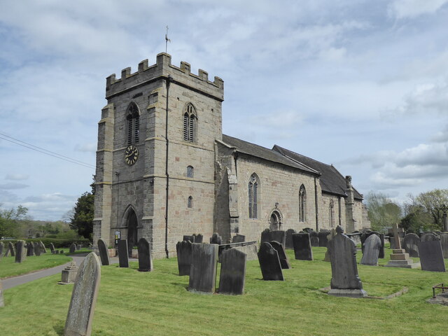
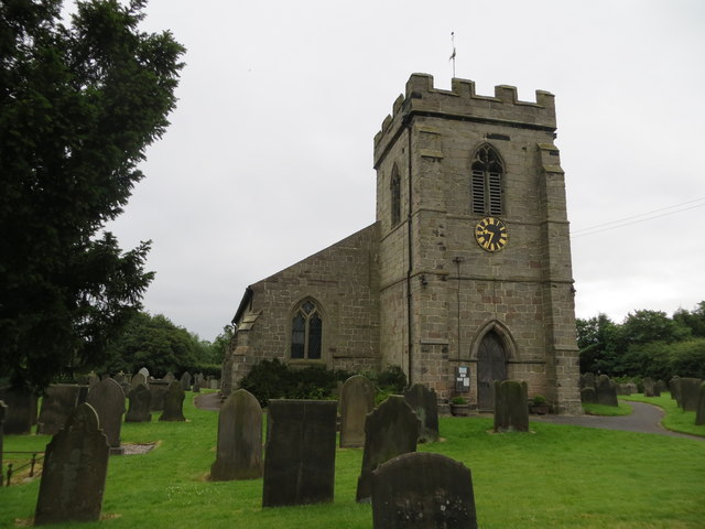
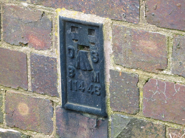
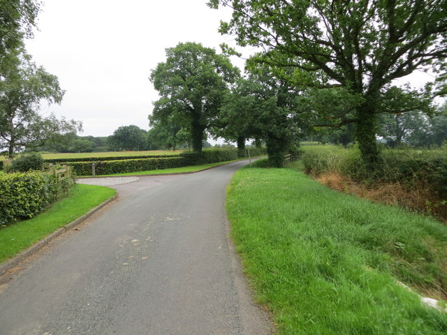
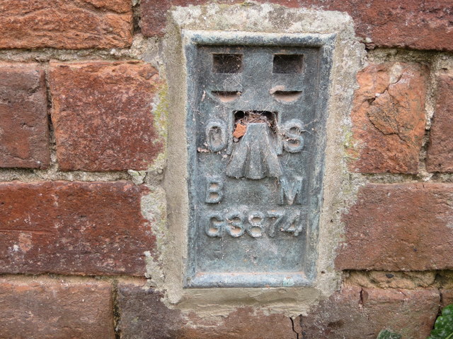
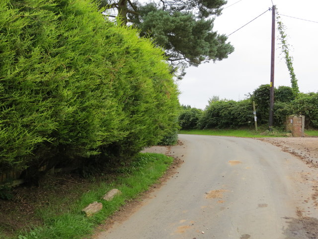
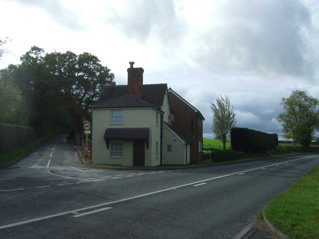
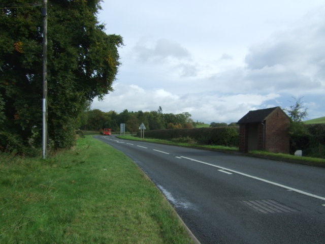
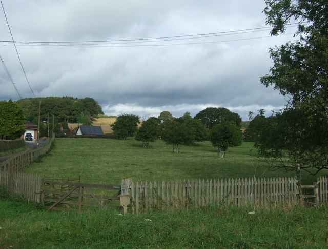
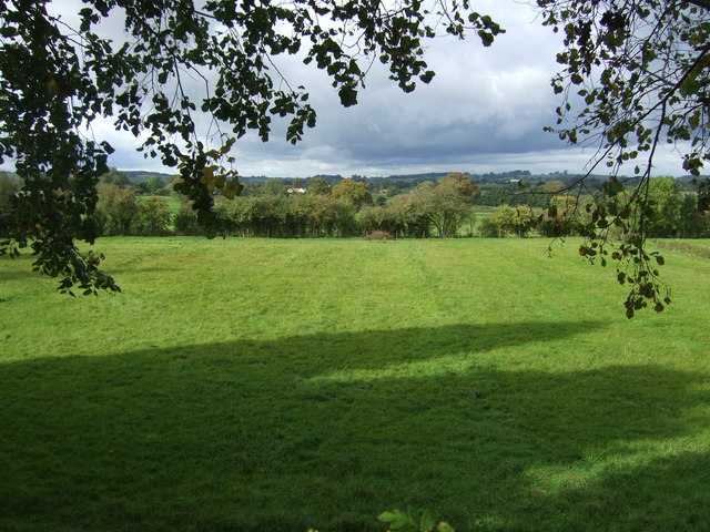
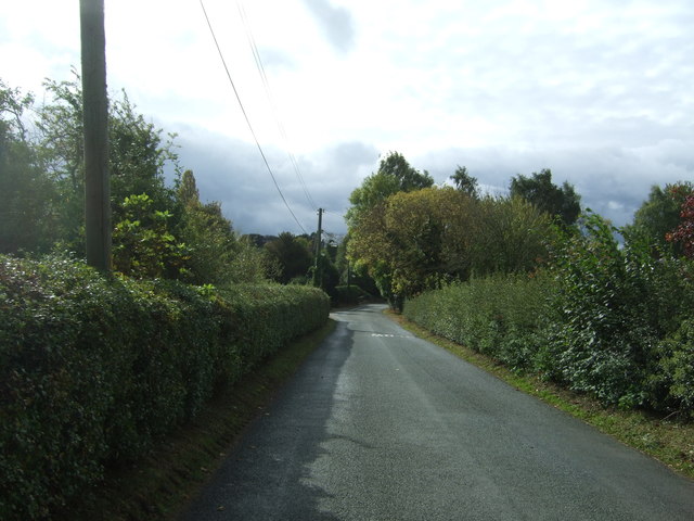
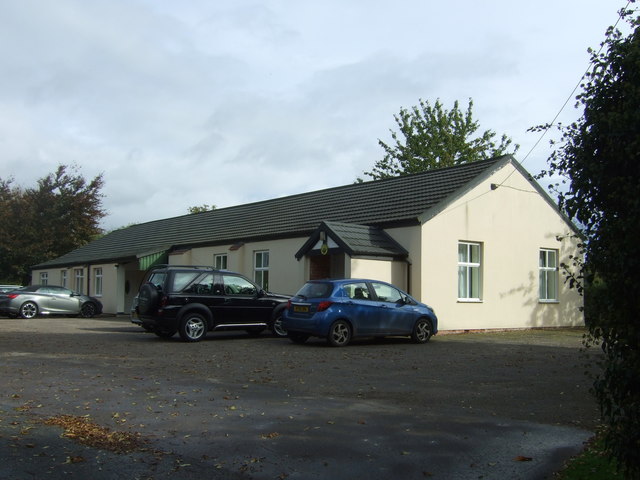
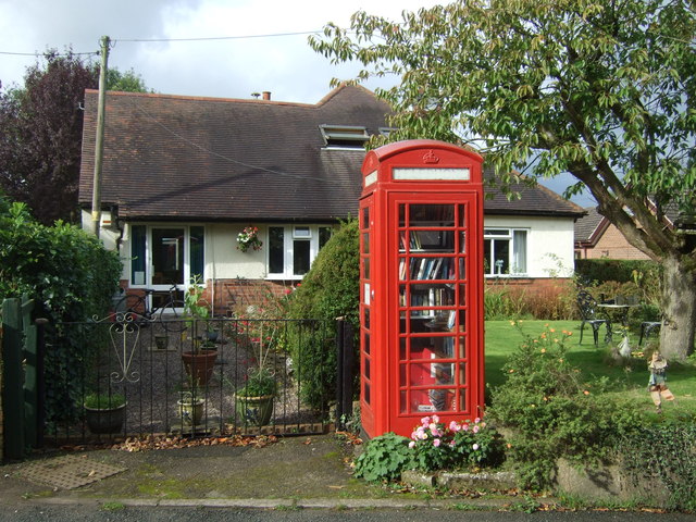
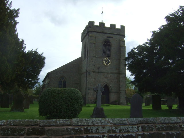
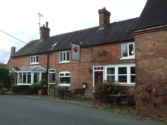
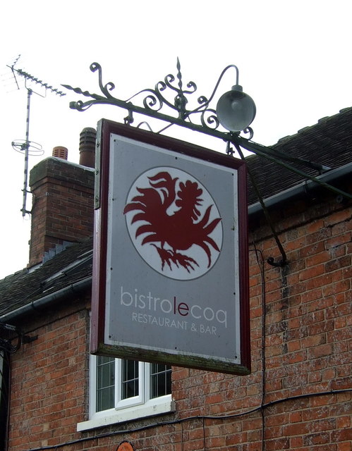
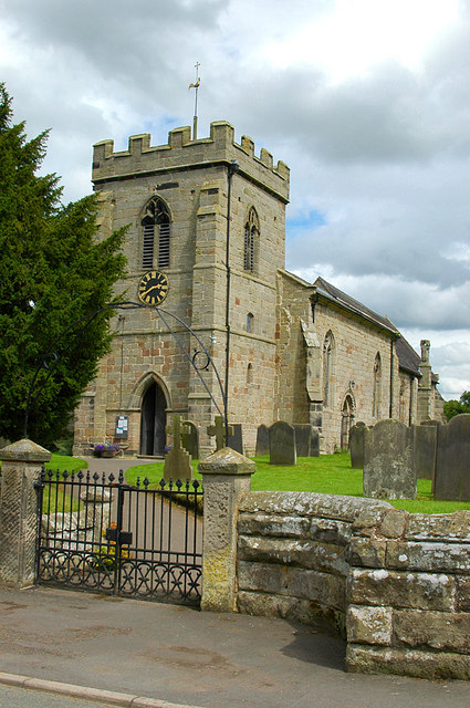
Cage Hill Images

Images are sourced within 2km of 52.848548/-1.9902175 or Grid Reference SK0027. Thanks to Geograph Open Source API. All images are credited.

View to Millennium Green, Hixon, Staffordshire The view is taken from the car park. The Bank House public house is immediately behind the camera. The Hixon Millennium Green was opened on January 1st 2000 as part of a nationwide series of Millennium Greens in England each managed by trustees.
View to Millennium Green, Hixon, Staffordshire
The view is taken from the car park. The Bank House public house is immediately behind the camera. The Hixon Millennium Green was opened on January 1st 2000 as part of a nationwide series of Millennium Greens in England each managed by trustees.
Stowe by Chartley, St John the Baptist
The Church of St John at Stowe-by-Chartley Viewed from the north-west.
The Church of St John at Stowe-by-Chartley
Viewed from the north-west.
Ordnance Survey Flush Bracket G3875 This can be found on the roadside wall of Bistro le Coq (former Cock Inn) in Stowe-by-Chartley.
For more detail see : <span class="nowrap"><a title="http://www.bench-marks.org.uk/bm10451" rel="nofollow ugc noopener" href="http://www.bench-marks.org.uk/bm10451">Link</a><img style="margin-left:2px;" alt="External link" title="External link - shift click to open in new window" src="https://s1.geograph.org.uk/img/external.png" width="10" height="10"/></span>
Ordnance Survey Flush Bracket G3875
This can be found on the roadside wall of Bistro le Coq (former Cock Inn) in Stowe-by-Chartley. For more detail see : LinkExternal link
Ordnance Survey Flush Bracket 11448 This can be found on the parapet wall of a roadside drain near Normanswood Farm.
For more detail see : <span class="nowrap"><a title="http://www.bench-marks.org.uk/bm19179" rel="nofollow ugc noopener" href="http://www.bench-marks.org.uk/bm19179">Link</a><img style="margin-left:2px;" alt="External link" title="External link - shift click to open in new window" src="https://s1.geograph.org.uk/img/external.png" width="10" height="10"/></span>
Ordnance Survey Flush Bracket 11448
This can be found on the parapet wall of a roadside drain near Normanswood Farm. For more detail see : LinkExternal link
Drointon Lane near the entrance to Normanswood Farm Looking north-eastward.
Drointon Lane near the entrance to Normanswood Farm
Looking north-eastward.
Ordnance Survey Flush Bracket G3874 This can be found on the wall of a barn at Upper Farm, Drointon.
For more detail see : <span class="nowrap"><a title="http://www.bench-marks.org.uk/bm11084" rel="nofollow ugc noopener" href="http://www.bench-marks.org.uk/bm11084">Link</a><img style="margin-left:2px;" alt="External link" title="External link - shift click to open in new window" src="https://s1.geograph.org.uk/img/external.png" width="10" height="10"/></span>
Ordnance Survey Flush Bracket G3874
This can be found on the wall of a barn at Upper Farm, Drointon. For more detail see : LinkExternal link
Lane near Upper Farm at Drointon Looking north-eastward.
Lane near Upper Farm at Drointon
Looking north-eastward.
Tollgate Cottage On the A518 near Stowe-by-Chartley.
Tollgate Cottage
On the A518 near Stowe-by-Chartley.
A518 towards Uttoxeter Looking north east.
A518 towards Uttoxeter
Looking north east.
Grazing near Chartley Hall Off the A518.
Grazing near Chartley Hall
Off the A518.
Grazing of Station Road Beside the former railway.
Grazing of Station Road
Beside the former railway.
Station Road into Stowe-by-Chartley  Looking south from the bridge on the former railway.
Station Road into Stowe-by-Chartley
Looking south from the bridge on the former railway.
Village Hall, Stowe-by-Chartley
Telephone box on Station Road, Stowe-by-Chartley  Now in use as a book exchange.
Telephone box on Station Road, Stowe-by-Chartley
Now in use as a book exchange.
St John the Baptist Church, Stowe-by-Chartley
Bistro Le Coq, Stowe-by-Chartley  Bar restaurant on Station Road.
Bistro Le Coq, Stowe-by-Chartley
Bar restaurant on Station Road.
Sign for the Bistro Le Coq, Stowe-by-Chartley
Show me another place!

Cage Hill is located at Grid Ref: SK0027 (Lat: 52.848548, Lng: -1.9902175)

Administrative County: Staffordshire

District: Stafford

Police Authority: Staffordshire

What 3 Words

///received.irrigated.restless. Near Great Haywood, Staffordshire

Related Wikis

Chartley railway station

Chartley railway station was a former British railway station to serve the village of Stowe-by-Chartley in Staffordshire. It was opened by the Stafford...
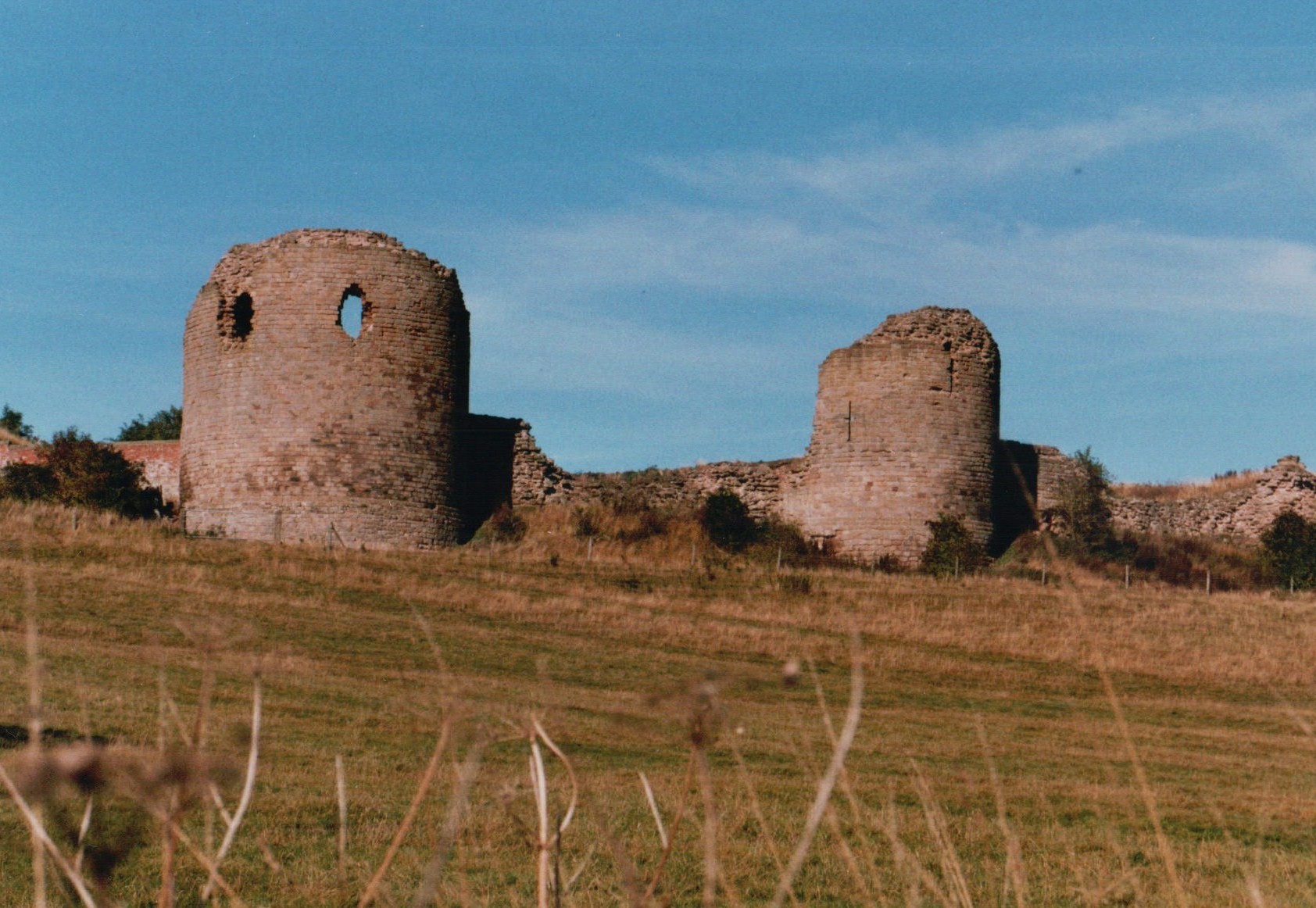
Chartley Castle

Chartley Castle lies in ruins to the north of the village of Stowe-by-Chartley in Staffordshire, between Stafford and Uttoxeter (grid reference SK010285...

Stowe-by-Chartley

Stowe-by-Chartley is a village and civil parish in the Borough of Stafford, Staffordshire, England. According to the parish council, the parish includes...
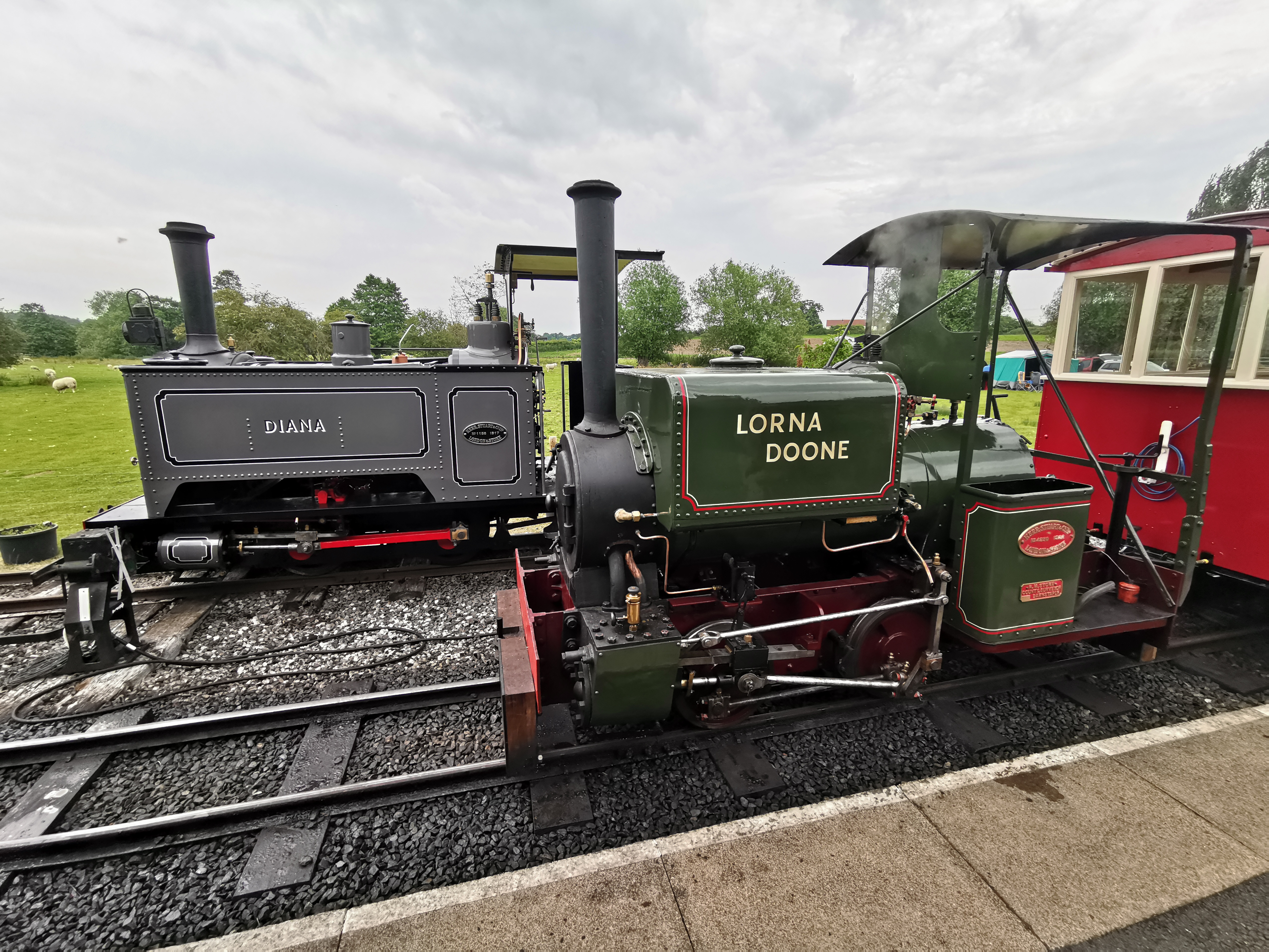
Amerton Railway

The Amerton Railway is a 2 ft (610 mm) narrow gauge heritage railway in the English county of Staffordshire. It is owned by Staffordshire Narrow Gauge...

Amerton

Amerton is a small village in the Borough of Stafford, Staffordshire, England, situated on the A518 road between Stafford and Uttoxeter. The population...
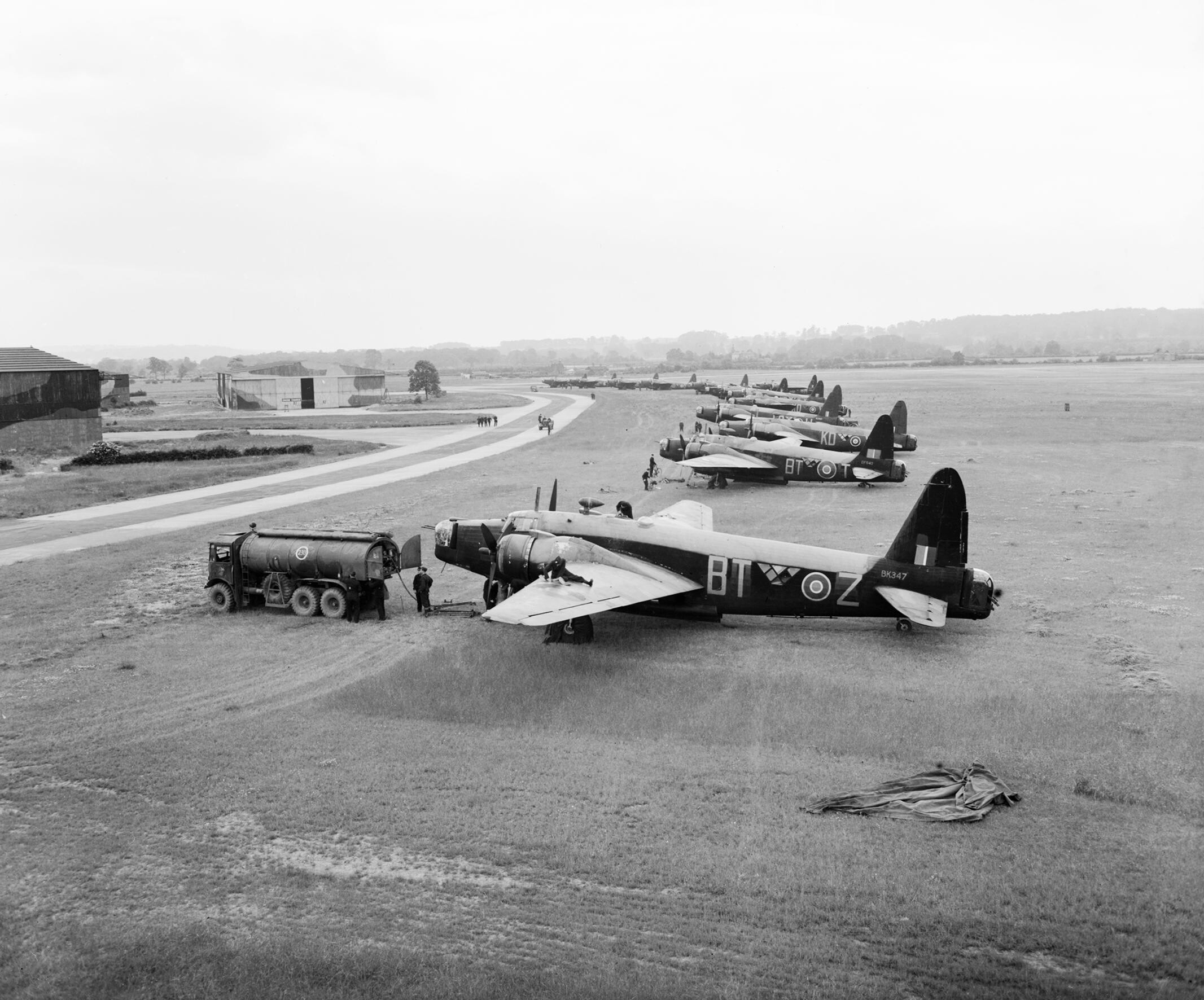
RAF Hixon

Royal Air Force Hixon, or more simply RAF Hixon, was a Royal Air Force station located on the north western edge of the village of Hixon in Staffordshire...

RAF Seighford

Royal Air Force Seighford or more simply RAF Seighford is a former Royal Air Force satellite station located 3.6 miles (5.8 km) northwest of Stafford,...

Chartley Moss

Chartley Moss is a 105.80 hectare biological Site of Special Scientific Interest in Staffordshire, notified in 1987. The area has been designated as an...

Nearby Amenities

Located within 500m of 52.848548,-1.9902175
Bus Stop
Mill Cottages
Bus: yes
Naptan AtcoCode: 3800C745301
Naptan Bearing: NE
Naptan CommonName: Mill Cottages
Naptan Indicator: Adj
Naptan Landmark: Mill Cottages
Naptan Street: A518
Naptan Verified: no
Public Transport: platform
Source: naptan_import
Lat/Long: 52.8500433/-1.994877
Mill Cottages
Naptan AtcoCode: 3800C745302
Naptan Bearing: SW
Naptan BusStopType: CUS
Naptan CommonName: Mill Cottages
Naptan Indicator: Opp
Naptan Landmark: Mill Cottages
Naptan Street: A518
Naptan Verified: no
Source: naptan_import
Lat/Long: 52.8499355/-1.9947285
Chartley
Abandoned Railway: station
Railway: site
Lat/Long: 52.8464629/-1.9953164
The data included in this document is from www.openstreetmap.org. The data is made available under ODbL.

Have you been to Cage Hill?

Leave your review of Cage Hill below (or comments, questions and feedback).