Bale Hill
Hill, Mountain in Northumberland
England
Bale Hill
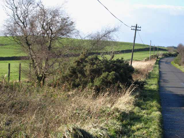
Bale Hill is a prominent hill located in Northumberland, England. Situated in the Cheviot Hills, it stands at an elevation of 2,041 feet (622 meters) and offers breathtaking views of the surrounding landscape.
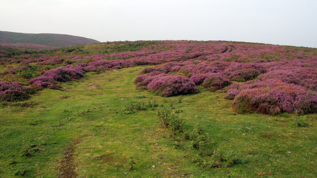
The hill is a popular destination for hikers and nature enthusiasts due to its picturesque beauty. Its distinct shape and lush greenery make it a standout feature in the region. The terrain is generally rough, with steep slopes and rocky outcrops, providing a challenge for experienced climbers. However, there are also gentler paths that allow less experienced walkers to enjoy the stunning surroundings.
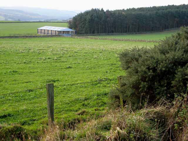
The hill is part of the Northumberland National Park, which is known for its diverse flora and fauna. Visitors may encounter various species of birds, including red grouse and peregrine falcons, as well as small mammals such as red squirrels and hares.
Bale Hill is also rich in history, with ancient remains scattered across its slopes. These include Bronze Age burial cairns and Iron Age hillforts, giving a glimpse into the area's past. Archaeological enthusiasts often explore the hill to uncover more about its fascinating heritage.
Overall, Bale Hill in Northumberland is a captivating destination that combines natural beauty, challenging terrain, and historical significance. Whether it's for a leisurely walk or an adventurous climb, visitors are guaranteed an unforgettable experience in this remarkable part of England.
If you have any feedback on the listing, please let us know in the comments section below.
Bale Hill Images
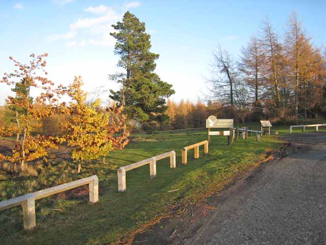
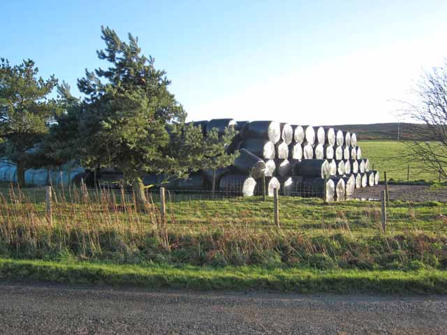
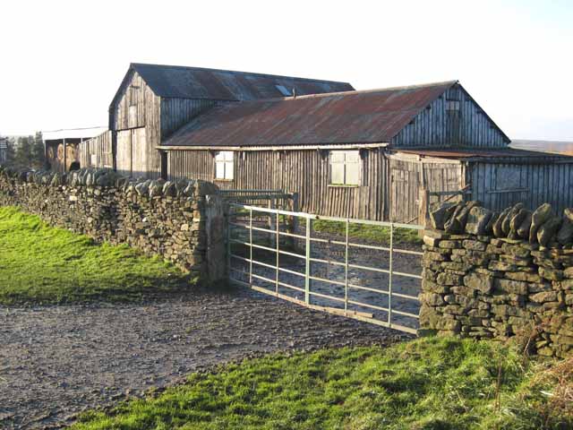
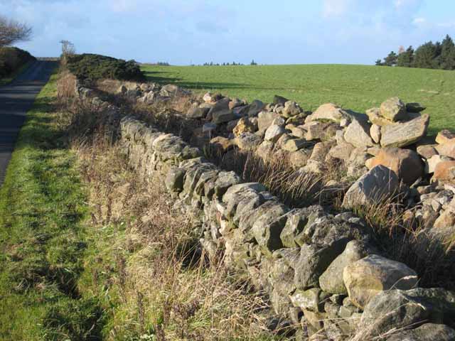
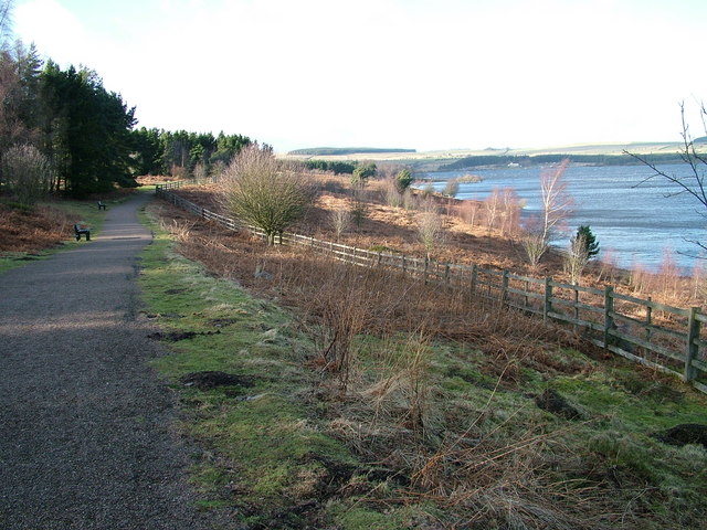
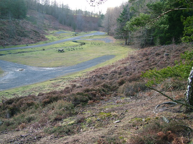
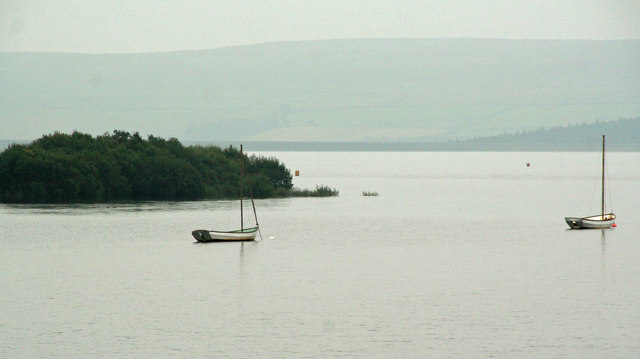
Images are sourced within 2km of 54.876632/-1.9953872 or Grid Reference NZ0053. Thanks to Geograph Open Source API. All images are credited.


Bale Hill is located at Grid Ref: NZ0053 (Lat: 54.876632, Lng: -1.9953872)
Unitary Authority: Northumberland
Police Authority: Northumbria
What 3 Words
///composts.students.piglets. Near Healey, Northumberland
Nearby Locations
Related Wikis

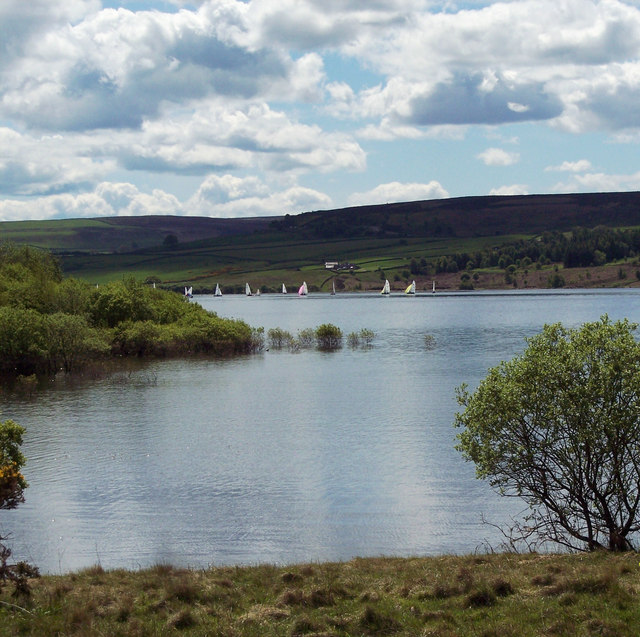
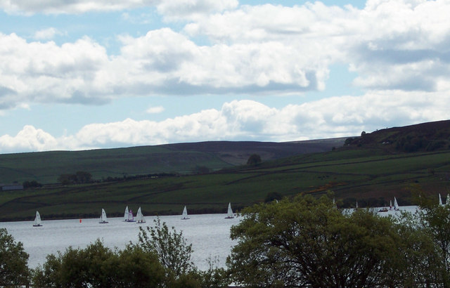
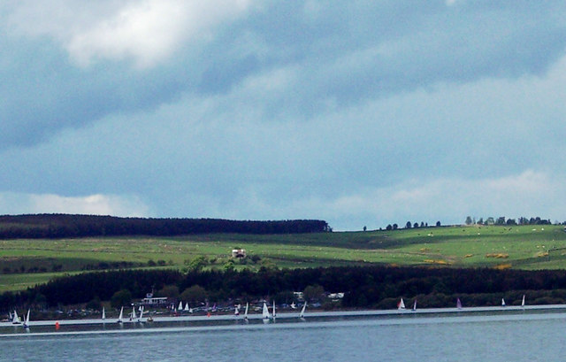
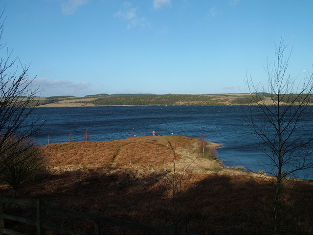
Derwent Reservoir (North East England)
The Derwent Reservoir is a reservoir on the River Derwent, on the border between County Durham and Northumberland, in England. It is west of Consett. It...

Pow Hill Bog
Pow Hill Bog is a Site of Special Scientific Interest in the Wear Valley district of County Durham, England. It lies alongside Derwent Reservoir, approximately...

Slaley Hall
Slaley Hall is a country house golf resort in Northumberland in North East England, built by local developers Seamus O'Carroll and John Rourke which hosted...

Colpitts Grange
Colpitts Grange is a hamlet in Northumberland, England. It is about 7 miles (11 km) to the south-east of Hexham. == Governance == Colpitts Grange is in...
Nearby Amenities
Located within 500m of 54.876632,-1.9953872Have you been to Bale Hill?
Leave your review of Bale Hill below (or comments, questions and feedback).