Hill of Forrest

Hill, Mountain in Aberdeenshire

Scotland

Hill of Forrest

Minor road near Rathen
Minor road near Rathen Credit: Steven Brown

Hill of Forrest is a prominent hill located in the picturesque region of Aberdeenshire, Scotland. Rising to an elevation of approximately 337 meters (1,106 feet), it offers breathtaking panoramic views of the surrounding countryside.

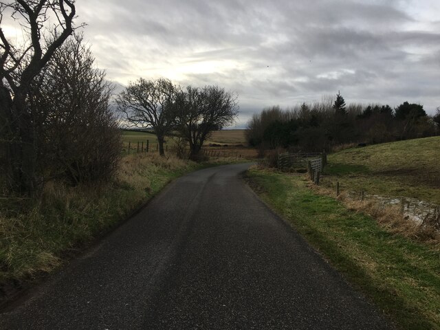
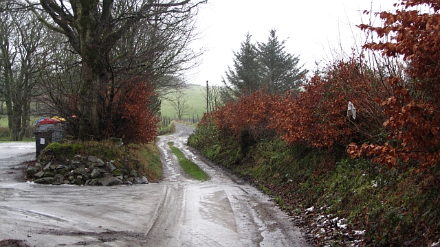
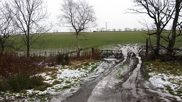
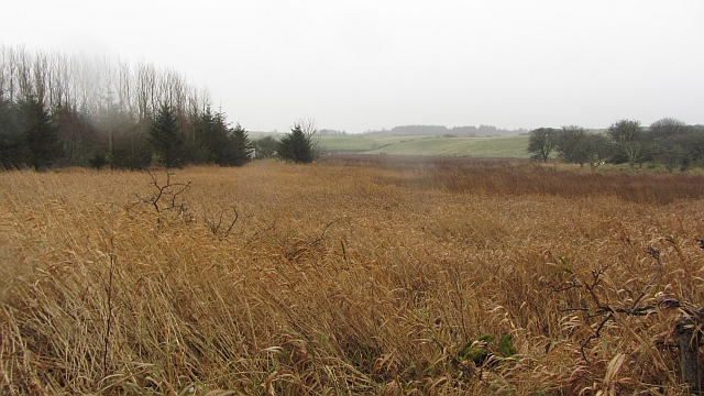
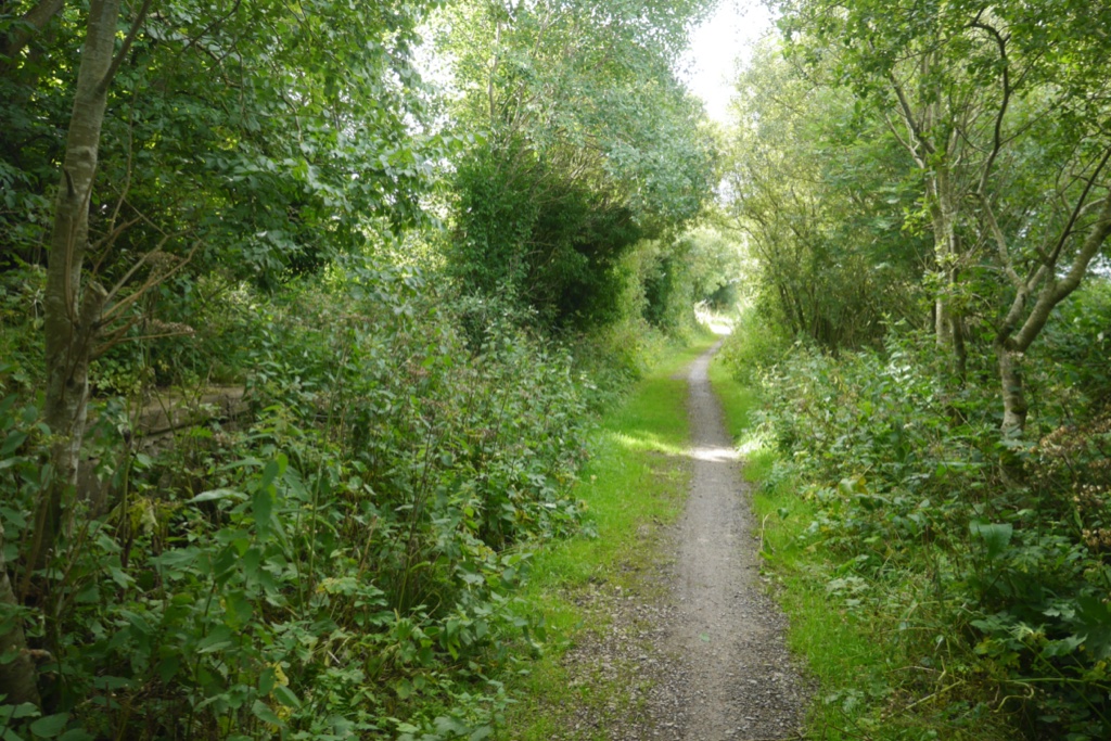
The hill is covered in lush vegetation, with patches of heather and grasses blanketing its slopes. The varied terrain includes gentle inclines as well as steeper sections, making it an ideal spot for hiking enthusiasts of all levels. Numerous walking trails crisscross the area, providing visitors with ample opportunities to explore the natural beauty of the hill.

At the summit of Hill of Forrest, one is rewarded with stunning vistas that stretch as far as the eye can see. On clear days, it is possible to catch glimpses of the nearby Cairngorms National Park and the sparkling North Sea in the distance. The peacefulness and tranquility of the hill make it a popular spot for nature lovers, birdwatchers, and photographers alike.

The hill is also steeped in historical significance. It is home to the remains of an ancient hillfort, known as the Tap o' Noth, which dates back thousands of years. This archaeological site provides a glimpse into the rich history of the area and is often visited by those interested in Scotland's past.

Overall, Hill of Forrest in Aberdeenshire offers visitors an opportunity to immerse themselves in the natural beauty of the Scottish countryside, while also delving into its rich historical heritage.

If you have any feedback on the listing, please let us know in the comments section below.

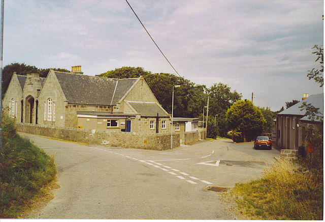
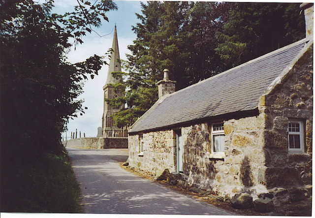
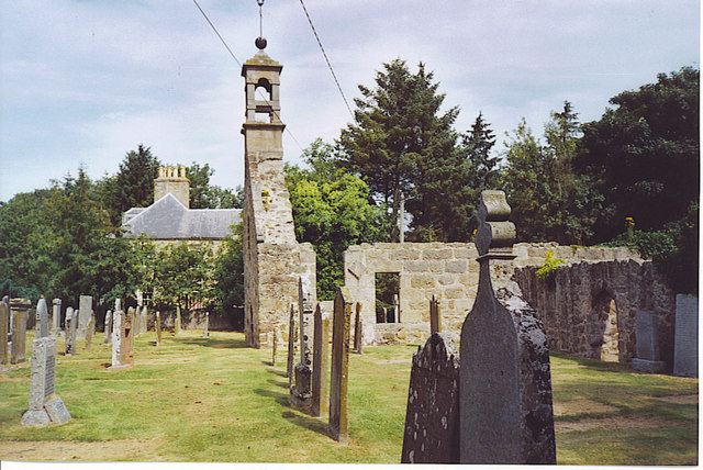
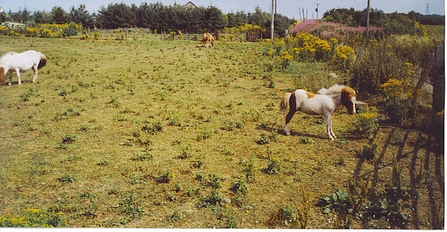
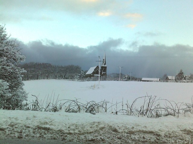
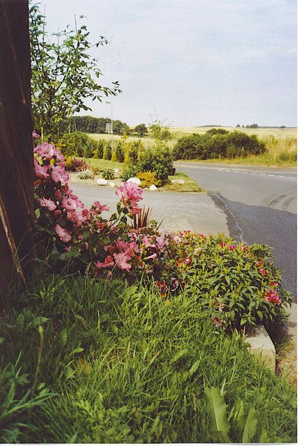
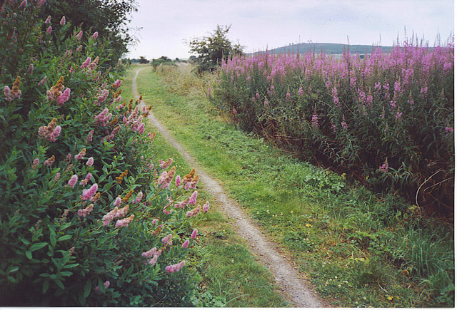
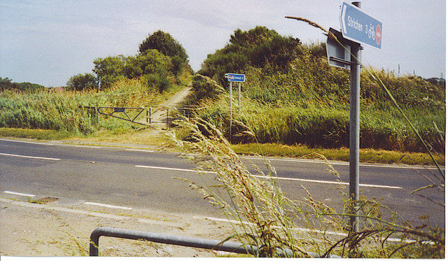
Hill of Forrest Images

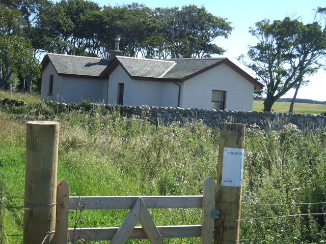
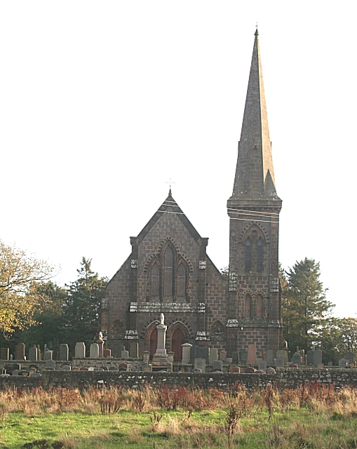
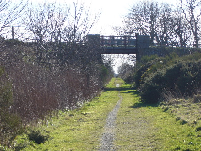
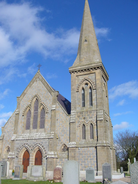
Images are sourced within 2km of 57.629731/-1.9951301 or Grid Reference NK0059. Thanks to Geograph Open Source API. All images are credited.

Minor road near Rathen
Minor road towards Quarryhead
Lane, Rathen Access to outlying residential properties with a hopelessly iced up car park on the left.
Lane, Rathen
Access to outlying residential properties with a hopelessly iced up car park on the left.
Field entrance, south of Rathen During a thaw and at the start of a warm spell the snow has gone, save for icy strips where it was compacted by agricultural vehicles.
Field entrance, south of Rathen
During a thaw and at the start of a warm spell the snow has gone, save for icy strips where it was compacted by agricultural vehicles.
Wetland, Rathen A small area of marsh remains near Brig o' Craigengorie.
Wetland, Rathen
A small area of marsh remains near Brig o' Craigengorie.
Rathen Primary School and Village Hall This small Buchan village was originally a farming community and most of its old buildings built of granite. The local Peterhead granite is pink.
Rathen Primary School and Village Hall
This small Buchan village was originally a farming community and most of its old buildings built of granite. The local Peterhead granite is pink.
Rathen, West Kirk The spire dominates the village and immediate vicinity. The Gothic style kirk dates from 1870 and replaced the older, ruined one, to the east. Beside the church is a derelict but'n'ben, an old single-storey, two-roomed cottage built of granite.
Rathen, West Kirk
The spire dominates the village and immediate vicinity. The Gothic style kirk dates from 1870 and replaced the older, ruined one, to the east. Beside the church is a derelict but'n'ben, an old single-storey, two-roomed cottage built of granite.
Rathen, Old Kirk The ruined St Ethernan's sits beside the modern Rathen West Kirk. Some of the remains are pre-Reformation when its patron was Alexander Fraser of Philorth (Philorth established the planned town of Fraserburgh). Behind the ruined kirk is Rathen House.
Rathen, Old Kirk
The ruined St Ethernan's sits beside the modern Rathen West Kirk. Some of the remains are pre-Reformation when its patron was Alexander Fraser of Philorth (Philorth established the planned town of Fraserburgh). Behind the ruined kirk is Rathen House.
In Rathen Scrubby field on the edge of the village. The roofs of scattered new cottages are visible above the trees. The ground is very dry due to the long, dry spell.
In Rathen
Scrubby field on the edge of the village. The roofs of scattered new cottages are visible above the trees. The ground is very dry due to the long, dry spell.
Buchan Line Walkway at Concraigs disused rail line, popular with walkers + cyclists ...and also ideal for joggers and their dogs
Buchan Line Walkway at Concraigs
disused rail line, popular with walkers + cyclists ...and also ideal for joggers and their dogs
'Lodge' house adjacent to Buchan Line on a minor road / old rail line crossing point
'Lodge' house adjacent to Buchan Line
on a minor road / old rail line crossing point
Rathen Kirk This is the 19th century kirk which replaced an older one, now in ruins.
Rathen Kirk
This is the 19th century kirk which replaced an older one, now in ruins.
Disused railway Now the Formartine and Buchan Way cyclepath
Disused railway
Now the Formartine and Buchan Way cyclepath
Kirk at Rathen
Kirk at Rathen
Rathen Church after the snow
The Edge of Rathen This small village has a mix of old and new cottages. Rathen is connected to the main A92 by the minor road above. Some of the gardens, like this one, stretch to the road verges. Beyond are some of the large cereal fields of Buchan, a very rich farming area.
The Edge of Rathen
This small village has a mix of old and new cottages. Rathen is connected to the main A92 by the minor road above. Some of the gardens, like this one, stretch to the road verges. Beyond are some of the large cereal fields of Buchan, a very rich farming area.
Lonmay, Old Formartine & Buchan Railway Lonmay once had a station on the Maud - Fraserburgh railway which was opened in 1965. Lonmay also has potatoes named after it eg Lonmay Pinks, which reflects well on this farming area in Buchan.
Lonmay, Old Formartine & Buchan Railway
Lonmay once had a station on the Maud - Fraserburgh railway which was opened in 1965. Lonmay also has potatoes named after it eg Lonmay Pinks, which reflects well on this farming area in Buchan.
A92 Crossing with the F&B Way A railway bridge once crossed this road, but today the Formartine 7 Buchan Way descends to ground level. The road is busy with refrigerated fish lorries thundering south from Fraserburgh ("The Broch") to the large UK cities and to France.
A92 Crossing with the F&B Way
A railway bridge once crossed this road, but today the Formartine 7 Buchan Way descends to ground level. The road is busy with refrigerated fish lorries thundering south from Fraserburgh ("The Broch") to the large UK cities and to France.
Show me another place!

Hill of Forrest is located at Grid Ref: NK0059 (Lat: 57.629731, Lng: -1.9951301)

Unitary Authority: Aberdeenshire

Police Authority: North East

What 3 Words

///workouts.birdcage.chaos. Near Fraserburgh, Aberdeenshire

Related Wikis

Rathen, Aberdeenshire

Rathen is a parish and hamlet near Fraserburgh, Aberdeenshire, Scotland. In Scottish Gaelic, its name means fort on the river.On the coast is Cairnbulg...

Cortes, Aberdeenshire

Cortes is a rural settlement in the Banff and Buchan area of Aberdeenshire, Scotland, situated in the parish of Rathen, 7.8 kilometres (4.8 mi) south of...

Lonmay railway station

Lonmay railway station was a railway station in Lonmay, Aberdeenshire. == History == The station was opened on 24 April 1865 by the Formartine and Buchan...

Lonmay

Lonmay (Scottish Gaelic: Lòn Magh) is a village and parish in the Buchan area of Aberdeenshire, Scotland. It lies along the A90 road, between Peterhead...

Nearby Amenities

Located within 500m of 57.629731,-1.9951301
Speed Camera
Ref: 1007
Website: http://www.nescamp.co.uk/details?cid=121
Lat/Long: 57.6268507/-1.9988647
Power: pole
Lat/Long: 57.6303021/-1.9958907
Power: pole
Lat/Long: 57.6331977/-2.0003539
Power: pole
Lat/Long: 57.6325257/-2.0001018
Power: pole
Lat/Long: 57.6318508/-1.9999355
Power: pole
Lat/Long: 57.630053/-1.9987232
Power: pole
Lat/Long: 57.6301736/-1.9973016
Power: pole
Lat/Long: 57.6303832/-1.9998604
Power: pole
Lat/Long: 57.6311299/-1.9998926
Power: pole
Lat/Long: 57.6261204/-1.9983501
Power: pole
Lat/Long: 57.6264122/-1.996955
Power: pole
Lat/Long: 57.6255662/-1.9944855
Power: pole
Lat/Long: 57.6256916/-1.9948436
Power: pole
Lat/Long: 57.626053/-1.9958983
Power: pole
Lat/Long: 57.6270317/-1.9974882
Power: pole
Lat/Long: 57.6276776/-1.9980549
Power: pole
Lat/Long: 57.6283687/-1.998659
Power: pole
Lat/Long: 57.6290039/-1.9992434
Power: pole
Lat/Long: 57.6296613/-1.999816
Power: pole
Lat/Long: 57.6290893/-2.0020867
Power: pole
Lat/Long: 57.62938/-2.0009415
Power: pole
Lat/Long: 57.630089/-1.9941687
Power: pole
Lat/Long: 57.6300732/-1.9934859
Power: pole
Lat/Long: 57.6300606/-1.99287
Power: pole
Lat/Long: 57.6300543/-1.9922738
Power: pole
Lat/Long: 57.6305483/-1.9941372
Power: pole
Lat/Long: 57.6310055/-1.9941018
The data included in this document is from www.openstreetmap.org. The data is made available under ODbL.

Have you been to Hill of Forrest?

Leave your review of Hill of Forrest below (or comments, questions and feedback).