Wood Hill

Hill, Mountain in Wiltshire

England

Wood Hill

Brinkworth, B4042, Milestone On the southern side of B4042 entrance and RHS of a former entrance. On the Eastern side of Brinkworth. 299.9 ft Above Sea Level (in 1884)
Erected by the Malmesbury Turnpike Trust.

Inscription: Swindon / 11 / Miles / Malmesb,y / 5 / Miles

Grade II listed July 1987  Nᴼ 1022212  see <span class="nowrap"><a title="https://historicengland.org.uk/listing/the-list/list-entry/1022212" rel="nofollow ugc noopener" href="https://historicengland.org.uk/listing/the-list/list-entry/1022212">Link</a><img style="margin-left:2px;" alt="External link" title="External link - shift click to open in new window" src="https://s1.geograph.org.uk/img/external.png" width="10" height="10"/></span>

Milestone Society National ID: WI_SNMY11
Brinkworth, B4042, Milestone Credit: Tom Blanden

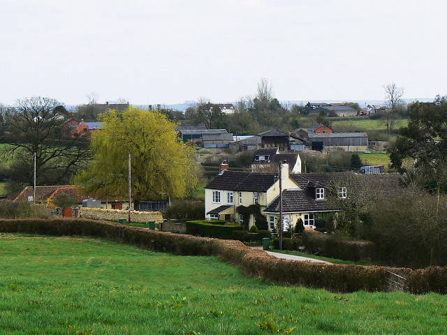
Wood Hill is a prominent hill located in the county of Wiltshire in England. Situated near the town of Marlborough, it is known for its picturesque views and natural beauty. Standing at an elevation of 220 meters (720 feet), Wood Hill offers stunning vistas of the surrounding countryside and is a popular destination for hikers and nature enthusiasts.

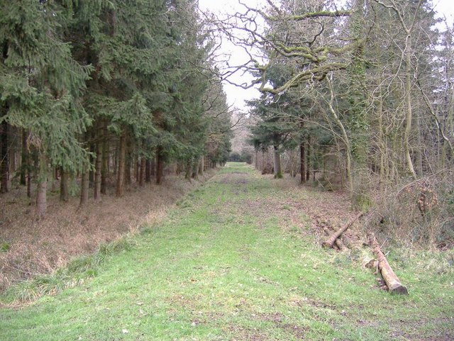
The hill is covered in dense woodlands, primarily consisting of oak and beech trees, which provide a habitat for a variety of wildlife including deer, foxes, and birds of prey. The area is also home to a range of flora and fauna, making it a haven for biodiversity.

Visitors to Wood Hill can enjoy a network of walking trails that wind their way through the woods and up to the summit, where they can take in panoramic views of the rolling hills and valleys below. On a clear day, it is possible to see as far as the nearby Ridgeway and Salisbury Plain.

Overall, Wood Hill is a peaceful and tranquil spot that offers a chance to escape the hustle and bustle of everyday life and connect with nature in a beautiful setting.

If you have any feedback on the listing, please let us know in the comments section below.
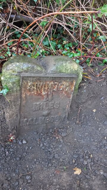
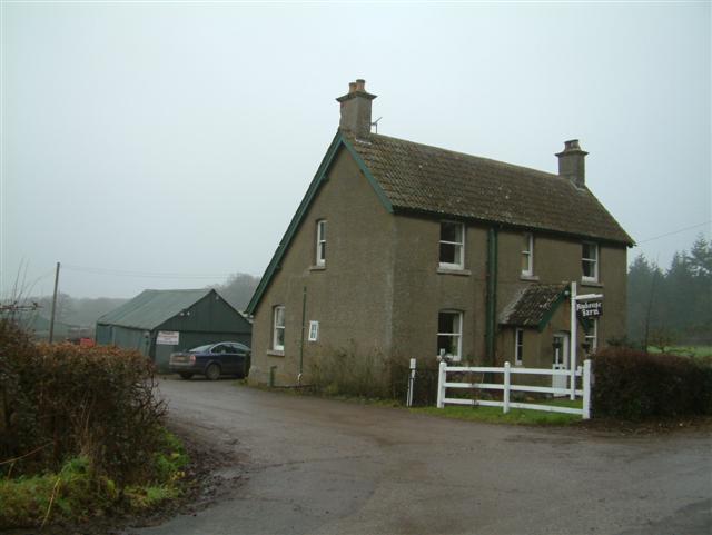
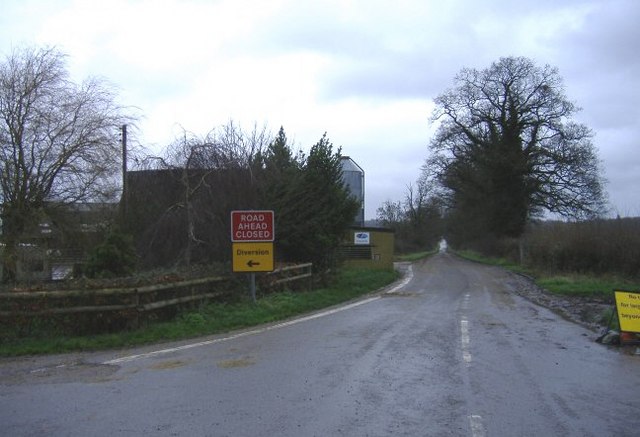
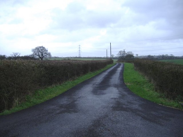
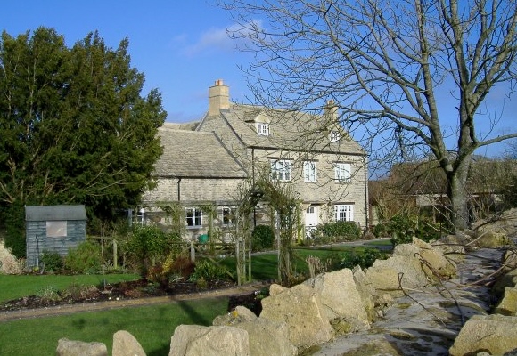
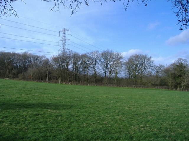
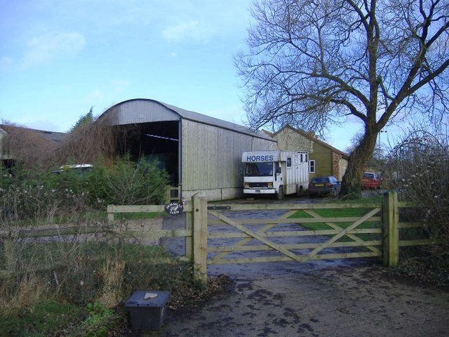
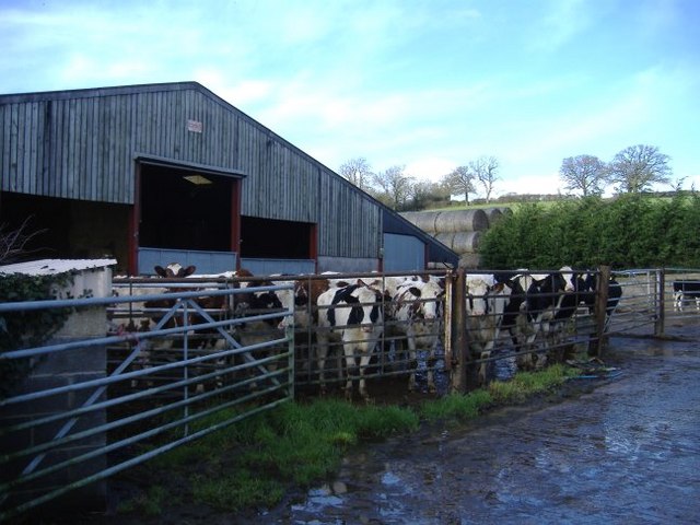
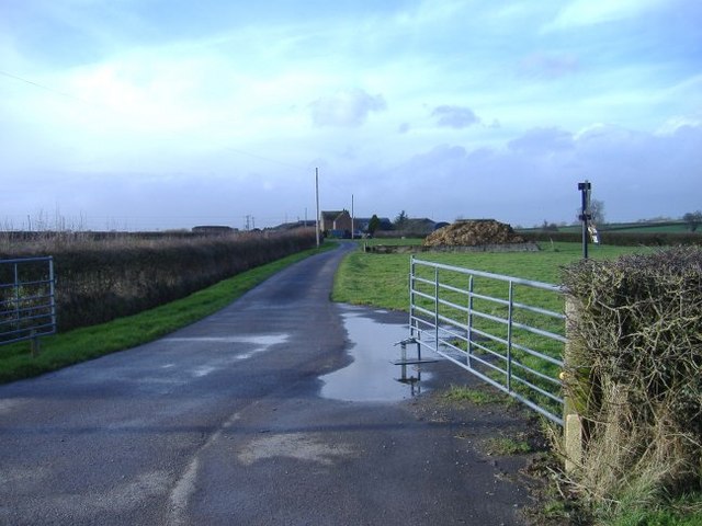
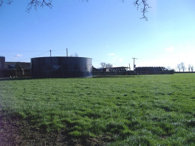
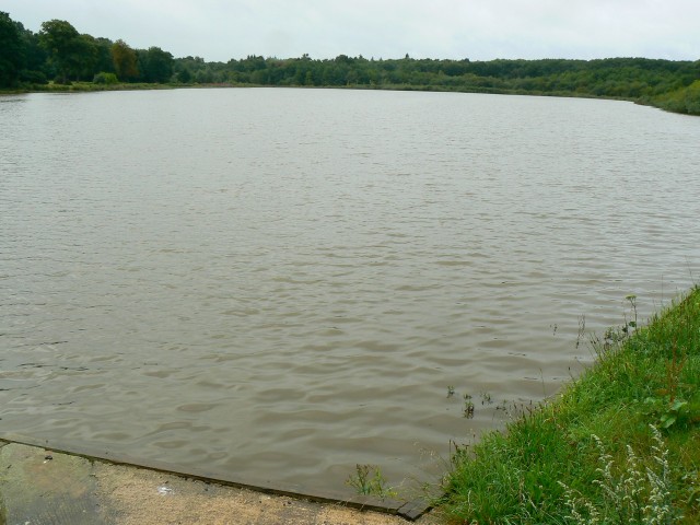
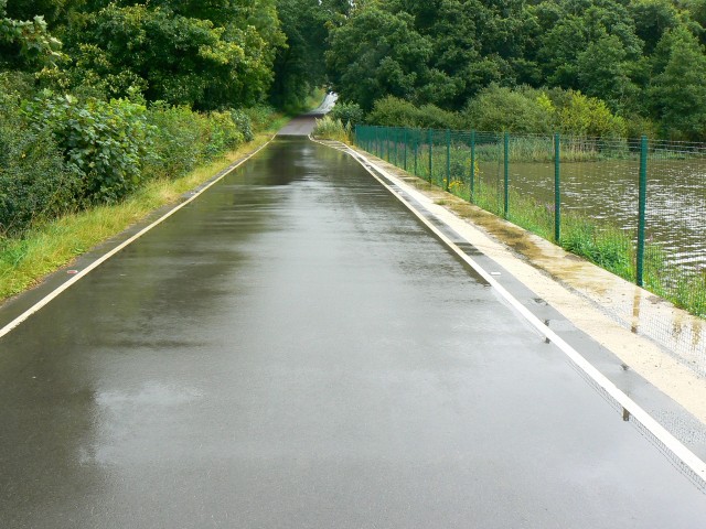
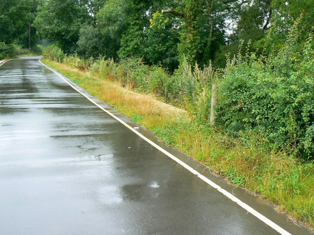
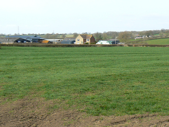
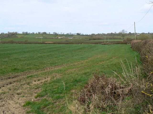
Wood Hill Images

Images are sourced within 2km of 51.578587/-2.0020443 or Grid Reference ST9986. Thanks to Geograph Open Source API. All images are credited.

Brinkworth, B4042, Milestone On the southern side of B4042 entrance and RHS of a former entrance. On the Eastern side of Brinkworth. 299.9 ft Above Sea Level (in 1884)
Erected by the Malmesbury Turnpike Trust.

Inscription: Swindon / 11 / Miles / Malmesb,y / 5 / Miles

Grade II listed July 1987  Nᴼ 1022212  see <span class="nowrap"><a title="https://historicengland.org.uk/listing/the-list/list-entry/1022212" rel="nofollow ugc noopener" href="https://historicengland.org.uk/listing/the-list/list-entry/1022212">Link</a><img style="margin-left:2px;" alt="External link" title="External link - shift click to open in new window" src="https://s1.geograph.org.uk/img/external.png" width="10" height="10"/></span>

Milestone Society National ID: WI_SNMY11
Brinkworth, B4042, Milestone
On the southern side of B4042 entrance and RHS of a former entrance. On the Eastern side of Brinkworth. 299.9 ft Above Sea Level (in 1884) Erected by the Malmesbury Turnpike Trust. Inscription: Swindon / 11 / Miles / Malmesb,y / 5 / Miles Grade II listed July 1987 Nᴼ 1022212 see LinkExternal link Milestone Society National ID: WI_SNMY11
New House Farm
New House Farm
Long-term road closure This minor road near Braydon has been closed for over five years. The road runs along the top of a lake embankment, which had deteriorated badly. Vital work is being undertaken to strengthen the embankment which holds back Braydon Pond.
Long-term road closure
This minor road near Braydon has been closed for over five years. The road runs along the top of a lake embankment, which had deteriorated badly. Vital work is being undertaken to strengthen the embankment which holds back Braydon Pond.
The road to Turk's farm A recently metalled farm road.
The road to Turk's farm
A recently metalled farm road.
Manor farm, Cleverton A recently refurbished farmhouse, to the north east of the hamlet.
Manor farm, Cleverton
A recently refurbished farmhouse, to the north east of the hamlet.
Woodbridge copse The National grid cuts through the North Wiltshire countryside.
Woodbridge copse
The National grid cuts through the North Wiltshire countryside.
Horsells farm An appropriately named farm, in the centre of prime foxhunting territory.
Horsells farm
An appropriately named farm, in the centre of prime foxhunting territory.
Cattle at Horsells farm Showing a keen interest in photography.
Cattle at Horsells farm
Showing a keen interest in photography.
West End farm Can be seen, unsurprisingly, looking in a westerly direction, at the end of the farm lane.....
West End farm
Can be seen, unsurprisingly, looking in a westerly direction, at the end of the farm lane.....
Clitchbury farm The working part of the farm, including a huge slurry tank.
Clitchbury farm
The working part of the farm, including a huge slurry tank.
Braydon Wood Access track / firebreak in this private wood.
Braydon Wood
Access track / firebreak in this private wood.
Braydon Pond, North Wiltshire The pond is located at a point at the centre of the triangle formed by Brinkworth, Charlton and Minety. Until recently the road past the pond was closed to allow engineering work to take place. The outfall from the pond is just visible at the bottom of the image.
Braydon Pond, North Wiltshire
The pond is located at a point at the centre of the triangle formed by Brinkworth, Charlton and Minety. Until recently the road past the pond was closed to allow engineering work to take place. The outfall from the pond is just visible at the bottom of the image.
The road to Minety past Braydon Pond The road has recently been re-opened after extended engineering work to strengthen the edge of it where it abuts the pond seen at the right. The road was resurfaced at that time.
The road to Minety past Braydon Pond
The road has recently been re-opened after extended engineering work to strengthen the edge of it where it abuts the pond seen at the right. The road was resurfaced at that time.
The road to Charlton past Braydon Pond The recently re-surfaced road leads indirectly to Charlton. Turn right at the T junction that you will meet in about a kilometre from here and follow the signs.
The road to Charlton past Braydon Pond
The recently re-surfaced road leads indirectly to Charlton. Turn right at the T junction that you will meet in about a kilometre from here and follow the signs.
West End Farm, east of Cleverton The farm is probably mainly dairying to judge from the stockpile of silage near the farmhouse.
West End Farm, east of Cleverton
The farm is probably mainly dairying to judge from the stockpile of silage near the farmhouse.
Farmland, east of Cleverton The farmland is associated with West End Farm. The farm in the distance is Sundey Hill Farm.
Farmland, east of Cleverton
The farmland is associated with West End Farm. The farm in the distance is Sundey Hill Farm.
Field east of Lea It's actually nearer Cleverton, another place no-one is likely to have heard of, but to use it in the title would make it a bit long as the field is north north east of it.
Field east of Lea
It's actually nearer Cleverton, another place no-one is likely to have heard of, but to use it in the title would make it a bit long as the field is north north east of it.
West End Farm, near Cleverton The same farm as in this image but from a different viewpoint <a title="https://www.geograph.org.uk/photo/1221176" href="https://www.geograph.org.uk/photo/1221176">Link</a>
West End Farm, near Cleverton
The same farm as in this image but from a different viewpoint Link
Show me another place!

Wood Hill is located at Grid Ref: ST9986 (Lat: 51.578587, Lng: -2.0020443)

Unitary Authority: Wiltshire

Police Authority: Wiltshire

What 3 Words

///readers.marmalade.sunbeam. Near Charlton, Wiltshire

Nearby Locations

Dollaker's Green Wood Hill

Related Wikis

Braydon Side

Braydon Side is a farming hamlet in north Wiltshire, England, in the parish of Brinkworth. It lies about 0.9 miles (1.4 km) north of Brinkworth village...

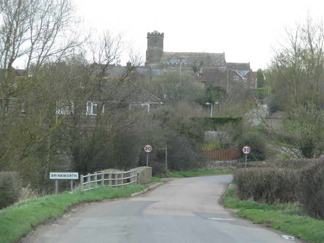
Brinkworth, Wiltshire

Brinkworth is a village and civil parish in northern Wiltshire, England. The village lies between Royal Wootton Bassett and Malmesbury, about 1 mile (1...

Ravensroost Wood

Ravensroost Wood (grid reference SU022882) is a 43.7 hectare biological Site of Special Scientific Interest in north Wiltshire, England. The site lies...

Emmett Hill Meadows

Emmett Hill Meadows (grid reference SU009901) is a 5.1 hectare biological Site of Special Scientific Interest in Wiltshire, notified in 1987. The site...

Related Videos

Wedding Vintage photo booth and Wedding disco at  @winkworthfarm  #weddingdj #weddingphotobooth

A brief video of our awesome wedding vintage photo booth and wedding disco setup at the awesome @winkworthfarm wedding ...

Nearby Amenities

Located within 500m of 51.578587,-2.0020443
Wood Hill
Ele: 117
Natural: peak
Lat/Long: 51.5786497/-2.0030031
The data included in this document is from www.openstreetmap.org. The data is made available under ODbL.

Have you been to Wood Hill?

Leave your review of Wood Hill below (or comments, questions and feedback).