Airbrough Hill
Hill, Mountain in Northumberland
England
Airbrough Hill

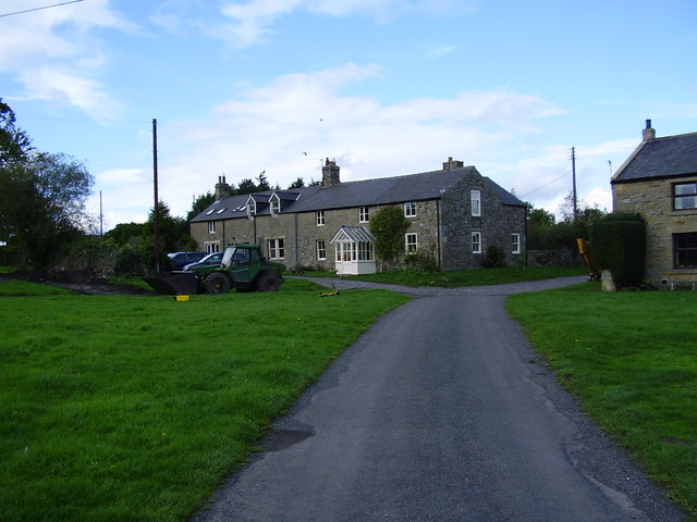
Airbrough Hill is a prominent natural feature located in the county of Northumberland, England. Rising to an elevation of approximately 455 meters (1,492 feet), it is classified as a hill rather than a mountain due to its modest height. Situated within the North Pennines Area of Outstanding Natural Beauty, Airbrough Hill offers breathtaking panoramic views of the surrounding landscape.
The hill is composed primarily of sedimentary rocks, such as sandstone and limestone, which were formed millions of years ago during geological processes. These rocks contribute to the distinctive appearance of Airbrough Hill, characterized by rugged slopes and rocky outcrops.
The hill is covered in a diverse range of vegetation, including grasses, heather, and shrubs that add to its scenic beauty. This natural habitat provides a home for numerous species of birds, small mammals, and insects, making it a popular destination for wildlife enthusiasts.
Airbrough Hill is also steeped in history and has archaeological significance. The area has been inhabited by humans for thousands of years, as evidenced by the presence of ancient settlements, burial mounds, and stone circles in the vicinity. These remnants of the past add an element of intrigue and mystique to the hill.
Due to its accessibility and stunning vistas, Airbrough Hill attracts outdoor enthusiasts, hikers, and nature lovers alike. Several walking trails traverse the hill, allowing visitors to explore its diverse landscape and soak in the awe-inspiring views. The hill's location within the North Pennines Area of Outstanding Natural Beauty ensures its preservation for future generations to enjoy.
If you have any feedback on the listing, please let us know in the comments section below.
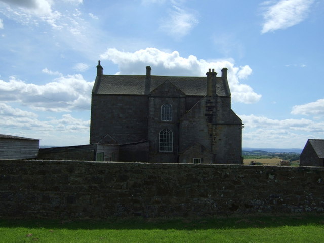
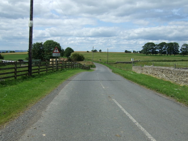
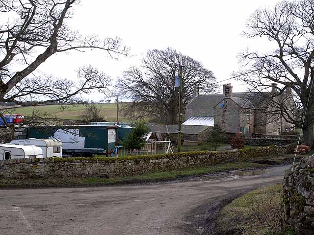
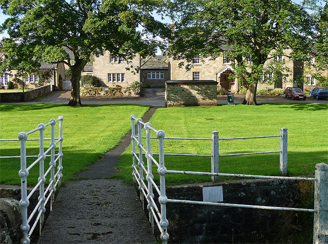
Airbrough Hill Images
Images are sourced within 2km of 55.059869/-2.0027411 or Grid Reference NY9973. Thanks to Geograph Open Source API. All images are credited.


Airbrough Hill is located at Grid Ref: NY9973 (Lat: 55.059869, Lng: -2.0027411)
Unitary Authority: Northumberland
Police Authority: Northumbria
What 3 Words
///reservoir.less.shark. Near Corbridge, Northumberland
Nearby Locations
Related Wikis

Ryal, Northumberland
Ryal or Ryall is a village and former civil parish about 13 miles from Hexham, now in the parish of Matfen, in the county of Northumberland, England. In...

Hallington, Northumberland
Hallington is a hamlet and former civil parish about 9 miles from Hexham, now in the parish of Whittington, in the county of Northumberland, England. In...
Bingfield
Bingfield is a village and former civil parish, now in the parish of Whittington, in Northumberland, in England. It is situated to the north of Corbridge...

Great Whittington
Great Whittington is a village and former civil parish, now in the parish of Whittington, in Northumberland, England, 7 miles NE of Hexham. In 1951 the...
Matfen
Matfen is a village and a civil parish in Northumberland, England, near the town of Hexham and the city of Newcastle upon Tyne. It is an example of a 19th...

Hallington Reservoirs
Hallington Reservoirs are located near the small village of Colwell, Northumberland, England on the B6342 road off the A68 road, and 7 miles (11 km) north...
Kirkheaton, Northumberland
Kirkheaton (English: ) is a village and former civil parish, now in the parish of Capheaton, in the county of Northumberland, England. The village lies...

Dere Street
Dere Street or Deere Street is a modern designation of a Roman road which ran north from Eboracum (York), crossing the Stanegate at Corbridge (Hadrian...
Nearby Amenities
Located within 500m of 55.059869,-2.0027411Have you been to Airbrough Hill?
Leave your review of Airbrough Hill below (or comments, questions and feedback).