Mill Hill

Hill, Mountain in Yorkshire Richmondshire

England

Mill Hill

Looking towards Ivy Scar Looking towards Ivy Scar from The Straights.
Looking towards Ivy Scar Credit: T Eyre

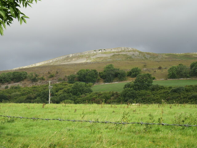
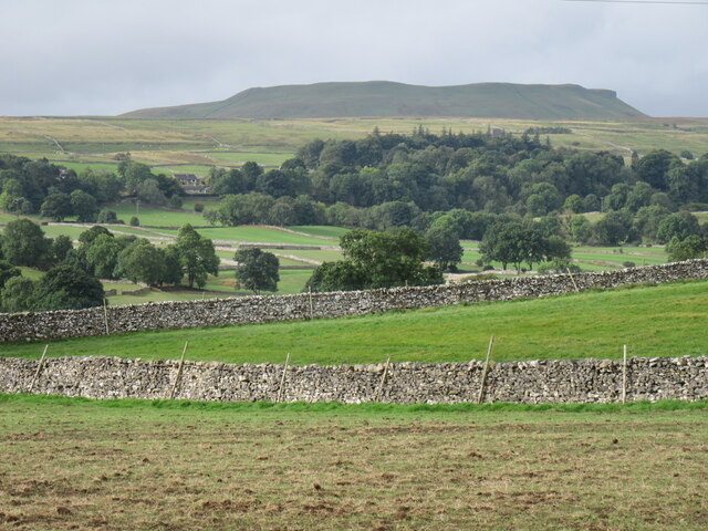
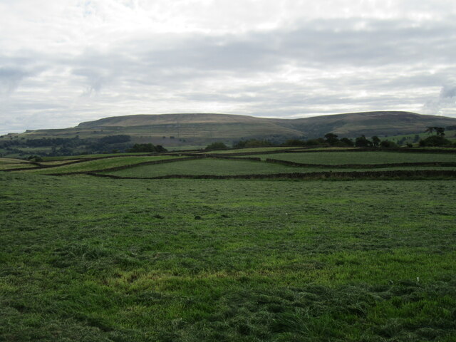
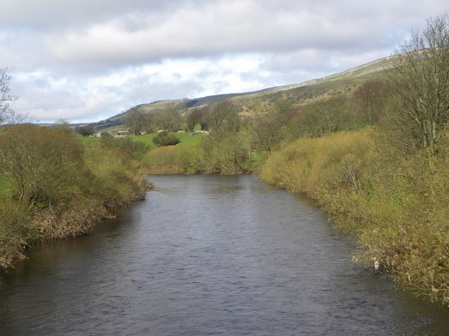
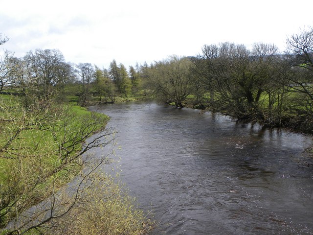
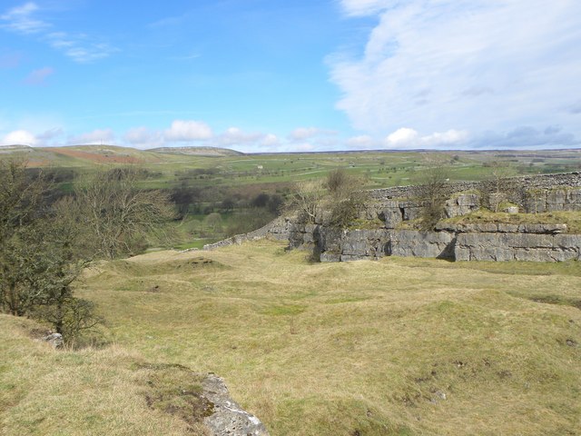
Mill Hill is a picturesque hill located in the region of Yorkshire, England. Situated in the county of North Yorkshire, Mill Hill stands at an elevation of approximately 250 meters above sea level, making it a prominent landmark in the area. Offering breathtaking views of the surrounding countryside, this hill is a popular destination for nature enthusiasts and hikers.

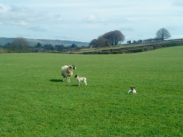
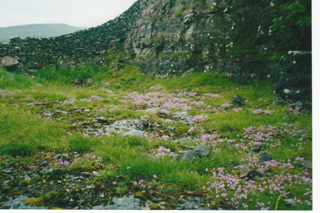
The hill itself is characterized by its rolling green slopes and is adorned with a variety of flora and fauna, making it a haven for wildlife. It is home to several species of birds, including songbirds and birds of prey, providing an opportunity for birdwatchers to observe and appreciate the local avian population.

Mill Hill is also steeped in history, with evidence of human occupation dating back thousands of years. Archaeological findings suggest that the area was inhabited during the Neolithic period, and remnants of ancient settlements and burial mounds have been discovered on its slopes.

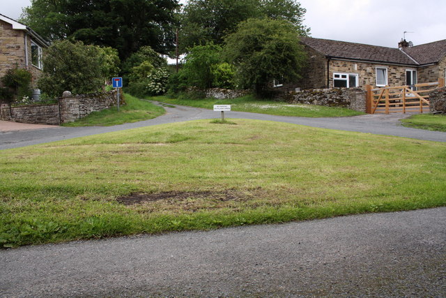
In addition to its natural beauty and historical significance, Mill Hill offers various recreational activities for visitors. There are numerous walking trails that meander through the hill, allowing individuals to explore its scenic surroundings at their own pace. The hill is also a favored spot for picnics, offering a tranquil setting for families and friends to gather and enjoy a meal amidst nature.

Overall, Mill Hill in Yorkshire is a captivating destination that seamlessly blends natural beauty, historical significance, and recreational opportunities. Whether one seeks a peaceful retreat or an adventurous hike, this hill provides an enriching experience for all who venture to its slopes.

If you have any feedback on the listing, please let us know in the comments section below.
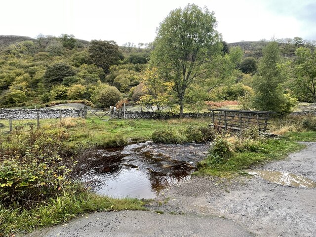
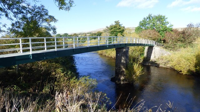
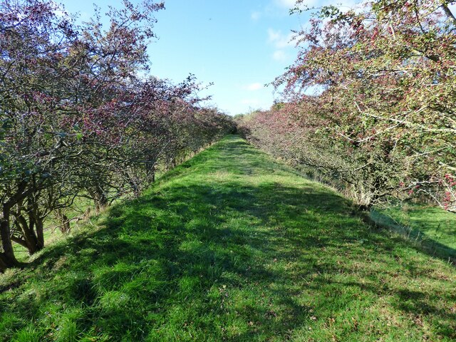
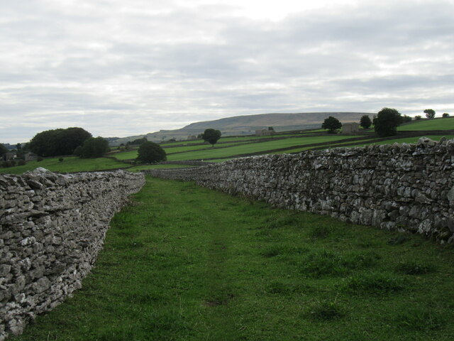
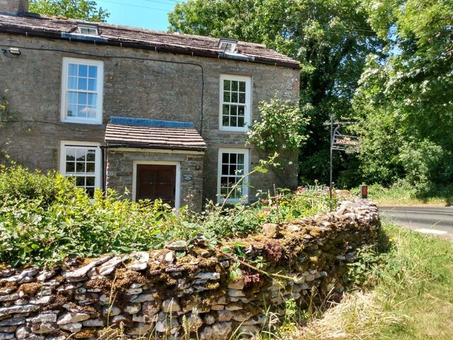
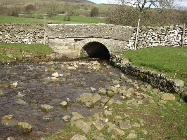
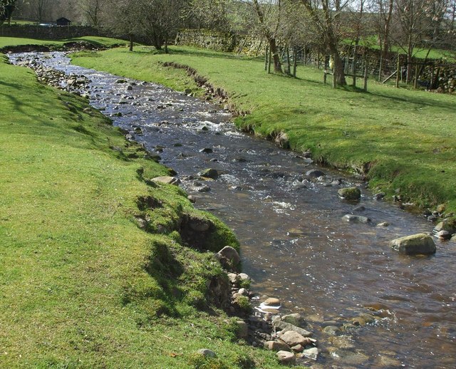
Mill Hill Images

Images are sourced within 2km of 54.299942/-2.006527 or Grid Reference SD9989. Thanks to Geograph Open Source API. All images are credited.

Looking towards Ivy Scar Looking towards Ivy Scar from The Straights.
Looking towards Ivy Scar
Looking towards Ivy Scar from The Straights.
Woodhall Park Looking towards Addleborough.
Woodhall Park
Looking towards Addleborough.
River Ure near Aysgarth Looking downstream with Penhill in the distance.
River Ure near Aysgarth
Looking downstream with Penhill in the distance.
Footbridge over the River Ure Footbridge over the River Ure near Aysgarth.
Footbridge over the River Ure
Footbridge over the River Ure near Aysgarth.
Ballowfield Ford This ford is found just off The Straights beside Ballowfield Nature Reserve.
Ballowfield Ford
This ford is found just off The Straights beside Ballowfield Nature Reserve.
Footbridge over the River Ure
Disused Wensleydale railway embankment
Limekiln Lane A footpath enclosed by walls near Aysgarth.
Limekiln Lane
A footpath enclosed by walls near Aysgarth.
Folly Lane view Looking east from Folly Lane.
Folly Lane view
Looking east from Folly Lane.
The Gatehouse, Aysgarth On "The Straights" near Ballowfield Bridge (across Eller Beck).
Due South of Mill Hill labelled "Gate House" 1910 and Ballowfield T.P. in 1858 (665 ft ASL). 
The property served the Richmond & Lancaster (Eastern District) Turnpike Trust in the 18ᵗʰ & 19ᵗʰ C.

Milestone Society National ID: YN.AYS
The Gatehouse, Aysgarth
On "The Straights" near Ballowfield Bridge (across Eller Beck). Due South of Mill Hill labelled "Gate House" 1910 and Ballowfield T.P. in 1858 (665 ft ASL). The property served the Richmond & Lancaster (Eastern District) Turnpike Trust in the 18ᵗʰ & 19ᵗʰ C. Milestone Society National ID: YN.AYS
Lowgill Bridge Small stone bridge that allows the A684 to cross over Gill Beck.
Lowgill Bridge
Small stone bridge that allows the A684 to cross over Gill Beck.
Gill Beck Flowing through the pastures at Seata.
Gill Beck
Flowing through the pastures at Seata.
The Ure at Ballowfield Looking upstream from the footbridge near Seata Farm.
The Ure at Ballowfield
Looking upstream from the footbridge near Seata Farm.
The Ure heading for Aysgarth Looking downstream along the Ure from the footbridge near Seata Farm.
The Ure heading for Aysgarth
Looking downstream along the Ure from the footbridge near Seata Farm.
Seata Quarry A general view across this old limestone quarry to the west of Aysgarth. Now a nature reserve with interesting plant species.
Seata Quarry
A general view across this old limestone quarry to the west of Aysgarth. Now a nature reserve with interesting plant species.
Lambs pose in the sunshine Lambs in the pastures above Seata Quarry.
Lambs pose in the sunshine
Lambs in the pastures above Seata Quarry.
Disused Seata Quarry floor with a good cover of Saxifrage in 2002
The small village green
Show me another place!

Mill Hill is located at Grid Ref: SD9989 (Lat: 54.299942, Lng: -2.006527)

Division: North Riding

Administrative County: North Yorkshire

District: Richmondshire

Police Authority: North Yorkshire

What 3 Words

///jumbo.foreheads.premature. Near Leyburn, North Yorkshire

Nearby Locations

Mill Hill

Related Wikis

A684 road

The A684 is an A road that runs through Cumbria and North Yorkshire, starting at Kendal, Cumbria and ending at Ellerbeck and the A19 road in North Yorkshire...

Carperby

Carperby is a village in the Yorkshire Dales, North Yorkshire, England. It lies 7 miles (11 km) west of Leyburn. == Etymology == The derivation of the...

Carperby-cum-Thoresby

Carperby-cum-Thoresby is a civil parish in the Richmondshire district of North Yorkshire, England. The parish contains the village of Carperby and the...

Aysgarth

Aysgarth is a village and civil parish in Wensleydale, in North Yorkshire, England. The village is in the Yorkshire Dales National Park, about 16 miles...

Nearby Amenities

Located within 500m of 54.299942,-2.006527
Barrier: stile
Lat/Long: 54.2990042/-2.0132748
Power: pole
Source: Bing
Lat/Long: 54.3035918/-2.0034601
Power: pole
Source: Bing
Lat/Long: 54.300086/-2.0128425
Power: pole
Source: Bing
Lat/Long: 54.3016073/-2.0004908
Power: pole
Source: Bing
Lat/Long: 54.2993722/-2.0092213
Power: pole
Source: Bing
Lat/Long: 54.3041615/-2.0046188
Power: pole
Source: Bing
Lat/Long: 54.2998261/-2.009082
Power: pole
Source: Bing
Lat/Long: 54.302177/-2.0020332
Power: pole
Source: Bing
Lat/Long: 54.3014242/-2.0016012
Power: pole
Source: Bing
Lat/Long: 54.2987931/-2.0094306
Power: pole
Source: Bing
Lat/Long: 54.30005/-2.0080573
Power: pole
Source: Bing
Lat/Long: 54.3026027/-2.0022585
Power: pole
Source: Bing
Lat/Long: 54.3008623/-2.0039937
Power: pole
Source: Bing
Lat/Long: 54.3003098/-2.006692
Power: pole
Source: Bing
Lat/Long: 54.3006119/-2.0052275
Power: pole
Source: Bing
Lat/Long: 54.3011612/-2.0026768
Power: pole
Source: Bing
Lat/Long: 54.299895/-2.0114799
Barrier: stile
Lat/Long: 54.2976723/-1.9998988
Ford: stepping_stones
Lat/Long: 54.2973511/-2.010488
The data included in this document is from www.openstreetmap.org. The data is made available under ODbL.

Have you been to Mill Hill?

Leave your review of Mill Hill below (or comments, questions and feedback).