Black Hill

Hill, Mountain in Aberdeenshire

Scotland

Black Hill

Mormond hill A track on the hill
Mormond hill Credit: Ralph Greig

Black Hill is a prominent hill located in the picturesque region of Aberdeenshire, Scotland. Standing at an impressive height of approximately 1,024 feet (312 meters), it is classified as a hill rather than a mountain. It is situated in the eastern part of the Cairngorms National Park, offering breathtaking views of the surrounding landscape.

The hill is characterized by its distinctive black appearance, which is due to the presence of dark-colored rock formations. These rocks, composed mainly of granite and gneiss, give Black Hill its name and contribute to its unique aesthetic appeal. The hill is also covered in heather and grass, creating a beautiful contrast against the dark rocks.

To reach the summit of Black Hill, there are several hiking trails available to outdoor enthusiasts. These trails range in difficulty, catering to both experienced hikers and beginners. As visitors ascend the hill, they are rewarded with panoramic vistas of the surrounding countryside, including the nearby River Don and the rolling hills of Aberdeenshire.

Black Hill is not only a popular destination for hikers and nature lovers but also offers an opportunity for wildlife enthusiasts. The area is home to a diverse range of fauna, including red deer, mountain hares, and various bird species such as ptarmigans and golden eagles.

Overall, Black Hill in Aberdeenshire is a stunning natural landmark that offers a rewarding outdoor experience. Its striking appearance, diverse wildlife, and panoramic views make it a must-visit destination for those exploring the beauty of Scotland's countryside.

If you have any feedback on the listing, please let us know in the comments section below.
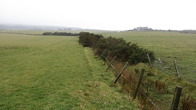
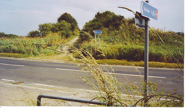
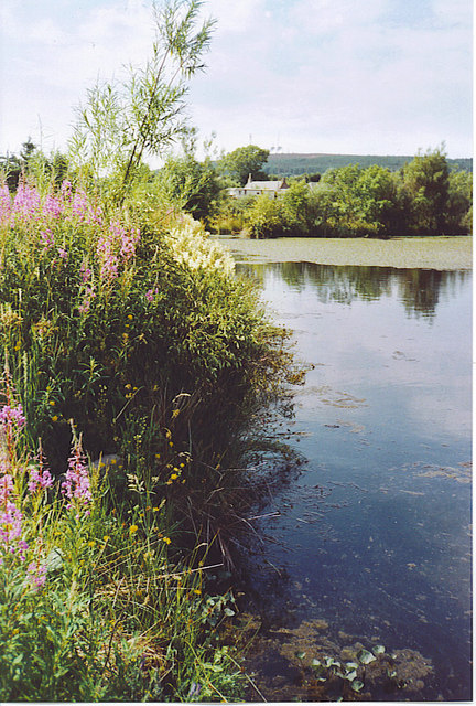
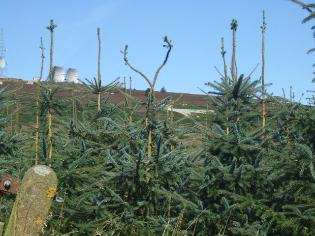
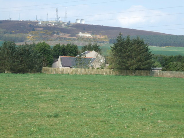
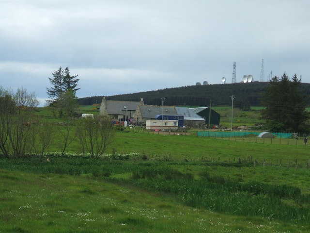
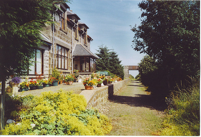
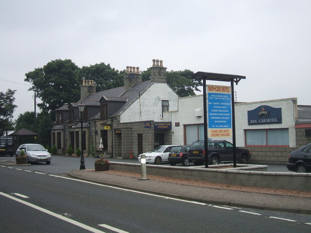
Black Hill Images

Images are sourced within 2km of 57.603565/-2.0127196 or Grid Reference NJ9957. Thanks to Geograph Open Source API. All images are credited.

Mormond hill A track on the hill
Mormond hill
A track on the hill
Up close to the white Stag
Track on Mormond Hill
Forestry on Mormond Hill
Track around the communications masts on Mormond Hill
Track around the masts on Mormond Hill
Security fence on Mormond Hill
Ditch under Mormond Hill Looking over grassland towards a cloud covered Mormond Hill.
Ditch under Mormond Hill
Looking over grassland towards a cloud covered Mormond Hill.
A92 Crossing with the F&B Way A railway bridge once crossed this road, but today the Formartine 7 Buchan Way descends to ground level. The road is busy with refrigerated fish lorries thundering south from Fraserburgh ("The Broch") to the large UK cities and to France.
A92 Crossing with the F&B Way
A railway bridge once crossed this road, but today the Formartine 7 Buchan Way descends to ground level. The road is busy with refrigerated fish lorries thundering south from Fraserburgh ("The Broch") to the large UK cities and to France.
Pond on the F&B Way This attractive pond is by Kilbirnie Farm, on the Formartine & Buchan Way, west of Lonmay. Water lilies cover the far end of the water while fireweed coats the bank by the old railway line.
Pond on the F&B Way
This attractive pond is by Kilbirnie Farm, on the Formartine & Buchan Way, west of Lonmay. Water lilies cover the far end of the water while fireweed coats the bank by the old railway line.
Bales near Satyrhills Farm Seen from the F&B Way, the harvest is under way below the eastern slopes of Mormond Hill.
Bales near Satyrhills Farm
Seen from the F&B Way, the harvest is under way below the eastern slopes of Mormond Hill.
Formartine & Buchan Way, Whiteside The old railway bridge still carries the farm road to Whiteside (left, off photo). The banks of the old railway line are covered in rosebay willow herb (fireweed).
Formartine & Buchan Way, Whiteside
The old railway bridge still carries the farm road to Whiteside (left, off photo). The banks of the old railway line are covered in rosebay willow herb (fireweed).
Mormond Hill This hill is the great landmark of Buchan. It rises above the surrounding farmland and is more distinctive for the range of masts it carries, and for the figures carved on its slopes. It was a cold war listening / defence early warning post for the RAF. Above, small forest plantations line the F&B Way, the old railway line between Strichen and Lonmay.
Mormond Hill
This hill is the great landmark of Buchan. It rises above the surrounding farmland and is more distinctive for the range of masts it carries, and for the figures carved on its slopes. It was a cold war listening / defence early warning post for the RAF. Above, small forest plantations line the F&B Way, the old railway line between Strichen and Lonmay.
Mormond Station The old station building is now a house on the Formartine & Buchan Way, the long distance path, between Strichen and Fraserburgh. The old railway bridge here still carries mainly farm traffic.
Mormond Station
The old station building is now a house on the Formartine & Buchan Way, the long distance path, between Strichen and Fraserburgh. The old railway bridge here still carries mainly farm traffic.
Buchan Line, view to Mormond Hill Stag figure on hillside and communications paraphernalia on hilltop.
Buchan Line, view to Mormond Hill
Stag figure on hillside and communications paraphernalia on hilltop.
Buchan Line, view to Middlemuir Farm
Cottages at Cairnchina ....with Mormond Hill providing the backdrop
Cottages at Cairnchina
....with Mormond Hill providing the backdrop
Newtown Farm In the shadow of Mormond Hill.
Personal note. This farm worked by the Geographer's Grandfather from the 1930s to the 1960s
Newtown Farm
In the shadow of Mormond Hill. Personal note. This farm worked by the Geographer's Grandfather from the 1930s to the 1960s
Show me another place!

Black Hill is located at Grid Ref: NJ9957 (Lat: 57.603565, Lng: -2.0127196)

Unitary Authority: Aberdeenshire

Police Authority: North East

What 3 Words

///manifests.sitting.croaking. Near Mintlaw, Aberdeenshire

Related Wikis

Mormond Halt railway station

Mormond Halt railway station was a railway station near New Leeds, Aberdeenshire. == History == The station was opened as Mormond on 24 April 1865. It...

New Leeds

New Leeds is a planned village in the Buchan area of Aberdeenshire, Scotland, situated 5.1 kilometres (3.2 mi) east of Strichen at the foot of Mormond...

Cortes, Aberdeenshire

Cortes is a rural settlement in the Banff and Buchan area of Aberdeenshire, Scotland, situated in the parish of Rathen, 7.8 kilometres (4.8 mi) south of...

Lonmay

Lonmay (Scottish Gaelic: Lòn Magh) is a village and parish in the Buchan area of Aberdeenshire, Scotland. It lies along the A90 road, between Peterhead...

Nearby Amenities

Located within 500m of 57.603565,-2.0127196
Generator Method: wind_turbine
Generator Output Electricity: yes
Generator Source: wind
Generator Type: horizontal_axis
Power: generator
Lat/Long: 57.6034741/-2.0132875
Power: pole
Lat/Long: 57.6061068/-2.0071882
Power: pole
Lat/Long: 57.6060363/-2.0065203
Power: pole
Lat/Long: 57.6059472/-2.0056942
Power: pole
Lat/Long: 57.6004375/-2.0075637
Power: pole
Lat/Long: 57.6022555/-2.0137677
Power: pole
Lat/Long: 57.6019796/-2.0128664
Power: pole
Lat/Long: 57.6016821/-2.0118874
Power: pole
Lat/Long: 57.6013774/-2.0108011
Power: pole
Lat/Long: 57.6010699/-2.0098007
Power: pole
Lat/Long: 57.6007912/-2.0087375
Power: pole
Lat/Long: 57.6004865/-2.0075274
Power: pole
Lat/Long: 57.6023379/-2.005601
Power: pole
Lat/Long: 57.6017348/-2.0062937
Power: pole
Lat/Long: 57.6011296/-2.0070335
The data included in this document is from www.openstreetmap.org. The data is made available under ODbL.

Have you been to Black Hill?

Leave your review of Black Hill below (or comments, questions and feedback).