Bainbridge Hill

Hill, Mountain in Durham

England

Bainbridge Hill

Wooden fence alongside bridleway The bridleway is on the north side of the Burnhope Burn and has come from the direction of Edmundbyers to reach the stream issuing from Swan Dale. It crosses the stream by a ford which shows in the image as the water to the left of the fence angle.
Wooden fence alongside bridleway Credit: Trevor Littlewood

Bainbridge Hill is a prominent geographical feature located in Durham, a historic city in northeast England. Situated in the eastern part of the city, Bainbridge Hill is classified as a hill or mountain due to its significant elevation and steep slopes. The hill is named after Bainbridge, a nearby village that lies at its base.

Rising to an impressive height of approximately 260 meters (850 feet) above sea level, Bainbridge Hill offers stunning panoramic views of the surrounding countryside and the cityscape of Durham. Its vantage point makes it a popular spot for tourists and locals alike, who often visit to enjoy the picturesque scenery and take in the breathtaking vistas.

The hill itself is covered in lush green vegetation, with dense forests and trees adorning its slopes. It is home to a diverse range of flora and fauna, attracting nature enthusiasts and wildlife observers. The area surrounding Bainbridge Hill is also known for its high ecological value, providing habitat for numerous species of plants and animals.

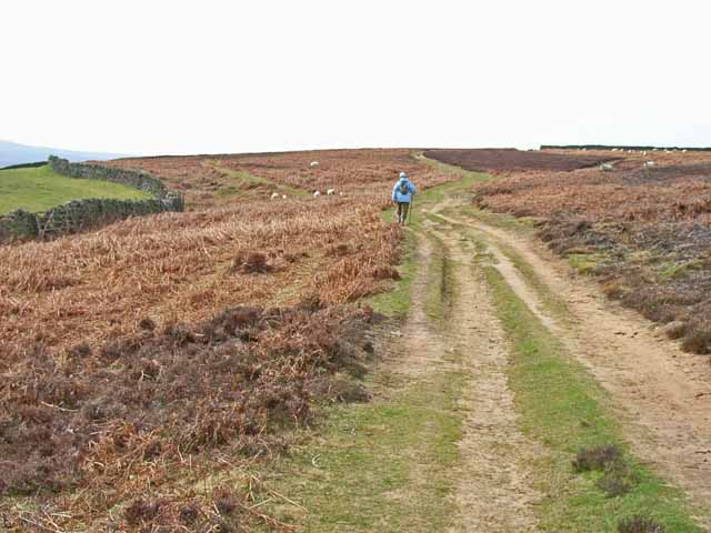
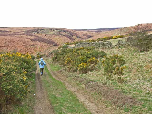
Bainbridge Hill is easily accessible, with well-maintained footpaths and trails leading to its peak. These paths are frequently used by hikers, walkers, and joggers, who enjoy the challenging terrain and exercise opportunities provided by the hill's steep inclines.

Overall, Bainbridge Hill is a natural landmark that offers both recreational and environmental benefits to the Durham community. Its commanding presence, natural beauty, and recreational opportunities make it a cherished part of the local landscape.

If you have any feedback on the listing, please let us know in the comments section below.

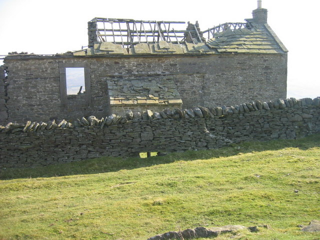
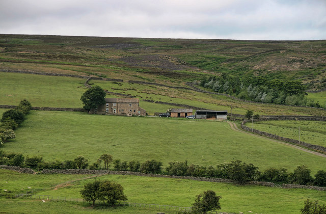
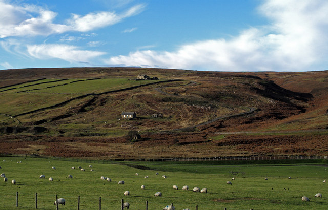
Bainbridge Hill Images

Images are sourced within 2km of 54.847129/-2.0145764 or Grid Reference NY9950. Thanks to Geograph Open Source API. All images are credited.

Wooden fence alongside bridleway The bridleway is on the north side of the Burnhope Burn and has come from the direction of Edmundbyers to reach the stream issuing from Swan Dale. It crosses the stream by a ford which shows in the image as the water to the left of the fence angle.
Wooden fence alongside bridleway
The bridleway is on the north side of the Burnhope Burn and has come from the direction of Edmundbyers to reach the stream issuing from Swan Dale. It crosses the stream by a ford which shows in the image as the water to the left of the fence angle.
Partly flooded path near to Edmundbyers The path, actually a bridleway, is seen heading towards the B6278 which it will meet just north of Burnhope Bridge, south-west of the village.
Partly flooded path near to Edmundbyers
The path, actually a bridleway, is seen heading towards the B6278 which it will meet just north of Burnhope Bridge, south-west of the village.
Lead Mining Trail on Edmondbyers Common This ancient bridleway runs along the crest of Edmondbyers Common and has been signed by Durham County Council as the Lead Mining Trail between Edmondbyers and Cowshill in Weardale
Lead Mining Trail on Edmondbyers Common
This ancient bridleway runs along the crest of Edmondbyers Common and has been signed by Durham County Council as the Lead Mining Trail between Edmondbyers and Cowshill in Weardale
College near Edmonbyers It is not known why this abandoned farm is called "College". But whatever it might have been once, it certainly doesn't feature highly in the academic league tables any more!
College near Edmonbyers
It is not known why this abandoned farm is called "College". But whatever it might have been once, it certainly doesn't feature highly in the academic league tables any more!
Burnhope Burn Reservoir above Edmondbyers
Lead Mining Trail on Edmondbyers Common This ancient bridleway runs along the crest of Edmondbyers Common and has been signed by Durham County Council as the Lead Mining Trail between Edmondbyers and Cowshill in Weardale
Lead Mining Trail on Edmondbyers Common
This ancient bridleway runs along the crest of Edmondbyers Common and has been signed by Durham County Council as the Lead Mining Trail between Edmondbyers and Cowshill in Weardale
College The disused farm at College above Burnhope Burn.
College
The disused farm at College above Burnhope Burn.
College Farmhouse
College Farmhouse
College Farmhouse
College Farmhouse
Burnhope Burn reservoir from College
Swan Dale near College
Swan Dale above College
Gate blocking right of way I think that the farmer is trying to discourage walkers.
Gate blocking right of way
I think that the farmer is trying to discourage walkers.
Swan Dale Looking across the small reservoir on Burnhope Burn towards Swan Dale.
Swan Dale
Looking across the small reservoir on Burnhope Burn towards Swan Dale.
Limerick Cottage Limerick Cottage above Burnhope Bridge.
Limerick Cottage
Limerick Cottage above Burnhope Bridge.
College and Swandale Swandale is the valley to the right of the image; it drains to the Burnhope Burn which lies in the main valley bottom. College is the ruin in the centre below the skyline. Also in view are Swandale cottage, below College and a small reservoir the dam of which is seen as a dark band beyond the field with grazing sheep.
College and Swandale
Swandale is the valley to the right of the image; it drains to the Burnhope Burn which lies in the main valley bottom. College is the ruin in the centre below the skyline. Also in view are Swandale cottage, below College and a small reservoir the dam of which is seen as a dark band beyond the field with grazing sheep.
Limerick Cottage, Edmundbyers Looking up the track to the farm and the moors behind.
Limerick Cottage, Edmundbyers
Looking up the track to the farm and the moors behind.
Walled enclosure near Edmundbyers Edmundbyers is a small village at the eastern edge of heather moorland; this enclosure is roughly grassed and is classed as non-access land. The skyline ridge terminates at Bolt's Law which is largely hidden.
Walled enclosure near Edmundbyers
Edmundbyers is a small village at the eastern edge of heather moorland; this enclosure is roughly grassed and is classed as non-access land. The skyline ridge terminates at Bolt's Law which is largely hidden.
Show me another place!

Bainbridge Hill is located at Grid Ref: NY9950 (Lat: 54.847129, Lng: -2.0145764)

Unitary Authority: County Durham

Police Authority: Durham

What 3 Words

///whites.printers.reflected. Near Muggleswick, Co. Durham

Related Wikis

Pow Hill Bog

Pow Hill Bog is a Site of Special Scientific Interest in the Wear Valley district of County Durham, England. It lies alongside Derwent Reservoir, approximately...

Edmundbyers

Edmundbyers is a village in County Durham, in England. It is situated a few miles to the west of Consett, near Derwent Reservoir. In 2001 it had a population...

Blanchland

Blanchland is a village in Northumberland, England, on the County Durham boundary. The population of the civil parish at the 2011 census was 135.Set beside...

Blanchland Abbey

Blanchland Abbey at Blanchland, in the English county of Northumberland, was founded as a premonstratensian priory in 1165 by Walter de Bolbec II, and...

Derwent Reservoir (North East England)

The Derwent Reservoir is a reservoir on the River Derwent, on the border between County Durham and Northumberland, in England. It is west of Consett. It...

Muggleswick, Stanhope and Edmundbyers Commons and Blanchland Moor

Muggleswick, Stanhope and Edmundbyers Commons and Blanchland Moor is a Site of Special Scientific Interest in County Durham and Northumberland, England...

Hunstanworth

Hunstanworth is a village in County Durham, England. It is situated approximately 10 miles to the west of Consett, south-west of the village of Blanchland...

Baybridge, Northumberland

Baybridge is a small village in Northumberland, England, just to the west of Blanchland and on the border with County Durham. It is situated to the west...

Nearby Amenities

Located within 500m of 54.847129,-2.0145764
Bainbridge Hill
Natural: peak
Source Name: OS_OpenData_StreetView
Lat/Long: 54.8471528/-2.0174825
Hunting Stand
Hunting Stand: grouse_butt
Lat/Long: 54.8503903/-2.0196739
Hunting Stand
Hunting Stand: grouse_butt
Lat/Long: 54.8500598/-2.0193413
Hunting Stand
Hunting Stand: grouse_butt
Lat/Long: 54.849697/-2.0189765
Hunting Stand
Hunting Stand: grouse_butt
Lat/Long: 54.849297/-2.01855
Hunting Stand
Hunting Stand: grouse_butt
Lat/Long: 54.848789/-2.0180243
Hunting Stand
Hunting Stand: grouse_butt
Lat/Long: 54.8482732/-2.0174906
Roughside Moor
Ele: 384.0
Image: https://www.geograph.org.uk/photo/2218028
Man Made: survey_point
Ref: NY86T044
Tpuk Ref: TP5744
Website: https://trigpointing.uk/trig/5744
Lat/Long: 54.847135/-2.0146072
Hunting Stand
Hunting Stand: grouse_butt
Lat/Long: 54.8439359/-2.0106563
Hunting Stand
Hunting Stand: grouse_butt
Lat/Long: 54.8436409/-2.010093
Hunting Stand
Hunting Stand: grouse_butt
Lat/Long: 54.8460077/-2.0197758
Hunting Stand
Hunting Stand: grouse_butt
Lat/Long: 54.8463629/-2.0204625
Hunting Stand
Hunting Stand: grouse_butt
Lat/Long: 54.8467103/-2.0211303
Hunting Stand
Hunting Stand: grouse_butt
Lat/Long: 54.8470208/-2.0217285
Hunting Stand
Hunting Stand: grouse_butt
Lat/Long: 54.8473559/-2.0223641
The data included in this document is from www.openstreetmap.org. The data is made available under ODbL.

Have you been to Bainbridge Hill?

Leave your review of Bainbridge Hill below (or comments, questions and feedback).