Barmoor Hill
Hill, Mountain in Northumberland
England
Barmoor Hill

Barmoor Hill is a prominent hill located in the county of Northumberland, in the northeast of England. Situated near the village of Lowick, it forms part of the stunning landscape of the Northumberland National Park. With an elevation of approximately 305 meters (1,000 feet), Barmoor Hill offers breathtaking panoramic views of the surrounding countryside.
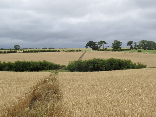
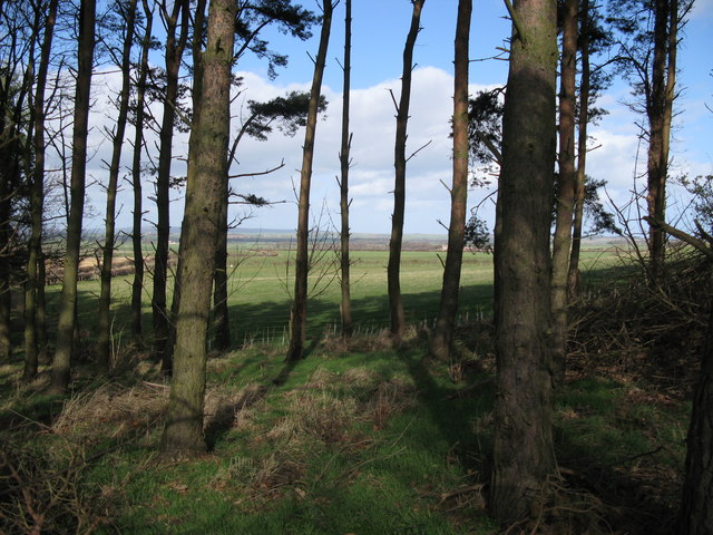
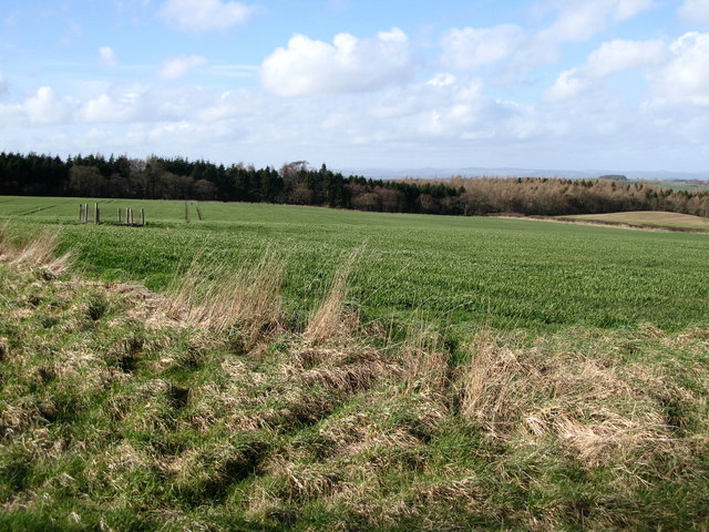
The hill is characterized by its gently sloping grassy slopes, which are interspersed with rocky outcrops and patches of heather. It is a popular destination for hikers and nature enthusiasts due to its accessibility and the stunning vistas it provides. On a clear day, visitors can see the Cheviot Hills to the west and the North Sea to the east.
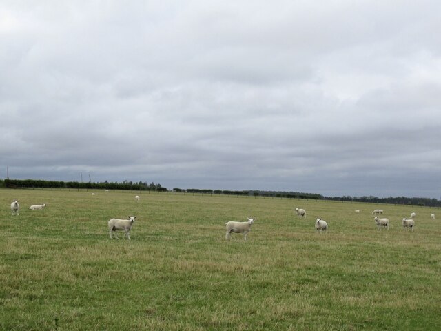
Barmoor Hill is also home to a variety of wildlife, including birds such as curlews, lapwings, and skylarks. The diverse flora and fauna found on the hill contribute to its ecological importance within the region.
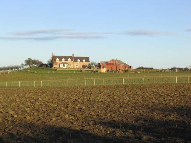
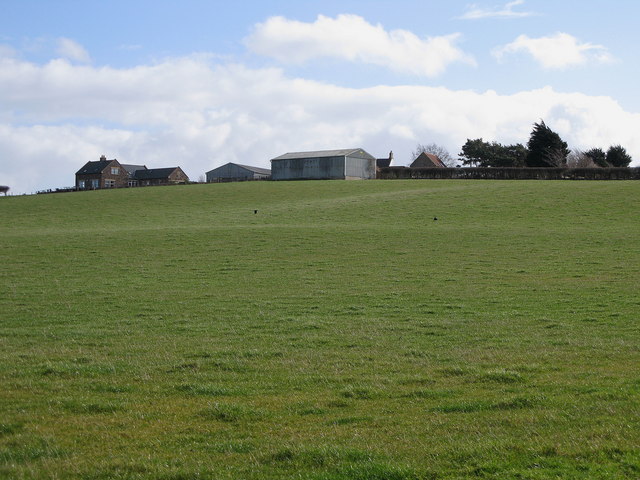
The area surrounding Barmoor Hill is steeped in history, with evidence of human habitation dating back to prehistoric times. There are also remnants of ancient settlements and burial mounds nearby. The hill itself has been used for grazing livestock for centuries and is still utilized for agricultural purposes today.
Overall, Barmoor Hill is a picturesque and culturally significant feature of the Northumberland landscape, attracting visitors from near and far who come to enjoy its natural beauty and explore its rich history.
If you have any feedback on the listing, please let us know in the comments section below.
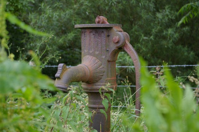
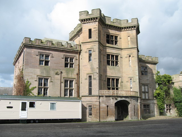
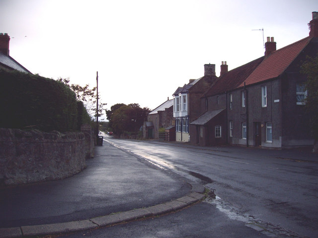
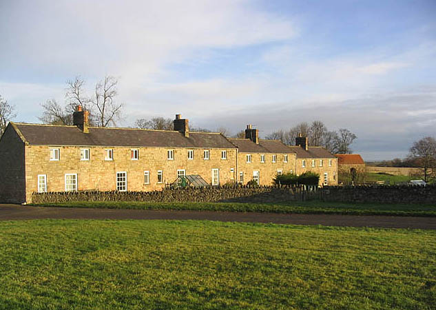
Barmoor Hill Images
Images are sourced within 2km of 55.660341/-2.0154229 or Grid Reference NT9940. Thanks to Geograph Open Source API. All images are credited.


Barmoor Hill is located at Grid Ref: NT9940 (Lat: 55.660341, Lng: -2.0154229)
Unitary Authority: Northumberland
Police Authority: Northumbria
What 3 Words
///umbrellas.surfed.doped. Near Lowick, Northumberland
Nearby Locations
Related Wikis


Have you been to Barmoor Hill?
Leave your review of Barmoor Hill below (or comments, questions and feedback).