Bridget Hill
Hill, Mountain in Durham
England
Bridget Hill

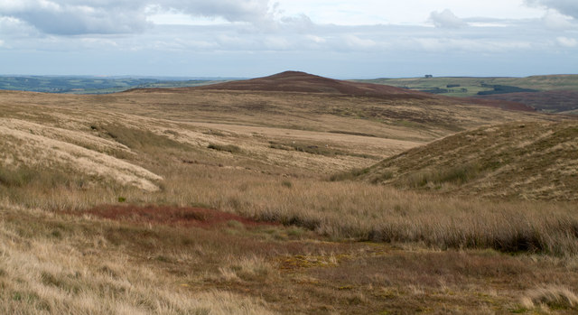
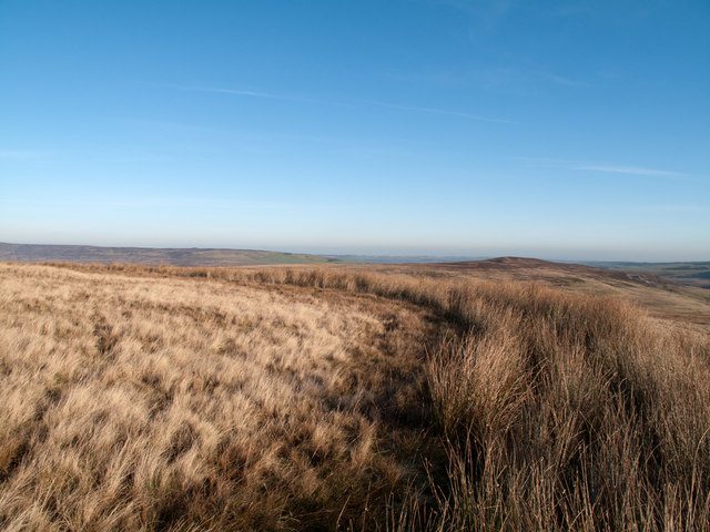
Bridget Hill, located in Durham, is a stunning geographical feature that stands tall as a prominent hill in the region. Rising to an elevation of approximately 200 meters (656 feet), it offers captivating panoramic views of the surrounding landscape. Situated in the northeastern part of England, Durham is known for its picturesque countryside, and Bridget Hill adds to its natural beauty.
Covered in lush greenery, the hill is a haven for nature enthusiasts and hikers. Its slopes are adorned with a variety of flora and fauna, providing a habitat for many species of birds and wildlife. The hill is often frequented by locals and tourists alike who seek solace in its tranquil atmosphere and enjoy outdoor activities such as walking, jogging, and picnicking.
At the top of Bridget Hill, visitors are rewarded with breathtaking sights that stretch far and wide. On clear days, the view extends across the Durham region, allowing one to marvel at the stunning rolling hills, meandering rivers, and charming villages that dot the landscape. The hill also offers a vantage point to witness beautiful sunrises and sunsets, casting a golden hue over the entire area.
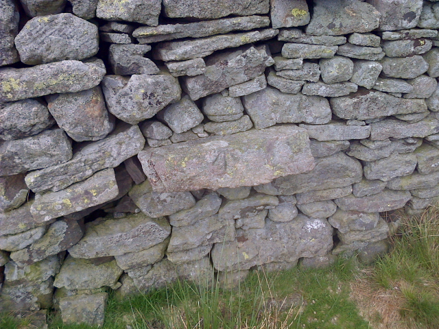
In addition to its natural beauty, Bridget Hill holds historical significance. It is believed to have been a site of human activity dating back thousands of years, with archaeological finds suggesting that it was once inhabited by ancient societies. Today, it serves as a testament to the rich history of the region.
Overall, Bridget Hill in Durham is an enchanting destination that captivates visitors with its natural splendor, panoramic views, and historical significance.
If you have any feedback on the listing, please let us know in the comments section below.
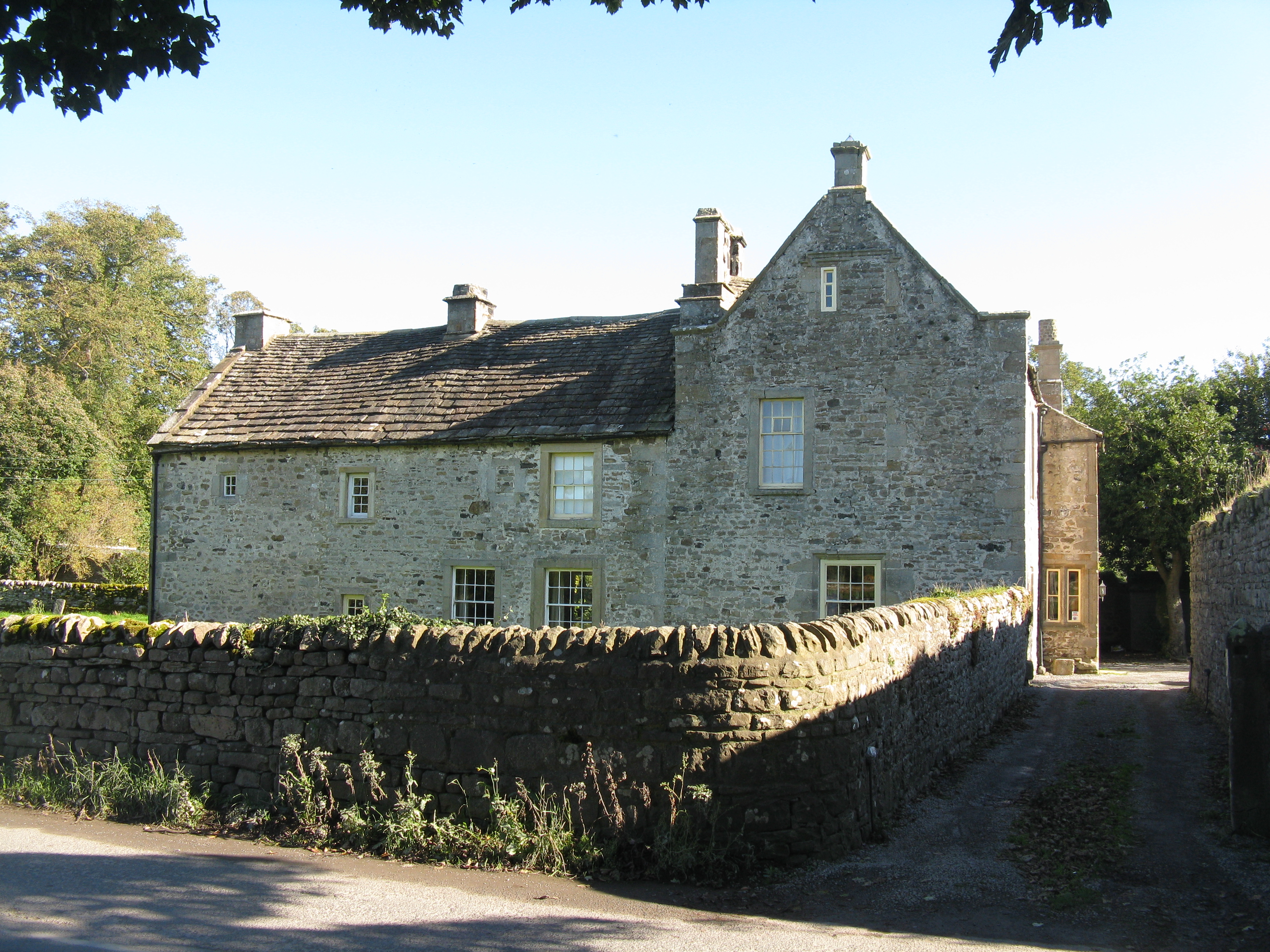
Bridget Hill Images
Images are sourced within 2km of 54.718244/-2.0204438 or Grid Reference NY9835. Thanks to Geograph Open Source API. All images are credited.


Bridget Hill is located at Grid Ref: NY9835 (Lat: 54.718244, Lng: -2.0204438)
Unitary Authority: County Durham
Police Authority: Durham
What 3 Words
///decrease.remind.rationed. Near Stanhope, Co. Durham
Nearby Locations
Related Wikis

West Newlandside Meadows
West Newlandside Meadows is a Site of Special Scientific Interest in the Wear Valley district of County Durham, England. It lies 3 km south-west of the...

Cornish Hush Mine
The Cornish Hush Mine was a British lead ore and fluorspar mine in Weardale. == Location == The mine was located in the Howden Burn valley in the Bollihope...
Hill End, County Durham
Hill End is a village in the civil parish of Stanhope, in County Durham, England. It is situated on the south side of Weardale, near Frosterley. ��2�...
Unthank, Stanhope
Unthank is a collection of houses in the civil parish of Stanhope, in County Durham, England. Unthank can be found just over Stanhope Ford and at the bottom...
Nearby Amenities
Located within 500m of 54.718244,-2.0204438Have you been to Bridget Hill?
Leave your review of Bridget Hill below (or comments, questions and feedback).