Darden Rigg
Hill, Mountain in Northumberland
England
Darden Rigg
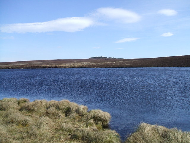
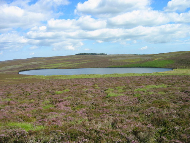
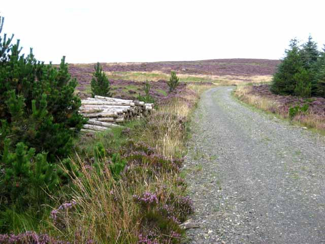
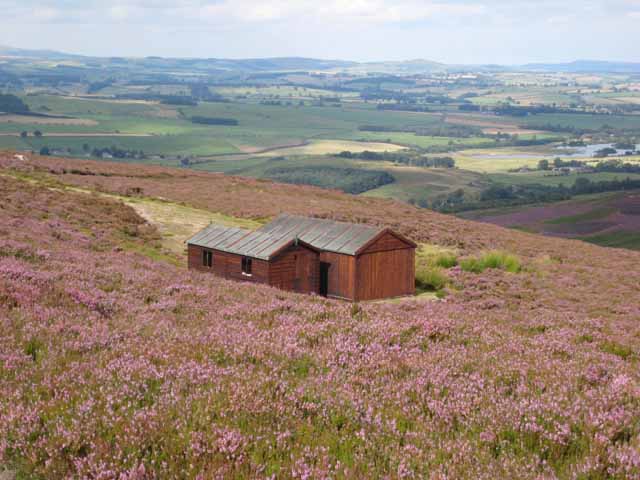
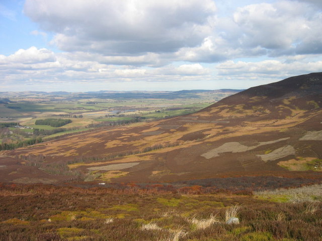
Darden Rigg is a prominent hill located in the county of Northumberland, England. It is part of the Cheviot Hills range, which stretches along the Anglo-Scottish border. Rising to an elevation of approximately 456 meters (1,496 feet), Darden Rigg offers breathtaking panoramic views of the surrounding landscape.
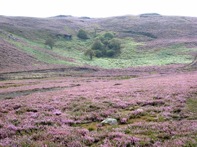
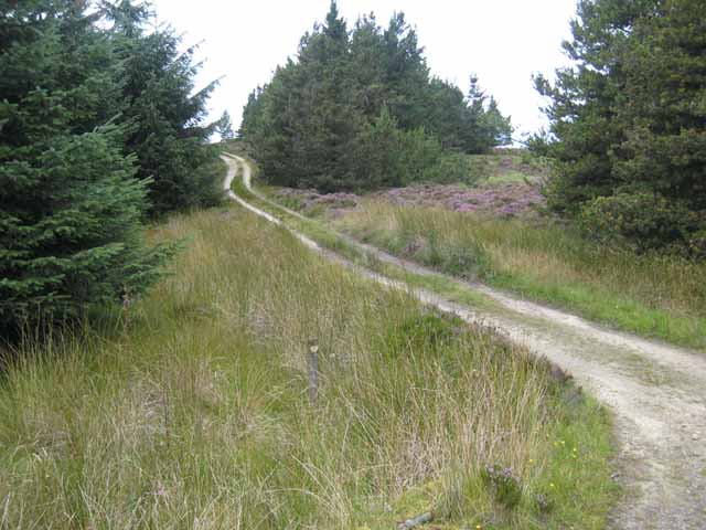
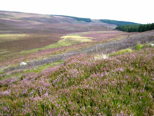
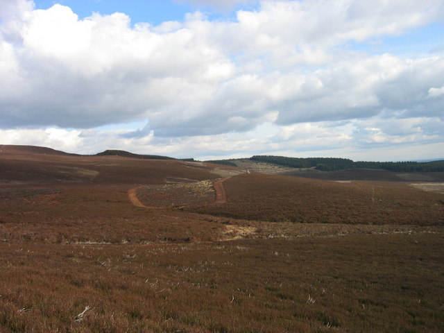
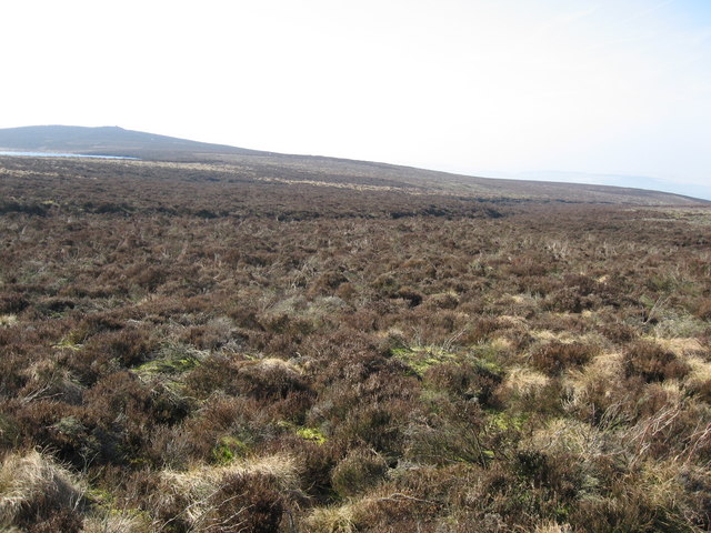
The hill is characterized by its gentle slopes and is covered with verdant grasses and heather, creating a picturesque scene. It is accessible via a network of footpaths and trails that wind their way up the hill, providing hikers and nature enthusiasts with an opportunity to explore the area's natural beauty.
Darden Rigg is renowned for its diverse flora and fauna, with many rare and protected species calling it home. The hill's habitat supports a variety of wildlife, including birds such as curlews, lapwings, and skylarks, which can often be spotted soaring above the hillside.
The hill is also steeped in history, with evidence of ancient settlements and archaeological sites scattered throughout the area. Ruins of Iron Age hillforts and Roman encampments can be found on the slopes of Darden Rigg, offering a glimpse into the region's past.
For outdoor enthusiasts, Darden Rigg provides an excellent location for activities such as hiking, bird-watching, and photography. The hill's accessible location and stunning vistas make it a popular destination for both locals and tourists seeking to immerse themselves in Northumberland's natural and cultural heritage.
If you have any feedback on the listing, please let us know in the comments section below.
Darden Rigg Images
Images are sourced within 2km of 55.26276/-2.0209463 or Grid Reference NY9896. Thanks to Geograph Open Source API. All images are credited.


Darden Rigg is located at Grid Ref: NY9896 (Lat: 55.26276, Lng: -2.0209463)
Unitary Authority: Northumberland
Police Authority: Northumbria
What 3 Words
///assess.snippets.camp. Near Rothbury, Northumberland
Nearby Locations
Related Wikis

Tosson Hill
Tosson Hill is the highest hill in the Simonside Hills to the south of Rothbury in Northumberland, England. The summit lies about 2 kilometres (1.2 mi...

Harwood Forest
Harwood Forest is a 3,527 hectares (8,720 acres) conifer plantation located to the south of Rothbury in North Northumberland, England, and managed by Forestry...

Reivers Way
The Reivers Way is a long-distance footpath in Northumberland, passing through the Northumberland National Park and the Cheviot Hills. Totalling 242 kilometres...
High Cove
High Cove is a major slip feature to the west of Grasslees Burn in the Simonside Hills, Northumberland, England. It contains several small rifts and caves...

Hepple
Hepple is a small village and parish in rural Northumberland, 4 miles (6.4 km) west of Rothbury, which provides most of its local services. It is on the...
Billsmoor Park and Grasslees Wood
Billsmoor Park and Grasslees Wood is the name given to a Site of Special Scientific Interest (SSSI) in Northumberland, North East England, designated in...
Simonside Hills
The Simonside Hills are a hill range in Northumberland, England near the town of Rothbury. Most of the hills are around 300–400 metres (980–1,310 ft) high...
Fallowlees Flush
Fallowlees Flush is the name given to a Site of Special Scientific Interest (SSSI) in mid-Northumberland, England. The steeply sloping site has calcium...
Related Videos
Harwood forest solo wild camp
Solo wild camping in Harwood forest. Acedecss Youtube channel, https://www.youtube.com/user/acedecs.

Harwood forest fun night with friends
"Hillbilly Swing" Kevin MacLeod (incompetech.com) Licensed under Creative Commons: By Attribution 4.0 License ...

The Harwood Forest Wildman - a pair of eyes watching me & I think it was walking around my tent.
BbrDeborah #wildman #wildcamping #wildcampinguk #bushcraft #bushcraftstories #creature #unexplained #unknown #mystery ...
Nearby Amenities
Located within 500m of 55.26276,-2.0209463Have you been to Darden Rigg?
Leave your review of Darden Rigg below (or comments, questions and feedback).