Burnt Hill
Hill, Mountain in Yorkshire
England
Burnt Hill
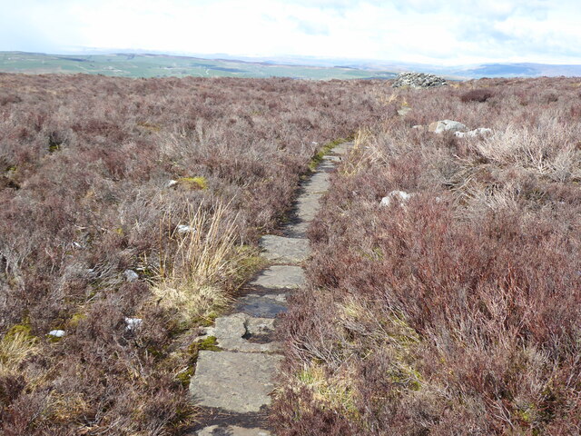
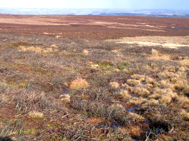
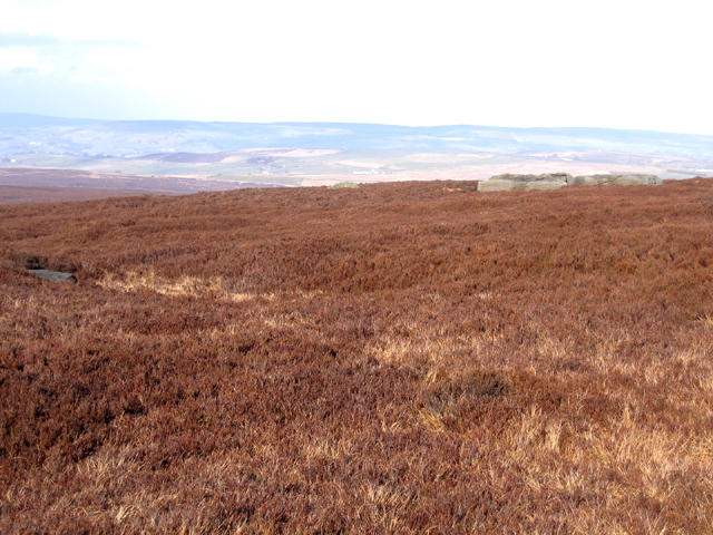
Burnt Hill is a prominent hill located in the county of Yorkshire, England. Situated in the picturesque countryside, it forms part of the stunning Yorkshire Dales National Park. With an elevation of approximately 500 meters (1,640 feet), Burnt Hill is considered a notable landmark in the region.
The hill derives its name from the dark brown coloration of the surrounding moorland, which can give the appearance of being charred or burned. It is covered in a mix of heather, grasses, and scattered shrubs, providing a rich habitat for a variety of wildlife.
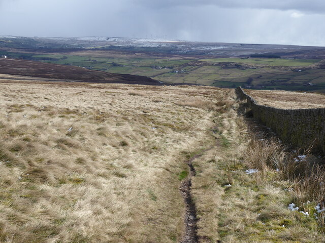
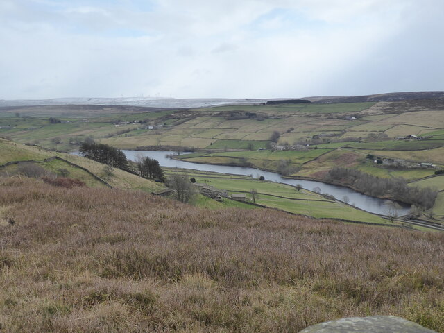
Hikers and nature enthusiasts are drawn to Burnt Hill for its breathtaking panoramic views. From the summit, visitors can marvel at the sweeping vistas of the rolling hills, deep valleys, and meandering rivers that define the Yorkshire landscape. On a clear day, it is even possible to catch a glimpse of the distant North Sea.
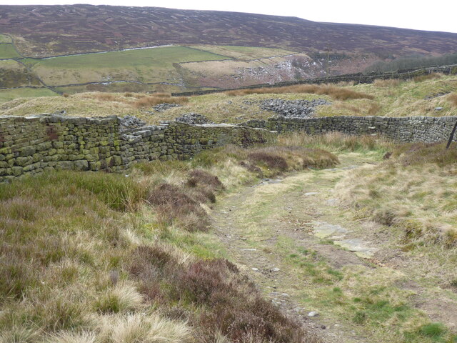
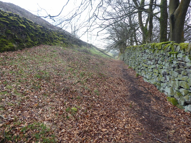
Several walking trails and footpaths traverse Burnt Hill, offering opportunities for outdoor exploration. The hill is a popular destination for both locals and tourists, who come to enjoy the tranquility of the countryside and experience the natural beauty of the area.
In addition to its scenic qualities, Burnt Hill has a rich cultural and historical significance. It is believed to have been inhabited since prehistoric times, with archaeological evidence suggesting human activity in the area dating back thousands of years. The hill has also been associated with local folklore and legends, adding to its mystique.
Overall, Burnt Hill in Yorkshire is a captivating destination that combines natural beauty, outdoor recreation, and a touch of history, making it a must-visit location for anyone exploring the region.
If you have any feedback on the listing, please let us know in the comments section below.
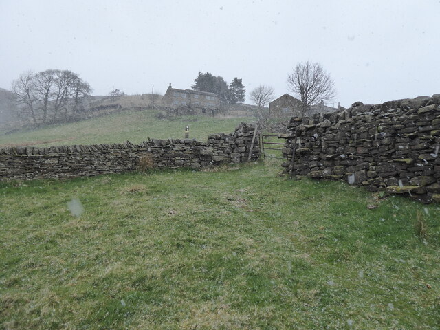
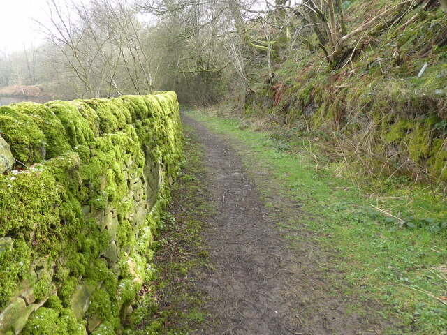
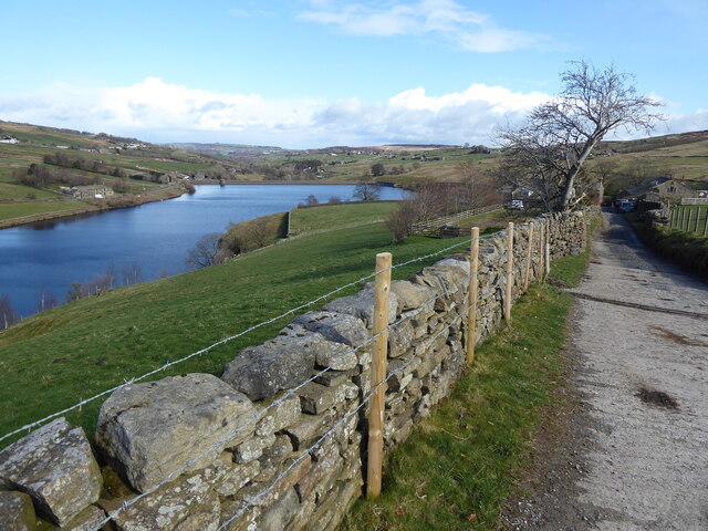
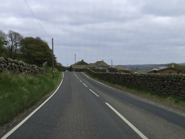
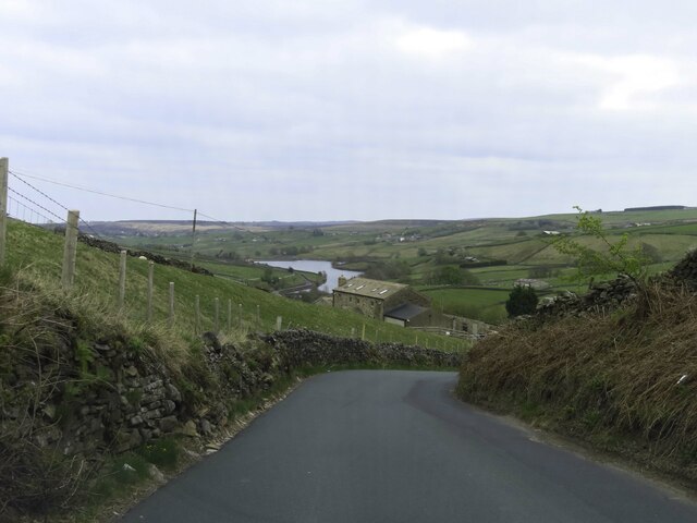
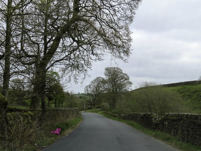
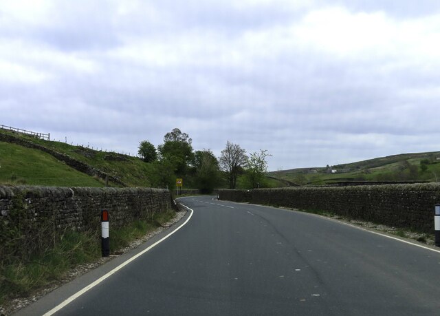
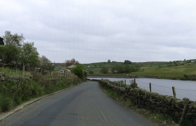
Burnt Hill Images
Images are sourced within 2km of 53.846391/-2.0291459 or Grid Reference SD9838. Thanks to Geograph Open Source API. All images are credited.


Burnt Hill is located at Grid Ref: SD9838 (Lat: 53.846391, Lng: -2.0291459)
Division: West Riding
Unitary Authority: Bradford
Police Authority: West Yorkshire
What 3 Words
///pushes.timed.wool. Near Haworth, West Yorkshire
Nearby Locations
Related Wikis

Watersheddles Reservoir
Watersheddles Reservoir is an upland artificial lake in Lancashire, England. The reservoir was opened in 1877 by the Keighley Corporation Water Works,...

Ponden Hall
Ponden Hall is a farmhouse near Stanbury in West Yorkshire, England. It is famous for reputedly being the inspiration for Thrushcross Grange, the home...

Scar Top
Scar Top is a farming hamlet near the tourist village of Haworth in the City of Bradford metropolitan borough, West Yorkshire in England. It is in the...

Ponden Reservoir
Ponden Reservoir is an artificial upland lake in the Worth Valley, near Stanbury, West Yorkshire, England. Ponden was built as a compensation reservoir...
Oldfield, West Yorkshire
Oldfield is a small hamlet within the county of West Yorkshire, England, situated north of Stanbury and near to Oakworth. It is approximately 6 miles...

The Hitching Stone
The Hitching Stone is a gritstone erratic block on Keighley Moor, North Yorkshire, near Earl Crag and the village of Cowling. It is very close to the...

Stanbury
Stanbury is a village and former civil parish, now in the parish of Haworth and Stanbury, in the metropolitan borough of the City of Bradford in West Yorkshire...

Top Withens
Top Withens (SD981353) (also known as Top Withins) is a ruined farmhouse near Haworth, West Yorkshire, England, which is said to have been the inspiration...
Nearby Amenities
Located within 500m of 53.846391,-2.0291459Have you been to Burnt Hill?
Leave your review of Burnt Hill below (or comments, questions and feedback).