Castle Shore Hill

Hill, Mountain in Lancashire

England

Castle Shore Hill

Windy Hill Mast View of Windy Hill Mast (<a href="https://www.geograph.org.uk/photo/3488592">SD9814 : Windy Hill</a>) seen from alongside Piethorne Reservoir.
Windy Hill Mast Credit: Peter McDermott

Castle Shore Hill is a prominent hill located in the county of Lancashire, England. Situated near the town of Fleetwood, it forms part of the wider Bowland Fells area, which is known for its stunning natural beauty and diverse wildlife.

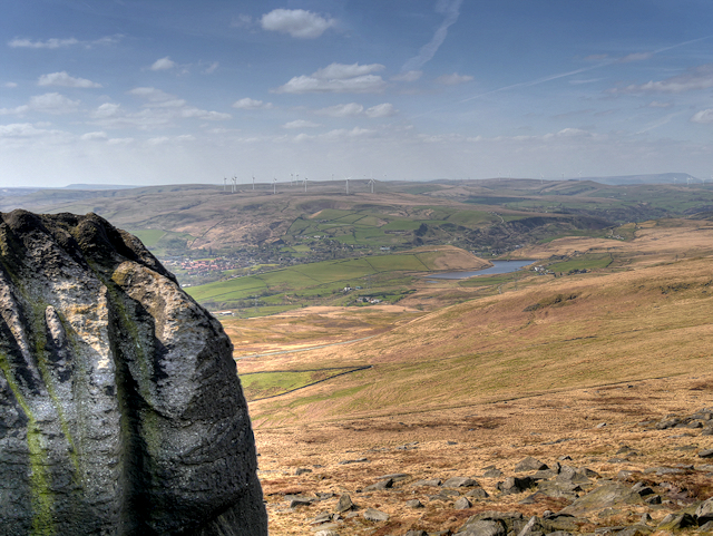
With an elevation of approximately 183 meters (600 feet), Castle Shore Hill offers breathtaking panoramic views of the surrounding landscape. Its position on the coast provides visitors with the unique opportunity to witness both the rolling hills of Lancashire and the vast expanse of the Irish Sea.

The hill takes its name from the remains of a medieval castle that once stood atop its summit. Although the castle is now in ruins, its historical significance adds to the allure of Castle Shore Hill, attracting history enthusiasts and archaeology buffs alike.

The area surrounding the hill is a haven for outdoor enthusiasts, with several hiking and walking trails crisscrossing the landscape. These trails offer a chance to explore the diverse flora and fauna that call Castle Shore Hill home, including a variety of bird species and wildflowers.

Castle Shore Hill is also a popular spot for paragliding and hang gliding, thanks to the strong coastal winds that create perfect conditions for these exhilarating activities. Additionally, the hill is often used by locals and visitors alike for picnics, family outings, and leisurely walks.

Overall, Castle Shore Hill in Lancashire offers a unique blend of natural beauty, historical significance, and recreational opportunities that make it a must-visit destination for nature lovers and adventure seekers.

If you have any feedback on the listing, please let us know in the comments section below.

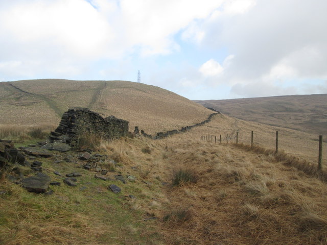
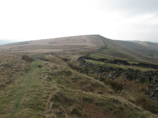
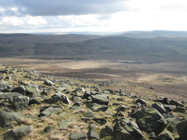
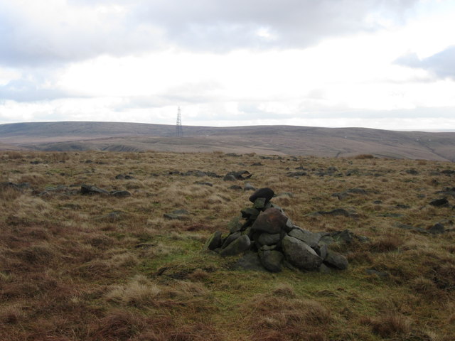
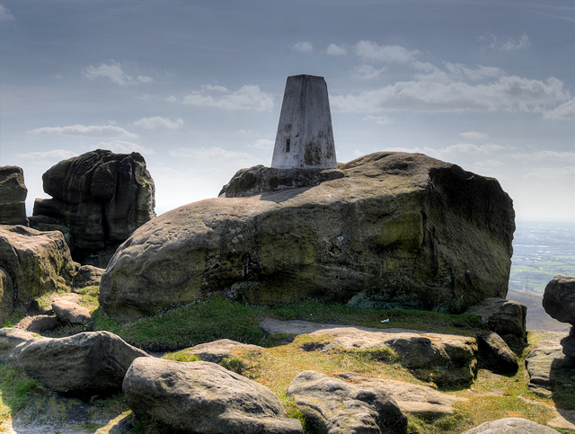
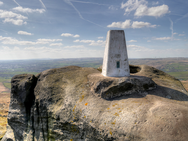
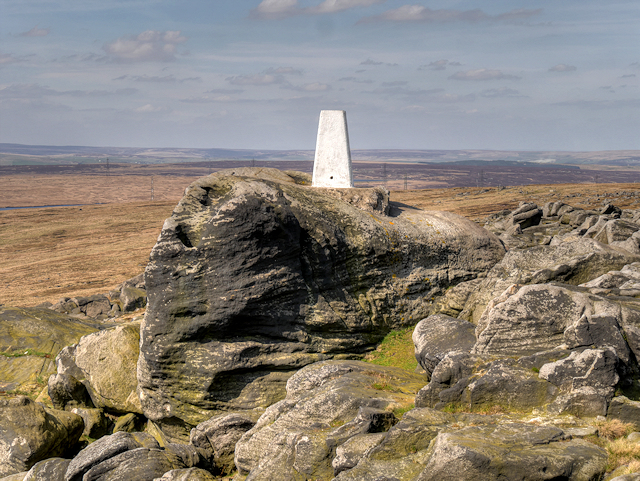
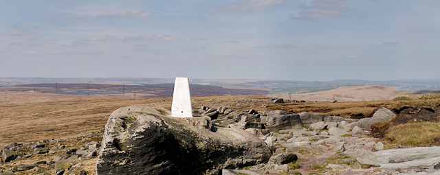
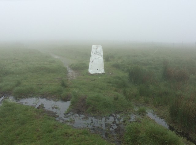
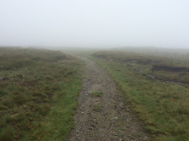
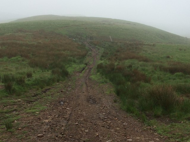
Castle Shore Hill Images

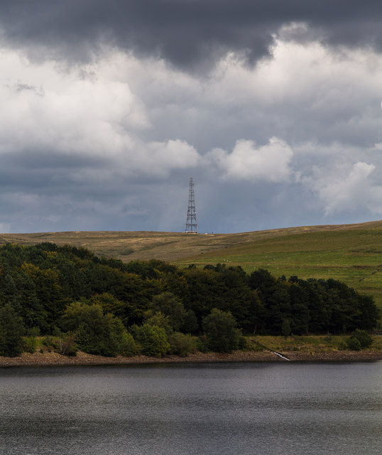
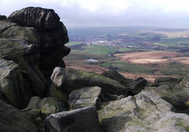
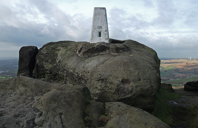
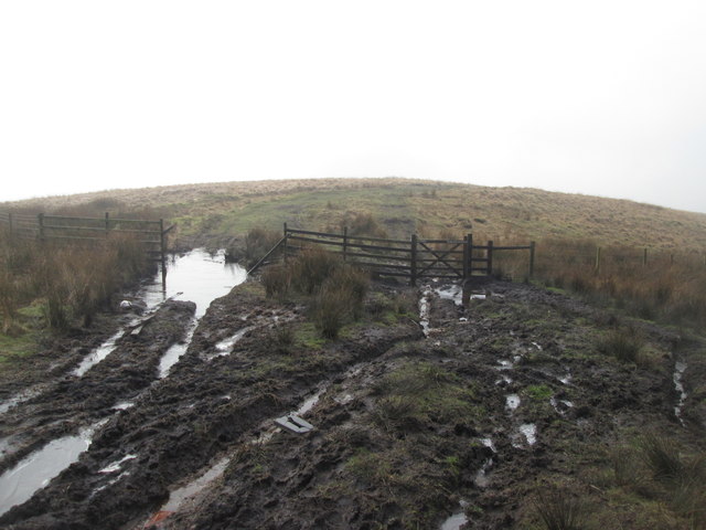
Images are sourced within 2km of 53.628331/-2.0324568 or Grid Reference SD9714. Thanks to Geograph Open Source API. All images are credited.

Windy Hill Mast View of Windy Hill Mast (<a href="https://www.geograph.org.uk/photo/3488592">SD9814 : Windy Hill</a>) seen from alongside Piethorne Reservoir.
Windy Hill Mast
View of Windy Hill Mast (SD9814 : Windy Hill) seen from alongside Piethorne Reservoir.
Pennine Way, Blackstone Edge Taken just to the south of the trig pillar. Looking out over littleborough and Rochdale.
Pennine Way, Blackstone Edge
Taken just to the south of the trig pillar. Looking out over littleborough and Rochdale.
Blackstone Edge trig pillar On the Pennine Way at 472 metres above sea level.
Blackstone Edge trig pillar
On the Pennine Way at 472 metres above sea level.
A very muddy path on Windy Hill
Bridleway on Windy Hill
Bridleway on Windy Hills
Looking down Great Hoar Edge to the M62 motorway
Low House Moor The mast on Windy Hill in the distance
Low House Moor
The mast on Windy Hill in the distance
Blackstone Edge Trig Pillar Approached here from the north, the triangulation pillar at Blackstone Edge sits spectacularly on a large gritstone boulder high above the town of Littleborough.
Blackstone Edge Trig Pillar
Approached here from the north, the triangulation pillar at Blackstone Edge sits spectacularly on a large gritstone boulder high above the town of Littleborough.
Ordnance Survey Triangulation Pillar at Blackstone Edge Viewed here  here from the south, the triangulation pillar at Blackstone Edge sits spectacularly on a large gritstone boulder on the escarpment high above the town of Littleborough. The hills of Lancashire can be seen behind the boulder.
Ordnance Survey Triangulation Pillar at Blackstone Edge
Viewed here here from the south, the triangulation pillar at Blackstone Edge sits spectacularly on a large gritstone boulder on the escarpment high above the town of Littleborough. The hills of Lancashire can be seen behind the boulder.
Blackstone Edge Triangulation Pillar The triangulation pillar at Blackstone Edge sits spectacularly on a large gritstone boulder on the escarpment overlooking the town of Littleborough.
Blackstone Edge Triangulation Pillar
The triangulation pillar at Blackstone Edge sits spectacularly on a large gritstone boulder on the escarpment overlooking the town of Littleborough.
Pennine Way, Blackstone Edge Summit A wide-angle view at the summit of Blackstone Edge showing the OS triangulation pillar together with some of the surrounding moorland and gritstone boulders.
Pennine Way, Blackstone Edge Summit
A wide-angle view at the summit of Blackstone Edge showing the OS triangulation pillar together with some of the surrounding moorland and gritstone boulders.
View from Summit of Blackstone Edge Looking over the moorland near Littleborough from the summit of Blackstone Edge, near to <a href="https://www.geograph.org.uk/photo/4939052">SD9716 : Blackstone Edge Triangulation Pillar</a>. The patch of water which can be seen in the distance is Higher Chelburn Reservoir.
View from Summit of Blackstone Edge
Looking over the moorland near Littleborough from the summit of Blackstone Edge, near to SD9716 : Blackstone Edge Triangulation Pillar. The patch of water which can be seen in the distance is Higher Chelburn Reservoir.
A welcome sight The trig pillar on White Hill (1530'/466m) looms out of the mist.
A welcome sight
The trig pillar on White Hill (1530'/466m) looms out of the mist.
Pennine Way on Axletree Edge
Windy Hills ridge
Windy Hills ridge
Lancashire-Yorkshire boundary on the M62 The white rose of Yorkshire on the Lancashire-Yorkshire boundary marker alongside the M62 motorway.  The white rose is on the Lancashire side, presumably indicating that you are about to enter Yorkshire.  See also <a href="https://www.geograph.org.uk/photo/4993708">SD9814 : The top of the M62 at the Lancashire-Yorkshire boundary</a>
Lancashire-Yorkshire boundary on the M62
The white rose of Yorkshire on the Lancashire-Yorkshire boundary marker alongside the M62 motorway. The white rose is on the Lancashire side, presumably indicating that you are about to enter Yorkshire. See also SD9814 : The top of the M62 at the Lancashire-Yorkshire boundary
The top of the M62 at the Lancashire-Yorkshire boundary Looking along the M62 motorway, on a dismal damp day, towards the Pennine Way footbridge. Just in front of the camera the Lancashire-Yorkshire boundary crosses the motorway, with a pseudo trig point, on the left, marking the boundary - <a href="https://www.geograph.org.uk/photo/4993682">SD9814 : Lancashire-Yorkshire boundary on the M62</a>
The top of the M62 at the Lancashire-Yorkshire boundary
Looking along the M62 motorway, on a dismal damp day, towards the Pennine Way footbridge. Just in front of the camera the Lancashire-Yorkshire boundary crosses the motorway, with a pseudo trig point, on the left, marking the boundary - SD9814 : Lancashire-Yorkshire boundary on the M62
Show me another place!

Castle Shore Hill is located at Grid Ref: SD9714 (Lat: 53.628331, Lng: -2.0324568)

Unitary Authority: Rochdale

Police Authority: Greater Manchester

What 3 Words

///boardroom.feast.instead. Near Littleborough, Manchester

Related Wikis

Blackstone Edge

Blackstone Edge ( BLAK-stən) is a gritstone escarpment at 472 metres (1,549 ft) above sea level in the Pennine hills surrounded by moorland on the boundary...

Norman Hill Reservoir

Norman Hill Reservoir is a reservoir in the Piethorne Valley in the Metropolitan Borough of Rochdale, within Greater Manchester, England. == References ==

Hanging Lees Reservoir

Hanging Lees Reservoir is a small reservoir in the Piethorne Valley in the Metropolitan Borough of Rochdale, within Greater Manchester, England. It is...
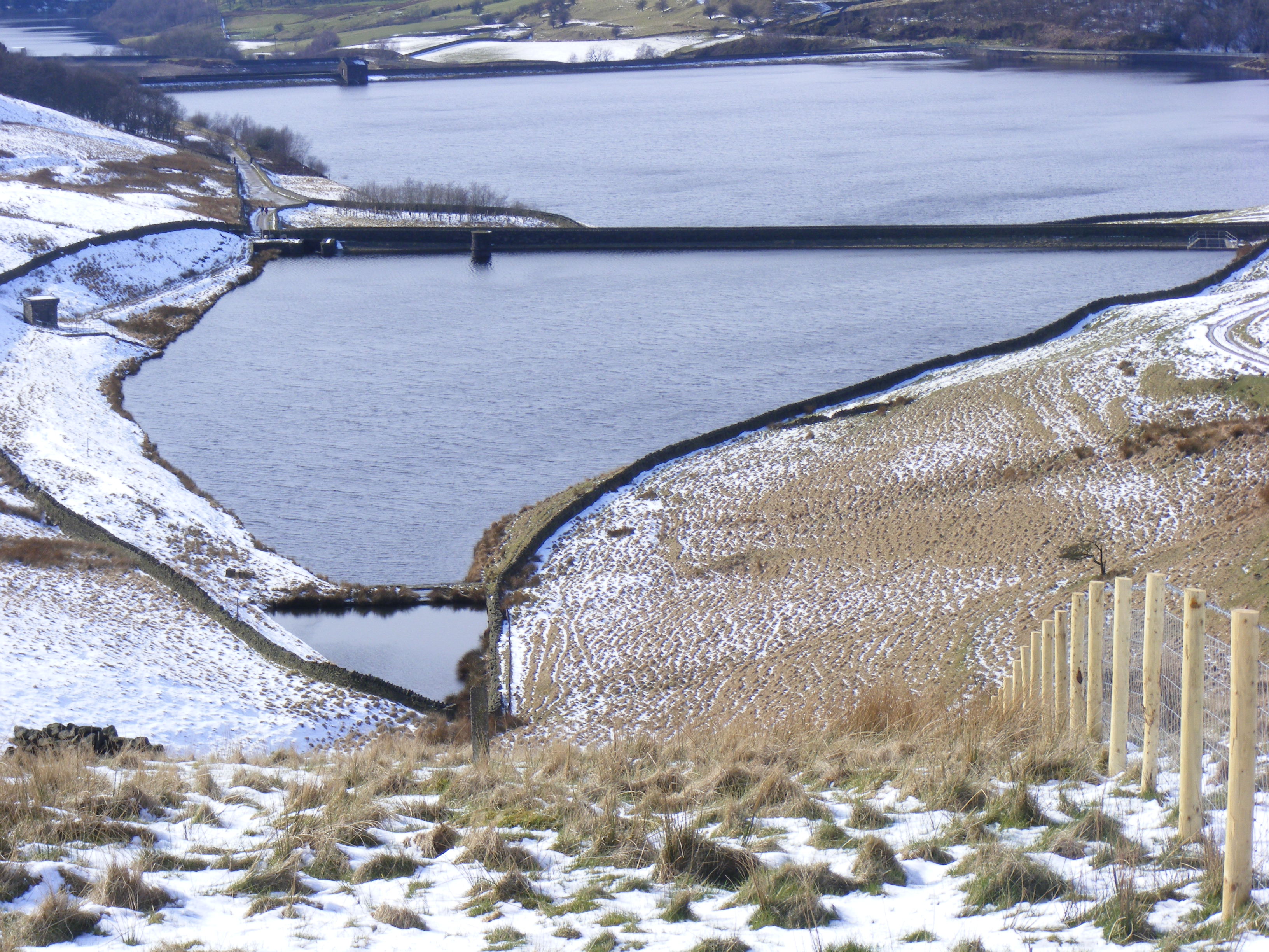
Piethorne Reservoir

Piethorne Reservoir is the largest of several reservoirs in the Piethorne Valley above Newhey, by Milnrow, in the Metropolitan Borough of Rochdale, Greater...

Nearby Amenities

Located within 500m of 53.628331,-2.0324568
Motorway Junction
Rockingstone Moss Interchange
Ref: 22
Lat/Long: 53.6294631/-2.0257158
Phone
Check Date: 2023-08-06
Emergency: phone
Ref: 1746 A
Lat/Long: 53.6294051/-2.0332264
Windy Hill
Man Made: tower
Source: Bing;survey
Tower Type: communication
Lat/Long: 53.6255609/-2.0296662
Man Made: tower
Source: Bing
Tower Type: communication
Lat/Long: 53.6272886/-2.0306264
The data included in this document is from www.openstreetmap.org. The data is made available under ODbL.

Have you been to Castle Shore Hill?

Leave your review of Castle Shore Hill below (or comments, questions and feedback).