Black Hill
Hill, Mountain in Yorkshire
England
Black Hill
Black Hill is a prominent hill located in West Yorkshire, England, in the Pennine Hills. Rising to an elevation of 582 meters (1,909 feet), it is renowned for being the highest point in Yorkshire. The hill lies within the South Pennines, specifically within the Peak District National Park, making it a popular destination for outdoor enthusiasts and nature lovers.
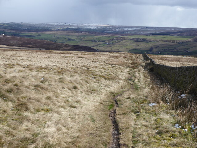
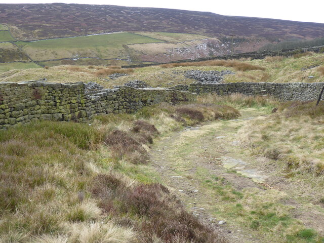
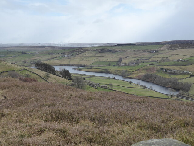
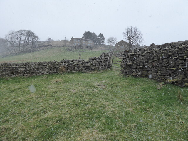
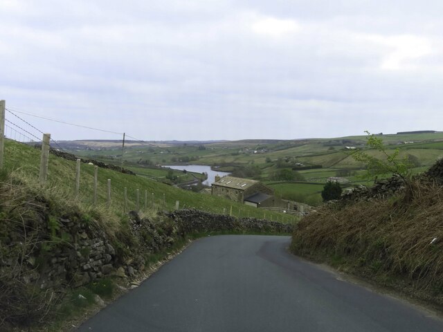
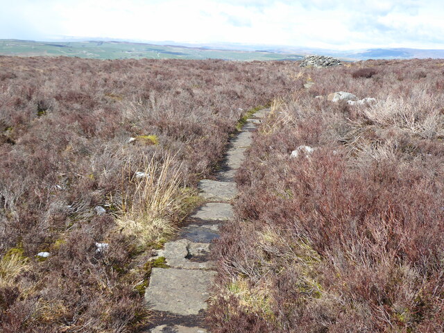
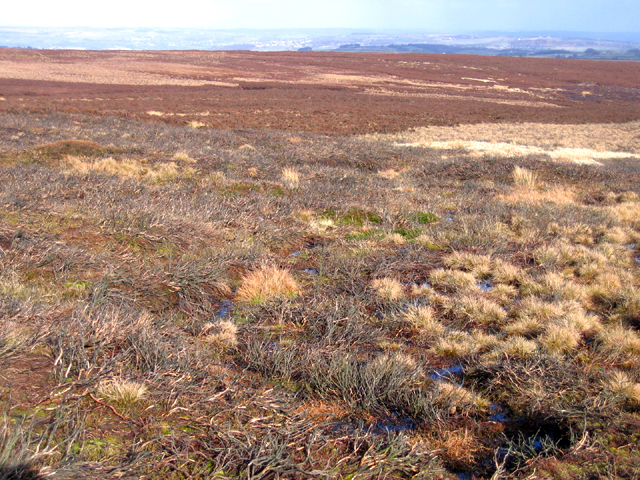
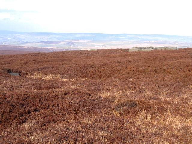
Black Hill is characterized by its distinctive peat-covered landscape, which gives the hill its name. The peat is a result of the area's moist climate and extensive blanket bog formations. The hill offers breathtaking panoramic views of the surrounding countryside, including the nearby Holme Valley and the moors of Marsden.
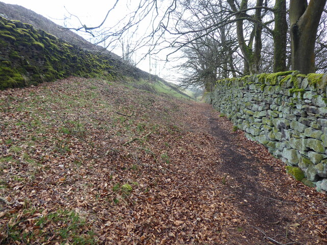
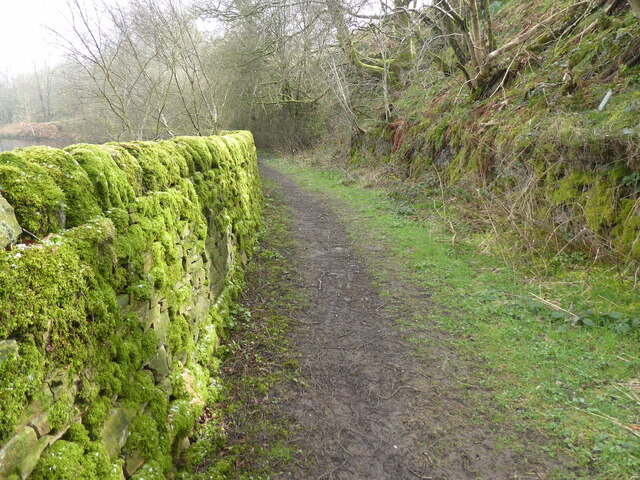
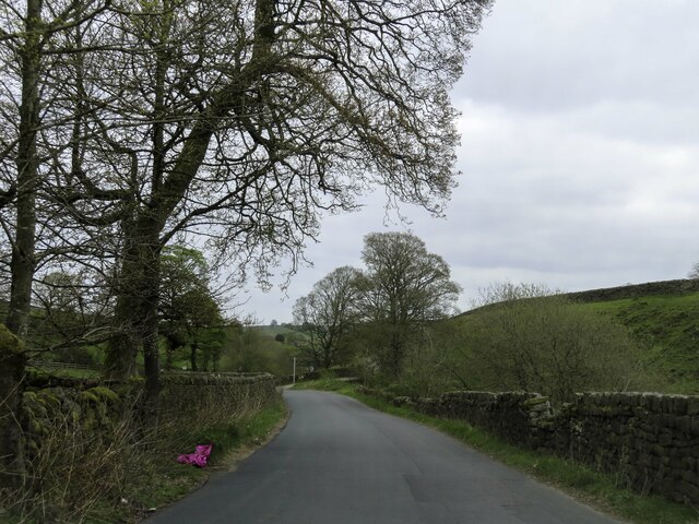
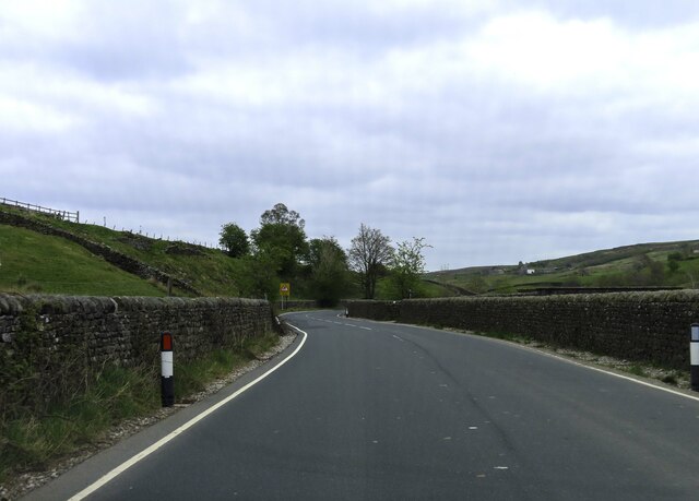
Numerous walking trails and footpaths crisscross the hill, providing opportunities for visitors to explore its rugged terrain. The Pennine Way, a long-distance footpath, traverses Black Hill and attracts hikers from all over the country. The path offers a challenging but rewarding trek, allowing walkers to experience the hill's natural beauty up close.
Black Hill is also notable for its rich ecological diversity. The hillside is home to a variety of plant species, including heather, cotton grass, and bilberry, providing habitats for numerous bird species and small mammals. It is not uncommon to spot iconic wildlife such as curlews, red grouse, and even the elusive mountain hare.
Overall, Black Hill in Yorkshire is a stunning natural landmark, offering visitors a chance to immerse themselves in the beauty of the Pennine Hills and experience the unique flora and fauna of the region.
If you have any feedback on the listing, please let us know in the comments section below.
Black Hill Images
Images are sourced within 2km of 53.845338/-2.0353007 or Grid Reference SD9738. Thanks to Geograph Open Source API. All images are credited.


Black Hill is located at Grid Ref: SD9738 (Lat: 53.845338, Lng: -2.0353007)
Division: West Riding
Unitary Authority: Bradford
Police Authority: West Yorkshire
What 3 Words
///proves.essays.blacked. Near Haworth, West Yorkshire
Nearby Locations
Related Wikis

Watersheddles Reservoir
Watersheddles Reservoir is an upland artificial lake in Lancashire, England. The reservoir was opened in 1877 by the Keighley Corporation Water Works,...

Ponden Hall
Ponden Hall is a farmhouse near Stanbury in West Yorkshire, England. It is famous for reputedly being the inspiration for Thrushcross Grange, the home...

Scar Top
Scar Top is a farming hamlet near the tourist village of Haworth in the City of Bradford metropolitan borough, West Yorkshire in England. It is in the...

Ponden Reservoir
Ponden Reservoir is an artificial upland lake in the Worth Valley, near Stanbury, West Yorkshire, England. Ponden was built as a compensation reservoir...
Oldfield, West Yorkshire
Oldfield is a small hamlet within the county of West Yorkshire, England, situated north of Stanbury and near to Oakworth. It is approximately 6 miles...

The Hitching Stone
The Hitching Stone is a gritstone erratic block on Keighley Moor, North Yorkshire, near Earl Crag and the village of Cowling. It is very close to the...

Top Withens
Top Withens (SD981353) (also known as Top Withins) is a ruined farmhouse near Haworth, West Yorkshire, England, which is said to have been the inspiration...

Stanbury
Stanbury is a village and former civil parish, now in the parish of Haworth and Stanbury, in the metropolitan borough of the City of Bradford in West Yorkshire...
Nearby Amenities
Located within 500m of 53.845338,-2.0353007Have you been to Black Hill?
Leave your review of Black Hill below (or comments, questions and feedback).