Kirk Hill

Hill, Mountain in Northumberland

England

Kirk Hill

Car park near Hepplewoodside Bridge
Car park near Hepplewoodside Bridge Credit: Gordon Brown

Kirk Hill is a prominent natural landmark located in the county of Northumberland, England. Situated in the northern part of the county, Kirk Hill is part of the stunning Northumberland National Park, renowned for its scenic beauty and diverse wildlife.

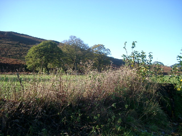
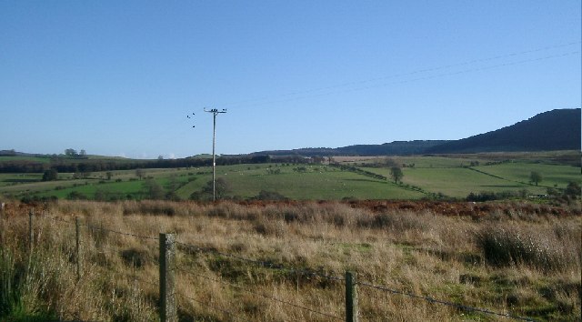
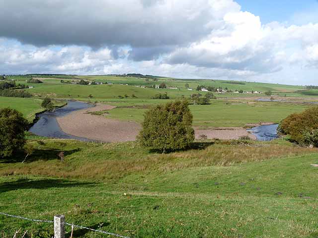
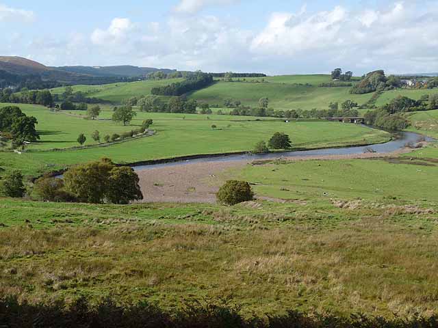
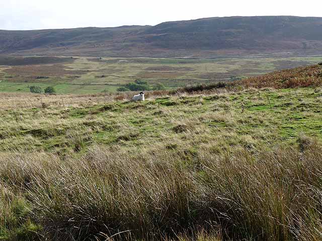
Rising to an elevation of approximately 494 meters (1,621 feet), Kirk Hill is considered one of the highest peaks in the region. The hill offers breathtaking panoramic views of the surrounding countryside, including the Cheviot Hills and the Scottish Borders to the north. On a clear day, it is even possible to glimpse the distant North Sea.

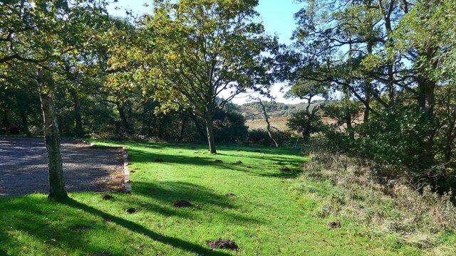
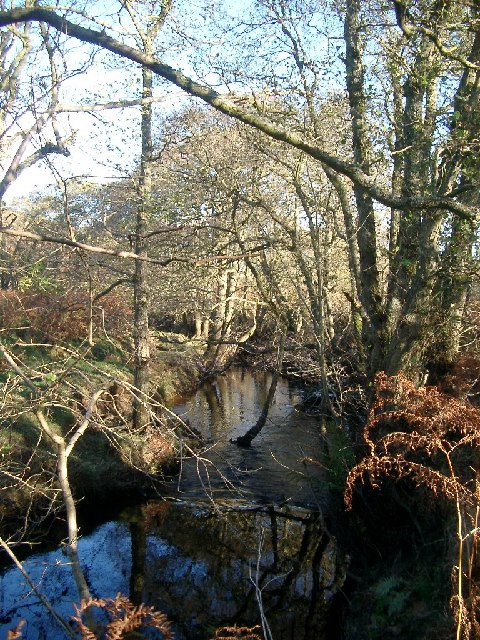
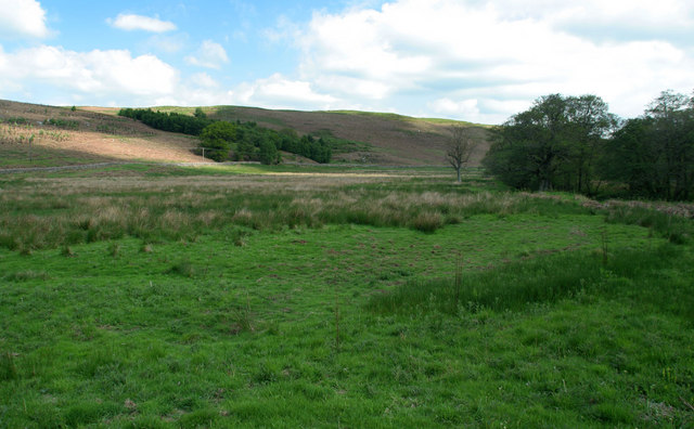
The terrain of Kirk Hill is primarily rugged and rocky, providing a challenging terrain for hikers and outdoor enthusiasts. The hill is covered in heather and grasses, which lend a picturesque quality to the landscape. Visitors can explore a network of well-marked trails that wind their way up to the summit, offering an opportunity to enjoy the area's natural beauty and observe the local wildlife.

Kirk Hill is home to a variety of bird species, including the red grouse, which is native to the area. Other wildlife such as hares, rabbits, and deer can also be spotted while exploring the hill. The site is particularly popular among birdwatchers, who come to observe the diverse avian population that inhabits the region.

Overall, Kirk Hill in Northumberland is a captivating natural feature that attracts both locals and tourists alike. Its stunning views, challenging trails, and rich biodiversity make it a must-visit destination for those seeking an authentic outdoor experience in the heart of Northumberland.

If you have any feedback on the listing, please let us know in the comments section below.

Kirk Hill Images

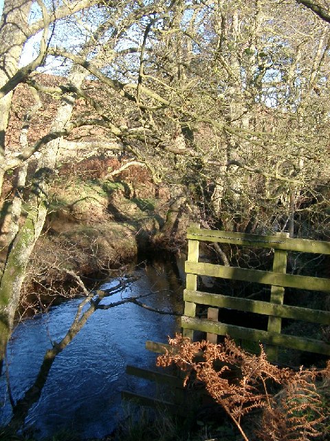
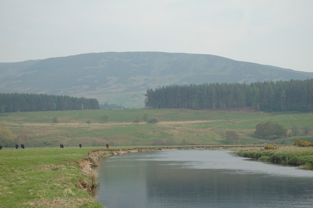
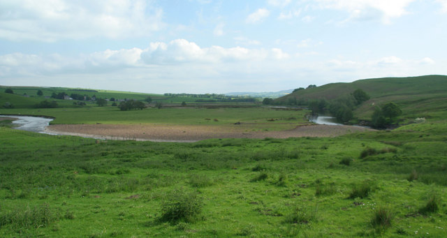
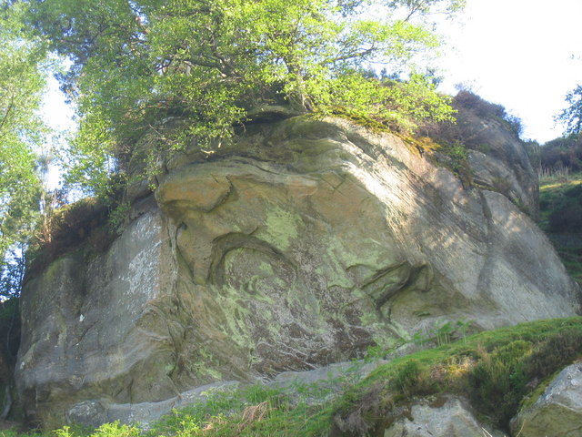
Images are sourced within 2km of 55.300451/-2.040402 or Grid Reference NT9700. Thanks to Geograph Open Source API. All images are credited.

Car park near Hepplewoodside Bridge
Woodhouses Bastle This bastle, located south-west of Holystone Grange, was built in the early 17th century. It is built of coarse stonework and measures 11.5m long by 7.5m wide. Inside is a vaulted basement, the entrance to which is carved with the date 1602. The basement was used to keep animals, but upstairs is the first floor living area. Here, there are a few small windows and two stone wall cupboards, a stone sink, and traces of an original fireplace. The bastle was increased in height in the 18th century when an attic was added and was restored and reroofed in 1904. This is a Scheduled Monument and Grade II* Listed Building protected by law.
<span class="nowrap"><a title="https://keystothepast.info/search-records/results-of-search/results-of-search-2/site-details/?PRN=N1192" rel="nofollow ugc noopener" href="https://keystothepast.info/search-records/results-of-search/results-of-search-2/site-details/?PRN=N1192">Link</a><img style="margin-left:2px;" alt="External link" title="External link - shift click to open in new window" src="https://s1.geograph.org.uk/img/external.png" width="10" height="10"/></span>
Woodhouses Bastle
This bastle, located south-west of Holystone Grange, was built in the early 17th century. It is built of coarse stonework and measures 11.5m long by 7.5m wide. Inside is a vaulted basement, the entrance to which is carved with the date 1602. The basement was used to keep animals, but upstairs is the first floor living area. Here, there are a few small windows and two stone wall cupboards, a stone sink, and traces of an original fireplace. The bastle was increased in height in the 18th century when an attic was added and was restored and reroofed in 1904. This is a Scheduled Monument and Grade II* Listed Building protected by law. LinkExternal link
Storm Arwen Damage at Dry Burn Wood
Near Hepple, under Swindon Hill On the other side of the River Coquet from Hepple.
Near Hepple, under Swindon Hill
On the other side of the River Coquet from Hepple.
Top of Bickerton Knowe with fields beyond The road runs through the corner of this square, and the foreground is the square.
Top of Bickerton Knowe with fields beyond
The road runs through the corner of this square, and the foreground is the square.
Stream near picnic area under Harehaugh Hill Taken down the stream at the picnic area. Stream runs into the River Coquet.
Stream near picnic area under Harehaugh Hill
Taken down the stream at the picnic area. Stream runs into the River Coquet.
Grasslees Burn near picnic area under Harehaugh Hill Taken downstream of the picnic area, towards the River Coquet.
Grasslees Burn near picnic area under Harehaugh Hill
Taken downstream of the picnic area, towards the River Coquet.
Beehives at Swindon in the valley of the Grasslees Burn
River Coquet, near Hepple, and view of the Northumbrian hills
River Coquet The River Coquet near Hepple.
River Coquet
The River Coquet near Hepple.
Witchy Neuk From below the crags
Witchy Neuk
From below the crags
Grasslees Burn Looking down the valley of Grasslees Burn from Hepplewoodside Bridge.
Grasslees Burn
Looking down the valley of Grasslees Burn from Hepplewoodside Bridge.
Hawthorn Blossom Hawthorn tree in blossom next to Grasslees Burn near Swindon.
Hawthorn Blossom
Hawthorn tree in blossom next to Grasslees Burn near Swindon.
Meander on the River Coquet Hepple village <a href="https://www.geograph.org.uk/gridref/NT9800">NT9800</a> in the middle distance.
Meander on the River Coquet
Hepple village NT9800 in the middle distance.
River Coquet Looking upstream with Hepple Bridge <a href="https://www.geograph.org.uk/gridref/NT9800">NT9800</a> in the middle distance.
River Coquet
Looking upstream with Hepple Bridge NT9800 in the middle distance.
Bickerton Knowe A small area of moorland on the south side of middle Coquetdale. The Simonside Hills beyond.
Bickerton Knowe
A small area of moorland on the south side of middle Coquetdale. The Simonside Hills beyond.
Hepplewoodside Bridge Bridge over a stream runs in to the River Coquet.
Hepplewoodside Bridge
Bridge over a stream runs in to the River Coquet.
Show me another place!

Kirk Hill is located at Grid Ref: NT9700 (Lat: 55.300451, Lng: -2.040402)

Unitary Authority: Northumberland

Police Authority: Northumbria

What 3 Words

///horizons.slim.refreshed. Near Rothbury, Northumberland

Nearby Locations

Kirk Hill

Related Wikis

Hepple

Hepple is a small village and parish in rural Northumberland, 4 miles (6.4 km) west of Rothbury, which provides most of its local services. It is on the...

Reivers Way

The Reivers Way is a long-distance footpath in Northumberland, passing through the Northumberland National Park and the Cheviot Hills. Totalling 242 kilometres...

Holystone, Northumberland

Holystone is a small village and former civil parish, now in the parish of Harbottle, in Northumberland, England. It lies on the edge of (and just within...

High Cove

High Cove is a major slip feature to the west of Grasslees Burn in the Simonside Hills, Northumberland, England. It contains several small rifts and caves...

Nearby Amenities

Located within 500m of 55.300451,-2.040402
Kirk Hill
Place: locality
Lat/Long: 55.2999791/-2.0409439
The Scroggs
Place: locality
Lat/Long: 55.3000336/-2.0482439
West Hepple
Place: locality
Lat/Long: 55.2997369/-2.0358291
Power: pole
Lat/Long: 55.2975214/-2.0362269
Power: pole
Lat/Long: 55.2980587/-2.0373951
Power: pole
Lat/Long: 55.2989194/-2.0342977
Power: pole
Lat/Long: 55.298974/-2.0380468
Power: pole
Lat/Long: 55.2998232/-2.0351288
Power: pole
Lat/Long: 55.2998419/-2.03863
The data included in this document is from www.openstreetmap.org. The data is made available under ODbL.

Have you been to Kirk Hill?

Leave your review of Kirk Hill below (or comments, questions and feedback).