Cabin Hill

Hill, Mountain in Yorkshire Richmondshire

England

Cabin Hill

Summer Lodge Looking down to  Summer Lodge with Scurvy Scar on the right.
Summer Lodge Credit: Colin Gregory

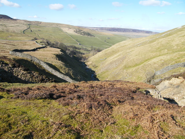
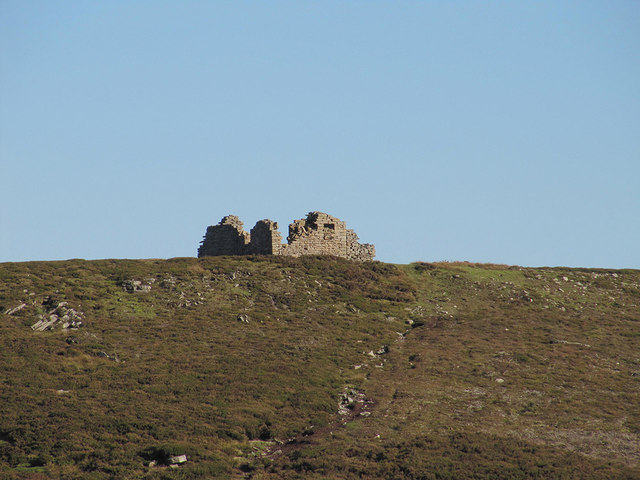
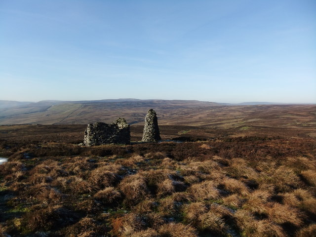
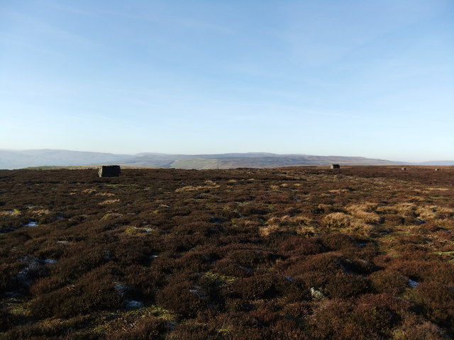
Cabin Hill is a picturesque hill located in the region of Yorkshire, England. Situated in the heart of the stunning Yorkshire Dales National Park, it offers breathtaking views of the surrounding countryside. Rising to an elevation of approximately 400 meters, Cabin Hill is not considered a mountain but rather a prominent hill in the area.

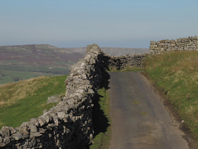
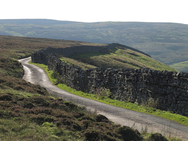
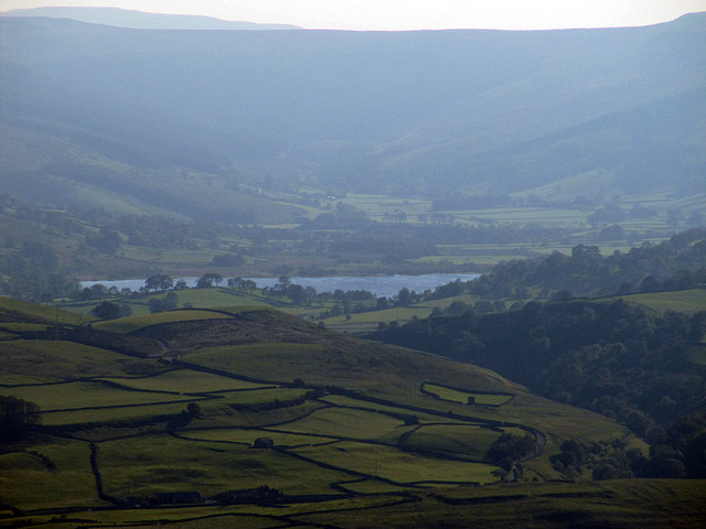
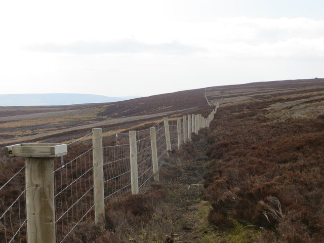
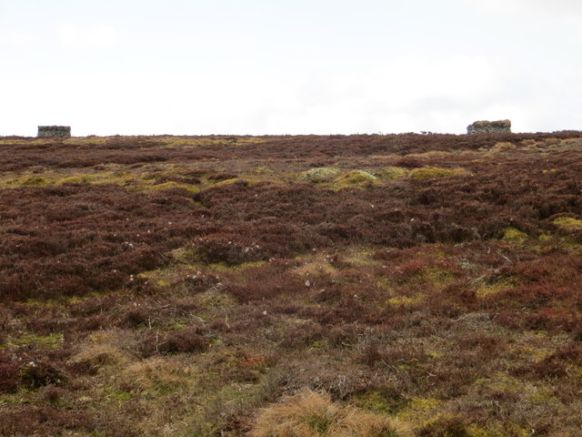
The hill is renowned for its diverse natural beauty and is a popular destination for outdoor enthusiasts, hikers, and nature lovers. Its rolling green slopes are covered in a patchwork of fields, heather moorland, and scattered trees, creating a picturesque landscape that is characteristic of the Yorkshire Dales.

Cabin Hill is home to a rich array of wildlife and flora, making it an important ecological site. Visitors may encounter indigenous species such as red grouse, curlews, and hares, as well as a variety of wildflowers and plants that thrive in the Yorkshire Dales' unique environment.

The hill offers several walking trails, varying in difficulty, allowing visitors to explore its natural wonders at their own pace. From the summit, one can enjoy panoramic views of the surrounding countryside, including the famous Three Peaks of Yorkshire – Pen-y-ghent, Whernside, and Ingleborough – which are visible on clear days.

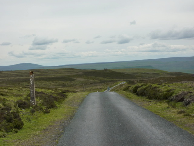
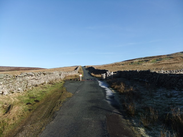
Cabin Hill is easily accessible, with nearby parking and public transportation options available. Whether one seeks a peaceful retreat in nature or an adventurous hike, Cabin Hill in Yorkshire offers a memorable experience for all who visit.

If you have any feedback on the listing, please let us know in the comments section below.

Cabin Hill Images

Images are sourced within 2km of 54.340107/-2.0413558 or Grid Reference SD9793. Thanks to Geograph Open Source API. All images are credited.

Summer Lodge Looking down to  Summer Lodge with Scurvy Scar on the right.
Summer Lodge
Looking down to Summer Lodge with Scurvy Scar on the right.
Road to Summer Lodge The sign says unsuitable to vehicles
Road to Summer Lodge
The sign says unsuitable to vehicles
Long Band With Greets Shooting House in the distance
Long Band
With Greets Shooting House in the distance
Walls above Summer Lodge Pasture
Cattle grid near Fleak Moss
Wall by the road above Summer Lodge Pasture
Greets Shooting House ruin
Semerwater seen from Windgate Greets Interesting distant view of Semerwater showing it's unusual elevated location above Wensleydale.
More information about semerwater from here.
<span class="nowrap"><a title="http://www.yorkshiredales.org.uk/visit-the-dales/discover-the-dales/lovely-lakes/semer-water" rel="nofollow ugc noopener" href="http://www.yorkshiredales.org.uk/visit-the-dales/discover-the-dales/lovely-lakes/semer-water">Link</a><img style="margin-left:2px;" alt="External link" title="External link - shift click to open in new window" src="https://s1.geograph.org.uk/img/external.png" width="10" height="10"/></span>
"Semer Water is a natural lake of glacial origin, a rare feature and one of the largest in Yorkshire. It was dammed at its lower end by glacial debris and was formerly much bigger reaching further up Raydale; the overflow from the lake formed the gorge and falls of the River Bain above Bainbridge. The former course of the Bain at the Countersett end is blocked by a drift tail. "
Semerwater seen from Windgate Greets
Interesting distant view of Semerwater showing it's unusual elevated location above Wensleydale. More information about semerwater from here. LinkExternal link "Semer Water is a natural lake of glacial origin, a rare feature and one of the largest in Yorkshire. It was dammed at its lower end by glacial debris and was formerly much bigger reaching further up Raydale; the overflow from the lake formed the gorge and falls of the River Bain above Bainbridge. The former course of the Bain at the Countersett end is blocked by a drift tail. "
Cattle Grid north of Askrigg
Beacon on Woodhall Greets
Grouse butts above Ellerkin Scar
Ellerkin Scar A wintry view, seen from the Heugh Lane track.
Ellerkin Scar
A wintry view, seen from the Heugh Lane track.
Greets Shooting House Viewed from the bridleway to the west
Greets Shooting House
Viewed from the bridleway to the west
Fence Line Looking south-east along the edge of Woodhall Greets.
Fence Line
Looking south-east along the edge of Woodhall Greets.
Grouse Butts Looking west from the path along the edge of Woodhall Greets.
Grouse Butts
Looking west from the path along the edge of Woodhall Greets.
The road up the Fleak The tortuous mountain road from Askrigg in Wensleydale over to Swaledale.
The road up the Fleak
The tortuous mountain road from Askrigg in Wensleydale over to Swaledale.
Signpost at Windgate Greets The signpost marks the beginning of a bridleway that goes nowhere in particular and may originally have led to peat cuttings. The view down the road is very fine and looks across Wensleydale into Raydale where Semerwater can be seen.
Signpost at Windgate Greets
The signpost marks the beginning of a bridleway that goes nowhere in particular and may originally have led to peat cuttings. The view down the road is very fine and looks across Wensleydale into Raydale where Semerwater can be seen.
View of Scar Brow with its Beacon
Show me another place!

Cabin Hill is located at Grid Ref: SD9793 (Lat: 54.340107, Lng: -2.0413558)

Division: North Riding

Administrative County: North Yorkshire

District: Richmondshire

Police Authority: North Yorkshire

What 3 Words

///budgeted.jabs.girder. Near Leyburn, North Yorkshire

Nearby Locations

Cabin Hill Beldon Bottom

Related Wikis

Richmondshire

Richmondshire was a local government district of North Yorkshire, England, from 1974 to 2023. It covered a large northern area of the Yorkshire Dales including...

Crackpot, North Yorkshire

Crackpot is a village in Swaledale, North Yorkshire, England. Its name derives from the Old English kraka (crow) and the Viking word pot (usually a pit...

Newbiggin, Askrigg

Newbiggin is a hamlet very close to Askrigg, North Yorkshire, England. Another Newbiggin is only about 7 miles (11 km) away. The hamlet consists of eight...

Nappa Hall

Nappa Hall is a fortified manor house in Wensleydale, North Yorkshire, England, described by English Heritage as "probably the finest and least-spoilt...

Woodhall, North Yorkshire

Woodhall is a small hamlet in Wensleydale, North Yorkshire, England. It is about 2 miles (3 km) away from Askrigg and 3 miles (5 km) north west of Aysgarth...
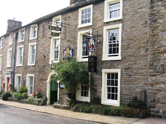
Kings Arms Hotel

The Kings Arms Hotel is a public house and inn in the English village of Askrigg, North Yorkshire. A Grade II listed building, standing on the northern...

Askrigg

Askrigg is a small village and civil parish in Wensleydale in the Yorkshire Dales National Park. It was formerly a part of the Richmondshire district of...

Cringley House

Cringley House (also known as Skeldale House) is an historic building in the English village of Askrigg, North Yorkshire. Standing on the south side of...

Nearby Amenities

Located within 500m of 54.340107,-2.0413558
Disused: yes
Historic: mine_shaft
Man Made: mineshaft
Source: NPE
Lat/Long: 54.3385772/-2.0376091
Disused: yes
Historic: mine_shaft
Man Made: mineshaft
Source: NPE
Lat/Long: 54.3387774/-2.035635
Disused: yes
Historic: mine_shaft
Man Made: mineshaft
Source: NPE
Lat/Long: 54.3366006/-2.0420294
Disused: yes
Historic: mine_shaft
Man Made: mineshaft
Source: NPE
Lat/Long: 54.3369509/-2.0421582
Disused: yes
Historic: mine_shaft
Man Made: mineshaft
Source: NPE
Lat/Long: 54.3372512/-2.0428877
The data included in this document is from www.openstreetmap.org. The data is made available under ODbL.

Have you been to Cabin Hill?

Leave your review of Cabin Hill below (or comments, questions and feedback).