Lodge Hill

Hill, Mountain in Staffordshire South Staffordshire

England

Lodge Hill

M6 southbound seen from M6 toll road
M6 southbound seen from M6 toll road Credit: Colin Pyle

Lodge Hill is a prominent hill located in Staffordshire, England. It is part of the Cannock Chase Area of Outstanding Natural Beauty and offers breathtaking views of the surrounding countryside. Standing at an elevation of approximately 240 meters (787 feet), it is considered one of the highest points in the county.

The hill is covered in a mix of dense woodland and heathland, providing a diverse habitat for a variety of flora and fauna. The area is known for its rich biodiversity, with several rare and protected species calling it home. Visitors to Lodge Hill can enjoy peaceful walks through the wooded trails, taking in the tranquil atmosphere and observing the wildlife that thrives in the area.

At the summit of Lodge Hill, there is a trig point that marks the highest point of the hill. This provides a fantastic vantage point to admire the stunning panoramic views of the Staffordshire countryside, with rolling hills and valleys stretching out as far as the eye can see. On clear days, it is even possible to see the distant peaks of the Peak District National Park.

Lodge Hill is a popular destination for nature enthusiasts, hikers, and photographers, offering a peaceful retreat away from the hustle and bustle of urban life. The hill provides an opportunity to connect with nature, appreciate the beauty of Staffordshire's landscape, and immerse oneself in the tranquility of the surroundings.

If you have any feedback on the listing, please let us know in the comments section below.
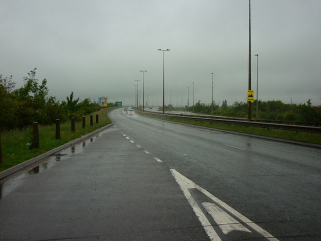
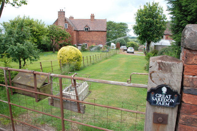
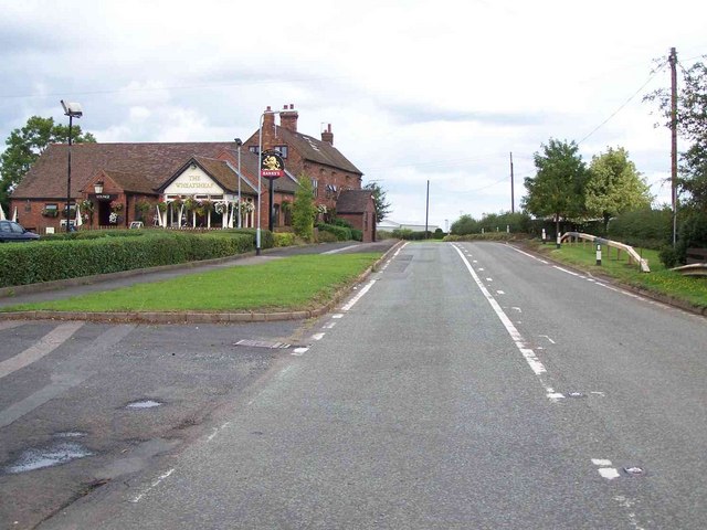
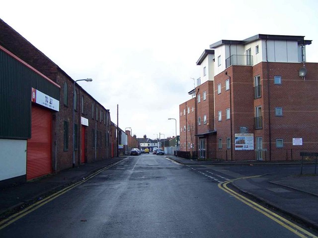
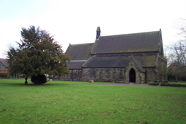
Lodge Hill Images

Images are sourced within 2km of 52.671139/-2.0471317 or Grid Reference SJ9608. Thanks to Geograph Open Source API. All images are credited.

M6 southbound seen from M6 toll road
Bideford Shops, Cannock
The A460 towards the M6 Toll Road
Looking Up To The A5 Roundabout>
Dale Engineering Co. This Is A Light Engineering Company, in Wedges Mills.
Dale Engineering Co.
This Is A Light Engineering Company, in Wedges Mills.
Roundabout On A5 Over Toll Road. M6 Toll road can be seen heading right for the M6 over the Argos Lorry. In the middle of the Picture there is lot of Construction work going on.
Roundabout On A5 Over Toll Road.
M6 Toll road can be seen heading right for the M6 over the Argos Lorry. In the middle of the Picture there is lot of Construction work going on.
Hair Studio. North St. Bridgtown.
Looking Down North Street. Bridgtown.
Walstell Garage, Cannock. Situated on the Longford Rd. Wolverhampton Rd. Intersection. Recently the Petrol Pumps and Shop had to close, leaving the Motor repair side still going.
Walstell Garage, Cannock.
Situated on the Longford Rd. Wolverhampton Rd. Intersection. Recently the Petrol Pumps and Shop had to close, leaving the Motor repair side still going.
Tumble Down Farm As the name suggests, this was a group of derelict farm buildings until a few years ago.
Tumble Down Farm
As the name suggests, this was a group of derelict farm buildings until a few years ago.
Great Saredon Farm
Great Saredon Farm
Great Saredon
Great Saredon
Saredon Hall Farm It looks as if there are several Barn conversions here now.
Saredon Hall Farm
It looks as if there are several Barn conversions here now.
M6 and M6 Toll road junction M6 north bound on the left, M6 south bound on the right, M6 Toll road in the middle, where are all the vehicles that are supposed to use it.
M6 and M6 Toll road junction
M6 north bound on the left, M6 south bound on the right, M6 Toll road in the middle, where are all the vehicles that are supposed to use it.
Heading towards Little Saredon
Didn't read the sign
Start of the houses Wood Lane, Wedges Mills
The Hollies Poultry Farm, Wolverhampton Road
Show me another place!

Lodge Hill is located at Grid Ref: SJ9608 (Lat: 52.671139, Lng: -2.0471317)

Administrative County: Staffordshire

District: South Staffordshire

Police Authority: Staffordshire

What 3 Words

///harp.tricks.types. Near Great Wyrley, Staffordshire

Nearby Locations

Lodge Hill

Related Wikis

Wedges Mills

Wedges Mills is a small village in the South Staffordshire District in Staffordshire, England, close to the border with Cannock Chase District. The area...

Cheslyn Hay Academy

Cheslyn Hay Academy (formerly Cheslyn Hay Sport and Community High School) is a mixed secondary school and sixth form located in Cheslyn Hay in the English...

Bridgtown

Bridgtown is a village and civil parish, in the Cannock Chase District of Staffordshire, England. It is situated on the A5 between Cannock and Great Wyrley...

Cheslyn Hay

Cheslyn Hay is a former mining village and civil parish in the South Staffordshire district of Staffordshire, England. It is 3 miles south of Cannock,...

Wyrley and Cheslyn Hay railway station

Wyrley and Cheslyn Hay railway station served the villages of Great Wyrley and Cheslyn Hay in Staffordshire, England, between 1858 and 1965. == History... ==

St Mark's Church, Great Wyrley

St Mark's is the parish church of Great Wyrley, South Staffordshire, England. It is known for having had the first South Asian vicar of any Church of England...

Churchbridge Junction

Churchbridge is a road junction situated between Churchbridge and Bridgtown in Staffordshire. It links the A5, A34, and A460 to the adjacent M6 Toll. The...

Saredon

Saredon is a civil parish in South Staffordshire district, Staffordshire, England, situated to the north east of Wolverhampton, West Midlands, and to the...

Nearby Amenities

Located within 500m of 52.671139,-2.0471317
Bus Stop
The Meadows
Naptan AtcoCode: 3800C609700
Naptan Bearing: N
Naptan CommonName: Woodhaven
Naptan Indicator: Adj
Naptan Landmark: Woodhaven
Naptan Street: Wolverhampton Rd
Naptan Verified: no
Public Transport: platform
Source: naptan_import
Lat/Long: 52.6728438/-2.0510673
Bus Stop
The Meadows
Naptan AtcoCode: 3800C609701
Naptan Bearing: S
Naptan BusStopType: CUS
Naptan CommonName: Woodhaven
Naptan Indicator: Opp
Naptan Landmark: Woodhaven
Naptan Street: Wolverhampton Road
Naptan Verified: no
Public Transport: platform
Source: naptan_import
Lat/Long: 52.6725832/-2.0509783
Bus Stop
Saredon Road
Naptan AtcoCode: 3800C692201
Naptan Bearing: SW
Naptan CommonName: Saredon Road
Naptan Indicator: Adj
Naptan Landmark: Saredon Road
Naptan Street: Wolverhampton Road
Naptan Verified: no
Public Transport: platform
Source: naptan_import
Lat/Long: 52.6697722/-2.0528103
Power: tower
Source: Bing
Lat/Long: 52.6709634/-2.0531982
Power: tower
Source: Bing
Lat/Long: 52.6711804/-2.0488178
Power: tower
Source: Bing
Lat/Long: 52.6715562/-2.0419021
Wedge's Mills
Place: hamlet
Source: OS StreetView Open Data
Lat/Long: 52.6746907/-2.0509029
Power: tower
Source: Bing
Lat/Long: 52.671342/-2.0457101
The data included in this document is from www.openstreetmap.org. The data is made available under ODbL.

Have you been to Lodge Hill?

Leave your review of Lodge Hill below (or comments, questions and feedback).