Bewick Hill
Hill, Mountain in Northumberland
England
Bewick Hill
Bewick Hill is a prominent geographical feature located in the county of Northumberland, England. Rising to an elevation of approximately 450 meters (1476 feet), it is classified as a hill rather than a mountain. Positioned within the Northumberland National Park, Bewick Hill forms part of the stunning landscape that characterizes this region.
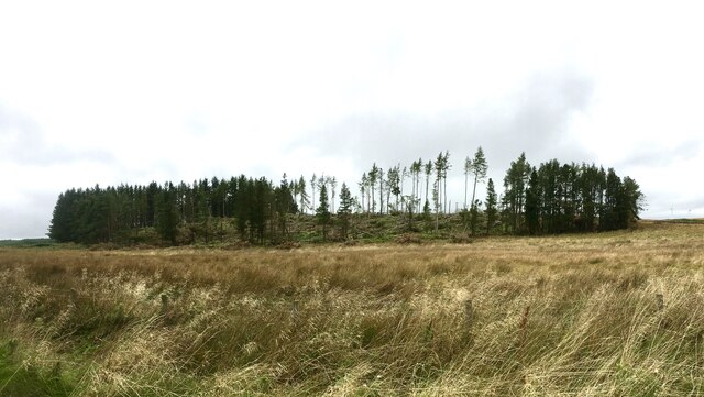
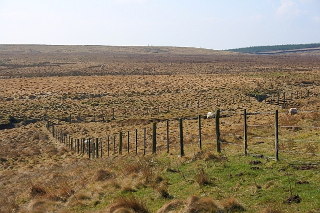
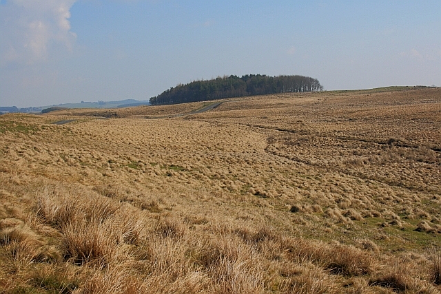
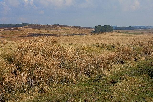
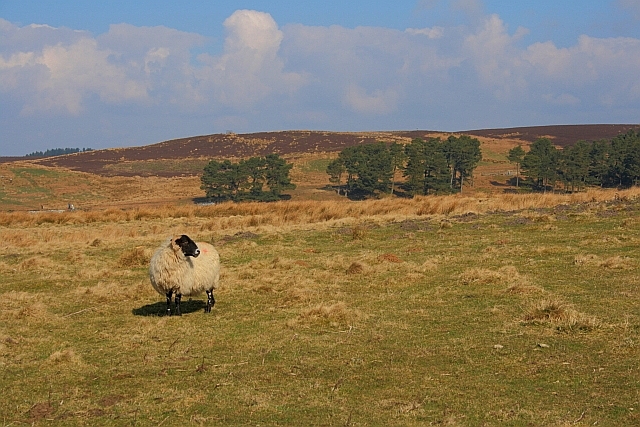
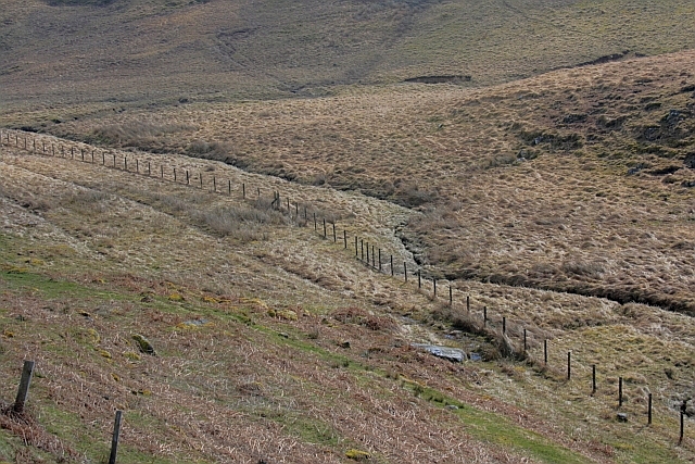
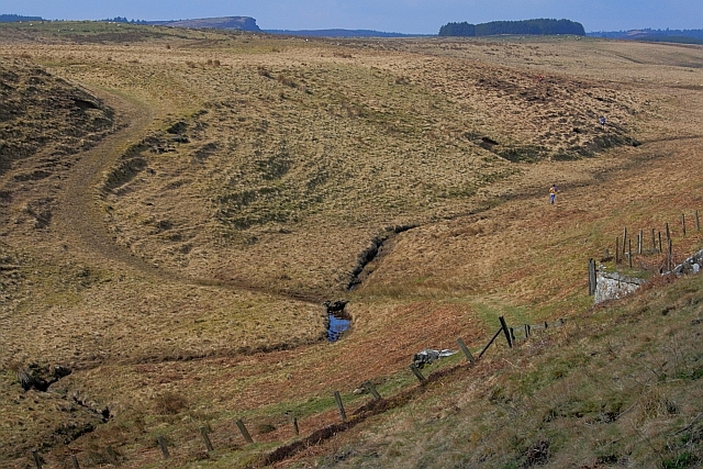
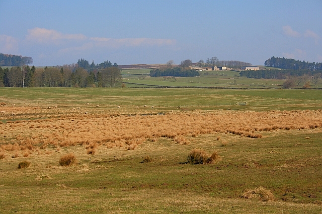
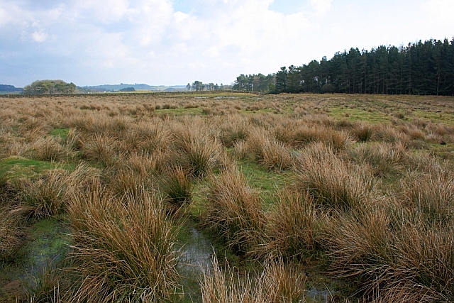
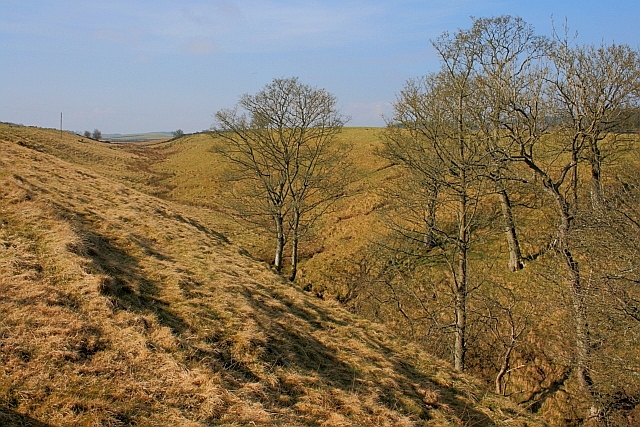
The hill is situated near the village of Chillingham, offering breathtaking views of the surrounding area. It is primarily composed of limestone, resulting in a unique topography and providing a rich habitat for various plant and animal species. The slopes of Bewick Hill are covered with a mixture of grasses, heather, and shrubs, creating a diverse and vibrant ecosystem.
Due to its elevated position, Bewick Hill presents a challenging yet rewarding climb for outdoor enthusiasts and hikers. The ascent is moderately steep, offering a moderate level of difficulty for those seeking an active adventure. The summit rewards visitors with panoramic views of the surrounding countryside, including the Cheviot Hills to the west and the North Sea to the east.
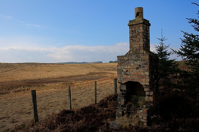
Bewick Hill is also steeped in history, with evidence of prehistoric settlements and ancient burial sites found in the vicinity. The area is dotted with remnants of ancient structures and stone circles, adding to its archaeological significance.
Overall, Bewick Hill in Northumberland is a picturesque and culturally significant landmark that attracts visitors for its natural beauty, recreational opportunities, and historical interest.
If you have any feedback on the listing, please let us know in the comments section below.
Bewick Hill Images
Images are sourced within 2km of 55.153469/-2.0625824 or Grid Reference NY9684. Thanks to Geograph Open Source API. All images are credited.


Bewick Hill is located at Grid Ref: NY9684 (Lat: 55.153469, Lng: -2.0625824)
Unitary Authority: Northumberland
Police Authority: Northumbria
What 3 Words
///upper.punters.condition. Near Corsenside, Northumberland
Nearby Locations
Related Wikis

Sweethope Loughs
Sweethope Loughs are two freshwater lakes almost 1 mile (1.6 km) in length, the smaller one just east of the larger, in the southern part of Northumberland...

Knowesgate railway station
Knowesgate was a stone-built railway station with goods sidings in Northumberland, England on the Wansbeck Railway between Morpeth and Reedsmouth, which...
Little Harle Tower
Little Harle Tower is a Grade II* listed privately owned country house with 15th-century origins, located at Little Harle, Kirkwhelpington, Northumberland...

Kirkwhelpington
Kirkwhelpington is a village and civil parish in the English county of Northumberland about 13 miles (21 km) northeast of Hexham. It is on the River Wansbeck...
Have you been to Bewick Hill?
Leave your review of Bewick Hill below (or comments, questions and feedback).