Phillis Hill

Hill, Mountain in Durham

England

Phillis Hill

Tractor about to pass Belmont Belmont is a deserted house on the north side of Teesdale high above the valley bottom. The photographer recalls that years ago there was scaffolding around the building which was being reroofed. Roof-work is needed again - slates can be seen to be missing near to the chimney. The crack on the gable wall that's apparent in other images has had some attention but the work looks less than professional.
Tractor about to pass Belmont Credit: Trevor Littlewood

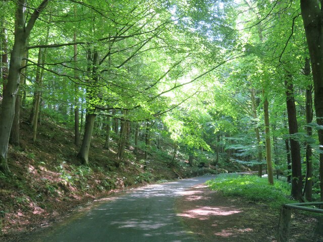
Phillis Hill is a prominent geographical feature situated in Durham, a county in the northeast of England. As the name suggests, it is a hill that is part of the larger Durham Hills range, which stretches across the region. Named after the nearby village of Phillis Hill, this natural landmark offers breathtaking views of the surrounding countryside.

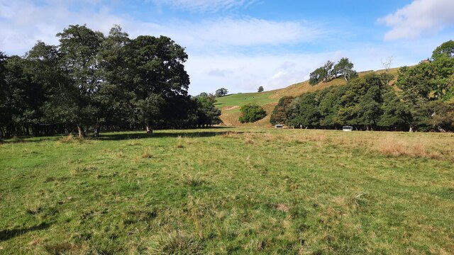
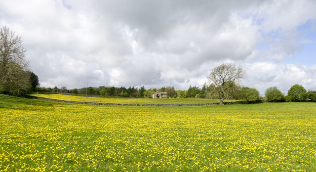
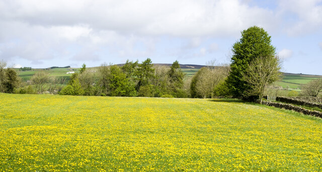
Phillis Hill is characterized by its gentle slopes and lush greenery, making it a popular destination for outdoor enthusiasts and nature lovers. The hill's elevation stands at approximately 250 meters (820 feet) above sea level, providing visitors with an elevated vantage point to appreciate the stunning landscapes of Durham.

The area surrounding Phillis Hill is rich in flora and fauna, with a variety of plant species thriving on its slopes. Wildflowers, grasses, and shrubs can be found in abundance, offering a vibrant display during the spring and summer months. In addition, the hill is home to several species of birds and small mammals, making it an ideal spot for birdwatching and wildlife observation.

For those seeking recreational activities, Phillis Hill offers numerous walking trails and footpaths that allow visitors to explore its scenic surroundings. Hiking to the summit provides a rewarding experience, as it offers panoramic views of the Durham countryside, including the nearby Durham Cathedral and the River Wear.

Overall, Phillis Hill in Durham is a picturesque and idyllic location, attracting both locals and tourists alike. Its natural beauty, combined with its accessibility and recreational opportunities, make it an appealing destination for those seeking tranquility in the heart of the English countryside.

If you have any feedback on the listing, please let us know in the comments section below.
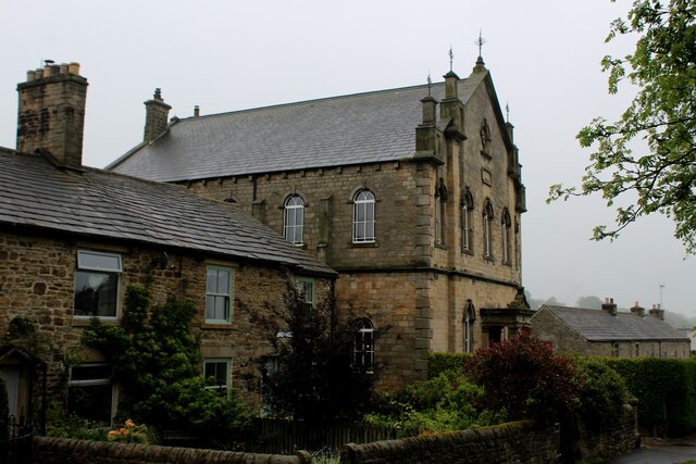
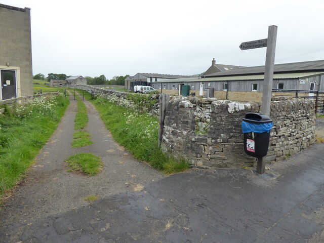
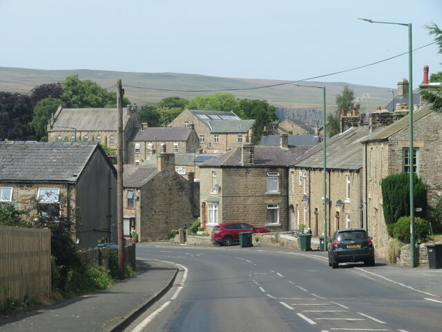
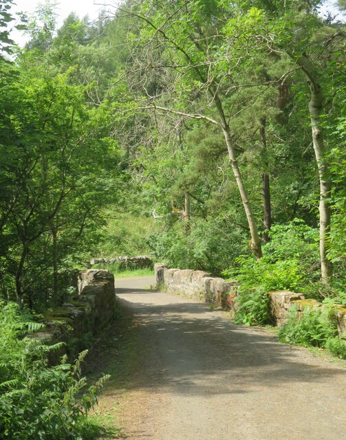
Phillis Hill Images

Images are sourced within 2km of 54.628765/-2.0656897 or Grid Reference NY9525. Thanks to Geograph Open Source API. All images are credited.

Tractor about to pass Belmont Belmont is a deserted house on the north side of Teesdale high above the valley bottom. The photographer recalls that years ago there was scaffolding around the building which was being reroofed. Roof-work is needed again - slates can be seen to be missing near to the chimney. The crack on the gable wall that's apparent in other images has had some attention but the work looks less than professional.
Tractor about to pass Belmont
Belmont is a deserted house on the north side of Teesdale high above the valley bottom. The photographer recalls that years ago there was scaffolding around the building which was being reroofed. Roof-work is needed again - slates can be seen to be missing near to the chimney. The crack on the gable wall that's apparent in other images has had some attention but the work looks less than professional.
Pasture adjacent to the River Tees This pasture is crossed while walking on the Teesdale Way walking Trail.
Pasture adjacent to the River Tees
This pasture is crossed while walking on the Teesdale Way walking Trail.
Rumours and Uttas Rumours coffee shop and the HQ of the Upper Teesdale Agricultural Support Services.
Rumours and Uttas
Rumours coffee shop and the HQ of the Upper Teesdale Agricultural Support Services.
Fields with dandelions Two fields in Teesdale close to Mickleton with countless dandelions among the grass.
Fields with dandelions
Two fields in Teesdale close to Mickleton with countless dandelions among the grass.
Massed dandelions in field The field is close to Mickleton and south of the River Lune as it heads towards its confluence with the Tees.
Massed dandelions in field
The field is close to Mickleton and south of the River Lune as it heads towards its confluence with the Tees.
Entering Middleton-in-Teesdale on the B6282 Entering the village on a wet day
Entering Middleton-in-Teesdale on the B6282
Entering the village on a wet day
Former Methodist Chapel, Middleton-in-Teesdale Former Primitive Methodist Church, now a private dwelling
Former Methodist Chapel, Middleton-in-Teesdale
Former Primitive Methodist Church, now a private dwelling
The Pennine Way near Middleton-in-Teesdale
Heading into Middleton in Teesdale The B6282 dropping into Middleton from the direction of Eggleston.
Heading into Middleton in Teesdale
The B6282 dropping into Middleton from the direction of Eggleston.
Bridge at the road end Bridge over Hudeshope Beck at the point where the tarmac runs out and a footpath begins.
Bridge at the road end
Bridge over Hudeshope Beck at the point where the tarmac runs out and a footpath begins.
Road through the woods Heading south towards Middleton in Teesdale along the minor road above the Hudeshope Beck.
Road through the woods
Heading south towards Middleton in Teesdale along the minor road above the Hudeshope Beck.
Window tracery from former church Grade II listed C13th window tracery from former church of St Mary, set in the graveyard of the modern church.
Window tracery from former church
Grade II listed C13th window tracery from former church of St Mary, set in the graveyard of the modern church.
Footbridge across Hudeshope Beck
Skears Lime Kilns A group of 6 lime kilns of varying age adjacent to the former Skears Quarry.
Skears Lime Kilns
A group of 6 lime kilns of varying age adjacent to the former Skears Quarry.
Dales Chapel, Middleton-in-Teesdale Former Primitive Methodist Chapel dated 1872.
Dales Chapel, Middleton-in-Teesdale
Former Primitive Methodist Chapel dated 1872.
Arch, Masterman Place, Middleton in Teesdale Archway over narrow road, dated 1823. By Ignatius Bonomi for the London Lead Company. Coursed squared sandstone with ashlar dressings. Classical style. High arch over entrance to new development by the company, providing housing for their most valued workers.
Grade II Listed (List Entry: 1203547) <span class="nowrap"><a title="https://historicengland.org.uk/listing/the-list/list-entry/1203547" rel="nofollow ugc noopener" href="https://historicengland.org.uk/listing/the-list/list-entry/1203547">Link</a><img style="margin-left:2px;" alt="External link" title="External link - shift click to open in new window" src="https://s1.geograph.org.uk/img/external.png" width="10" height="10"/></span>
Arch, Masterman Place, Middleton in Teesdale
Archway over narrow road, dated 1823. By Ignatius Bonomi for the London Lead Company. Coursed squared sandstone with ashlar dressings. Classical style. High arch over entrance to new development by the company, providing housing for their most valued workers. Grade II Listed (List Entry: 1203547) LinkExternal link
Arch, Masterman Place, Middleton in Teesdale See description here: <a href="https://www.geograph.org.uk/photo/7291750">NY9425 : Arch, Masterman Place, Middleton in Teesdale</a>
Arch, Masterman Place, Middleton in Teesdale
Dale View from Masterman Place
Show me another place!

Phillis Hill is located at Grid Ref: NY9525 (Lat: 54.628765, Lng: -2.0656897)

Unitary Authority: County Durham

Police Authority: Durham

What 3 Words

///scramble.wires.states. Near Mickleton, Co. Durham

Nearby Locations

Phillis Hill Lane Side

Related Wikis

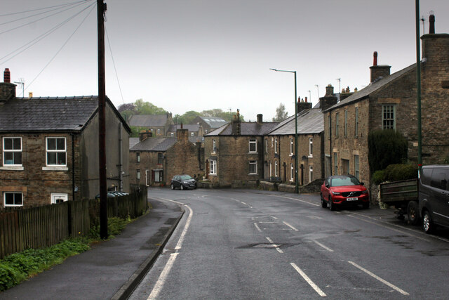
High Dyke, County Durham

High Dyke is a village in County Durham, in England. It is situated a short distance to the north of Middleton-in-Teesdale. == References ==

Middleton-in-Teesdale

Middleton-in-Teesdale is a market town and civil parish in County Durham, England. It is in Teesdale, on the River Tees's north banks, and surrounded by...

Snaisgill

Snaisgill is a hamlet in County Durham, in England. It is situated to the north of Middleton-in-Teesdale. The surrounding area was extensively mined for...

Middleton-in-Teesdale railway station

Middleton-in-Teesdale railway station was the terminus of the Tees Valley Railway from Barnard Castle. It served the town of Middleton-in-Teesdale. The...

Nearby Amenities

Located within 500m of 54.628765,-2.0656897
Lane Side
Place: hamlet
Lat/Long: 54.6243625/-2.0663834
Crags
Building: yes
Source: OS 1:25k
Lat/Long: 54.6303309/-2.0728338
Spring Hill
Building: yes
Source: OS 1:25k
Lat/Long: 54.6273178/-2.0649101
Barrier: entrance
Lat/Long: 54.6257706/-2.0632474
Blunt House
Building: house
Historic: house
Source: OS 1:25k
Lat/Long: 54.6293122/-2.0610926
Barrier: entrance
Lat/Long: 54.6270713/-2.0686618
Barrier: entrance
Lat/Long: 54.6257298/-2.0694478
Barrier: entrance
Lat/Long: 54.6271509/-2.0707697
Barrier: stile
Lat/Long: 54.6282939/-2.0637166
The data included in this document is from www.openstreetmap.org. The data is made available under ODbL.

Have you been to Phillis Hill?

Leave your review of Phillis Hill below (or comments, questions and feedback).