Leech-hope Crag

Hill, Mountain in Northumberland

England

Leech-hope Crag

Welcome sign A change from the usual 'Keep Out' sign.
This is a convenient parking area with fine views - even better in summer or winter!
<span class="nowrap"><a title="https://neilcarmichael.info/" rel="nofollow ugc noopener" href="https://neilcarmichael.info/">Link</a><img style="margin-left:2px;" alt="External link" title="External link - shift click to open in new window" src="https://s1.geograph.org.uk/img/external.png" width="10" height="10"/></span>   <span class="nowrap"><a title="https://neilcarmichael.info/dunshiel/camping/" rel="nofollow ugc noopener" href="https://neilcarmichael.info/dunshiel/camping/">Link</a><img style="margin-left:2px;" alt="External link" title="External link - shift click to open in new window" src="https://s1.geograph.org.uk/img/external.png" width="10" height="10"/></span>
Welcome sign Credit: Russel Wills

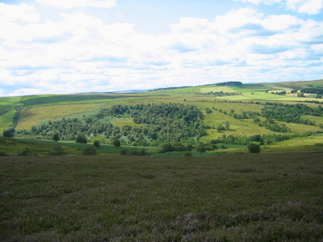
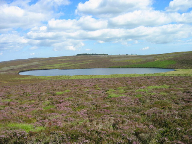
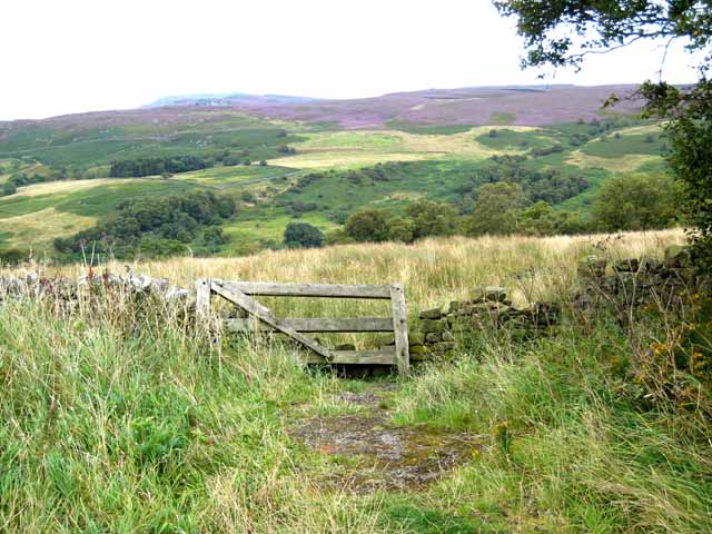
Leech-hope Crag is a prominent hill located in the county of Northumberland, England. It is situated in the Cheviot Hills, a range of rolling hills and rugged landscapes that form part of the Northumberland National Park. Leech-hope Crag is known for its stunning natural beauty and offers breathtaking panoramic views of the surrounding countryside.

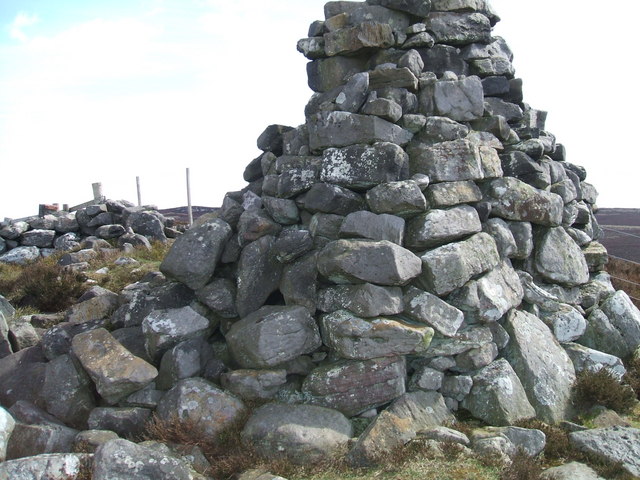
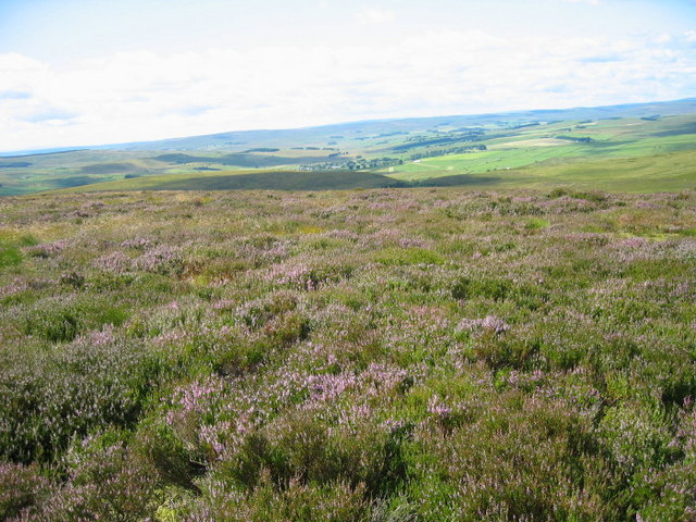
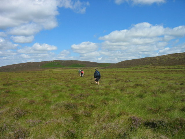
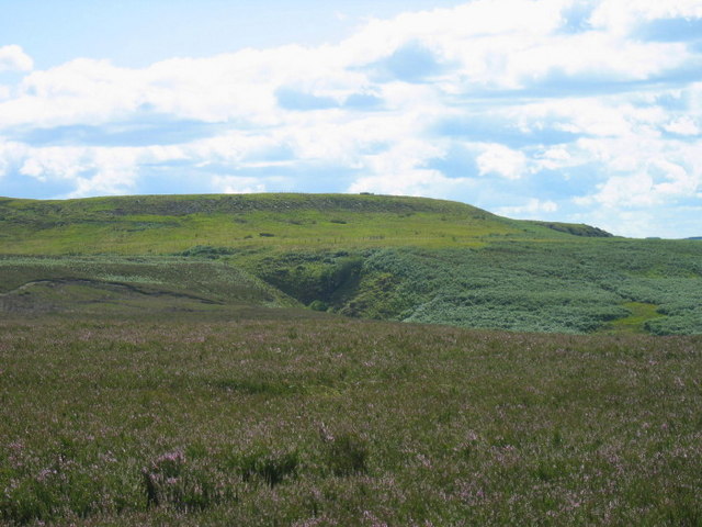
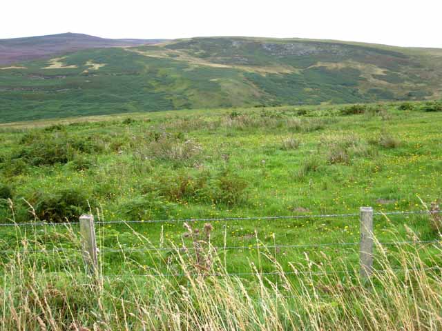
Standing at an elevation of approximately 537 meters (1,762 feet), Leech-hope Crag is a popular destination for hikers and outdoor enthusiasts. Its distinctive shape and position make it an easily recognizable landmark in the area. The hill is predominantly composed of rocky outcrops and heather-covered slopes, adding to its picturesque appeal.

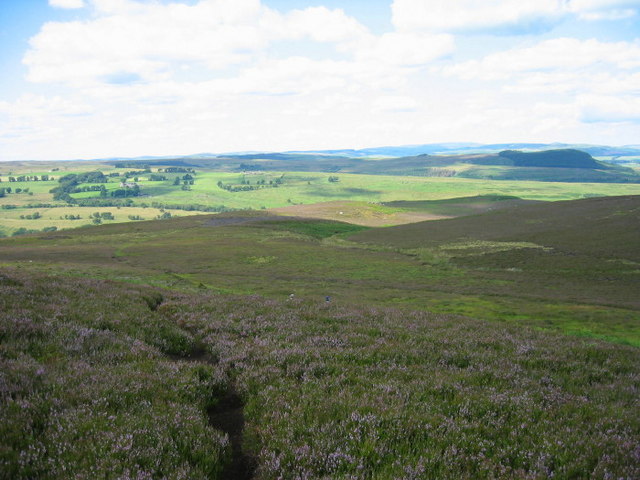
The ascent to the summit of Leech-hope Crag can be challenging, but the reward is well worth the effort. On a clear day, visitors are treated to far-reaching vistas that stretch across the undulating Cheviot Hills and beyond. The panoramic views showcase the unspoiled beauty of Northumberland, with its patchwork of green fields, meandering rivers, and scattered farmhouses.

Wildlife enthusiasts will also find Leech-hope Crag a haven for various species. The hill is home to a diverse range of flora and fauna, including several rare and protected plant species. Birdwatchers may be lucky enough to spot peregrine falcons, buzzards, or even the elusive golden eagle soaring through the skies above.

Leech-hope Crag offers a unique opportunity to immerse oneself in the natural wonders of Northumberland. Whether hiking to the summit or simply enjoying the breathtaking views from its base, this hill is a must-visit destination for those seeking tranquility, adventure, and a deep appreciation for the beauty of the British countryside.

If you have any feedback on the listing, please let us know in the comments section below.

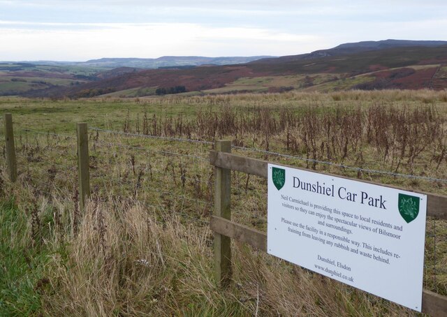
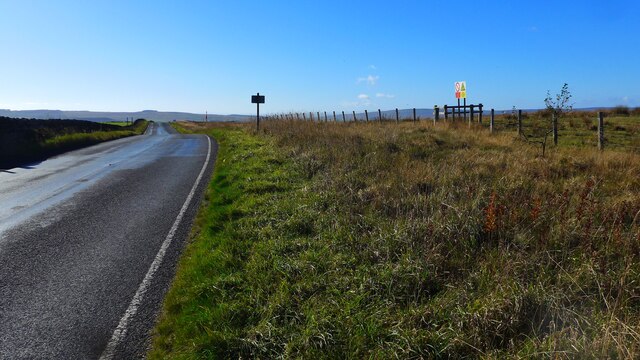
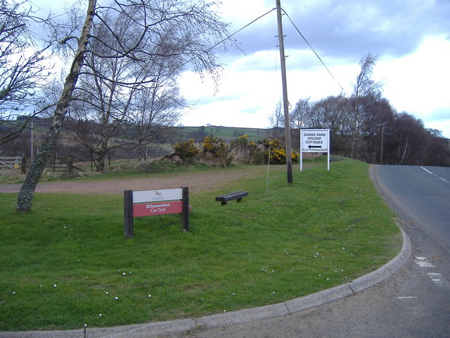
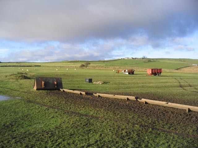
Leech-hope Crag Images

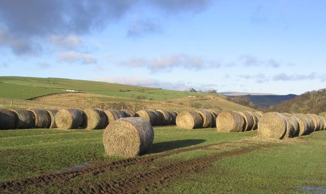
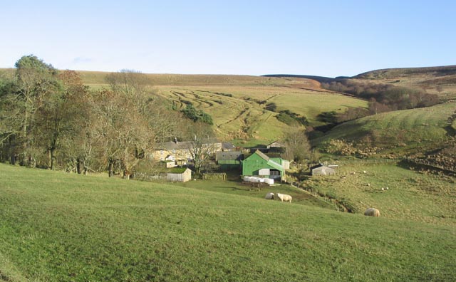
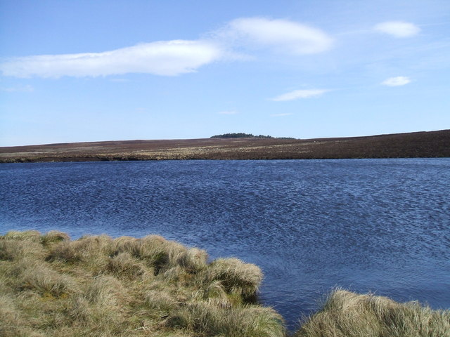
Images are sourced within 2km of 55.251788/-2.0702568 or Grid Reference NY9595. Thanks to Geograph Open Source API. All images are credited.

Welcome sign A change from the usual 'Keep Out' sign.
This is a convenient parking area with fine views - even better in summer or winter!
<span class="nowrap"><a title="https://neilcarmichael.info/" rel="nofollow ugc noopener" href="https://neilcarmichael.info/">Link</a><img style="margin-left:2px;" alt="External link" title="External link - shift click to open in new window" src="https://s1.geograph.org.uk/img/external.png" width="10" height="10"/></span>   <span class="nowrap"><a title="https://neilcarmichael.info/dunshiel/camping/" rel="nofollow ugc noopener" href="https://neilcarmichael.info/dunshiel/camping/">Link</a><img style="margin-left:2px;" alt="External link" title="External link - shift click to open in new window" src="https://s1.geograph.org.uk/img/external.png" width="10" height="10"/></span>
Welcome sign
A change from the usual 'Keep Out' sign. This is a convenient parking area with fine views - even better in summer or winter! LinkExternal link LinkExternal link
The B6341 approaching Elsdon
Billsmoorfoot Car Park Northumberland National Park small car park with a few small benches where occasionally you can find people having a picnic.
Billsmoorfoot Car Park
Northumberland National Park small car park with a few small benches where occasionally you can find people having a picnic.
Even your camouflage won't help you. If you are in a military vehicle you must turn right at this point at this entrance to the MOD ranges to the north of Elsdon
Even your camouflage won't help you.
If you are in a military vehicle you must turn right at this point at this entrance to the MOD ranges to the north of Elsdon
A field at Hudspeth Farm A field saturated with recent heavy rain. Bowershield Farm is on the skyline.
A field at Hudspeth Farm
A field saturated with recent heavy rain. Bowershield Farm is on the skyline.
Bales at Hudspeth Farm
Hudspeth Farm
Hudspeth Farm
Darden Lough A hidden gem, well worth the walk.
Darden Lough
A hidden gem, well worth the walk.
Darden Pike Cairn at Darden Pike. Great place to sit and have lunch on a bright sunny day, and survey the surrounding farmland and moorland as I have done on many occasions
Darden Pike
Cairn at Darden Pike. Great place to sit and have lunch on a bright sunny day, and survey the surrounding farmland and moorland as I have done on many occasions
King's Dod looking towards Couquetdale
Moorland near Darden Pike
Darden Cleugh
Darden Cleugh
Footpath leading to Cloven Crag
Billsmoor Park
Billsmoor Park
North Riding Farm
North Riding Farm
Darden Lough
Darden Lough
Looking across the valley of the Park Burn Seen from the B6341 Otterburn to Rothbury road. The cliffs on the far side of the valley are Leech-hope Crag <a href="https://www.geograph.org.uk/gridref/NY9595">NY9595</a>.
Looking across the valley of the Park Burn
Seen from the B6341 Otterburn to Rothbury road. The cliffs on the far side of the valley are Leech-hope Crag NY9595.
Billsmoor Park Seen from the B6341 Otterburn to Rothbury road. Simonside <a href="https://www.geograph.org.uk/gridref/NZ0298">NZ0298</a> can be seen on the skyline.
Billsmoor Park
Seen from the B6341 Otterburn to Rothbury road. Simonside NZ0298 can be seen on the skyline.
Show me another place!

Leech-hope Crag is located at Grid Ref: NY9595 (Lat: 55.251788, Lng: -2.0702568)

Unitary Authority: Northumberland

Police Authority: Northumbria

What 3 Words

///behave.greet.breakaway. Near Otterburn, Northumberland

Related Wikis

Billsmoor Park and Grasslees Wood

Billsmoor Park and Grasslees Wood is the name given to a Site of Special Scientific Interest (SSSI) in Northumberland, North East England, designated in...

Elsdon Castle

Elsdon Castle is a castle in the village of Elsdon about 10 miles (16 km) to the southwest of Rothbury, in Northumberland, England, and also known as Mote...

High Cove

High Cove is a major slip feature to the west of Grasslees Burn in the Simonside Hills, Northumberland, England. It contains several small rifts and caves...

Elsdon Tower

Elsdon Tower is a Grade I listed medieval tower house converted for use as a Rectory situated at Elsdon, Northumberland. Originally part of the estate...
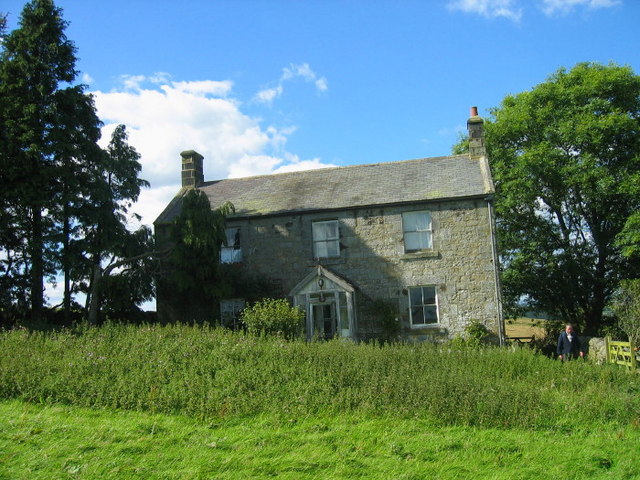
Nearby Amenities

Located within 500m of 55.251788,-2.0702568
Colster Crag
Place: locality
Lat/Long: 55.2482507/-2.0702673
Leech Hope Crag
Ele: 322
Natural: peak
Lat/Long: 55.2517359/-2.0739259
The data included in this document is from www.openstreetmap.org. The data is made available under ODbL.

Have you been to Leech-hope Crag?

Leave your review of Leech-hope Crag below (or comments, questions and feedback).