Goodleigh Hill

Hill, Mountain in Worcestershire Wychavon

England

Goodleigh Hill

Turning for Great Comberton
Turning for Great Comberton Credit: Sarah Charlesworth

Goodleigh Hill is a prominent hill located in Worcestershire, England. It is part of the Malvern Hills range, which stretches across the counties of Worcestershire, Herefordshire, and Gloucestershire. Standing at an elevation of approximately 280 meters (920 feet), Goodleigh Hill offers stunning panoramic views of the surrounding countryside and is a popular destination for hikers, nature enthusiasts, and photographers.

The hill is characterized by its distinctive shape, with a gently sloping eastern side and a more rugged and steep western side. It is covered in lush green vegetation, including grasses, shrubs, and trees, providing a habitat for a variety of wildlife. The hill is also home to several species of birds, mammals, and insects, making it a haven for nature lovers.

Goodleigh Hill is easily accessible, with a network of footpaths and trails leading to its summit. These paths range in difficulty, catering to both casual walkers and more experienced hikers. Along the way, visitors can enjoy the beauty of the surrounding countryside, including rolling hills, meadows, and woodlands.

At the top of Goodleigh Hill, visitors can take in the breathtaking views of the Malvern Hills and the Worcestershire countryside. On clear days, it is possible to see as far as the Cotswolds, the Black Mountains, and even the Bristol Channel. The hill provides a peaceful and serene setting, allowing visitors to relax and unwind in nature's embrace.

Overall, Goodleigh Hill is a picturesque and tranquil hill in Worcestershire, offering magnificent vistas and a chance to connect with the natural beauty of the area.

If you have any feedback on the listing, please let us know in the comments section below.

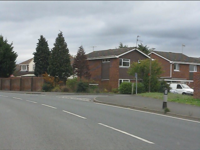
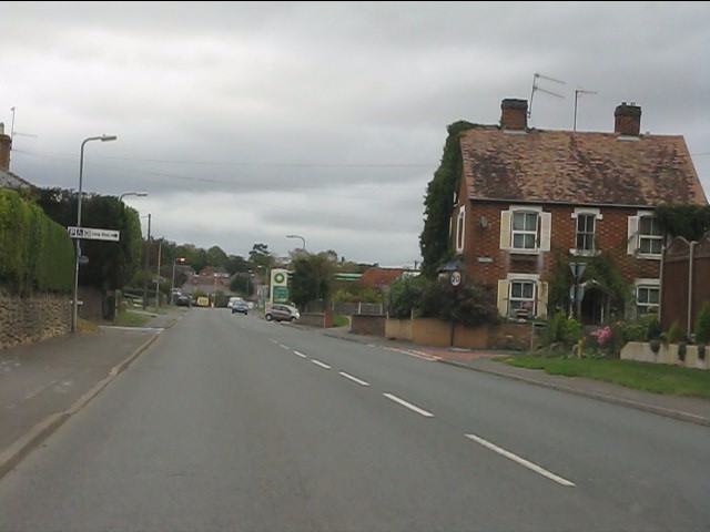
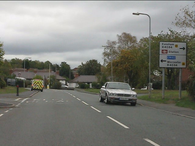
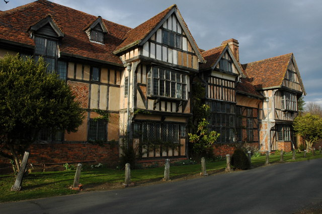
Goodleigh Hill Images

Images are sourced within 2km of 52.100357/-2.0659262 or Grid Reference SO9544. Thanks to Geograph Open Source API. All images are credited.

Turning for Great Comberton
Approach to Little Comberton
Awaiting the builders This land beside the A4104 in Pershore is about to be built on.
Awaiting the builders
This land beside the A4104 in Pershore is about to be built on.
Work begins This land beside the A4104 is going to be built on.  Work has started as the ground is being excavated.
Work begins
This land beside the A4104 is going to be built on. Work has started as the ground is being excavated.
Bloor Homes devepment This land beside the A4104 in Pershore is about to be built on by Bloor Homes.
Bloor Homes devepment
This land beside the A4104 in Pershore is about to be built on by Bloor Homes.
Pershore retail market car park A freshly wetted scene after a sudden summer downpour .
Pershore retail market car park
A freshly wetted scene after a sudden summer downpour .
Path to Old House Farm Private drive also a public path.
Path to Old House Farm
Private drive also a public path.
Footbridge by Old House Farm Paths divide on other side, three directions.
Footbridge by Old House Farm
Paths divide on other side, three directions.
Pershore Abbey In fact, this is merely the chapel from what was originally a much larger complex.  The people of Pershore bought the church to save it from dissolution in the 1530s.

Pershore Abbey was originally granted its charter in 974, but the oldest parts of this building are from the 12th century.
Pershore Abbey
In fact, this is merely the chapel from what was originally a much larger complex. The people of Pershore bought the church to save it from dissolution in the 1530s. Pershore Abbey was originally granted its charter in 974, but the oldest parts of this building are from the 12th century.
A4104 approaching Pershore
A4104 near Pershore cemetery
Welcome to Pershore - eventually Road works and 3-way traffic lights on the A4104.
Welcome to Pershore - eventually
Road works and 3-way traffic lights on the A4104.
Esso filling station on Three Springs Road
Modern housing on Abbey Crescent
Three Springs Road at New Road
Three Springs Road approaching Worcester Road
Building development, Pershore Building development by the builders, Bellway on Three Springs Road in Pershore.
Building development, Pershore
Building development by the builders, Bellway on Three Springs Road in Pershore.
Building development, Pershore Building development by builders, Bellway on Three Springs Road in Pershore.
Building development, Pershore
Building development by builders, Bellway on Three Springs Road in Pershore.
Show me another place!

Goodleigh Hill is located at Grid Ref: SO9544 (Lat: 52.100357, Lng: -2.0659262)

Administrative County: Worcestershire

District: Wychavon

Police Authority: West Mercia

What 3 Words

///grapes.foggy.dream. Near Pershore, Worcestershire

Nearby Locations

Goodleigh Hill

Related Wikis

Oswaldslow

The Oswaldslow (sometimes Oswaldslaw) was a hundred in the English county of Worcestershire, which was named in a supposed charter of 964 by King Edgar...

Number 8, Pershore

Number 8 is a community arts centre in the English town of Pershore. It includes a 250-seat auditorium used for music, theatre and cinema events, a small...

Wick, Worcestershire

Wick is a village in the district of Wychavon in the county of Worcestershire, England. It is located 2 miles from the town of Pershore in the Vale...
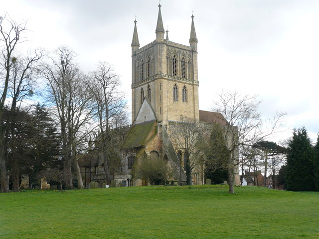
Pershore Abbey

Pershore Abbey, at Pershore in Worcestershire, was an Anglo-Saxon abbey and is now an Anglican parish church, the Church of the Holy Cross. == History... ==

Related Videos

The Millennium Way - Egdon to Pershore

Our final stage of the Millennium Way East to West walk. This section took us from Egdon across farmland into Stoulton before ...

An Evening Walk Around Pershore Town & Abbey, Worcestershire, UK 12th April 2024 #walking #4k

An evening walk around Pershore town & Abbey. 4K Pershore, Worcestershire, England Videoed on Friday, UK 12th April 2024 ...

August Bank Holiday Monday

Join us at 10am on our YouTube channel for our premiere of our virtual tower and Abbey tour which we bring to you as the final ...

Nearby Amenities

Located within 500m of 52.100357,-2.0659262
Bus Stop
Pensham-Bank
Bus: yes
Naptan AtcoCode: 2000G066300
Naptan Bearing: NE
Naptan CommonName: Pensham-Bank
Naptan Indicator: Opp
Naptan Landmark: Great Comberton Road
Naptan NaptanCode: wocdtdwt
Naptan Street: Great Comberton Road
Naptan Verified: no
Public Transport: platform
Source: naptan_import
Lat/Long: 52.1020087/-2.0712758
Goodleigh Hill- Pershore
Naptan AtcoCode: 2000G323238
Naptan Bearing: SE
Naptan BusStopType: CUS
Naptan CommonName: Goodleigh Hill- Pershore
Naptan Indicator: adj
Naptan Landmark: Goodleigh Hill
Naptan NaptanCode: wocdgwjd
Naptan Street: Goodleigh Hill- Pershore
Naptan Verified: no
Source: naptan_import
Lat/Long: 52.0974698/-2.0688307
Pensham Hill
Naptan AtcoCode: 2000G323248
Naptan Bearing: SW
Naptan BusStopType: CUS
Naptan CommonName: Pensham Hill
Naptan Indicator: Adj
Naptan Landmark: Great Comberton Road
Naptan NaptanCode: wocdgwmj
Naptan Street: Great Comberton Road
Naptan Verified: no
Source: naptan_import
Lat/Long: 52.1019729/-2.0709984
Bus Stop
College of Horticulture
Bus: yes
Naptan AtcoCode: 2000G501695
Naptan Bearing: W
Naptan CommonName: College of Horticulture
Naptan Indicator: Adj
Naptan NaptanCode: wocgdgtg
Naptan Street: B4084
Naptan Verified: no
Public Transport: platform
Source: naptan_import
Lat/Long: 52.1032006/-2.0622695
Goodleigh Hill- Pershore
Naptan AtcoCode: 2000G678003
Naptan Bearing: NW
Naptan BusStopType: CUS
Naptan CommonName: Goodleigh Hill- Pershore
Naptan Indicator: Adj
Naptan Landmark: Goodleigh Hill
Naptan NaptanCode: wocdgwgj
Naptan Street: Goodleigh Hill
Naptan Verified: no
Source: naptan_import
Lat/Long: 52.0974427/-2.0690788
Barrier: height_restrictor
Maxheight: 2
Lat/Long: 52.1036232/-2.0705891
Location Transition: yes
Power: pole
Lat/Long: 52.0989998/-2.072838
Power: pole
Lat/Long: 52.101627/-2.0602021
Power: pole
Lat/Long: 52.1018984/-2.0596515
Power: pole
Lat/Long: 52.1013279/-2.0609122
Location Transition: yes
Power: pole
Lat/Long: 52.1010231/-2.0618892
Power: pole
Lat/Long: 52.1007583/-2.0632551
Avon Bank Horticultural Inst No 2
Power: pole
Transformer: distribution
Voltage Primary: 11000
Lat/Long: 52.1005515/-2.0641375
Power: pole
Lat/Long: 52.1000189/-2.065203
Avon Bank Packing Sheds
Power: pole
Transformer: distribution
Voltage Primary: 11000
Lat/Long: 52.099551/-2.0661666
Power: pole
Lat/Long: 52.0988738/-2.0655839
Power: pole
Lat/Long: 52.0985327/-2.0653063
Power: pole
Lat/Long: 52.0981513/-2.0649509
Power: pole
Lat/Long: 52.0974452/-2.0643528
Power: pole
Lat/Long: 52.0970226/-2.0640095
Marybrook
Power: pole
Transformer: distribution
Voltage Primary: 11000
Lat/Long: 52.0967054/-2.0637567
Pershore Horticultural College
Power: transformer
Transformer: distribution
Voltage Primary: 11000
Lat/Long: 52.1011278/-2.0633201
Wick Sewage Pumping Station
Power: pole
Transformer: distribution
Voltage Primary: 11000
Lat/Long: 52.103118/-2.0684646
Location Transition: yes
Power: pole
Lat/Long: 52.1037095/-2.0675171
Power: pole
Lat/Long: 52.1044381/-2.0663661
The data included in this document is from www.openstreetmap.org. The data is made available under ODbL.

Have you been to Goodleigh Hill?

Leave your review of Goodleigh Hill below (or comments, questions and feedback).