Higher Booth Hollings Hill
Hill, Mountain in Lancashire
England
Higher Booth Hollings Hill
Higher Booth Hollings Hill is a prominent hill located in the county of Lancashire, England. Situated in the southern part of the county, it forms part of the beautiful West Pennine Moors, a designated Area of Outstanding Natural Beauty.
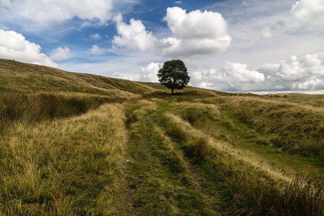
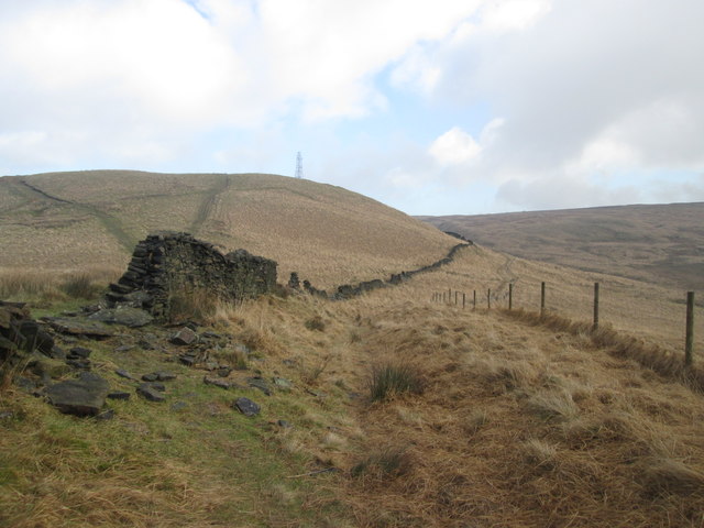
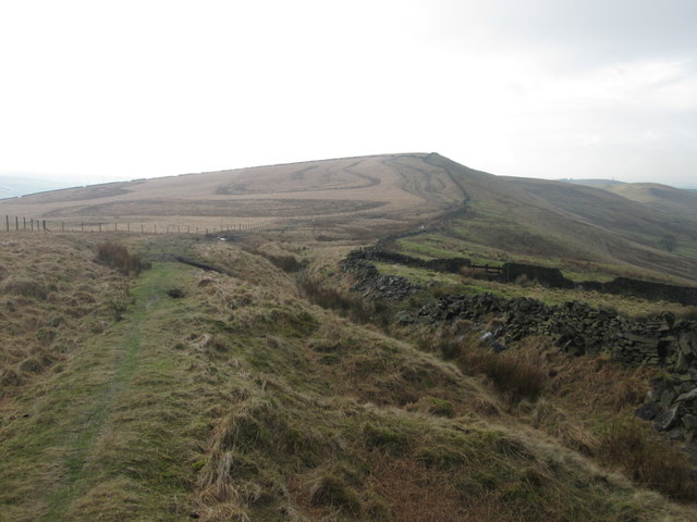
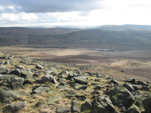
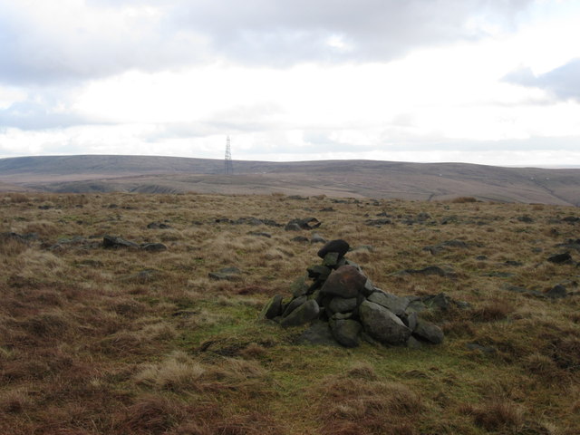
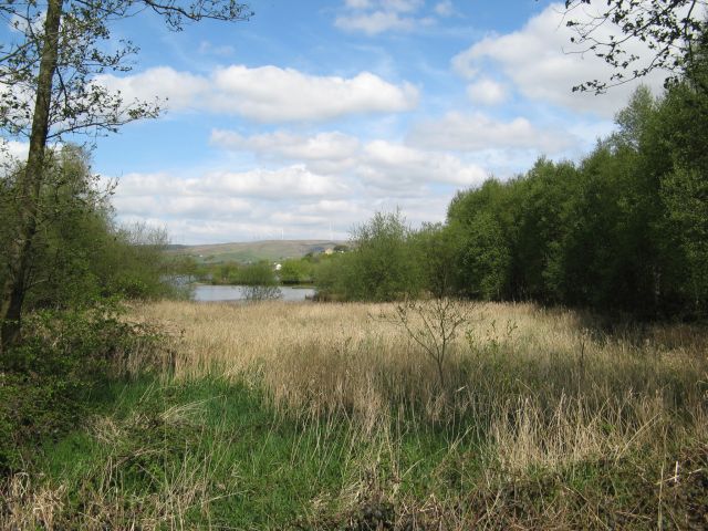
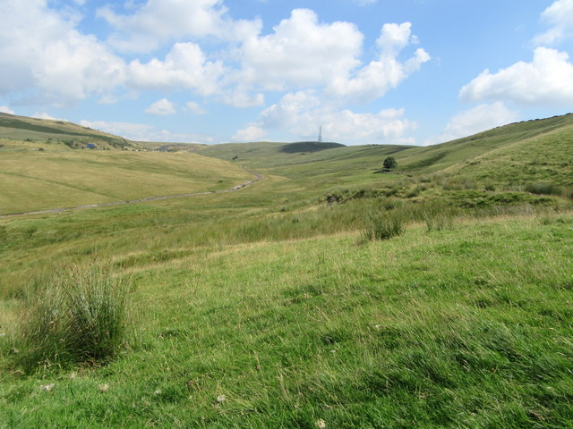
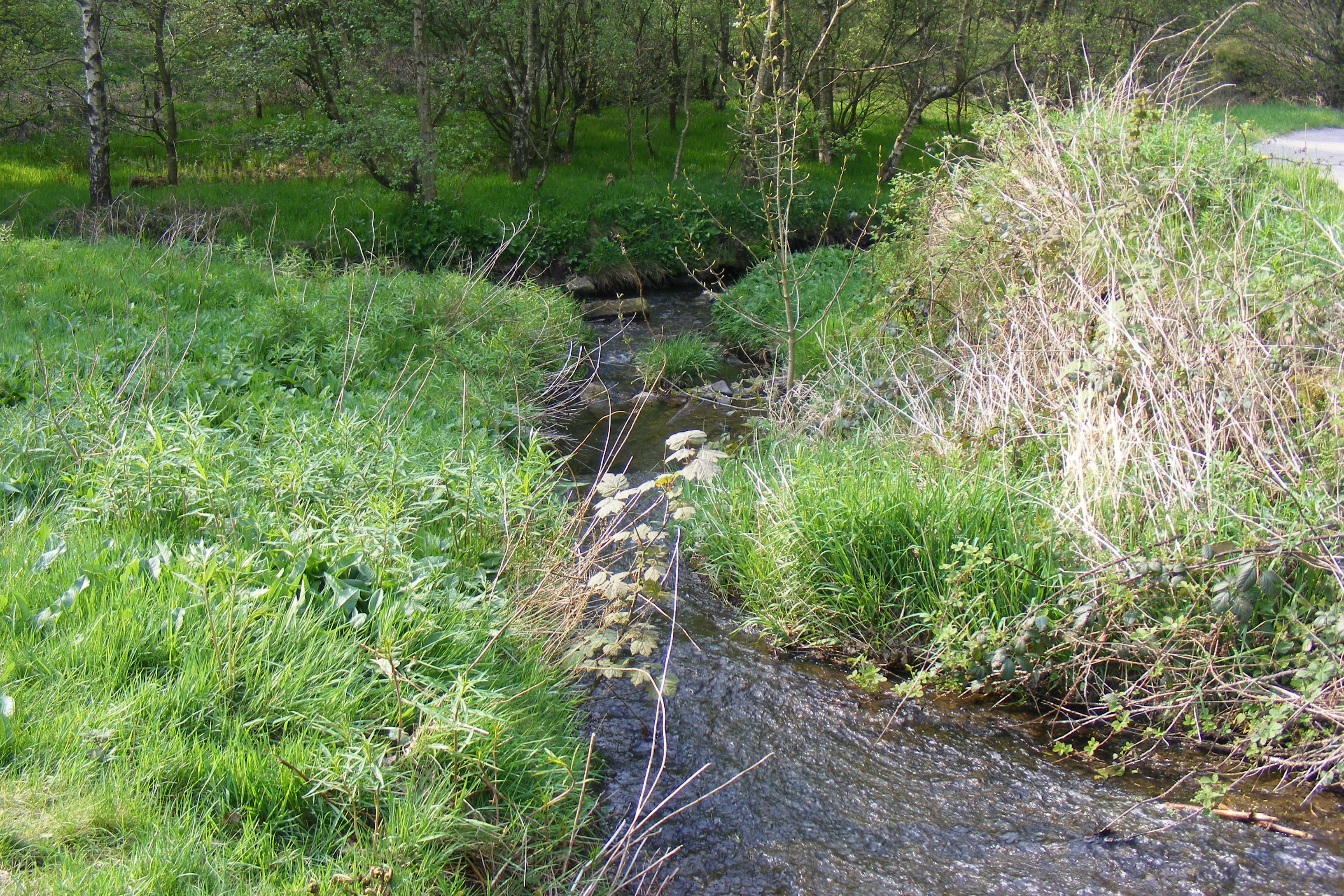
Rising to an elevation of approximately 380 meters (1,247 feet), Higher Booth Hollings Hill offers breathtaking panoramic views of the surrounding countryside. The hill is characterized by its gently sloping terrain, covered in heather, grasses, and scattered rocky outcrops. It is a popular destination for nature lovers, hikers, and photographers seeking to capture the stunning landscapes.
The hill is home to a diverse range of flora and fauna, including heathland plants, such as bilberry and heather, as well as various bird species, such as curlews and lapwings. The area is also known for its rich historical significance, with archaeological remains indicating human activity dating back to the Bronze Age.
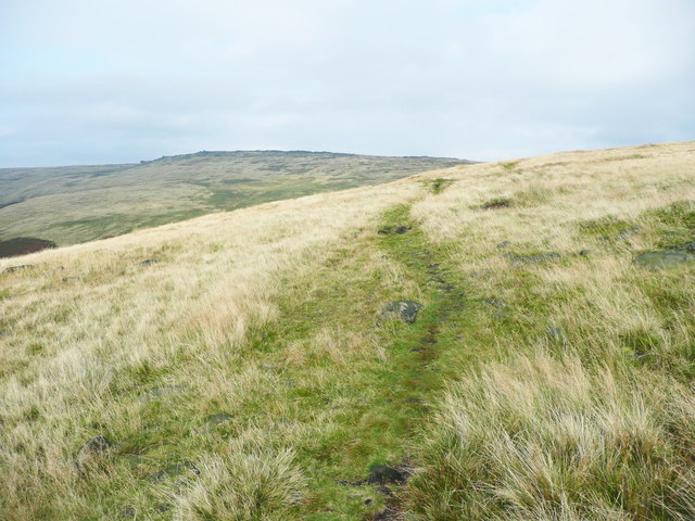
Visitors can access Higher Booth Hollings Hill through a network of well-maintained footpaths and trails, which offer different routes and levels of difficulty for all abilities. The hill provides an ideal opportunity for outdoor activities, such as walking, hiking, and picnicking, allowing visitors to immerse themselves in the natural beauty of the West Pennine Moors.
With its stunning vistas, diverse wildlife, and historical significance, Higher Booth Hollings Hill is a must-visit destination for anyone seeking to explore the natural wonders of Lancashire. Whether for leisurely walks or more challenging hikes, the hill offers a serene escape from the bustle of daily life and a chance to connect with nature in a truly remarkable setting.
If you have any feedback on the listing, please let us know in the comments section below.
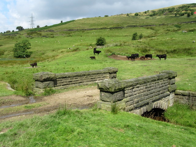
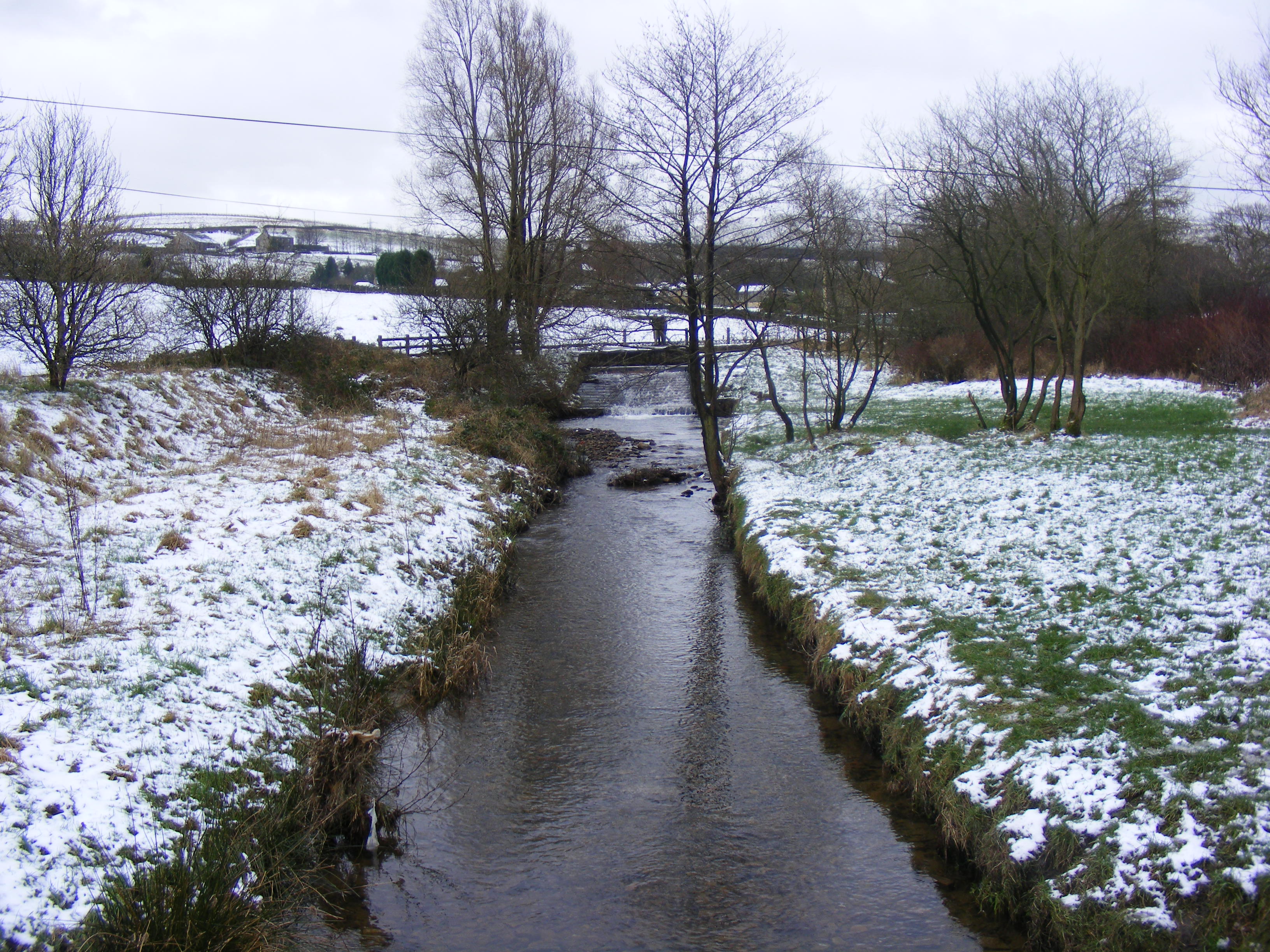
Higher Booth Hollings Hill Images
Images are sourced within 2km of 53.626247/-2.0714045 or Grid Reference SD9514. Thanks to Geograph Open Source API. All images are credited.


Higher Booth Hollings Hill is located at Grid Ref: SD9514 (Lat: 53.626247, Lng: -2.0714045)
Unitary Authority: Rochdale
Police Authority: Greater Manchester
What 3 Words
///mint.servicing.cowboy. Near Littleborough, Manchester
Nearby Locations
Related Wikis

Rakewood Viaduct
The Rakewood Viaduct carries the M62 motorway over Rakewood Valley and Longden End Brook between junctions 21 and 22 at Littleborough, Greater Manchester...

Whittaker Wood
Whittaker Wood is a woodland in Greater Manchester, England, near Littleborough. It covers a total area of 1.88 hectares (4.65 acres). It is owned and...
Longden End Brook
Longden End Brook is a watercourse in Greater Manchester. It rises near Windy Hill, and flows down Rakewood Valley and underneath the M62 motorway at Rakewood...

Tunshill
Tunshill is a hamlet at the northeastern edge of Milnrow, within the Metropolitan Borough of Rochdale, in Greater Manchester, England. It lies amongst...

Brearley Brook
Brearley Brook is a watercourse in Greater Manchester and a tributary of Hollingworth Brook. The original source was on Low House Moor but this has been...
Rochdale Way
The Rochdale Way is a circular 45-mile (72 km) walking route around the Metropolitan Borough of Rochdale in Greater Manchester, which takes in the best...

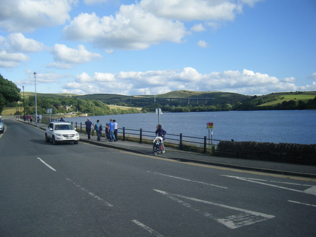
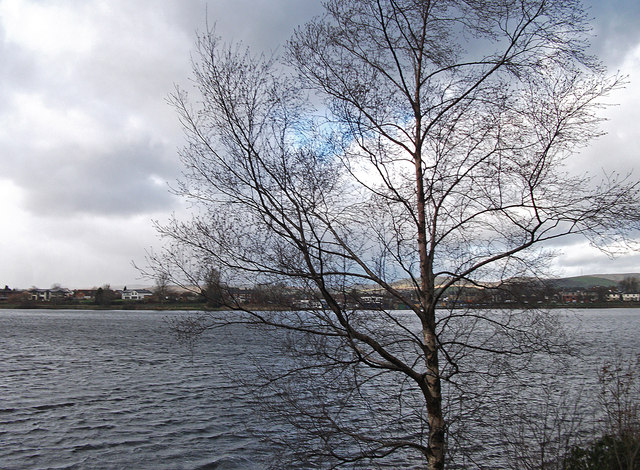
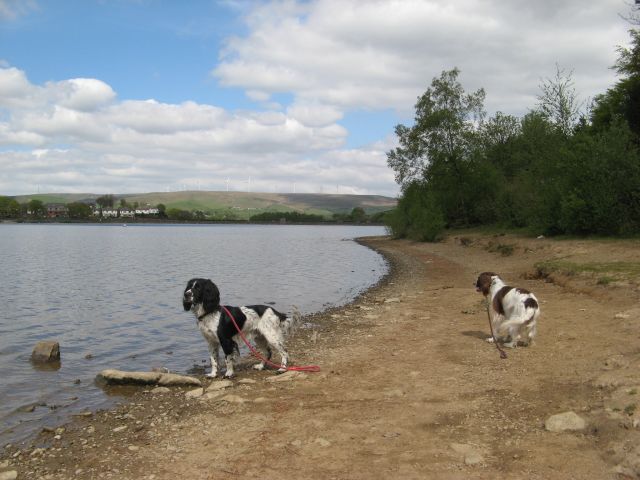
Hollingworth Lake
Hollingworth Lake is a 130-acre (53 ha) reservoir at Smithy Bridge in Littleborough, Greater Manchester, England. It was originally built as the main water...
Shore Lane Brook
Shore Lane Brook is a water course in Greater Manchester and a tributary of Ealees Brook in Littleborough.
Nearby Amenities
Located within 500m of 53.626247,-2.0714045Have you been to Higher Booth Hollings Hill?
Leave your review of Higher Booth Hollings Hill below (or comments, questions and feedback).