Harbours Hill
Hill, Mountain in Worcestershire Bromsgrove
England
Harbours Hill

Harbours Hill is a prominent geological feature located in the county of Worcestershire, England. Situated in the western part of the county, it forms part of the Malvern Hills range, a designated Area of Outstanding Natural Beauty. Harbours Hill stands at an elevation of approximately 390 meters (1,280 feet) above sea level, making it one of the tallest hills in Worcestershire.
This hill is characterized by its distinctive shape, with a steep incline on one side and a gentler slope on the other. The summit offers breathtaking panoramic views of the surrounding countryside, including the neighboring hills and valleys. The area is rich in natural beauty, with an abundance of flora and fauna, making it a popular destination for hikers, nature enthusiasts, and photographers.
Harbours Hill is also of historical significance, with evidence of human activity dating back thousands of years. Archaeological discoveries in the area have revealed traces of ancient settlements and burial mounds, highlighting its importance as a cultural and historical landmark.
The hill is easily accessible, with well-maintained footpaths and trails leading to the top. Visitors can embark on a challenging hike or a leisurely stroll, depending on their preferences and fitness levels. Additionally, there are picnic spots and benches along the way, providing opportunities for relaxation and enjoying the stunning scenery.
In conclusion, Harbours Hill is a remarkable hill located in Worcestershire, offering a combination of natural beauty, historical significance, and outdoor recreational activities. It is a cherished destination for locals and visitors alike, showcasing the diverse and captivating landscapes of the region.
If you have any feedback on the listing, please let us know in the comments section below.
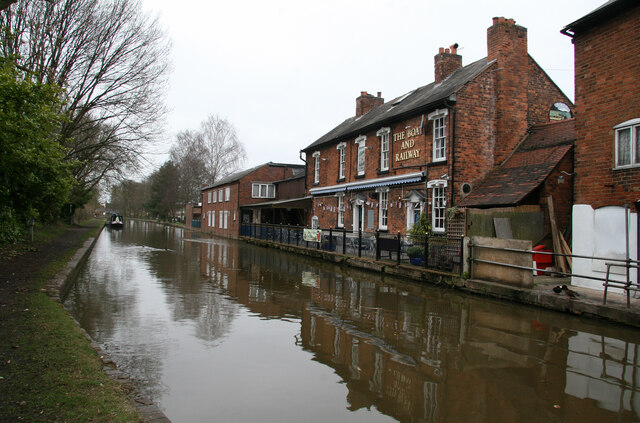
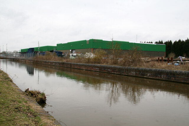
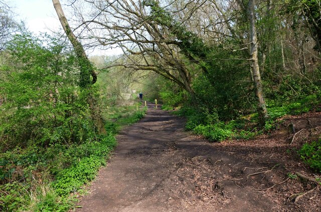
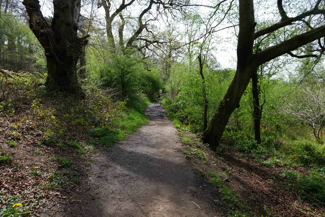
Harbours Hill Images
Images are sourced within 2km of 52.29364/-2.0694542 or Grid Reference SO9566. Thanks to Geograph Open Source API. All images are credited.


Harbours Hill is located at Grid Ref: SO9566 (Lat: 52.29364, Lng: -2.0694542)
Administrative County: Worcestershire
District: Bromsgrove
Police Authority: West Mercia
What 3 Words
///alert.waving.memo. Near Stoke Prior, Worcestershire
Nearby Locations
Related Wikis

Stoke Works railway station
Stoke Works railway station was a station in the hamlet of Stoke Prior in the English county of Worcestershire, near Bromsgrove. It was located on the...

Stoke Prior, Worcestershire
Stoke Prior is a village in the civil parish of Stoke in the Bromsgrove district of Worcestershire. The parish includes the settlement of Stoke Wharf and...

St Mary the Virgin, Hanbury
The church of St Mary the Virgin is an Anglican parish church in the village of Hanbury, Worcestershire. Its earliest parts date from about 1210 and it...
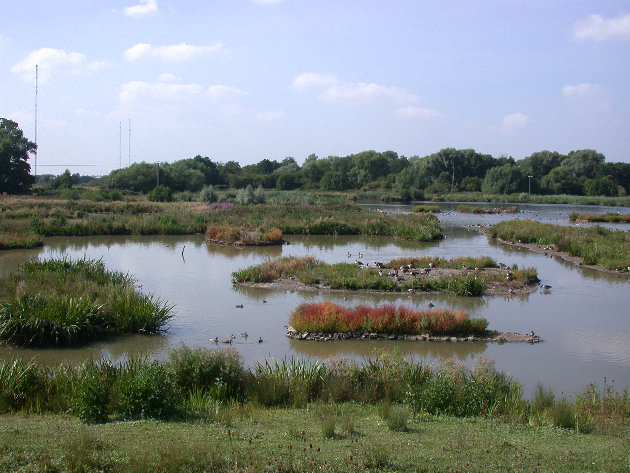
Christopher Cadbury Wetland Reserve
The Christopher Cadbury Wetland Reserve is a nature reserve of the Worcestershire Wildlife Trust. It is situated near Upton Warren, between Bromsgrove...

Avoncroft Museum of Historic Buildings
Avoncroft Museum of Historic Buildings is an open-air museum of rescued buildings which have been relocated to its site in Stoke Heath, a district of Bromsgrove...

Droitwich Transmitting Station
The Droitwich transmitting station is a large broadcasting facility for long-wave and medium-wave transmissions, established in 1934 in the civil parish...

Hanbury Hall
Hanbury Hall is a large 18th-century stately home standing in parkland at Hanbury, Worcestershire. The main range has two storeys and is built of red brick...

Upton Warren
Upton Warren is a village and civil parish in the Wychavon district, in Worcestershire, England. The village is situated just off the A38 road between...
Nearby Amenities
Located within 500m of 52.29364,-2.0694542Have you been to Harbours Hill?
Leave your review of Harbours Hill below (or comments, questions and feedback).