Birney Hill
Hill, Mountain in Northumberland
England
Birney Hill
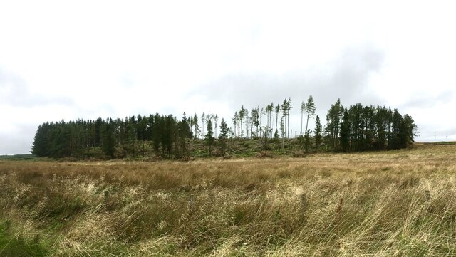
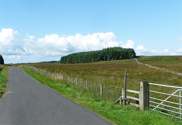
Birney Hill is a prominent hill located in the county of Northumberland, England. It is situated approximately 5 miles north-west of the town of Morpeth and stands at an elevation of around 305 feet (93 meters) above sea level. The hill is part of the undulating landscape of Northumberland, known for its picturesque countryside and historic landmarks.
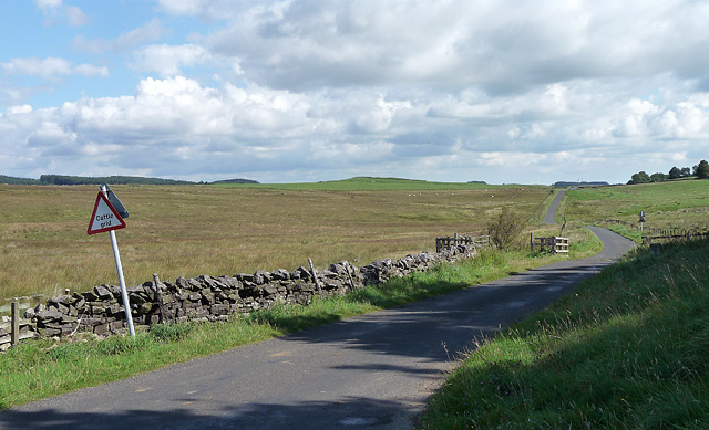
Birney Hill offers breathtaking panoramic views of the surrounding countryside, with its summit providing a vantage point to observe the nearby towns and villages, as well as the sweeping River Wansbeck. The hill is covered in lush green vegetation, dotted with trees and shrubs, creating a tranquil and serene atmosphere.
The area around Birney Hill is rich in history, as evidenced by the presence of several ancient sites nearby. One notable landmark is the Birney Hill Fort, an Iron Age hillfort believed to have been built around 600 BC. The fort offers insight into the region's ancient past and provides a glimpse into the lives of the people who once occupied it.
Today, Birney Hill is a popular destination for outdoor enthusiasts and nature lovers. The hill offers excellent opportunities for hiking, walking, and picnicking, with well-maintained trails that lead visitors through its scenic surroundings. The peaceful ambiance and stunning vistas make it a favored spot for locals and tourists alike.
In conclusion, Birney Hill is a picturesque and historically significant hill in Northumberland. With its commanding views and rich cultural heritage, it is a must-visit destination for those seeking natural beauty and a glimpse into England's ancient past.
If you have any feedback on the listing, please let us know in the comments section below.
Birney Hill Images
Images are sourced within 2km of 55.128463/-2.0756065 or Grid Reference NY9581. Thanks to Geograph Open Source API. All images are credited.


![Disused limestone quarry, north of Quarry House &quot;Firstly, at the east of this part of the area, is a limekiln [site 12] which is also marked on the Thockrington Tithe Map of 1844. No kiln is marked on the site in the Second Edition Ordnance Survey Map (1898) - indicating that it was disused by that date - but the map indicates a quarry adjacent and to the east of the site of the limekiln. This quarry would have been the source of limestone when the kiln was operating. Today, the limekiln appears only as a grassy mound, although the ramp which was used for loading the kiln is evident on the south side. No arch (from which the lime was drawn) is now visible, but it is likely that at least one drawing arch was originally located at the foot of the north side of the kiln, facing the modern tarmac road.&quot;
A Field Survey at Quarry House and North Heugh Farms, Northumberland.
P.C. Sellers and D.H. Prothero (1991). Northern Archaeology Vol.11 p.57-72.](https://s2.geograph.org.uk/geophotos/07/40/29/7402902_73839b2c.jpg)


Birney Hill is located at Grid Ref: NY9581 (Lat: 55.128463, Lng: -2.0756065)
Unitary Authority: Northumberland
Police Authority: Northumbria
What 3 Words
///conforms.madness.losing. Near Corsenside, Northumberland
Nearby Locations
Related Wikis

Sweethope Loughs
Sweethope Loughs are two freshwater lakes almost 1 mile (1.6 km) in length, the smaller one just east of the larger, in the southern part of Northumberland...

Thockrington
Thockrington is a village and former civil parish, now in the parish of Bavington, in Northumberland, England. The village lies about 10 miles (16 km)...
Bavington Crags
Bavington Crags is a Site of Special Scientific Interest (SSSI) in north Northumberland, England. The site is an outcropping of the Whin Sill which gives...

Colt Crag Reservoir
Colt Crag Reservoir is a relatively shallow reservoir in Northumberland, England adjacent to the A68 road, and 9 miles (14 km) north of Corbridge. The...
Nearby Amenities
Located within 500m of 55.128463,-2.0756065Have you been to Birney Hill?
Leave your review of Birney Hill below (or comments, questions and feedback).