Battle Hill

Hill, Mountain in Northumberland

England

Battle Hill

Leehouse Linn
Leehouse Linn Credit: Leanmeanmo

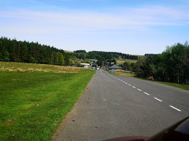
Battle Hill is a prominent hill located in the county of Northumberland, England. Situated near Hexham, it is a part of the Pennines, a range of hills and mountains that stretches across northern England. Standing at an elevation of approximately 260 meters (853 feet), Battle Hill offers breathtaking panoramic views of the surrounding countryside.

The hill derives its name from its historical significance, as it was believed to be the site of a battle between the Vikings and the Saxons during the early medieval period. This battle is said to have taken place in the year 865 AD and is commonly referred to as the Battle of Hexham.

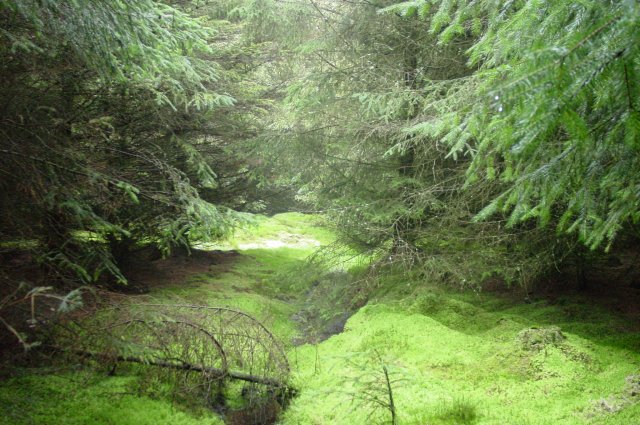
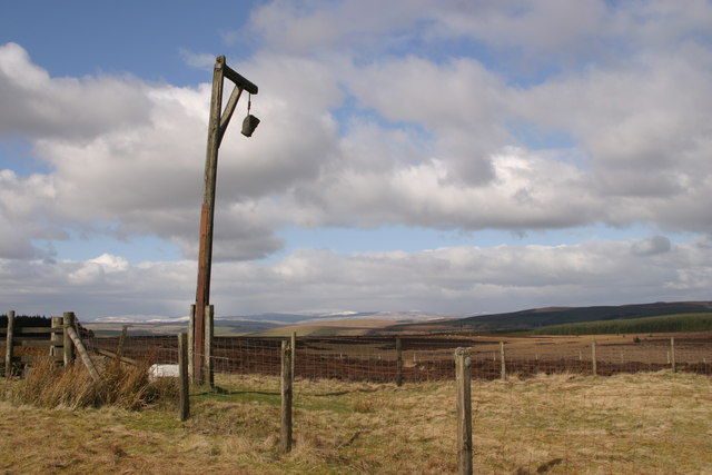
The terrain of Battle Hill is predominantly rugged and rocky, covered in heather, grass, and patches of woodland. It is a haven for outdoor enthusiasts, attracting hikers, walkers, and nature lovers who are drawn to its natural beauty and tranquility. The hill provides several walking trails and footpaths that allow visitors to explore its diverse flora and fauna.

Additionally, Battle Hill is home to an abundance of wildlife, including various species of birds, mammals, and insects. It is particularly renowned for its population of red squirrels, which are a rare sight in many parts of the United Kingdom.

Thanks to its accessibility and rich historical and natural features, Battle Hill serves as a popular destination for both locals and tourists seeking outdoor adventures and a glimpse into the region's past.

If you have any feedback on the listing, please let us know in the comments section below.
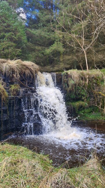
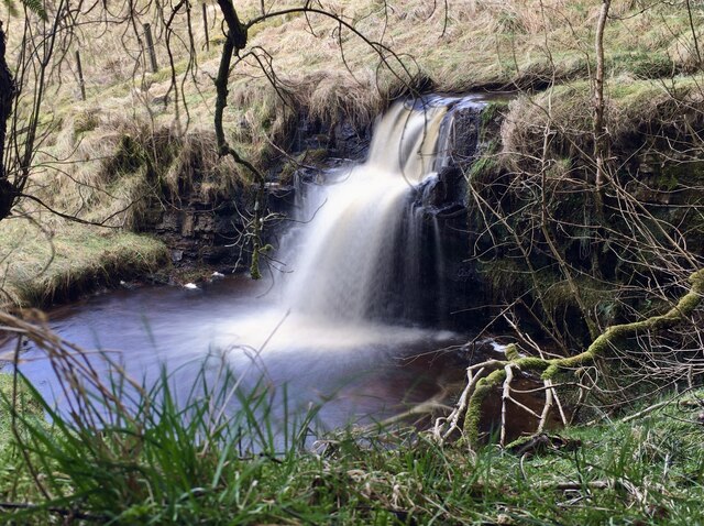
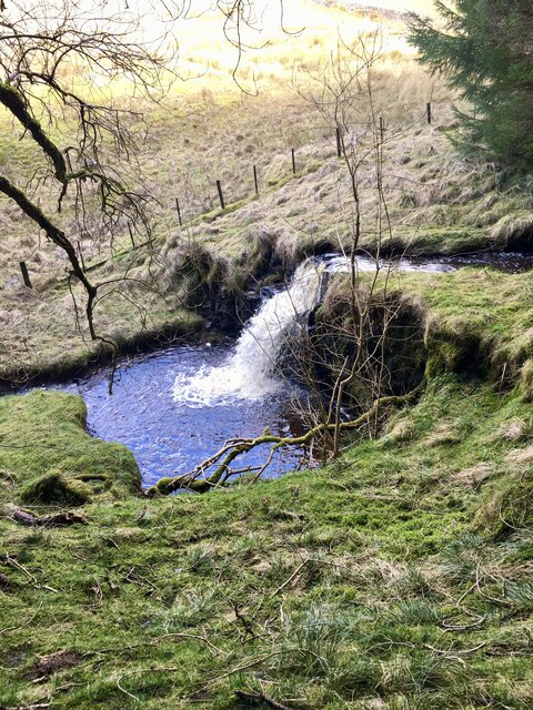
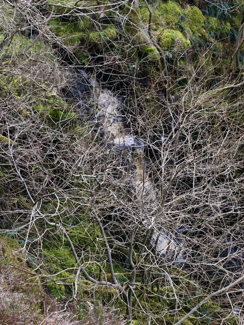
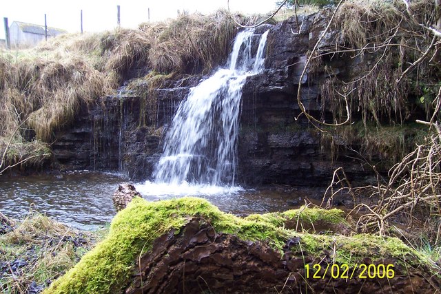
Battle Hill Images

Images are sourced within 2km of 55.217324/-2.0764042 or Grid Reference NY9591. Thanks to Geograph Open Source API. All images are credited.

Leehouse Linn
Leehouse Linn
Leehouse Linn
Leehouse Linn
Leehouse Linn
Leehouse Linn
Smiddy Linn An agreeable waterfall/cascade on Bellion Sike.  Sadly it's overgrown with trees.
Smiddy Linn
An agreeable waterfall/cascade on Bellion Sike. Sadly it's overgrown with trees.
Modest waterfall on the Mill Burn
Curious waterfall on the Mill Burn This waterfall isn't marked on the OS maps but it's quite uniform and comes at the end of a long, sloping section of the stream.
Curious waterfall on the Mill Burn
This waterfall isn't marked on the OS maps but it's quite uniform and comes at the end of a long, sloping section of the stream.
Otterburn barracks
Otterburn barracks
Remains of a pillbox off the A696
Ottercops radar station Originally a part of the Chain Home (WWII) radio/radar defence surveillance network. Two large radio antennas now stand on this distinctive military communication site
Ottercops radar station
Originally a part of the Chain Home (WWII) radio/radar defence surveillance network. Two large radio antennas now stand on this distinctive military communication site
Steng Cross and Winter's Gibbet The highest point on the old drover's road from Elsdon to the East. An eerie place to be as dusk falls. Just along the road was the old smithy where the cattle were shod for their long journey to the market.
Steng Cross and Winter's Gibbet
The highest point on the old drover's road from Elsdon to the East. An eerie place to be as dusk falls. Just along the road was the old smithy where the cattle were shod for their long journey to the market.
Harwood Forest. Steng Moss This was a surprising 'find' in the middle of a plantation forest. A magical place.
Harwood Forest. Steng Moss
This was a surprising 'find' in the middle of a plantation forest. A magical place.
Winter's Gibbet On 29th August 1791, William Winter murdered Margaret Crozier at Raw, about three miles north of Elsdon. Winter, and two accomplices, were caught, tried and hanged at the Westgate, Newcastle. Winter's body was afterwards hung in chains at the Steng Cross, an ancient boundary stone a couple of miles south-east of Elsdon, within sight of his victims home.
Winter's Gibbet
On 29th August 1791, William Winter murdered Margaret Crozier at Raw, about three miles north of Elsdon. Winter, and two accomplices, were caught, tried and hanged at the Westgate, Newcastle. Winter's body was afterwards hung in chains at the Steng Cross, an ancient boundary stone a couple of miles south-east of Elsdon, within sight of his victims home.
Head on Winter's Gibbet
Leehouse Linn waterfall
Whiskershiel Farm
Whiskershiel Farm
Road leading to Eastnook Farm
Heather in bloom - the valley of the Raylees Burn The low heathery hill beyond the valley is Middle Hill <a href="https://www.geograph.org.uk/gridref/NY9490">NY9490</a>. The A68 runs along the near side of the forestry plantation in the distance.
Heather in bloom - the valley of the Raylees Burn
The low heathery hill beyond the valley is Middle Hill NY9490. The A68 runs along the near side of the forestry plantation in the distance.
Show me another place!

Battle Hill is located at Grid Ref: NY9591 (Lat: 55.217324, Lng: -2.0764042)

Unitary Authority: Northumberland

Police Authority: Northumbria

What 3 Words

///mess.relocated.copiers. Near Otterburn, Northumberland

Nearby Locations

Battle Hill

Related Wikis

Elsdon, Northumberland

Elsdon is a village and civil parish in the English county of Northumberland about 10 miles (16 km) to the southwest of Rothbury. The name is derived from...

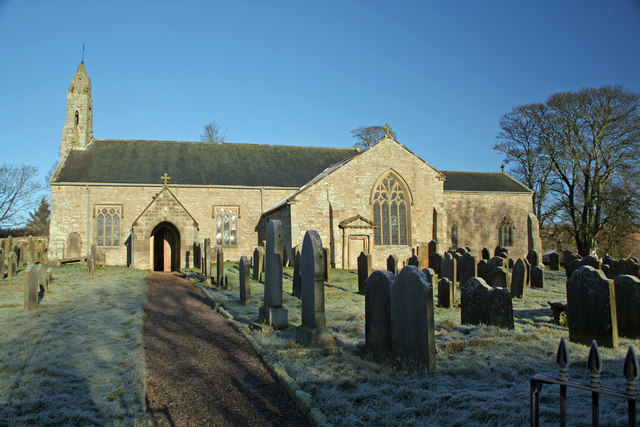
St Cuthbert's Church, Elsdon

St Cuthbert's Church is located in Elsdon, Alnwick, northeast England. The church was one of the resting places of St. Cuthbert's body in the wanderings...

Elsdon Castle

Elsdon Castle is a castle in the village of Elsdon about 10 miles (16 km) to the southwest of Rothbury, in Northumberland, England, and also known as Mote...

Redesdale Studios

Redesdale Studios was a Northumberland recording studio founded in 1996. It was situated in Elsdon in North Northumberland. It began as a partnership between...

Elsdon Tower

Elsdon Tower is a Grade I listed medieval tower house converted for use as a Rectory situated at Elsdon, Northumberland. Originally part of the estate...

Billsmoor Park and Grasslees Wood

Billsmoor Park and Grasslees Wood is the name given to a Site of Special Scientific Interest (SSSI) in Northumberland, North East England, designated in...

Great Northumberland Forest

The Great Northumberland Forest is a proposed new forest in the north of England. Announced in September 2019, it is intended that up to a million trees...

Harwood Forest

Harwood Forest is a 3,527 hectares (8,720 acres) conifer plantation located to the south of Rothbury in North Northumberland, England, and managed by Forestry...

Nearby Amenities

Located within 500m of 55.217324,-2.0764042
Battle Hill
Place: locality
Lat/Long: 55.2169117/-2.0771632
East Hillhead
Place: locality
Lat/Long: 55.2199063/-2.0781304
Pearson's House
Place: locality
Lat/Long: 55.2166343/-2.0793761
The data included in this document is from www.openstreetmap.org. The data is made available under ODbL.

Have you been to Battle Hill?

Leave your review of Battle Hill below (or comments, questions and feedback).