Annis Hill

Hill, Mountain in Lancashire

England

Annis Hill

Elizabethan Way and path alongside
Elizabethan Way and path alongside Credit: Colin Pyle

Annis Hill is a prominent hill located in Lancashire, England. It is situated in the western part of the county, within the Borough of Rossendale. Standing at an elevation of approximately 1,200 feet (366 meters) above sea level, it is one of the highest hills in the area.

The hill is named after the nearby village of Annis Hill, which lies at the base of its southern slope. The village is a small, rural settlement with a close-knit community. It offers picturesque views of the surrounding countryside and provides a peaceful and idyllic setting.

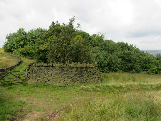
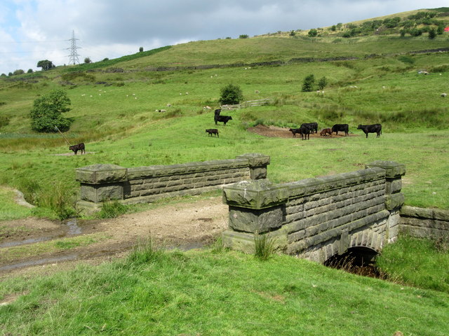
Annis Hill itself is characterized by its verdant slopes covered in lush grasses, heather, and scattered patches of woodland. The hill is a popular destination for hikers and nature enthusiasts, offering several walking trails that lead to its summit. From the top, visitors can enjoy breathtaking panoramic views of the Lancashire countryside, with rolling hills, meandering rivers, and distant towns dotting the landscape.

The area surrounding Annis Hill is rich in wildlife, with various species of birds, mammals, and plant life thriving in its diverse habitats. It is not uncommon to spot birds of prey soaring above, such as kestrels and buzzards.

Overall, Annis Hill embodies the natural beauty and tranquility that Lancashire has to offer. Its picturesque landscape, coupled with its accessibility, makes it a popular spot for outdoor activities and a wonderful place to immerse oneself in the wonders of nature.

If you have any feedback on the listing, please let us know in the comments section below.
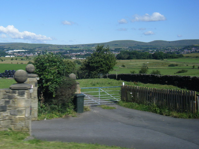
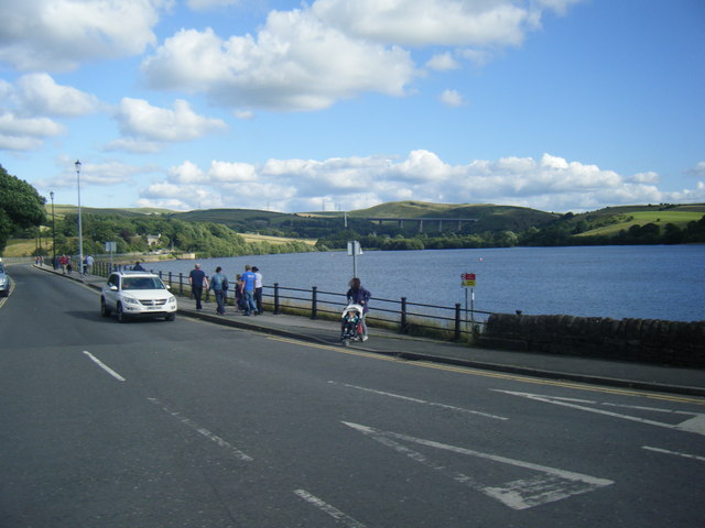
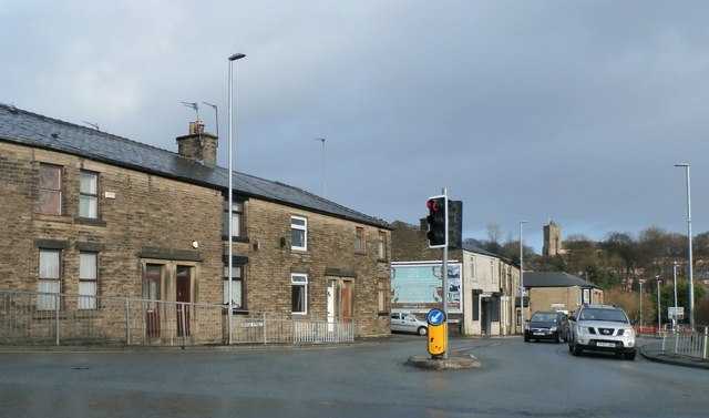
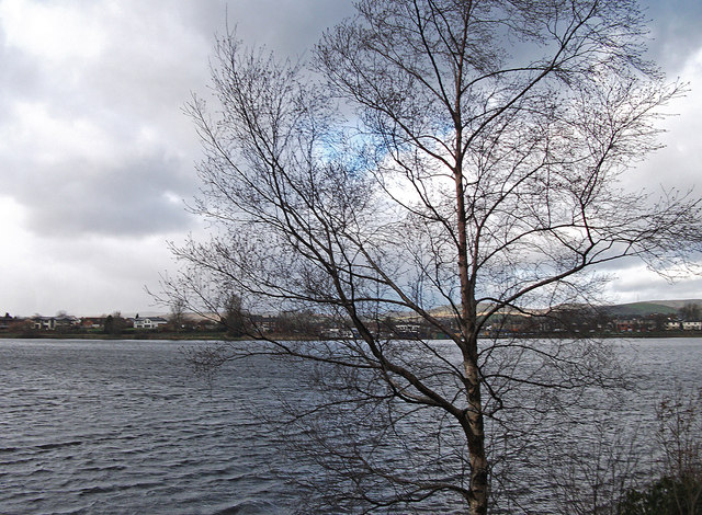
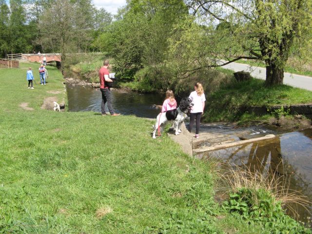
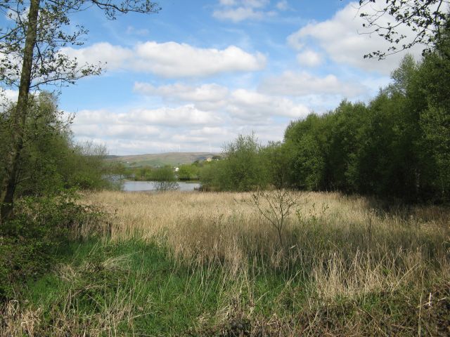
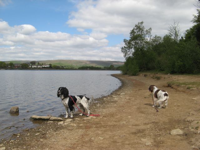
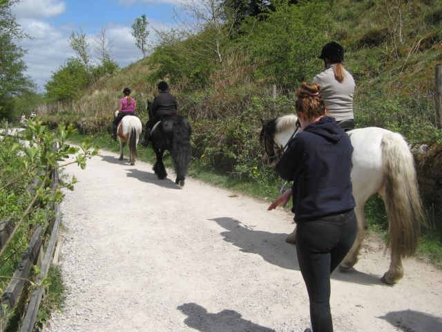
Annis Hill Images

Images are sourced within 2km of 53.62046/-2.0947369 or Grid Reference SD9313. Thanks to Geograph Open Source API. All images are credited.

Elizabethan Way and path alongside
Wildhouse Lane farm entrance
Hollingworth Lake with the elevated M62 beyond
The Crown and Shuttle Public House
Bridge Street - Milnrow
Silver birch at Hollingworth Lake Looking north over the lake from a point near the lakeside café.
Silver birch at Hollingworth Lake
Looking north over the lake from a point near the lakeside café.
Hollingworth Lake
Hollingworth Lake
Longden End Brook The brook passes over a gauging weir as it approaches Hollingworth Lake, a popular place for swimming dogs, it seems, though my assistant Madog is staying dry for a change.
Longden End Brook
The brook passes over a gauging weir as it approaches Hollingworth Lake, a popular place for swimming dogs, it seems, though my assistant Madog is staying dry for a change.
Wetland view An extensive reed bed is part of the nature reserve at the southern, shallow end of the reservoir, near to the influx of the Longden End Brook.
Wetland view
An extensive reed bed is part of the nature reserve at the southern, shallow end of the reservoir, near to the influx of the Longden End Brook.
Beach view A view of the southern margin of the reservoir, which is mostly shallow.
Beach view
A view of the southern margin of the reservoir, which is mostly shallow.
Equine traffic Horses taking the path around the lake.
Equine traffic
Horses taking the path around the lake.
Wall and wood Adjacent to the Pennine Bridleway.
Wall and wood
Adjacent to the Pennine Bridleway.
Bridge over Longden End Brook
Bird in the Hand, Newhey The pub sign has gone but I don't know whether this means it is closed
Bird in the Hand, Newhey
The pub sign has gone but I don't know whether this means it is closed
Ash tree, Hollingworth Lake There are several trees alongside the lakeside that have been cut about a metre above ground, prompting the production of a large number of thin branches.
Ash tree, Hollingworth Lake
There are several trees alongside the lakeside that have been cut about a metre above ground, prompting the production of a large number of thin branches.
Houses alongside Hollingworth Lake These houses have a good view of the lake, and have access from a residential road behind.
Houses alongside Hollingworth Lake
These houses have a good view of the lake, and have access from a residential road behind.
View from the lakeside path, Hollingworth Lake
The lakeside path, Hollingworth Lake
Show me another place!

Annis Hill is located at Grid Ref: SD9313 (Lat: 53.62046, Lng: -2.0947369)

Unitary Authority: Rochdale

Police Authority: Greater Manchester

What 3 Words

///ruler.head.cloak. Near Milnrow, Manchester

Related Wikis

Rakewood Viaduct

The Rakewood Viaduct carries the M62 motorway over Rakewood Valley and Longden End Brook between junctions 21 and 22 at Littleborough, Greater Manchester...

Tunshill

Tunshill is a hamlet at the northeastern edge of Milnrow, within the Metropolitan Borough of Rochdale, in Greater Manchester, England. It lies amongst...
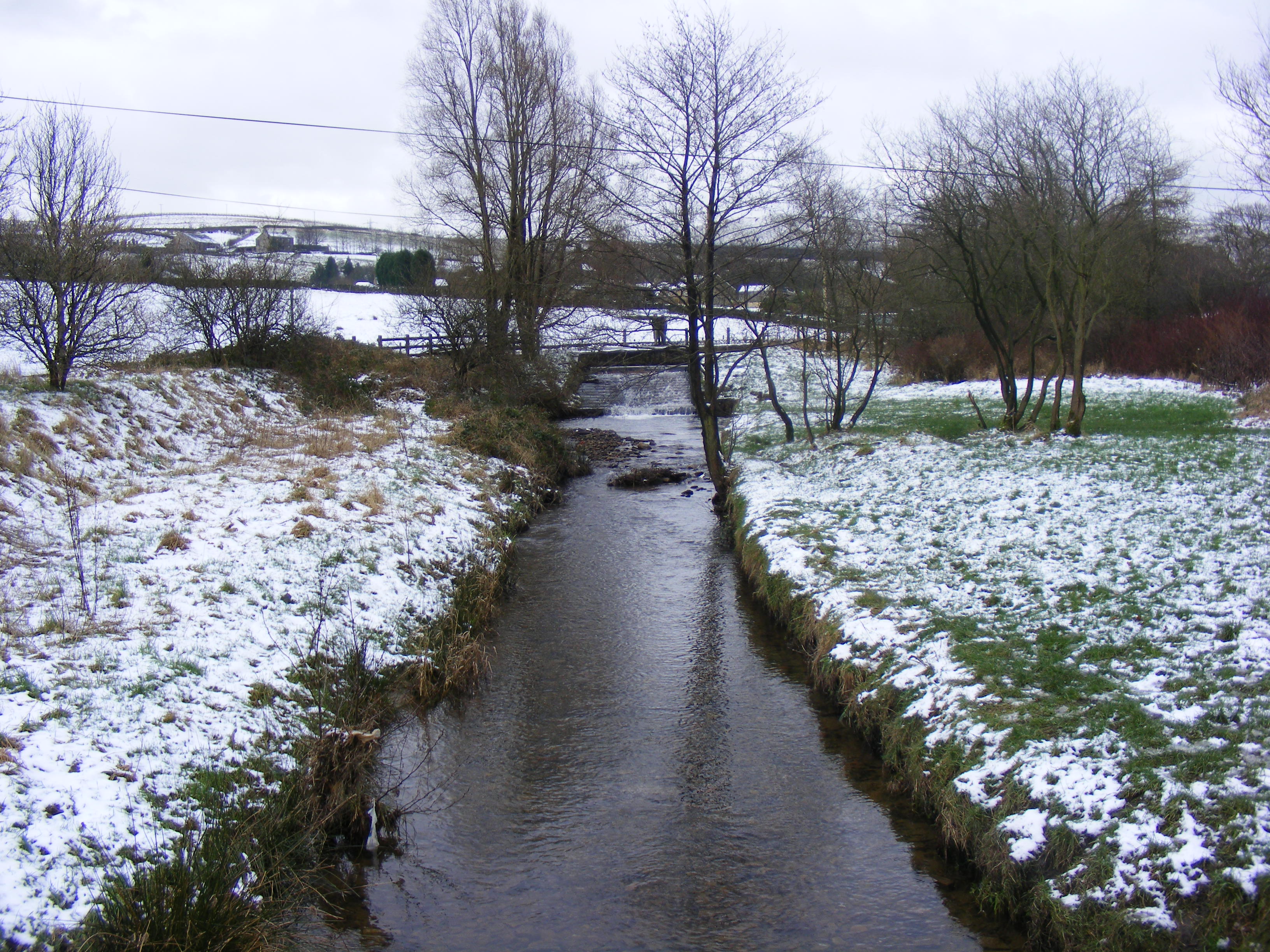
Longden End Brook

Longden End Brook is a watercourse in Greater Manchester. It rises near Windy Hill, and flows down Rakewood Valley and underneath the M62 motorway at Rakewood...
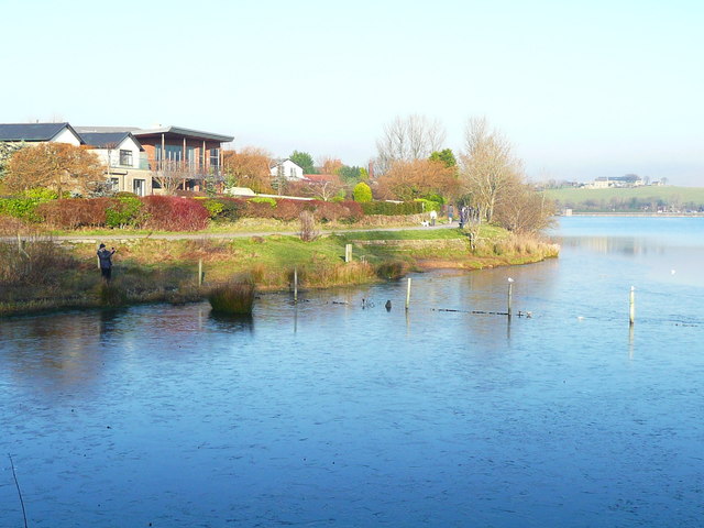
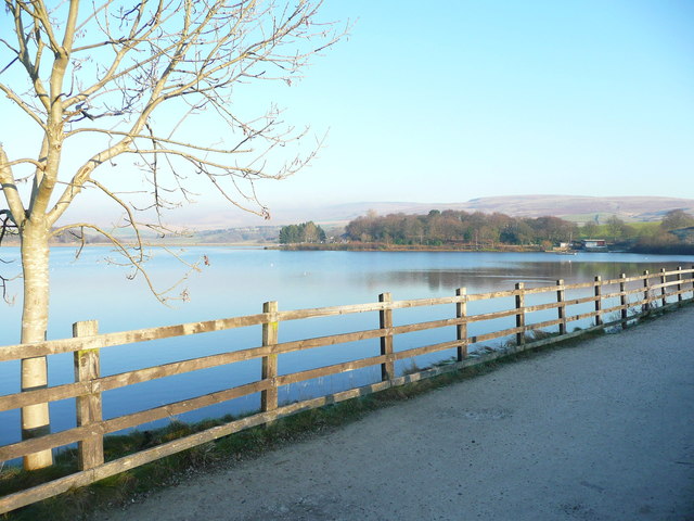
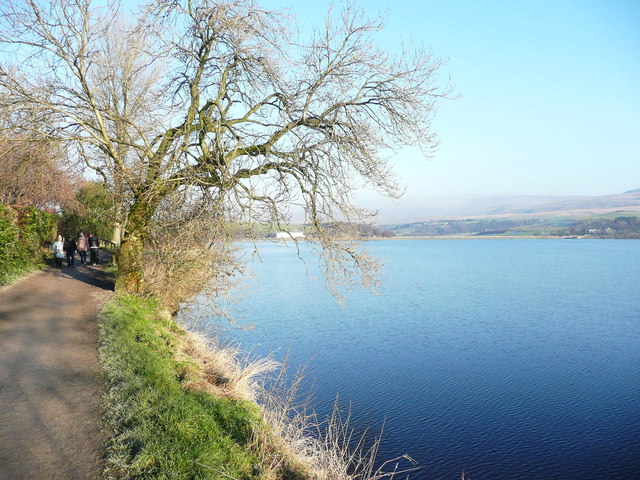
Hollingworth Lake

Hollingworth Lake is a 130-acre (53 ha) reservoir at Smithy Bridge in Littleborough, Greater Manchester, England. It was originally built as the main water...

Nearby Amenities

Located within 500m of 53.62046,-2.0947369
Heights Barn Hill
Ele: 239
Natural: peak
Lat/Long: 53.6193778/-2.0895227
Low House Fold
Ele: 234
Natural: peak
Lat/Long: 53.6205885/-2.0947718
Broad Carr
Building: house
Lat/Long: 53.6174864/-2.0916226
The data included in this document is from www.openstreetmap.org. The data is made available under ODbL.

Have you been to Annis Hill?

Leave your review of Annis Hill below (or comments, questions and feedback).