Crane Hill
Hill, Mountain in Yorkshire
England
Crane Hill
The requested URL returned error: 429 Too Many Requests
If you have any feedback on the listing, please let us know in the comments section below.
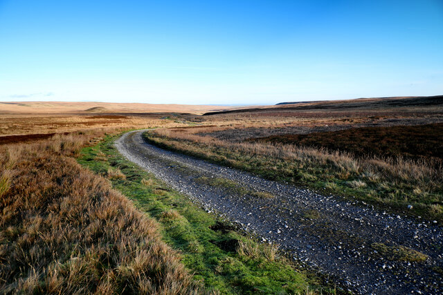
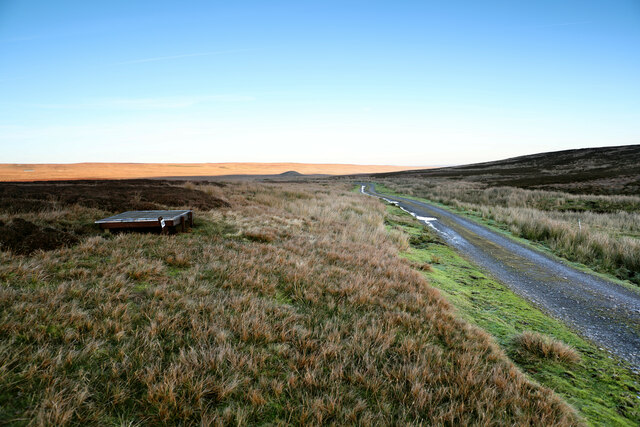
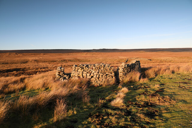
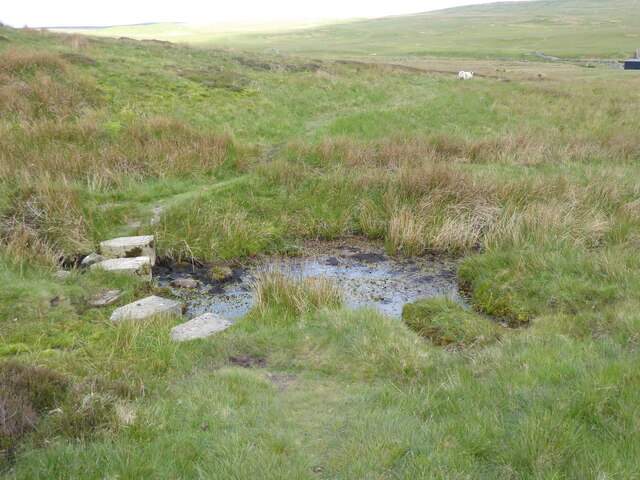
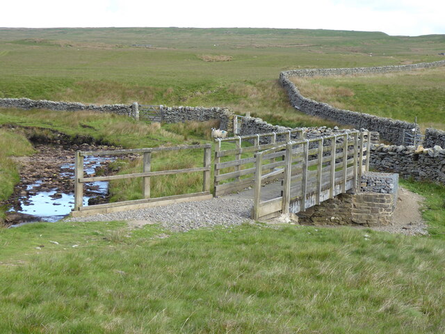
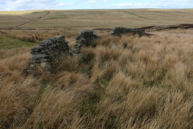
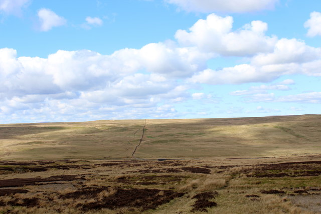
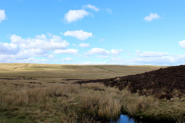
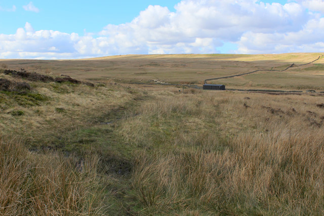
Crane Hill Images
Images are sourced within 2km of 54.515426/-2.1017139 or Grid Reference NY9313. Thanks to Geograph Open Source API. All images are credited.


Crane Hill is located at Grid Ref: NY9313 (Lat: 54.515426, Lng: -2.1017139)
Division: North Riding
Unitary Authority: County Durham
Police Authority: Durham
What 3 Words
///explored.restores.crib. Near Bowes, Co. Durham
Nearby Locations
Related Wikis
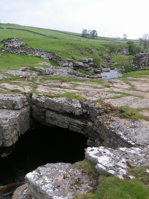
God's Bridge
God's Bridge is a Site of Special Scientific Interest in the County Durham district of south-west County Durham, England. It is a natural limestone bridge...

Bowes Moor
Bowes Moor is a Site of Special Scientific Interest in the County Durham district in south-west County Durham, England. It is an extensive area of moorland...

Rey Cross
Rey Cross is the remains of a stone cross at Stainmore. It is also known as Rere Cross and is a Grade II* listed structure and a scheduled monument. It...

Sleightholme Beck Gorge – The Troughs
Sleightholme Beck Gorge – The Troughs is a Site of Special Scientific Interest in the County Durham district of south-west County Durham, England. The...
Nearby Amenities
Located within 500m of 54.515426,-2.1017139Have you been to Crane Hill?
Leave your review of Crane Hill below (or comments, questions and feedback).