Boulsworth Hill
Hill, Mountain in Lancashire Pendle
England
Boulsworth Hill

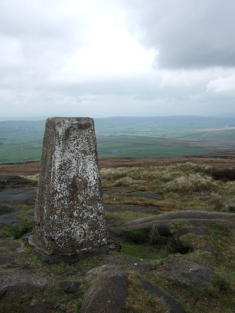
Boulsworth Hill is a prominent hill located in the county of Lancashire, England. Rising to a height of 1,696 feet (517 meters), it is considered a significant landmark in the area and is part of the South Pennines range.
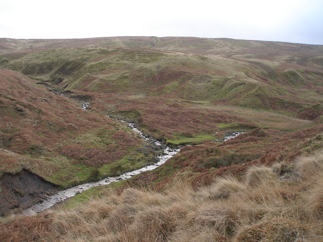
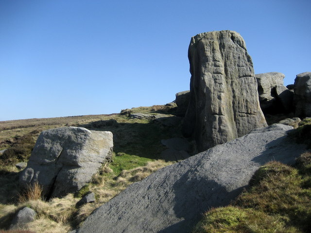
Situated near the village of Wycoller, Boulsworth Hill offers breathtaking panoramic views of the surrounding countryside, including the Forest of Bowland Area of Outstanding Natural Beauty, the Yorkshire Dales, and even the coastline on a clear day. The hill is composed mainly of Millstone Grit, a type of coarse sandstone that gives it a rugged appearance.
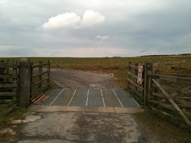
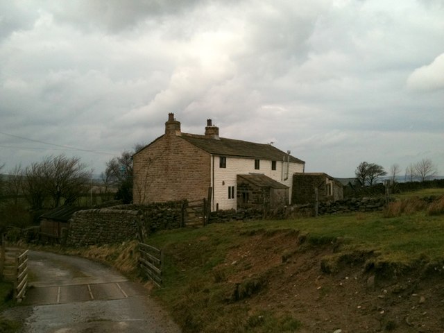
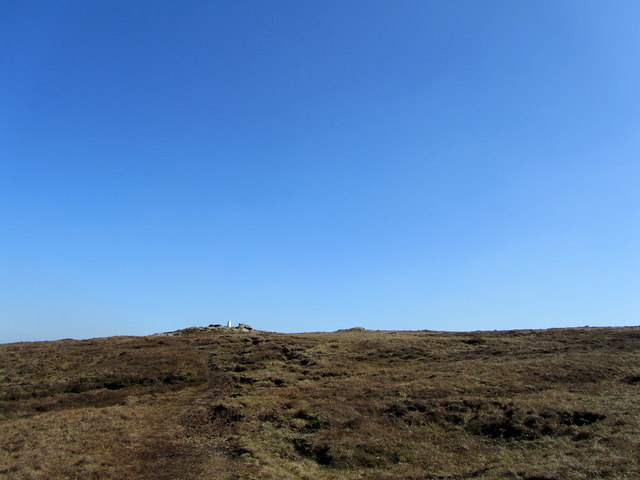
Boulsworth Hill is a popular destination for hikers, walkers, and nature enthusiasts, offering a variety of trails and paths to explore. The most popular route to the summit starts from the village of Trawden, leading through open moorland and past the picturesque reservoirs of Lower and Upper Ogden. The hike is rewarded with stunning vistas and a sense of accomplishment once reaching the summit.
The hill is also known for its historical significance, with the remains of ancient settlements and burial mounds scattered across its slopes. It has been suggested that Boulsworth Hill was once a site of Iron Age occupation, and evidence of mining and quarrying activities from the 19th century can still be seen.
Overall, Boulsworth Hill is a remarkable natural feature in Lancashire, offering visitors the chance to immerse themselves in the beauty of the British countryside while enjoying a challenging outdoor experience.
If you have any feedback on the listing, please let us know in the comments section below.
Boulsworth Hill Images
Images are sourced within 2km of 53.820278/-2.1013097 or Grid Reference SD9336. Thanks to Geograph Open Source API. All images are credited.


Boulsworth Hill is located at Grid Ref: SD9336 (Lat: 53.820278, Lng: -2.1013097)
Administrative County: Lancashire
District: Pendle
Police Authority: Lancashire
What 3 Words
///earlobes.series.decrease. Near Colne, Lancashire
Nearby Locations
Related Wikis

Boulsworth Hill
Boulsworth Hill is a large expanse of moorland, the highest point of the South Pennines of south-eastern Lancashire, England, separating the Borough of...

Trawden Brook
Trawden Brook is a minor river in Lancashire, England. It is 3.48 miles (5.6 km) long and has a catchment area of 4.40 square miles (11.4 km2).Rising on...

Trawden
Trawden is a village in the Trawden Forest parish of Pendle, at the foot of Boulsworth Hill, in Lancashire, England. The village co-operatively owns and...

Wycoller
Wycoller is a village in the civil parish of Trawden Forest in Pendle, Lancashire, England. It is 3 miles (4.8 km) east of Colne, near to the junction...
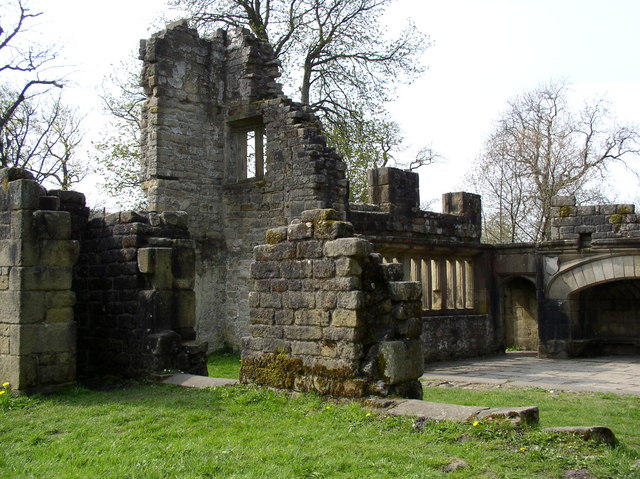
Wycoller Hall
Wycoller Hall was a late sixteenth-century manor house in the village of Wycoller, Lancashire, England. The hall was the centre of a sizeable estate but...

Wycoller Beck
Wycoller Beck is a stream in Lancashire, running through Wycoller Country Park and the village of Wycoller in Pendle. It is 3.76 miles (6.05 km) long and...

Trawden Forest
Trawden Forest is a civil parish in the Pendle district of Lancashire, England. It has a population of 2,765, and contains the village of Trawden (formerly...

Watersheddles Reservoir
Watersheddles Reservoir is an upland artificial lake in Lancashire, England. The reservoir was opened in 1877 by the Keighley Corporation Water Works,...
Have you been to Boulsworth Hill?
Leave your review of Boulsworth Hill below (or comments, questions and feedback).