Brock Hill
Hill, Mountain in Dorset
England
Brock Hill
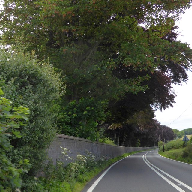
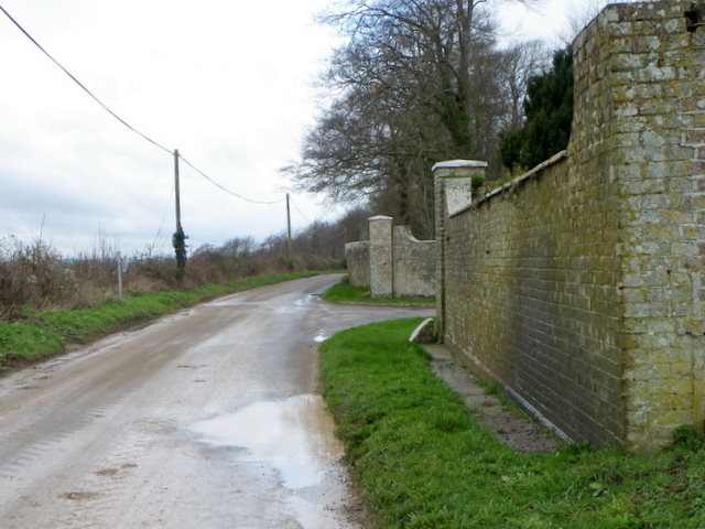
Brock Hill is a prominent hill located in the county of Dorset, England. Situated near the village of Studland, it forms part of the picturesque landscape of the Isle of Purbeck. The hill is known for its distinctive shape and is a popular destination for hikers, nature enthusiasts, and those seeking breathtaking views of the surrounding countryside.
Rising to a height of approximately 199 meters (653 feet) above sea level, Brock Hill offers panoramic vistas of the English Channel, the Isle of Wight, and the rolling hills of Dorset. The summit is adorned with a trig point, a concrete pillar used in surveying, which acts as a landmark for visitors. The hill is characterized by its undulating terrain, with a mixture of heathland, grassy slopes, and scattered woodland.
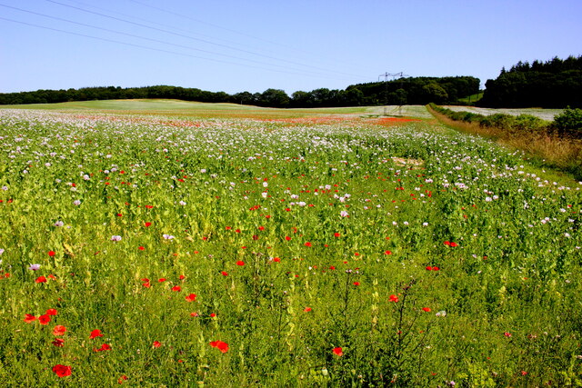
The area surrounding Brock Hill is rich in biodiversity, hosting a variety of plant and animal species. It is particularly renowned for its heathland, which supports rare flora such as heather, gorse, and bilberry. This landscape also provides a habitat for a diverse range of wildlife, including reptiles, birds, and insects.
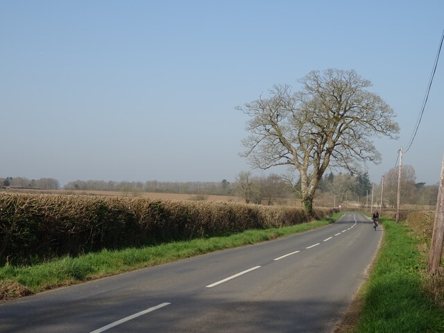
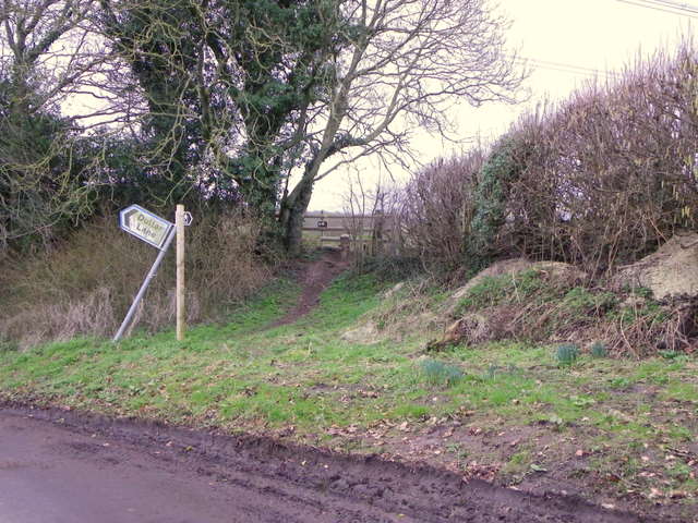
Access to Brock Hill is available via a network of footpaths and trails, allowing visitors to explore the area at their own pace. The hill offers opportunities for leisurely walks, challenging hikes, and even horseback riding. Additionally, the nearby village of Studland offers amenities such as parking, cafés, and visitor information, ensuring a convenient and enjoyable experience for those who wish to explore this natural gem in Dorset.
If you have any feedback on the listing, please let us know in the comments section below.
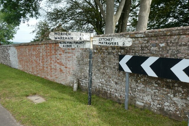
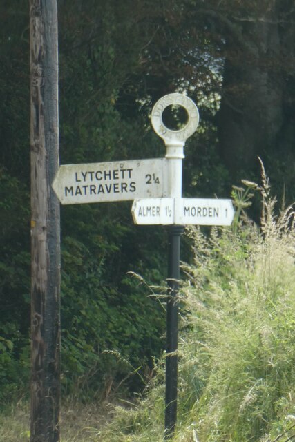
Brock Hill Images
Images are sourced within 2km of 50.772568/-2.0988786 or Grid Reference SY9397. Thanks to Geograph Open Source API. All images are credited.


Brock Hill is located at Grid Ref: SY9397 (Lat: 50.772568, Lng: -2.0988786)
Unitary Authority: Dorset
Police Authority: Dorset
What 3 Words
///packing.cursing.dummy. Near Lytchett Matravers, Dorset
Nearby Locations
Related Wikis

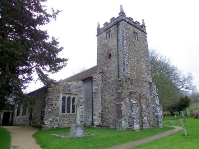
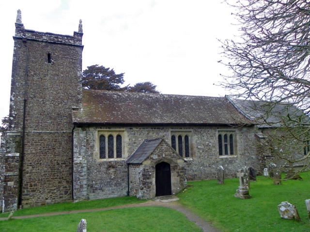
St Mary the Virgin, Lytchett Matravers
St Mary the Virgin is the Church of England parish church of Lytchett Matravers in Dorset. Its parish is part of the Diocese of Salisbury. The building...

Charborough House
Charborough House, also known as Charborough Park, is a Grade I listed building, the manor house of the ancient manor of Charborough. The house is between...

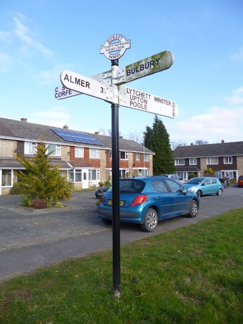
Almer
Almer is a village and former civil parish, now in the parish of Sturminster Marshall, in the Dorset district, in the ceremonial county of Dorset, England...

Lytchett Matravers
Lytchett Matravers is a large village and civil parish in Dorset, England. The 2011 census recorded the parish as having 1,439 households and a population...
Morden, Dorset
Morden (otherwise Moreden) is a civil parish in the Purbeck district of south Dorset, England. Morden is about 6 miles (10 km) north-west of Poole. At...

Barrow Hill, Dorset
Barrow Hill is a small settlement in Dorset, England, situated in the East Dorset administrative district on the A350 road approximately 4 miles (6.4 km...
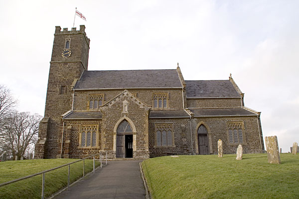
Church of St Mary, Almer, Dorset
Church of Mary is a Grade I listed church in Almer, Dorset, England. It became a listed building on 18 March 1955. According to Arthur Mee's The King...

Bailey Gate railway station
Bailey Gate railway station was on the Somerset & Dorset Joint Railway in the English county of Dorset. == Usage == The station served the United Dairies...
Nearby Amenities
Located within 500m of 50.772568,-2.0988786Have you been to Brock Hill?
Leave your review of Brock Hill below (or comments, questions and feedback).