Black Law

Hill, Mountain in Northumberland

England

Black Law

Storm Arwen damage at Combs Wood Everywhere one goes in mid and north Northumberland one sees the consequences of Storm Arwen's ferocity in swathes of fallen trees.
Storm Arwen damage at Combs Wood Credit: Leanmeanmo

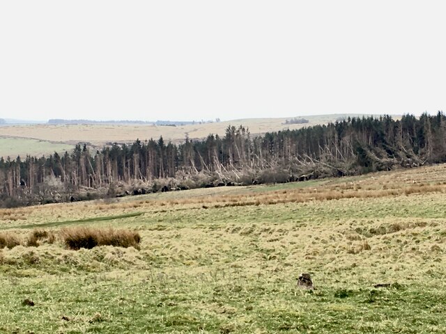
Black Law is a prominent hill located in Northumberland, England. With an elevation of 377 meters (1,237 feet), it stands as the highest point in the Northumberland National Park. Situated about 3 kilometers (2 miles) northeast of the village of Kirkwhelpington, it offers breathtaking views of the surrounding landscape.

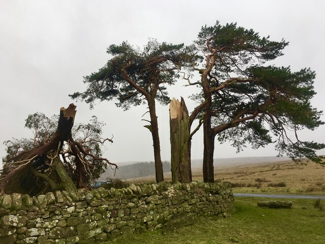
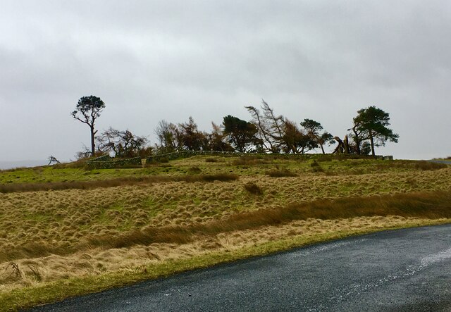
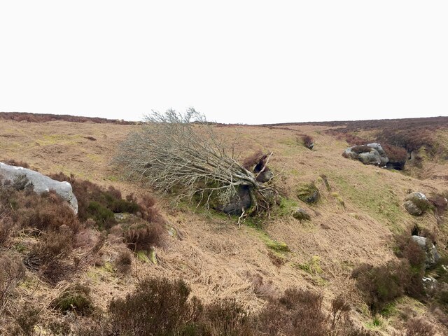
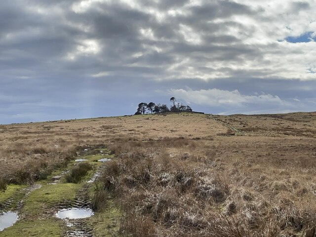
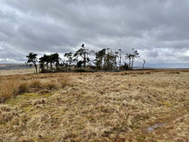
The hill is primarily composed of moorland and is covered in heather, creating a picturesque and unspoiled natural environment. Its distinctive name is derived from the dark color of the peat and soil found throughout the area. Additionally, Black Law is often associated with an ancient burial mound located at its summit, adding a sense of historical intrigue to the site.

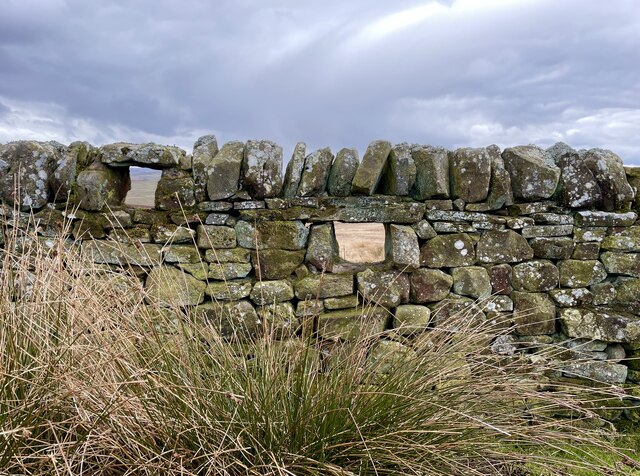
Outdoor enthusiasts and nature lovers are drawn to Black Law for its extensive network of walking trails and hiking routes. The hill is a popular destination for those seeking to explore the Northumberland countryside and experience its rugged beauty. The ascent to the summit can be challenging but rewarding, offering visitors panoramic views of the Northumberland National Park, Cheviot Hills, and even glimpses of the Scottish border on clear days.

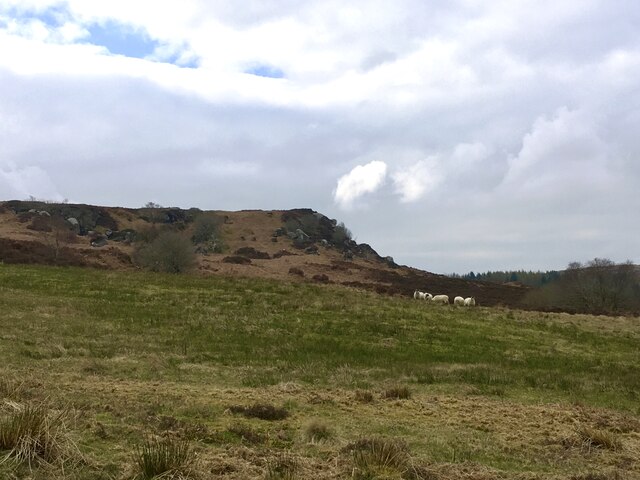
Black Law also provides a habitat for various wildlife species, including birds of prey, such as kestrels and buzzards, as well as grouse and curlews. The area is recognized for its ecological importance and is designated as a Site of Special Scientific Interest (SSSI).

In conclusion, Black Law stands as an impressive and significant hill in Northumberland, offering visitors a chance to immerse themselves in the natural beauty of the region and explore its rich history.

If you have any feedback on the listing, please let us know in the comments section below.
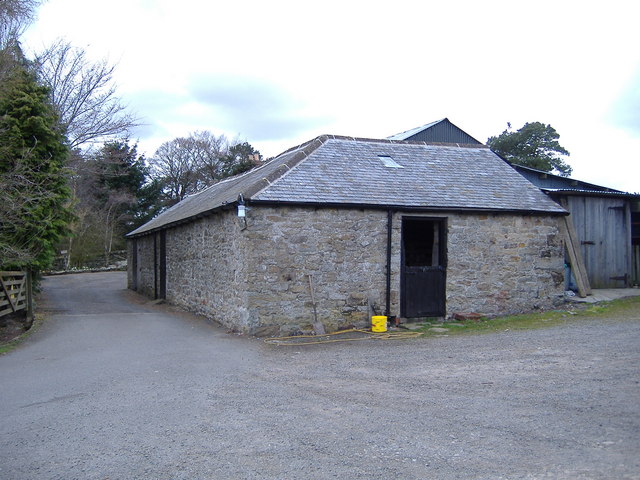
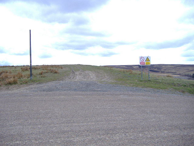
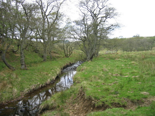
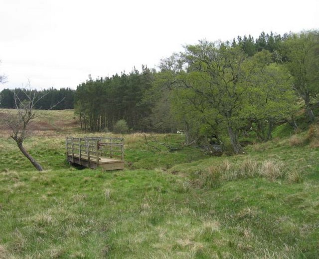
Black Law Images

Images are sourced within 2km of 55.295923/-2.1114854 or Grid Reference NT9300. Thanks to Geograph Open Source API. All images are credited.

Storm Arwen damage at Combs Wood Everywhere one goes in mid and north Northumberland one sees the consequences of Storm Arwen's ferocity in swathes of fallen trees.
Storm Arwen damage at Combs Wood
Everywhere one goes in mid and north Northumberland one sees the consequences of Storm Arwen's ferocity in swathes of fallen trees.
The silvery road to High Shaw The Sun must have been at the optimum angle to reflect the wet road surface.
The silvery road to High Shaw
The Sun must have been at the optimum angle to reflect the wet road surface.
Snapped like a twig This small copse of trees is in an exposed location but Scots Pine are noted for their ability to survive in the north British climate, although they often lose limbs.  To snap a mature specimen like this clean in two tells the tale of the ferocity of Arwen's gusts.
Snapped like a twig
This small copse of trees is in an exposed location but Scots Pine are noted for their ability to survive in the north British climate, although they often lose limbs. To snap a mature specimen like this clean in two tells the tale of the ferocity of Arwen's gusts.
Storm Arwen devastation near North Yardhope This small copse of trees is in an exposed location surrounded by a dry stone wall that has a curious four pointed star shape, possibly built originally for military training purposes.  It's still used for such activities, situated on the very fringe of the Otterburn Ranges.  Storm Arwen must have hit it hard, having a clear run at it from the north.  For comparison see an earlier view from much the same location.
<a href="https://www.geograph.org.uk/photo/3685047">NT9300 : Small plantation south of Pedlar's Stone</a>
Storm Arwen devastation near North Yardhope
This small copse of trees is in an exposed location surrounded by a dry stone wall that has a curious four pointed star shape, possibly built originally for military training purposes. It's still used for such activities, situated on the very fringe of the Otterburn Ranges. Storm Arwen must have hit it hard, having a clear run at it from the north. For comparison see an earlier view from much the same location. NT9300 : Small plantation south of Pedlar's Stone
Crags above South Yardhope On the edge of the Otterburn Ranges training area.
Crags above South Yardhope
On the edge of the Otterburn Ranges training area.
Storm Arwen at Rowantree Cleugh Even the hard-as-nails Rowan tree was no match for the fury of Storm Arwen.
Storm Arwen at Rowantree Cleugh
Even the hard-as-nails Rowan tree was no match for the fury of Storm Arwen.
Small copse of Scots Pine in walled enclosure The enclosure is a curious shape (see 1:25000 OS map)  and  is probably of military origin as it contains firing loops.   Although it's  outside the boundary of the Otterburn Ranges it is still used by troops in training exercises.
Small copse of Scots Pine in walled enclosure
The enclosure is a curious shape (see 1:25000 OS map) and is probably of military origin as it contains firing loops. Although it's outside the boundary of the Otterburn Ranges it is still used by troops in training exercises.
Another Storm Arwen ravaged copse of trees Like its near neighbour this small walled enclosure is probably of military origin since it boasts gun loops.  Although it's well outside the boundary of the Otterburn Ranges, it too is still used by troops in training, evidenced by the odd cartridge case lying around.  See

<a href="https://www.geograph.org.uk/photo/7441540">NT9300 : Small copse of Scots Pine in walled enclosure</a>
Another Storm Arwen ravaged copse of trees
Like its near neighbour this small walled enclosure is probably of military origin since it boasts gun loops. Although it's well outside the boundary of the Otterburn Ranges, it too is still used by troops in training, evidenced by the odd cartridge case lying around. See NT9300 : Small copse of Scots Pine in walled enclosure
Firing loops One of a number of groups of gun loops set into the wall enclosing a small copse of Scots Pine.  See

<a href="https://www.geograph.org.uk/photo/7441544">NT9400 : Another Storm Arwen ravaged copse of trees</a>
Firing loops
One of a number of groups of gun loops set into the wall enclosing a small copse of Scots Pine. See NT9400 : Another Storm Arwen ravaged copse of trees
Craig Farm There are apparently the remains of a Bastle here but they are not obvious.
Craig Farm
There are apparently the remains of a Bastle here but they are not obvious.
No red flag today One of the flag poles from which red flags are flown. There is also a red light on the top so that it can be seen at night. The usual warning sign is on the right. Foreground is MOD road.
No red flag today
One of the flag poles from which red flags are flown. There is also a red light on the top so that it can be seen at night. The usual warning sign is on the right. Foreground is MOD road.
Craig Farm with ruined Bastle. Keys to the Past Web Site: This is a well-preserved defended farmhouse or bastle surrounded by other farm buildings. It is built from roughly squared stones and is two storeys high. The basement has a stone vault and the original entrance was in the west wall.
Craig Farm with ruined Bastle.
Keys to the Past Web Site: This is a well-preserved defended farmhouse or bastle surrounded by other farm buildings. It is built from roughly squared stones and is two storeys high. The basement has a stone vault and the original entrance was in the west wall.
Keenshaw Burn
Keenshaw Burn
Footbridge over Keenshaw Burn
Another ruinous bastle near High Shaw Farm The more westerly of two ruinous bastles near High Shaw farm
Another ruinous bastle near High Shaw Farm
The more westerly of two ruinous bastles near High Shaw farm
View north east from Deer Laws Dues Hill and The Beacon in the distance.
View north east from Deer Laws
Dues Hill and The Beacon in the distance.
Drainage ditch and fence On Deer Laws.
Drainage ditch and fence
On Deer Laws.
Headshope On the very edge of the Otterburn Ranges danger area.
Headshope
On the very edge of the Otterburn Ranges danger area.
Show me another place!

Black Law is located at Grid Ref: NT9300 (Lat: 55.295923, Lng: -2.1114854)

Unitary Authority: Northumberland

Police Authority: Northumbria

What 3 Words

///perch.delight.breakaway. Near Otterburn, Northumberland

Nearby Locations

Black Law Daw's Moss

Related Wikis

High Cove

High Cove is a major slip feature to the west of Grasslees Burn in the Simonside Hills, Northumberland, England. It contains several small rifts and caves...

Holystone, Northumberland

Holystone is a small village and former civil parish, now in the parish of Harbottle, in Northumberland, England. It lies on the edge of (and just within...

Billsmoor Park and Grasslees Wood

Billsmoor Park and Grasslees Wood is the name given to a Site of Special Scientific Interest (SSSI) in Northumberland, North East England, designated in...

Sharperton

Sharperton is a small settlement and former civil parish, now in the parish of Harbottle, in Northumberland, England. Sharperton is the site of a deserted...

Nearby Amenities

Located within 500m of 55.295923,-2.1114854
Passing Place
Lat/Long: 55.2983146/-2.1052734
Passing Place
Lat/Long: 55.297141/-2.1046684
Passing Place
Lat/Long: 55.2997076/-2.1073613
Barrier: cattle_grid
Lat/Long: 55.2985805/-2.1052946
Black Law
Place: locality
Lat/Long: 55.2957492/-2.1104119
Pedlar's Stone
Place: locality
Lat/Long: 55.297498/-2.1062123
The data included in this document is from www.openstreetmap.org. The data is made available under ODbL.

Have you been to Black Law?

Leave your review of Black Law below (or comments, questions and feedback).