Braehead

Hill, Mountain in Aberdeenshire

Scotland

Braehead

Formartine and Buchan  Way The closed railway's trackbed, now a cycle path and a very enjoyable and wild cycle path passes a harvested field of oilseed rape at Arnage.
Formartine and Buchan Way Credit: Richard Webb

Braehead is a prominent hill located in Aberdeenshire, Scotland. Rising to an elevation of approximately 365 meters (1,198 feet), it is categorized as a mountain rather than a hill. Situated in the eastern part of Aberdeenshire, Braehead forms part of the Grampian Mountains, which stretch across the region.

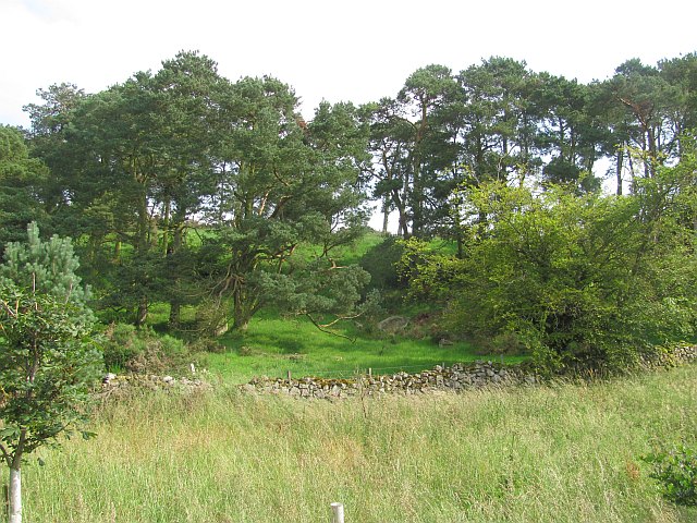
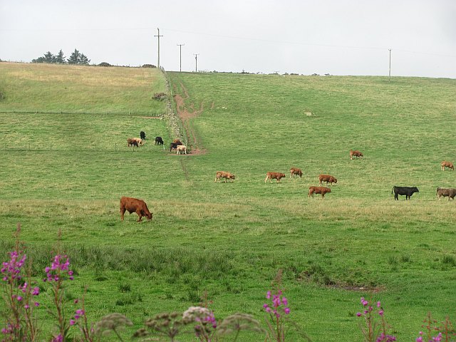
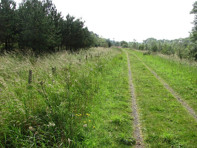
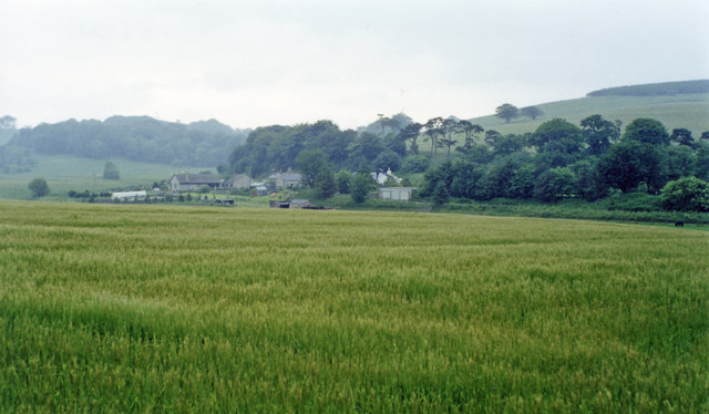
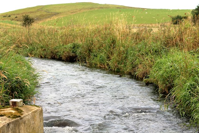
The mountain is characterized by its rugged terrain and distinctive shape, with steep slopes and rocky outcrops. Its summit offers breathtaking panoramic views of the surrounding landscape, including the nearby towns of Inverurie and Kintore, as well as the River Don flowing through the valley below. Braehead is a popular destination for outdoor enthusiasts, offering various opportunities for hiking and mountaineering.

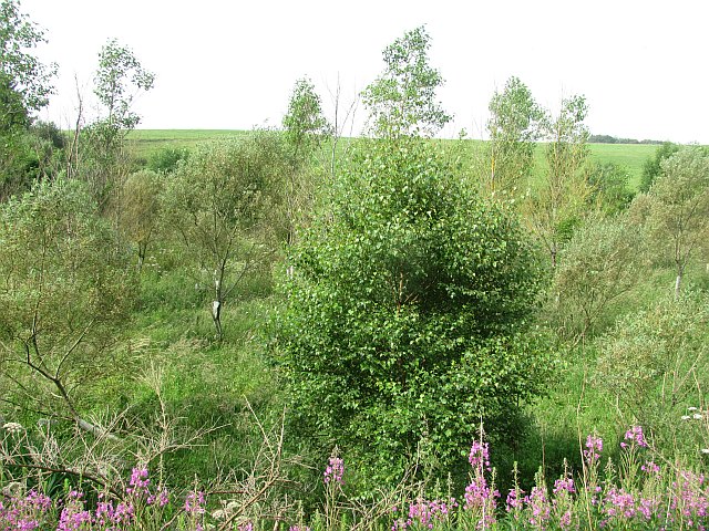
The hill is covered with a diverse range of flora and fauna, with heather and grasses dominating the lower slopes, gradually transitioning to hardy alpine plants as the altitude increases. Birdwatchers also flock to Braehead, as it serves as a habitat for various bird species, including red grouse, golden eagles, and peregrine falcons.

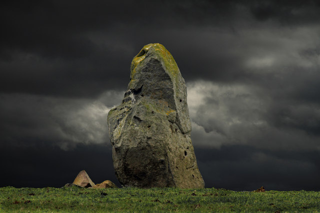
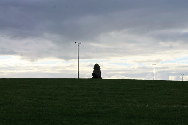
Braehead has a rich historical significance, with archaeological evidence suggesting human activity in the area dating back to prehistoric times. The hill is also associated with several local legends and folklore, adding to its mystical appeal.

Overall, Braehead is a captivating mountain in Aberdeenshire, offering a combination of natural beauty, recreational opportunities, and historical significance. Whether one seeks an adventurous hike or a serene escape into nature, Braehead is a destination that caters to a wide range of interests.

If you have any feedback on the listing, please let us know in the comments section below.
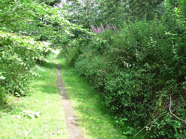
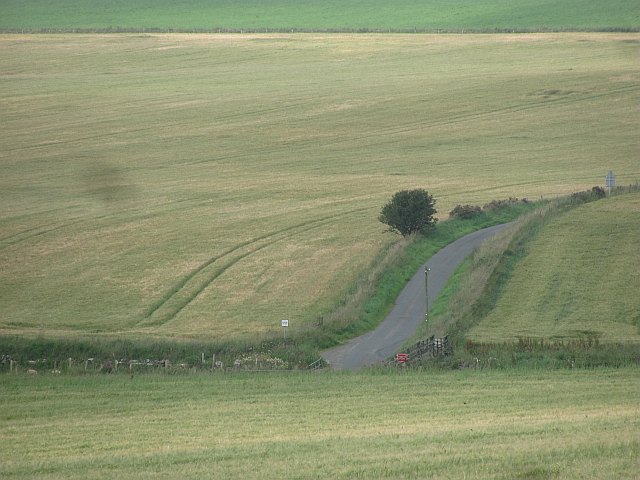
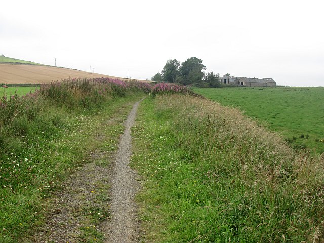
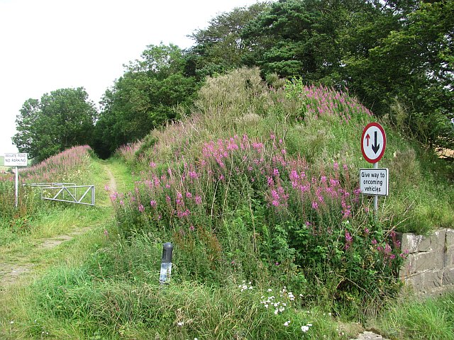
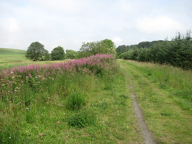
Braehead Images

Images are sourced within 2km of 57.414222/-2.1354695 or Grid Reference NJ9135. Thanks to Geograph Open Source API. All images are credited.

Formartine and Buchan  Way The closed railway's trackbed, now a cycle path and a very enjoyable and wild cycle path passes a harvested field of oilseed rape at Arnage.
Formartine and Buchan Way
The closed railway's trackbed, now a cycle path and a very enjoyable and wild cycle path passes a harvested field of oilseed rape at Arnage.
Arnage Station An overgrown platform on the site of Arnage Station, Formartine and Buchan Railway.
Arnage Station
An overgrown platform on the site of Arnage Station, Formartine and Buchan Railway.
Woodland, Waulkmill Brae View eastwards from the trackbed of the Formartine and Buchan Railway.
Woodland, Waulkmill Brae
View eastwards from the trackbed of the Formartine and Buchan Railway.
Young woodland beside the Ebrie Water A recently planted woodland on damp ground between the old railway and the Ebrie Water.
Young woodland beside the Ebrie Water
A recently planted woodland on damp ground between the old railway and the Ebrie Water.
Drumwhindle: The Candle Stane The Candle Stane, a Neolithic or Bronze Age standing stone some 3.1 metres in height.
Drumwhindle: The Candle Stane
The Candle Stane, a Neolithic or Bronze Age standing stone some 3.1 metres in height.
Barley, Nether Mill A minor road crosses the Ebrie Burn by a ford.
Barley, Nether Mill
A minor road crosses the Ebrie Burn by a ford.
Harvested rape Oilseed rape straw in a field beside the Formartine and Buchan Way.
Harvested rape
Oilseed rape straw in a field beside the Formartine and Buchan Way.
Harvested rape A near empty agricultural landscape which appears to be a product of drainage work.
Harvested rape
A near empty agricultural landscape which appears to be a product of drainage work.
Gallowhill of Ellon The former Formartine and Buchan railway looking towards Gallowhill of Ellon and in the direction of Ellon which was the next station to the south.
Gallowhill of Ellon
The former Formartine and Buchan railway looking towards Gallowhill of Ellon and in the direction of Ellon which was the next station to the south.
Missing bridge Site of a bridge over a minor road just south of Arnage Station on the Formartine and Buchan Railway.
Missing bridge
Site of a bridge over a minor road just south of Arnage Station on the Formartine and Buchan Railway.
Formartine and Buchan Way The old railway just north of Arnage Station.
Formartine and Buchan Way
The old railway just north of Arnage Station.
Cattle, Milton of Drumwhindle
Formartine and Buchan Way The former railway is now an 80km rails to trails route between Fraserburgh, Peterhead and Dyce.
Formartine and Buchan Way
The former railway is now an 80km rails to trails route between Fraserburgh, Peterhead and Dyce.
Site of Arnage station in valley of Ebrie Burn View eastward from the road to Drumwhindle. Nowadays the Buchan Line Walkway follows along here the ex-GNofSR secondary main line from (Aberdeen) - Dyce - Ellon (to right) - Maud (to left) - Peterhead/Fraserburgh up this valley. Arnage station was closed 4/10/65, when the passenger services to Fraserbourgh and Peterhead ceased, although freight continued Maud - Peterhead until 7/9/70 and Dyce - Maud - Fraserburgh until 6/10/79.
Site of Arnage station in valley of Ebrie Burn
View eastward from the road to Drumwhindle. Nowadays the Buchan Line Walkway follows along here the ex-GNofSR secondary main line from (Aberdeen) - Dyce - Ellon (to right) - Maud (to left) - Peterhead/Fraserburgh up this valley. Arnage station was closed 4/10/65, when the passenger services to Fraserbourgh and Peterhead ceased, although freight continued Maud - Peterhead until 7/9/70 and Dyce - Maud - Fraserburgh until 6/10/79.
Nethermill Steading An old mill building now used as part of a farm.
Nethermill Steading
An old mill building now used as part of a farm.
Ebrie Burn The Ebrie as it flows near Nethermill.
Ebrie Burn
The Ebrie as it flows near Nethermill.
Candle Stone A large whinstone standing stone about 10ft high sitting atop a crest.
Candle Stone
A large whinstone standing stone about 10ft high sitting atop a crest.
Minor road near Drumwhindle
Show me another place!

Braehead is located at Grid Ref: NJ9135 (Lat: 57.414222, Lng: -2.1354695)

Unitary Authority: Aberdeenshire

Police Authority: North East

What 3 Words

///repayment.decorate.refers. Near Ellon, Aberdeenshire

Nearby Locations

Braehead

Related Wikis

Arnage railway station

Arnage railway station was a railway station in Arnage, Aberdeenshire. == History == The station was opened on 18 July 1861 by the Formartine and Buchan...

Arnage Castle

Arnage Castle is a country house, incorporating a Z-plan tower house, located around 4 miles (6.4 km) north of Ellon, in Aberdeenshire, north-east Scotland...

Ythanbank

Ythanbank is a village in Aberdeenshire, Scotland. It is situated on the east bank of the River Ythan on the B9005, 4 miles (6.4 km) north-west of the...

Cairnleith Crofts

Cairnleith Crofts is a group of dwellings in Ythanbank, Aberdeenshire, Scotland. == References ==

Nearby Amenities

Located within 500m of 57.414222,-2.1354695
Power: pole
Lat/Long: 57.413469/-2.127929
Power: pole
Lat/Long: 57.4136053/-2.1289975
Power: pole
Lat/Long: 57.4137539/-2.1301308
Power: pole
Lat/Long: 57.4138992/-2.13126
Power: pole
Lat/Long: 57.4140411/-2.1323807
Power: pole
Lat/Long: 57.4141819/-2.1334869
Power: pole
Lat/Long: 57.41421/-2.1345554
Power: pole
Lat/Long: 57.4142449/-2.1355737
Power: pole
Lat/Long: 57.4142753/-2.1368764
Power: pole
Lat/Long: 57.414299/-2.1381269
Power: pole
Lat/Long: 57.4143283/-2.1393376
Power: pole
Lat/Long: 57.413585/-2.1369726
Power: pole
Lat/Long: 57.4128631/-2.1370646
Power: pole
Lat/Long: 57.4121379/-2.1371587
Power: pole
Lat/Long: 57.4114847/-2.1372445
Power: pole
Lat/Long: 57.410819/-2.1373218
Power: pole
Lat/Long: 57.4101039/-2.1374138
Power: pole
Lat/Long: 57.4143654/-2.1405754
Power: pole
Lat/Long: 57.4143857/-2.1418112
Power: pole
Lat/Long: 57.4144105/-2.1430408
Power: pole
Lat/Long: 57.4150828/-2.1432624
Power: pole
Lat/Long: 57.4100706/-2.1325219
Power: pole
Lat/Long: 57.4102914/-2.1337577
Power: pole
Lat/Long: 57.4104975/-2.1349663
Power: pole
Lat/Long: 57.4107126/-2.1361624
Power: pole
Lat/Long: 57.4129211/-2.1397464
Power: pole
Lat/Long: 57.4128941/-2.1389371
Power: pole
Lat/Long: 57.4128806/-2.1380213
The data included in this document is from www.openstreetmap.org. The data is made available under ODbL.

Have you been to Braehead?

Leave your review of Braehead below (or comments, questions and feedback).