Bield Hill

Hill, Mountain in Durham

England

Bield Hill

Bridge over Rookhope Burn The bridge carries the farm access road for Wolf Cleugh, the buildings of which can be seen high on the slope at the left side of the image.
Bridge over Rookhope Burn Credit: Trevor Littlewood

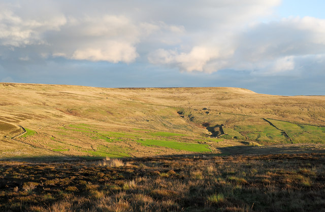
Bield Hill is a prominent hill located in County Durham, England. It forms part of the eastern edge of the Pennines, a range of hills and mountains that stretch across northern England. Rising to a height of 293 meters (961 feet), Bield Hill offers stunning panoramic views of the surrounding countryside and is a popular destination for hikers, walkers, and nature enthusiasts.

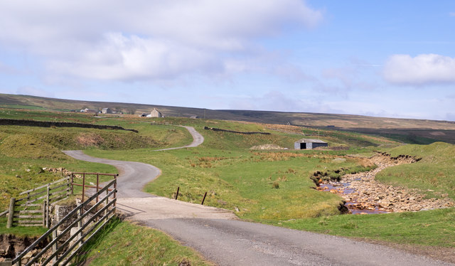
Situated near the village of Lanchester, Bield Hill is easily accessible and attracts visitors from both the local area and beyond. Its distinctive shape and prominent position make it a notable landmark in the region. The hill is covered in grass and heather, providing a diverse habitat for a range of plant and animal species.

At the top of Bield Hill, there is a trig point, which is a concrete pillar used in surveying. This provides a useful reference point for navigation and adds to the hill's appeal for explorers and orienteering enthusiasts.

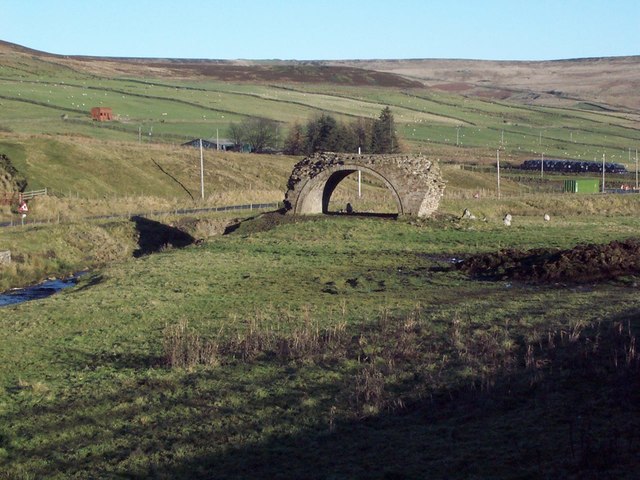
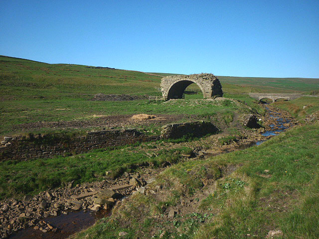
The surrounding area offers a range of walking routes and trails, making Bield Hill an ideal starting point for exploring the nearby countryside. On a clear day, the views from the summit extend for miles, offering glimpses of the nearby towns and villages, as well as the rolling hills and valleys that characterize the landscape of County Durham.

Overall, Bield Hill is a picturesque and accessible hill in Durham, offering stunning views and a chance to connect with nature in a tranquil and beautiful setting.

If you have any feedback on the listing, please let us know in the comments section below.

Bield Hill Images

Images are sourced within 2km of 54.786233/-2.1271959 or Grid Reference NY9143. Thanks to Geograph Open Source API. All images are credited.

Bridge over Rookhope Burn The bridge carries the farm access road for Wolf Cleugh, the buildings of which can be seen high on the slope at the left side of the image.
Bridge over Rookhope Burn
The bridge carries the farm access road for Wolf Cleugh, the buildings of which can be seen high on the slope at the left side of the image.
Farm at Wolf Cleugh The view is over the fields surrounding the farm at Wolf Cleugh on the southern slope of the valley, Rook Hope.
Farm at Wolf Cleugh
The view is over the fields surrounding the farm at Wolf Cleugh on the southern slope of the valley, Rook Hope.
Ground on south side of Dry Rigg - 1 A strikingly extensive area of exposed peat close to the summit of the moorland hill, Dry Rigg.
Ground on south side of Dry Rigg - 1
A strikingly extensive area of exposed peat close to the summit of the moorland hill, Dry Rigg.
Valley of Stogel Cleugh Stogel Cleugh is a feeding stream to Rookhope Burn, itself a tributary valley of the River Wear. The image was recorded from the minor road crossing between Rook Hope in County Durham and Hunstanworth in Northumberland.
Valley of Stogel Cleugh
Stogel Cleugh is a feeding stream to Rookhope Burn, itself a tributary valley of the River Wear. The image was recorded from the minor road crossing between Rook Hope in County Durham and Hunstanworth in Northumberland.
Lintzgarth Arch
Lintzgarth Arch
Road descending down to the Rookhope valley at Redburn
Road in Rookhope Valley
Wolf Cleugh (2) See <a href="https://www.geograph.org.uk/photo/1230639">NY9043 : Wolf Cleugh</a>.
Wolf Cleugh (2)
Wolf Cleugh and Rookhope Burn See <a href="https://www.geograph.org.uk/photo/1230639">NY9043 : Wolf Cleugh</a>.
Wolf Cleugh and Rookhope Burn
Wolf Cleugh and Rookhope Burn (2) See <a href="https://www.geograph.org.uk/photo/1230639">NY9043 : Wolf Cleugh</a>.
Wolf Cleugh and Rookhope Burn (2)
Wolf Cleugh (3) See <a href="https://www.geograph.org.uk/photo/1230639">NY9043 : Wolf Cleugh</a>.
Wolf Cleugh (3)
Wolf Cleugh (4) See <a href="https://www.geograph.org.uk/photo/1230639">NY9043 : Wolf Cleugh</a>.
Wolf Cleugh (4)
Wolf Cleugh (5) See <a href="https://www.geograph.org.uk/photo/1230639">NY9043 : Wolf Cleugh</a>.
Wolf Cleugh (5)
Wolf Cleugh (6) See <a href="https://www.geograph.org.uk/photo/1230639">NY9043 : Wolf Cleugh</a>.
Wolf Cleugh (6)
Wolf Cleugh and the upper Rookhope valley See <a href="https://www.geograph.org.uk/photo/1230639">NY9043 : Wolf Cleugh</a>.
Wolf Cleugh and the upper Rookhope valley
Rookhope Arch Not built by the Romans, this is the last surviving arch of six that were built by lead miners to carry a flue from smelting hearths nearby.
Rookhope Arch
Not built by the Romans, this is the last surviving arch of six that were built by lead miners to carry a flue from smelting hearths nearby.
Moorland lit by low-angled sunshine The foreground moorland looks almost to have been burnt - much heather moorland is as part of management for grouse shooting - but this hasn't, the appearance is down to the low angled autumnal sunshine.
The flat-topped moorland hill at the centre of the image is Long Law; the oblique line crossing it is the Boltslaw Incline.
Moorland lit by low-angled sunshine
The foreground moorland looks almost to have been burnt - much heather moorland is as part of management for grouse shooting - but this hasn't, the appearance is down to the low angled autumnal sunshine. The flat-topped moorland hill at the centre of the image is Long Law; the oblique line crossing it is the Boltslaw Incline.
Show me another place!

Bield Hill is located at Grid Ref: NY9143 (Lat: 54.786233, Lng: -2.1271959)

Unitary Authority: County Durham

Police Authority: Durham

What 3 Words

///ourselves.investor.swift. Near Stanhope, Co. Durham

Nearby Locations

Bield Hill Hawk Hill

Related Wikis

Lintzgarth

Lintzgarth is a village in the civil parish of Stanhope, in County Durham, England. It is situated to the west of Rookhope. The Lintzgarth smeltmill was...

Rookhope

Rookhope is a village in the civil parish of Stanhope, in County Durham, England. A former lead and fluorspar mining community, it first existed as a group...

West Rigg Open Cutting

West Rigg Open Cutting is a Site of Special Scientific Interest in the Wear Valley district of west County Durham, England. It is a disused ironstone...

Slit Woods

Slitt Woods is a Site of Special Scientific Interest in the Wear Valley district of County Durham, England. It occupies the valley of Middlehope Burn,...

Nearby Amenities

Located within 500m of 54.786233,-2.1271959
Power: pole
Lat/Long: 54.7821523/-2.1303928
Power: pole
Lat/Long: 54.7822606/-2.1290678
Power: pole
Lat/Long: 54.7823751/-2.1277025
Power: pole
Lat/Long: 54.7824903/-2.1263655
Power: pole
Lat/Long: 54.7825901/-2.1250203
Power: pole
Lat/Long: 54.7827084/-2.1236779
Power: pole
Lat/Long: 54.7828275/-2.1223287
The data included in this document is from www.openstreetmap.org. The data is made available under ODbL.

Have you been to Bield Hill?

Leave your review of Bield Hill below (or comments, questions and feedback).