Black Hill
Hill, Mountain in Yorkshire Richmondshire
England
Black Hill
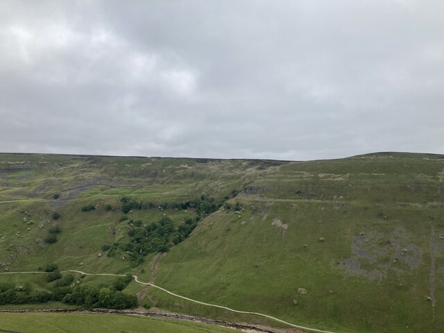
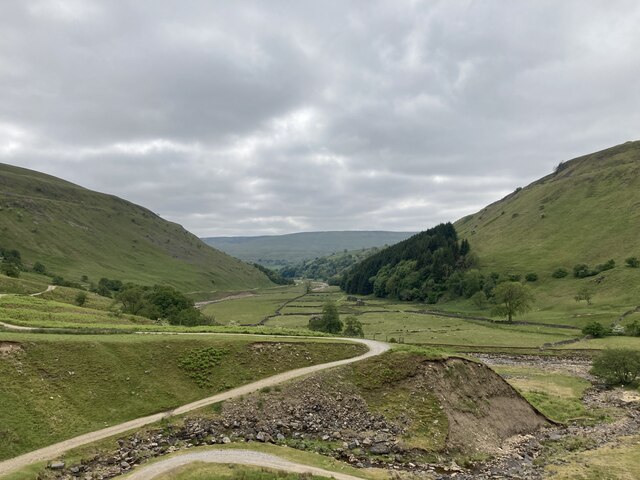
Black Hill is a prominent hill located in the South Pennines, specifically in the county of Yorkshire, England. With an elevation of 582 meters (1,909 feet), it is considered one of the highest peaks in the region. The hill is situated within the stunning Peak District National Park, offering visitors breathtaking panoramic views of the surrounding landscape.
Covered in a mix of heather, grasses, and peat moorland, Black Hill boasts a unique and diverse ecosystem. The moorland is home to a variety of bird species, including the merlin, golden plover, and curlew, making it a popular destination for birdwatchers. Additionally, the hill is traversed by several walking trails, providing outdoor enthusiasts with ample opportunities to explore and enjoy the beautiful countryside.
Being part of the Dark Peak, Black Hill can be challenging to summit due to its steep gradients and unpredictable weather conditions. However, the stunning vistas and sense of accomplishment upon reaching the top make it a highly rewarding experience for hikers and climbers.
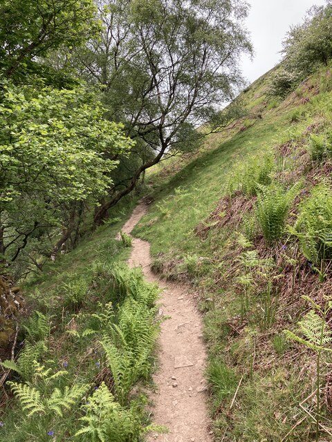
Access to Black Hill is facilitated by a network of footpaths and bridleways, ensuring visitors can explore its natural wonders. The surrounding area also offers facilities such as car parks and visitor centers, providing essential amenities and information for those planning to visit.
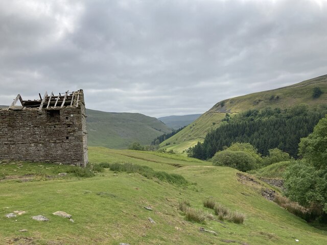
Overall, Black Hill in Yorkshire is a picturesque and rugged natural landmark, offering visitors a chance to immerse themselves in the stunning beauty of the South Pennines and the Peak District National Park.
If you have any feedback on the listing, please let us know in the comments section below.
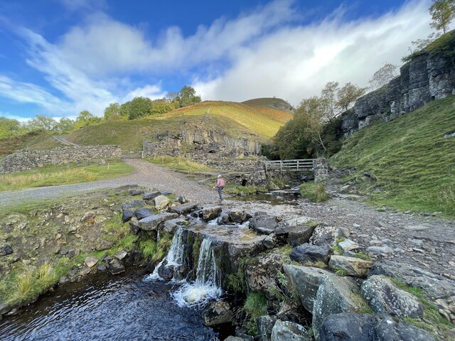
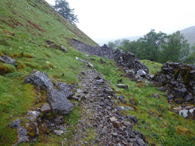
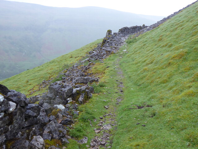
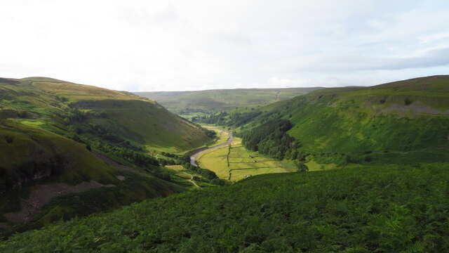
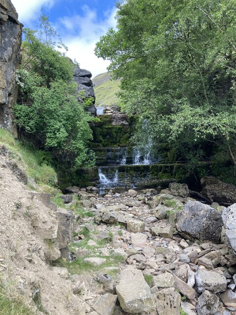
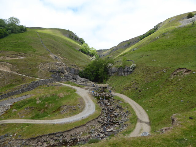
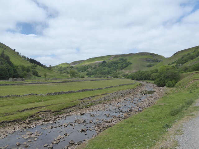
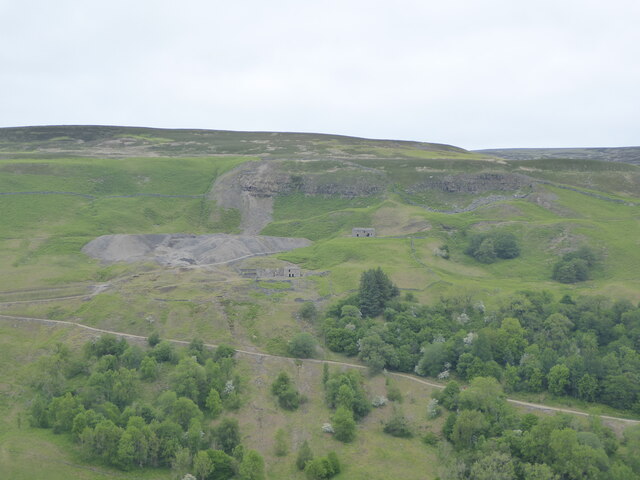
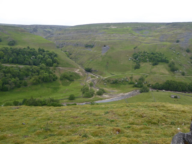
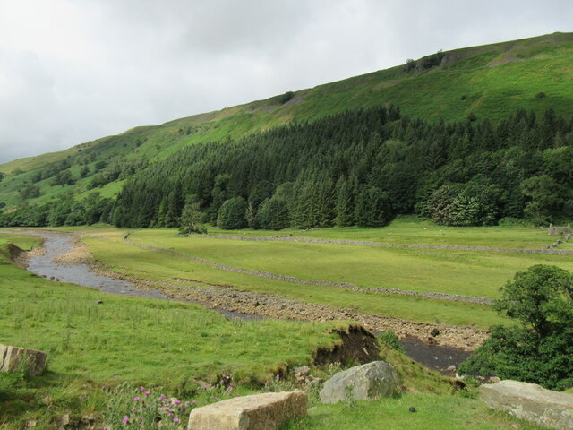
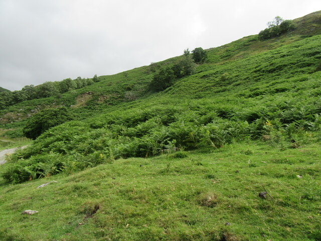
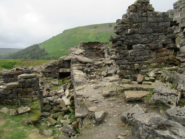
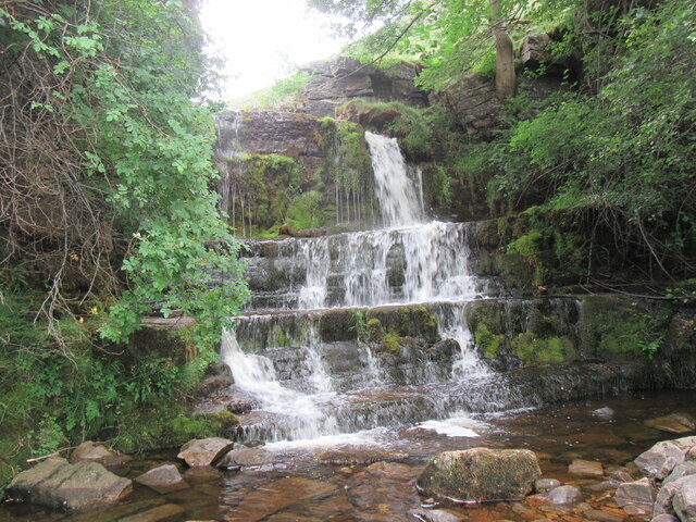
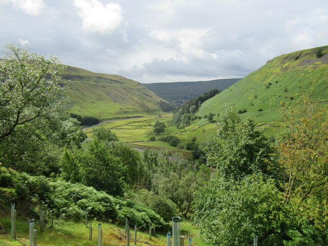
Black Hill Images
Images are sourced within 2km of 54.391619/-2.1316525 or Grid Reference SD9199. Thanks to Geograph Open Source API. All images are credited.
Black Hill is located at Grid Ref: SD9199 (Lat: 54.391619, Lng: -2.1316525)
Division: North Riding
Administrative County: North Yorkshire
District: Richmondshire
Police Authority: North Yorkshire
What 3 Words
///models.natively.gathering. Near Bowes, Co. Durham
Nearby Locations
Related Wikis

Arn Gill (North Yorkshire)
Arn Gill is a ravine or gully containing a beck of the same name, near the village of Muker in Swaledale, North Yorkshire, England. The ravine and beck...

Kisdon
Kisdon, also called Kisdon Hill, is a fell situated in upper Swaledale in the Yorkshire Dales National Park in North Yorkshire, England. == Geography... ==

Muker
Muker is a village and civil parish at the western end of Swaledale in North Yorkshire, England, within the Yorkshire Dales. The parish includes the hamlets...

Kisdon Force
Kisdon Force is a series of waterfalls on the River Swale in Swaledale, England. The falls are situated within the Yorkshire Dales National Park in the...
Nearby Amenities
Located within 500m of 54.391619,-2.1316525Have you been to Black Hill?
Leave your review of Black Hill below (or comments, questions and feedback).