Scales Hill

Hill, Mountain in Yorkshire Craven

England

Scales Hill

Gate on the Towpath There are gates along the towpath every so often. The reason isn't always obvious, they are just there.
Gate on the Towpath Credit: Des Blenkinsopp

Scales Hill is a prominent hill/mountain located in the county of Yorkshire, England. Situated in the picturesque North York Moors National Park, it forms part of the vast moorland landscape that stretches across the region. Rising to an elevation of approximately 454 meters (1,490 feet), it offers breathtaking panoramic views of the surrounding countryside.

The hill is characterized by its rugged terrain, covered in heather and grasses, which provides a habitat for a variety of wildlife, including birds, rabbits, and small mammals. Scales Hill is a popular destination for hikers and nature enthusiasts, who can explore the area through a network of well-marked trails. The ascent to the summit can be challenging, but the rewarding views make it a worthwhile endeavor.

At the top of Scales Hill, visitors are treated to sweeping vistas of the surrounding moors, with their rolling hills and deep valleys. On clear days, it is possible to see as far as the North Sea coast and the distant Yorkshire Dales. The hill is also known for its historical significance, with remnants of ancient settlements and burial mounds scattered throughout the area, providing a glimpse into the region's rich past.

Scales Hill offers a peaceful and serene escape from the hustle and bustle of everyday life, giving visitors the chance to immerse themselves in nature and enjoy the tranquility of the moors. Whether it's a leisurely stroll or a challenging hike, a visit to Scales Hill promises an unforgettable experience in the heart of Yorkshire's stunning countryside.

If you have any feedback on the listing, please let us know in the comments section below.
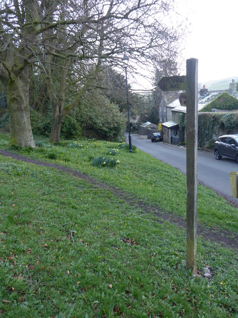
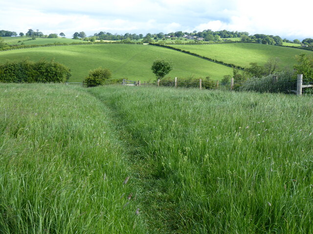
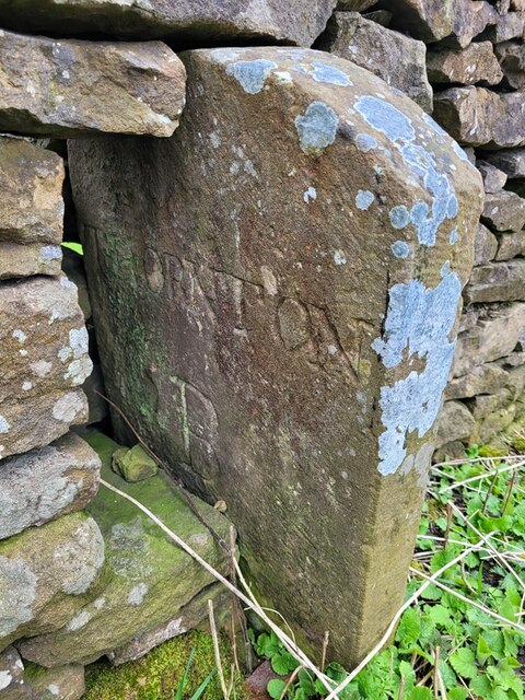
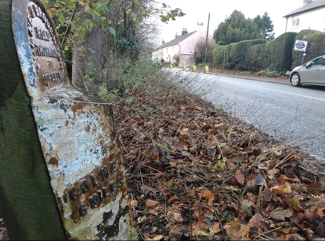
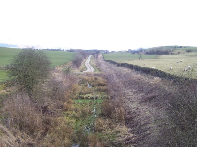
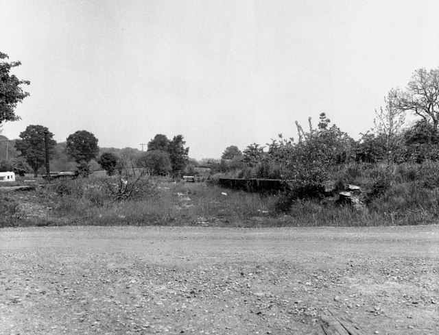
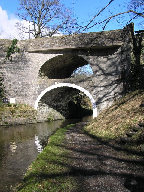
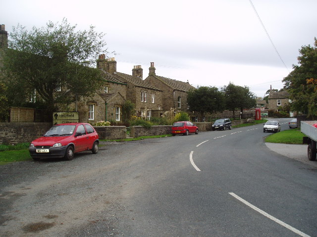
Scales Hill Images

Images are sourced within 2km of 53.941612/-2.1306705 or Grid Reference SD9149. Thanks to Geograph Open Source API. All images are credited.

Gate on the Towpath There are gates along the towpath every so often. The reason isn't always obvious, they are just there.
Gate on the Towpath
There are gates along the towpath every so often. The reason isn't always obvious, they are just there.
South Field Bridge Taking a minor road over the Leeds & Liverpool Canal.
South Field Bridge
Taking a minor road over the Leeds & Liverpool Canal.
Two Gates in a Wall This structure is shown on the large scale map, but without any detail. I don't know what it was for.
Two Gates in a Wall
This structure is shown on the large scale map, but without any detail. I don't know what it was for.
Monitoring Site on the Canal Bank With a sensor in the water and an instrument cabinet by the wall I'm guessing this is a water level recording station.
Monitoring Site on the Canal Bank
With a sensor in the water and an instrument cabinet by the wall I'm guessing this is a water level recording station.
Thornton in Craven, St Mary's church This bolt and benchmark is on the west facing wall of the church tower, and stands about 2 foot from ground level.
Thornton in Craven, St Mary's church
This bolt and benchmark is on the west facing wall of the church tower, and stands about 2 foot from ground level.
Thornton in Craven, St Mary's church A wider angle of the St Mary's church and the octagonal Holy Well in the grounds of the church. There is a bolt and benchmark cut into the west facing wall of the church tower, about 2 foot above ground level.
Thornton in Craven, St Mary's church
A wider angle of the St Mary's church and the octagonal Holy Well in the grounds of the church. There is a bolt and benchmark cut into the west facing wall of the church tower, about 2 foot above ground level.
The Pennine Way at Thornton in Craven
The Pennine Way near Wood House
The Pennine Way near Park Hill
Farmland at Thornton-in-Craven
The Pennine Way near Old Cote
The Pennine Way near Town Hill
Old Boundary Marker on Elslack Lane Parish Boundary Marker set in a dry stone wall on the east side of Elslack Lane, 40 metres south of Elslack Bridge. Inscribed THORNTON / B and ELSLACK / B on opposite faces. On the former boundary of Elslack and Thornton in Craven parishes, but now entirely in Elslack parish. Grade II Listed details <span class="nowrap"><a title="https://historicengland.org.uk/listing/the-list/list-entry/1316762" rel="nofollow ugc noopener" href="https://historicengland.org.uk/listing/the-list/list-entry/1316762">Link</a><img style="margin-left:2px;" alt="External link" title="External link - shift click to open in new window" src="https://s1.geograph.org.uk/img/external.png" width="10" height="10"/></span>.

Milestone Society National ID: YW_THCELS01pb
Old Boundary Marker on Elslack Lane
Parish Boundary Marker set in a dry stone wall on the east side of Elslack Lane, 40 metres south of Elslack Bridge. Inscribed THORNTON / B and ELSLACK / B on opposite faces. On the former boundary of Elslack and Thornton in Craven parishes, but now entirely in Elslack parish. Grade II Listed details LinkExternal link. Milestone Society National ID: YW_THCELS01pb
Marker Stone by the Wall What looks like a distance marker along the towpath beside the canal.
Marker Stone by the Wall
What looks like a distance marker along the towpath beside the canal.
Old Milestone by the A56, Colne and Broughton Road, Thornton-in-Craven Metal plate attached to stone post by the A56, in parish of Thornton-in-Craven (Craven District), opposite terrace of three houses in Thornton, by Cam Lane, on narrow verge under tall trees, on South side of road. WR iron casting, erected by the County Council in the 19th century. 

Inscription reads:-
: COLNE / 6 MILES : : COLNE & BROUGHTON / ROAD / THORNTON / IN / CRAVEN : : SKIPTON / 6 MILES : 
Hole in top.

Grade II listed. 
List Entry Number: 1316777 <span class="nowrap"><a title="https://historicengland.org.uk/listing/the-list/list-entry/1316777" rel="nofollow ugc noopener" href="https://historicengland.org.uk/listing/the-list/list-entry/1316777">Link</a><img style="margin-left:2px;" alt="External link" title="External link - shift click to open in new window" src="https://s1.geograph.org.uk/img/external.png" width="10" height="10"/></span>

Milestone Society National ID: YN_SKCO06.
Old Milestone by the A56, Colne and Broughton Road, Thornton-in-Craven
Metal plate attached to stone post by the A56, in parish of Thornton-in-Craven (Craven District), opposite terrace of three houses in Thornton, by Cam Lane, on narrow verge under tall trees, on South side of road. WR iron casting, erected by the County Council in the 19th century. Inscription reads:- : COLNE / 6 MILES : : COLNE & BROUGHTON / ROAD / THORNTON / IN / CRAVEN : : SKIPTON / 6 MILES : Hole in top. Grade II listed. List Entry Number: 1316777 LinkExternal link Milestone Society National ID: YN_SKCO06.
Old Milestone by the A56, Colne and Broughton Road Metal plate attached to stone post by the A56, in parish of Thornton-in-Craven (Craven District), a mile North of Thornton, South of Gubbs Hill, on the verge on long straight, on North side of road. WR iron casting, erected by the County Council in the 19th century.

Inscription reads:-
: SKIPTON / 5 MILES : : COLNE & BROUGHTON / ROAD / THORNTON / IN / CRAVEN : : COLNE / 7 MILES :
Hole in top.

Grade II listed.
List Entry Number: 1132255 <span class="nowrap"><a title="https://historicengland.org.uk/listing/the-list/list-entry/1132255" rel="nofollow ugc noopener" href="https://historicengland.org.uk/listing/the-list/list-entry/1132255">Link</a><img style="margin-left:2px;" alt="External link" title="External link - shift click to open in new window" src="https://s1.geograph.org.uk/img/external.png" width="10" height="10"/></span>

Milestone Society National ID: YN_SKCO05
Old Milestone by the A56, Colne and Broughton Road
Metal plate attached to stone post by the A56, in parish of Thornton-in-Craven (Craven District), a mile North of Thornton, South of Gubbs Hill, on the verge on long straight, on North side of road. WR iron casting, erected by the County Council in the 19th century. Inscription reads:- : SKIPTON / 5 MILES : : COLNE & BROUGHTON / ROAD / THORNTON / IN / CRAVEN : : COLNE / 7 MILES : Hole in top. Grade II listed. List Entry Number: 1132255 LinkExternal link Milestone Society National ID: YN_SKCO05
Public footpath bridge over Craven Beck Public footpath bridge over Craven Beck from the Thornton in craven side
Public footpath bridge over Craven Beck
Public footpath bridge over Craven Beck from the Thornton in craven side
Show me another place!

Scales Hill is located at Grid Ref: SD9149 (Lat: 53.941612, Lng: -2.1306705)

Division: West Riding

Administrative County: North Yorkshire

District: Craven

Police Authority: North Yorkshire

What 3 Words

///spoon.rebounder.rope. Near Earby, Lancashire

Related Wikis

Elslack railway station

Elslack railway station once served the small village of Elslack in North Yorkshire, England. The station was built by the Leeds and Bradford Extension...

Elslack

Elslack is a village and civil parish in the Craven district of North Yorkshire, England, close to the border with Lancashire and 4 miles west of Skipton...

Thornton in Craven

Thornton-in-Craven is a village and civil parish in the Craven district of North Yorkshire, England. It is approx 1,740 feet (530 m) from the border with...

Thornton-in-Craven railway station

Thornton-in-Craven railway station was a railway station that served the small village of Thornton-in-Craven in North Yorkshire (formerly the West Riding...

East Marton

East Marton is a village in the Craven District of North Yorkshire, England. It is situated approximately 5 miles (8 km) west of the market town of Skipton...

West Marton

West Marton is a village in the Craven district of North Yorkshire, England. It is on the A59 road about 6.5 miles (10.5 km) west of the market town of...

Martons Both

Martons Both is a civil parish in the Craven district of North Yorkshire, England. The civil parish is formed by the villages of East Marton and West Marton...

Church of St Mary le Ghyll, Barnoldswick

The Church of St Mary le Ghyll (also known as St Mary-le-Gill) is in Ghyll Lane, Barnoldswick, Lancashire, England. It is an active Anglican parish church...

Nearby Amenities

Located within 500m of 53.941612,-2.1306705
Bigams Hill
Natural: peak
Source: OS 1:25k
Lat/Long: 53.9444036/-2.1283864
Place: farm
Lat/Long: 53.9417218/-2.1266067
Fence Hill
Natural: peak
Lat/Long: 53.9382136/-2.1354766
Hall Field Hill
Natural: peak
Lat/Long: 53.9399807/-2.1336191
Scales Hill
Natural: peak
Lat/Long: 53.9417426/-2.1301966
The data included in this document is from www.openstreetmap.org. The data is made available under ODbL.

Have you been to Scales Hill?

Leave your review of Scales Hill below (or comments, questions and feedback).